

Dholavira
Long back in history, there flourished a civilization, so advanced in all aspects, be it urban town planning, the use of metals, toys etc. Imagine how life would have been then? May be better than what we consider now as modern cities?

A 4 hours drive from Bhuj, Gujarat, Dholavira is on the island of Khadirbet in the Rann of Kutch Lake, but is still not a much-travelled site in India. The drive from Bhuj is an amazing route, I must admit.

Travelling on a road less travelled, parts of which are still dusty (approaching Dholavira on the island) not paved and amidst desert shrubs and cactus, you will reach the Archeological Survey of India Museum at Dholavira.

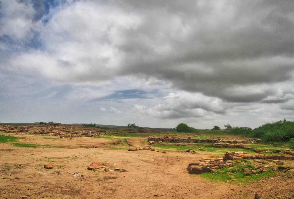
This was one of the megacities of the Harappan era, over 4000 years ago. Dholavira was one of the largest cities in the world in its time and also one of the oldest. Having been in continuous occupation for over 1700 years, from around 3500 BCE to 1800 BCE.
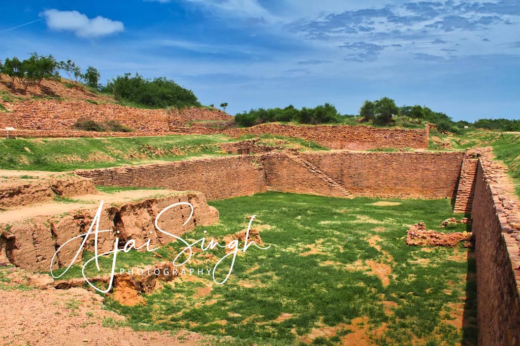
Discovered as late as in 1956, its 100-hectare area is surprisingly well preserved. A striking aspect of Dholavira is the water management system. It consisted of a combination of channels and reservoirs, which are amongst the earliest such networks made of stone in the world. A total of 16 freshwater reservoirs have been excavated till date.
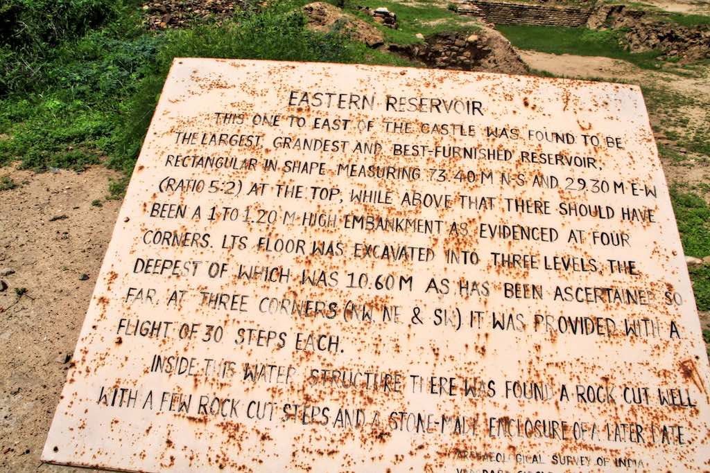
Bisht, who retired as the Joint Director-General of the ASI, said, “The kind of efficient system of Harappans of Dholavira, developed for conservation, harvesting and storage of water speaks eloquently about their advanced hydraulic engineering, given the state of technology in the third millennium BCE.” One of the unique features of Dholavira is the sophisticated water conservation system of channels and reservoirs, the earliest found anywhere in the world, built completely of stone. The city had massive reservoirs, three of which are exposed. They were used for storing fresh water brought by rains or to store water diverted from two nearby rivulets. This clearly came in response to the desert climate and conditions of Kutch, where several years may pass without rainfall. A seasonal stream which runs in a north-south direction near the site was dammed at several points to collect water.
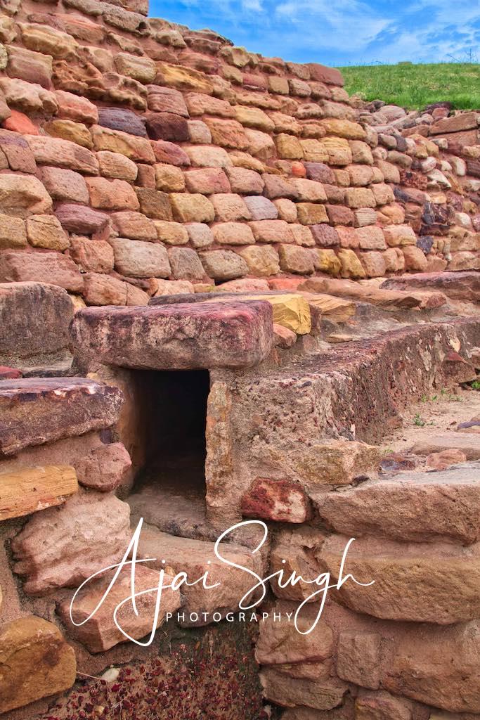
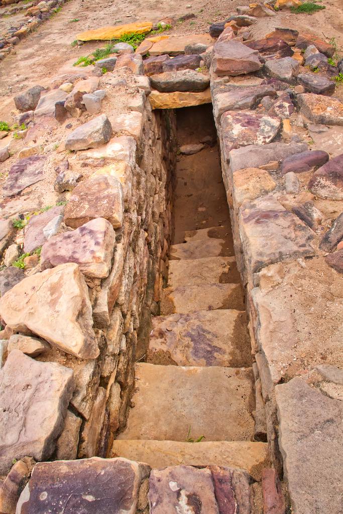

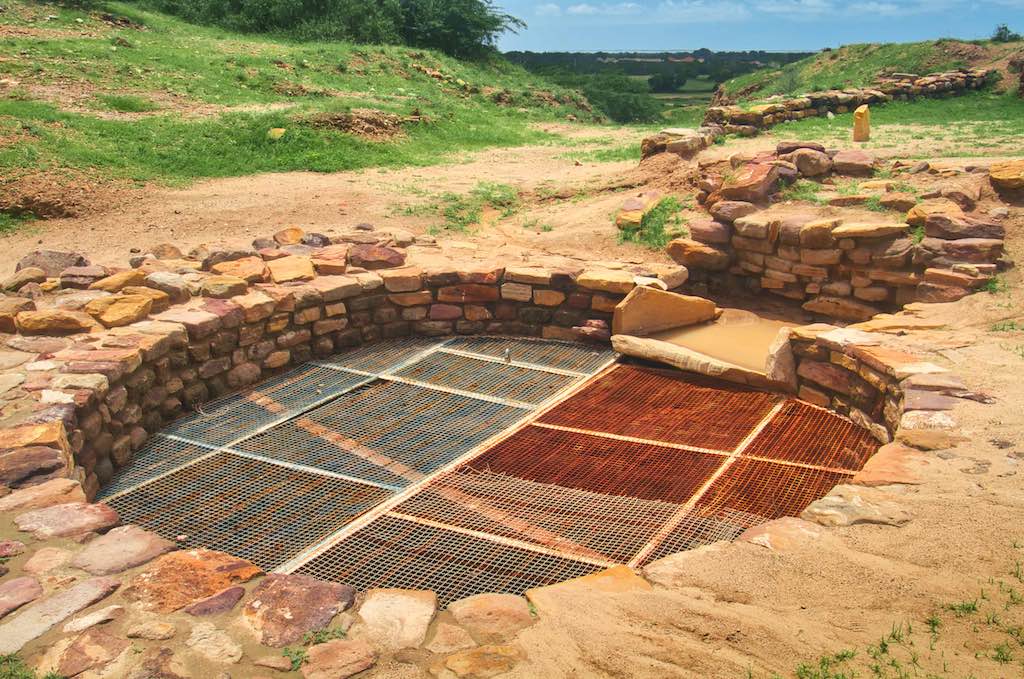
The most striking feature of the city is that all of its buildings are built of stone, whereas most other Harappan sites, including Harappa itself and Mohenjodaro, are almost exclusively built of brick.

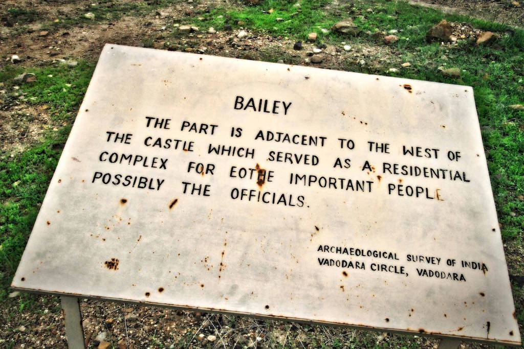
Unlike Harappa and Mohenjodaro, the city was constructed to a pre-existing geometrical plan consisting of three divisions – the citadel, the middle town, and the lower town. The acropolis and the middle town had been furnished with their own defence-work, gateways, built-up areas, street system, wells, and large open spaces. The acropolis is the most thoroughly fortified and complex area in the city, of which it appropriates the major portion of the southwestern zone. The towering “castle” stands is defended by double ramparts. Next to this stands a place called the ‘bailey’ where important officials lived.
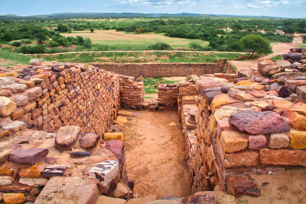
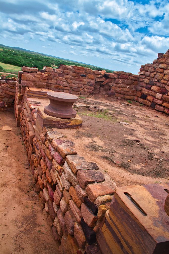
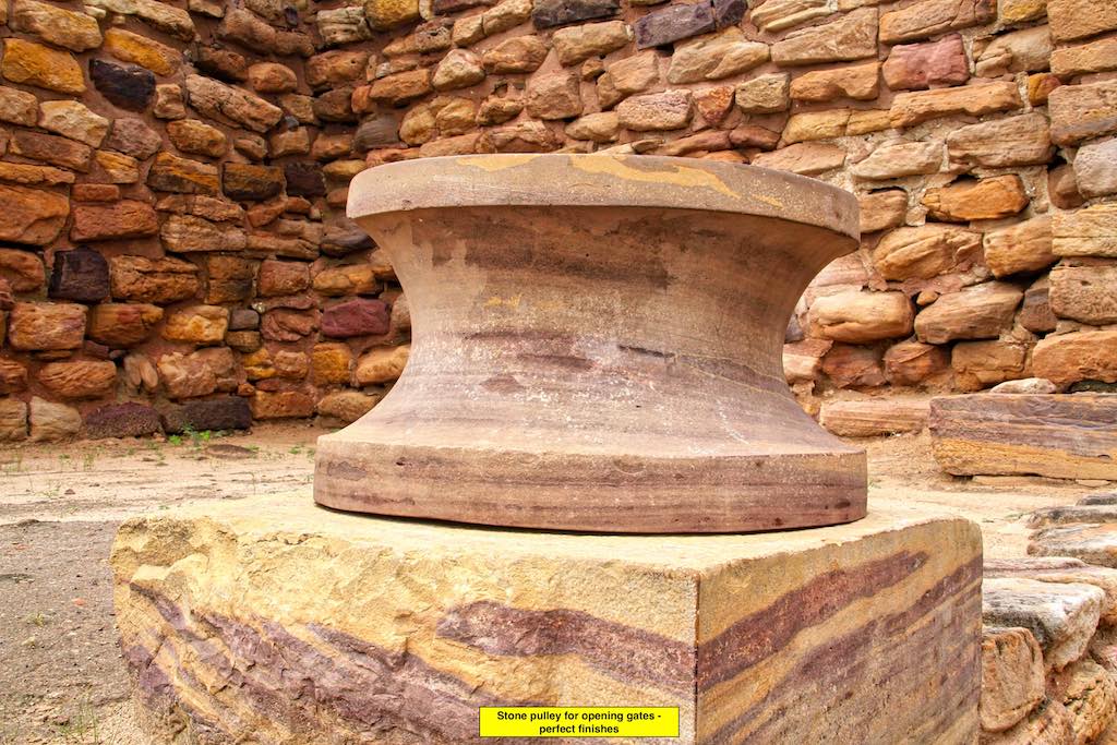


The series of water reservoirs excavated partly into live rock was one of the highlights of the place.

There was also a huge swimming pool, with a diving board made from a stone slab.

Enormous fortification walls measuring 15-18 meters in thickness surrounded the city.


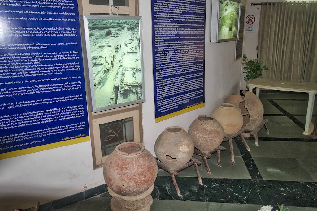
One of the most significant discoveries at Dholavira was made in one of the side rooms of the northern gateway of the city, and is generally known as the Dholavira Signboard. The Harappans had arranged and set pieces of the mineral gypsum to form ten large symbols or letters on a big wooden board. At some point, the board fell flat on its face. The wood decayed, but the arrangement of the letters survived. The letters of the signboard are comparable to large bricks that were used in nearby walls. Each sign is about 37 cm (15 in) high and the board on which letters were inscribed was about 3 m (9.8 ft) long. The inscription is one of the longest in the Indus script, with one symbol appearing four times, and this and its large size and public nature make it a key piece of evidence cited by scholars arguing that the Indus script represents full literacy. A four sign inscription with large letters on sandstone is also found at this site, considered first of such inscription on sandstone at any of Harappan sites.

While there are other theories, most archaeologists today agree that it was climate change, probably triggered by a tectonic movement that led to the collapse of the great Harappan cities, and across the Bronze Age civilizations during that time.
One very interesting aspect missed out in all descriptions of Dholavira is that the site sits astride the Tropic of Cancer! This adds to the mystery of the planners who had the knowledge and choose this location to build the city.

If you are planning to visit Kutch, as I always say, do your homework, and include Dholavira in your itinerary.
Fossil Park
10 km ahead of Dholavira lies another of the hidden wonders of India – the Fossil Park. Gigantic plant fossils belonging to the Jurassic age have been discovered here. A rare historical treasure indeed! The place is relatively unknown, even to those few who manage to visit Dholavira. It was a chance conversation with a tea stall owner near Dholavira that we came to know about this place and decided to see it for ourselves.


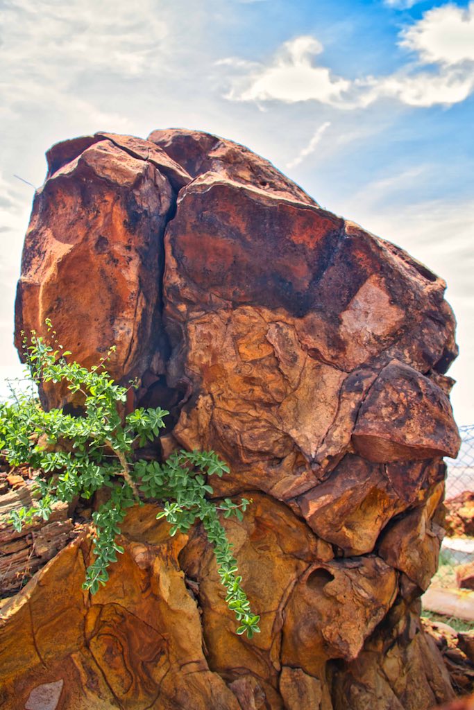
Some of the plant fossils, called petrified wood, are eight meters long and from half to one meter in diameter. The Jurassic age pertains to the Aalenian-Bathonian period that dates back to 187 to 176 million years! We came to know that this site was a chance discovery, which happened as recently as 2007.

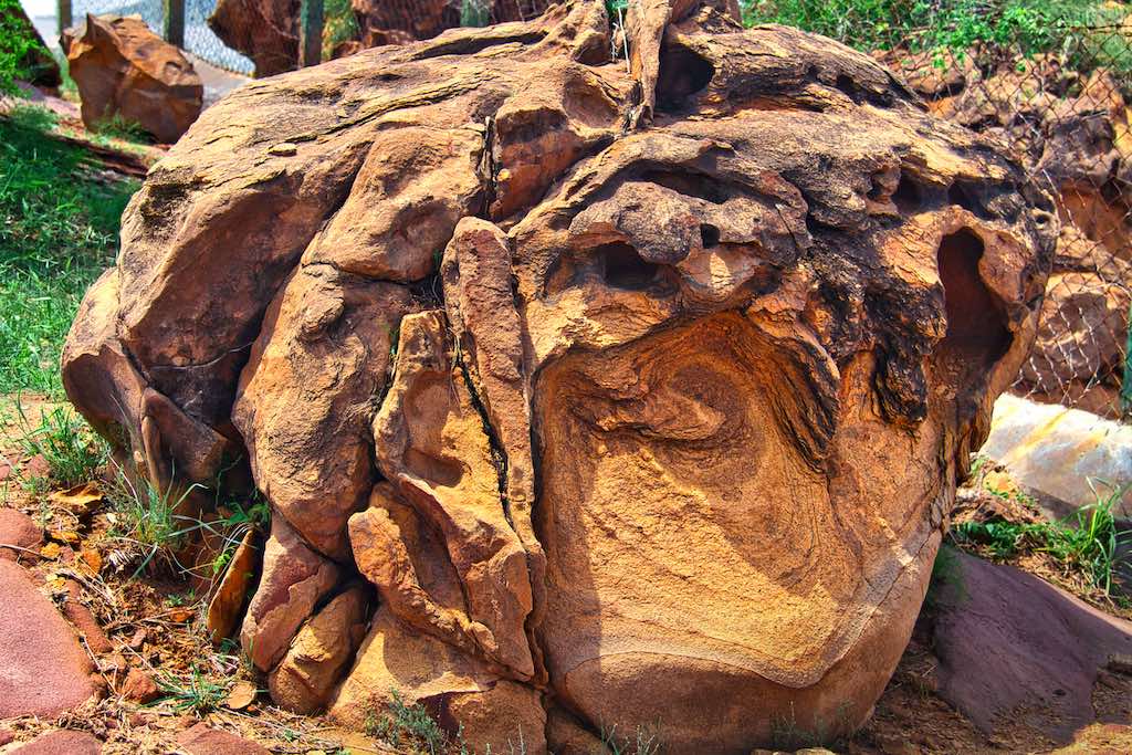
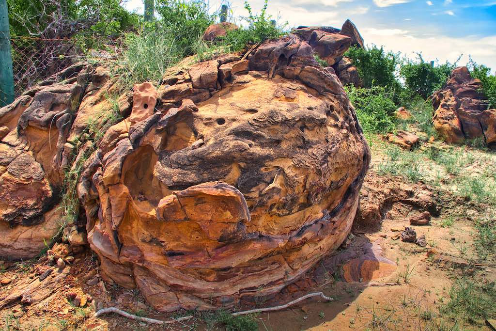
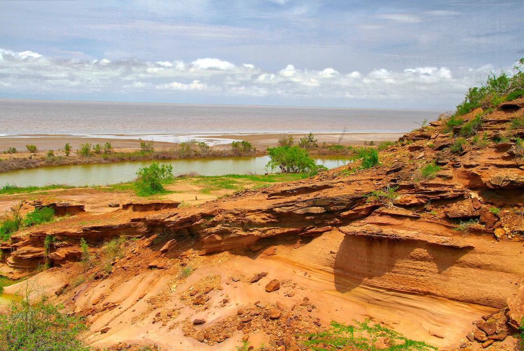
The site is fenced, but unattended. Located just on the edge of the Rann, one can see its flat surface stretching endlessly into the beyond. The trees were amazing to see, as they looked more like rocks than wood, but with rings in their trunks and other features associated with trees. It was definitely worth the bumpy ride over a disappearing, unmarked track, which seemed to be hardly used.


From there we took the small ride to the last BSF Post on the Indian side of the border, another half kilometre ahead.
An ancient Karni Temple existed in the area, on the edge of the Rann. It was functional and maintained, and I wondered how many people would be coming there, other than those from the Post itself
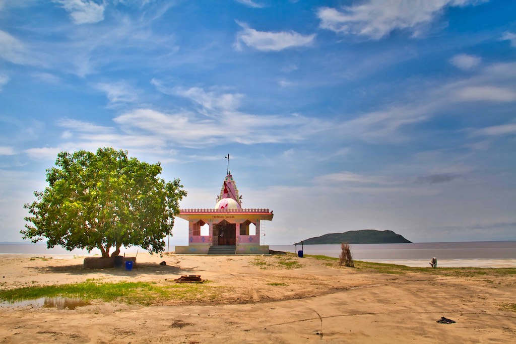
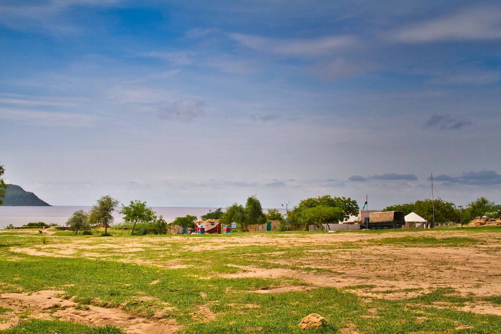
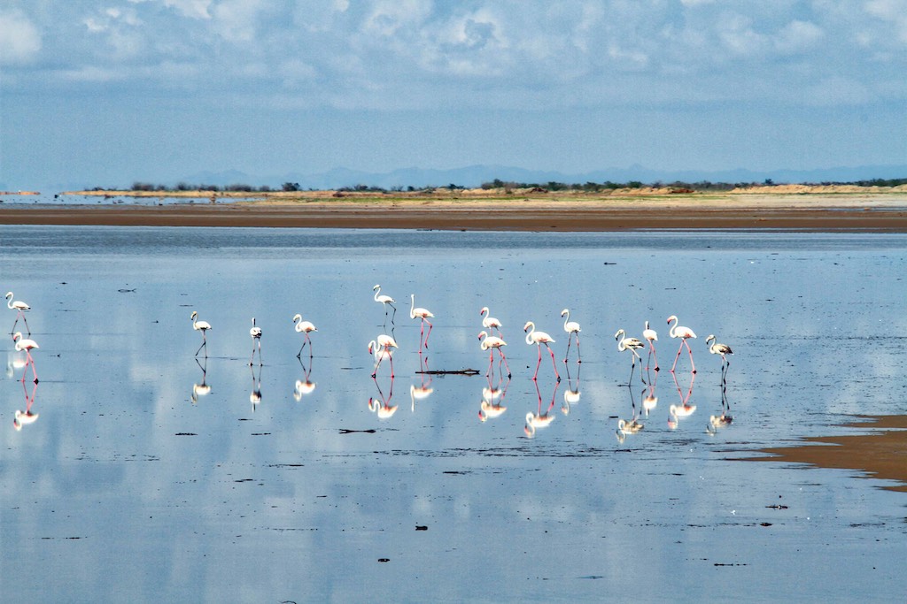
That was the limit till where we could go. It had been an enlightening day for us, seeings things which one had only read in books. There was a reasonable drive back to be made to Anjar and so we headed back. On the way we came across the famous pink flamingos feeding on the Rann, a surprise as this was very much off season. Time was short, so I managed to take a few hurried photos before we continued on the return journey.

Fossil Park is not very well known, nor is it publicised. Maybe it is for the good. It has remained well preserved for millions of years, and it should remain that way. But for the curious, I would definitely recommend a trip to this remote corner of India, right on the border with Pakistan!
In the previous blog, “Exploring Kutch” read about the other attractions of the region here.
Note: All photographs displayed above are my exclusive property and copyright; their use is prohibited without explicit consent, in writing.


3 Responses
Wonderful fossil park … I visited in April 2024 …. And this reminds all memories… thanks
Thanks for the comment. Yes, it’s one of the unknown wonders of India!
I am in Dhordo today. Will be going to Dholavira tomorrow. Shall definitely go to fossil Park. Thanks