

.
The list of all my blogs has been compiled and can be seen at the link below. With a large number of blogs on my website, at times it is difficult to locate specific blogs.
.
Note to Readers:
A majority of blogs on my website are related to Bharat’s heritage and traditions, with a focus on the grand temples dotting the country. In a departure from the norm, this blog is about a family holiday in the summer of 2023. Readers are welcome to go through it to discover some exotic and remote places we visited in Canada during this outing, though I thought I would mention this fact for those looking for information on our heritage/temples.
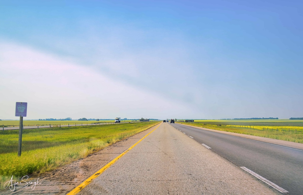
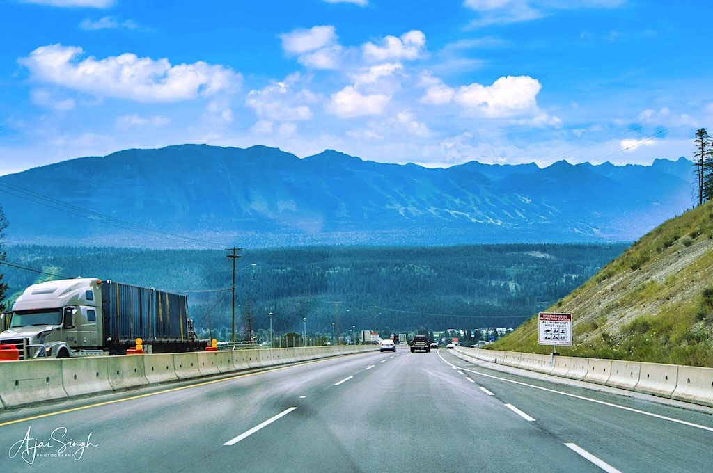
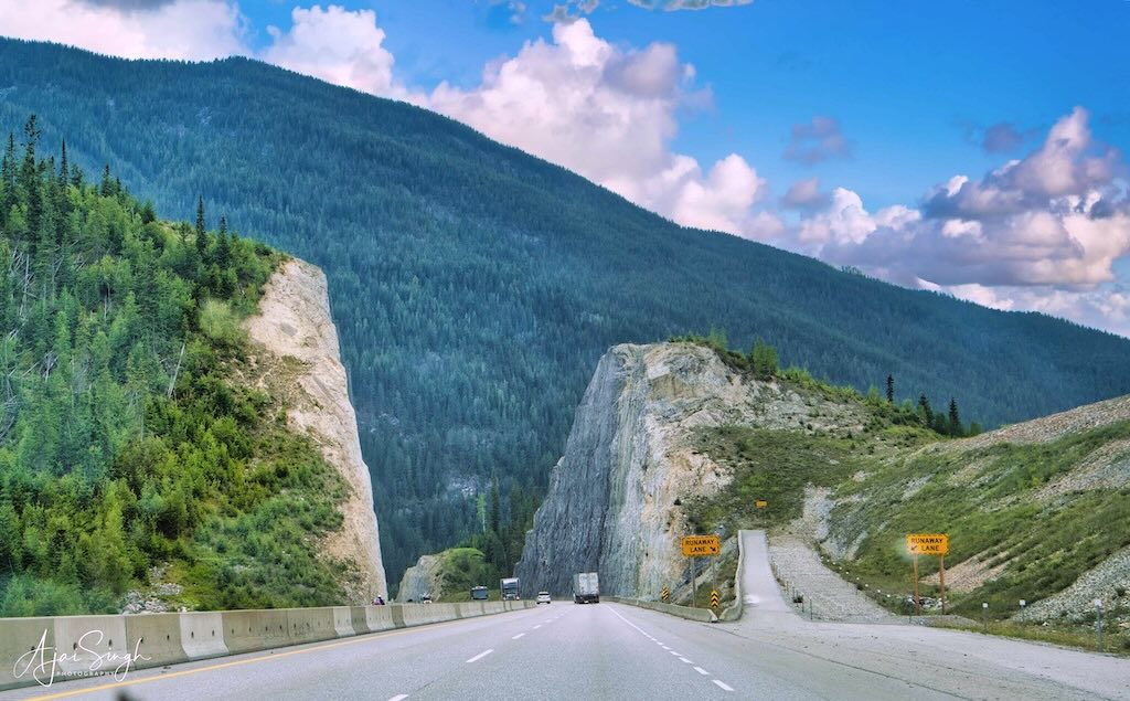
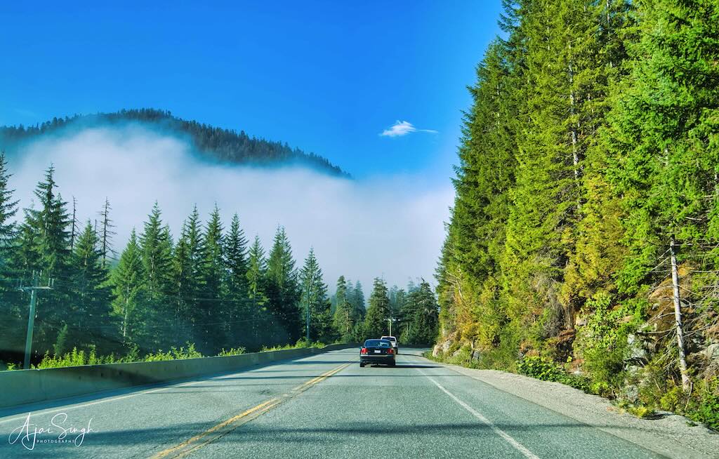
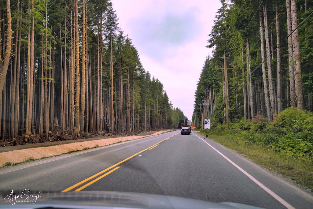
Photos of the highway and the scenic views around are taken during the drive. Many are taken through the car windshield. Hence, the tint of the windshield and any dirt on it may make many of these photos show patches on the lighter sky portion.
.
The Canada sojourn was long delayed. First, due to the Covid pandemic which froze all travel for over 2 years. Then because of visa issues – the renewal of my visa in 2022 took over seven months! In the meantime, Richa was settling down in her new home, and 2023 seemed the ideal year for making the trip. Our last trip had been in 2015, and this was long overdue. Since Richa had been visiting India regularly, however, the absence had not been felt too much.
.
.
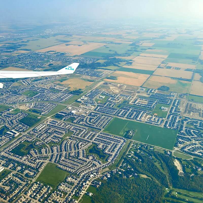
We decided against a short stay so that the effort made in undertaking the long journey to Canada would be worth the effort – a 4-month stay was thus planned. After a hectic few weeks visiting markets around Delhi and Noida, the departure date finally arrived in mid-June. In a change from our previous experience, the KLM flight was pleasantly different and comfortable. The short halt at Amsterdam – which was halfway to Edmonton – was a perfectly timed break, and not overcrowded as compared to other airports in Europe.
.
.
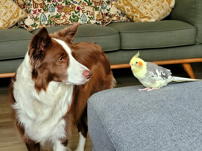
Edmonton is a small airport, and it was easy to catch sight of Richa after clearing the formalities, though the drive home in pouring rain was a bit of a dampener. But then the welcome waiting at home by Yoda, the gentle and hyperactive Border Collie, dispelled any gloomy thoughts! This was joined in by the new acquisition, Nibu, the equally hyperactive whistling Cockatiel.
.
.
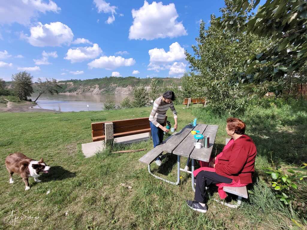
The initial period was spent settling down, getting used to the new neighborhood, and taking Yoda for long walks, and occasional trips to the local sights. The first week also saw a stream of dinners for all of Richa’s friends who came home to meet us. Among the places we visited, the Edmonton Whyte Avenue Art Walk was a unique experience, walking through the streets with over 400 artists displaying their creations on the sidewalks. A visit to the Farmer’s Market at St Albert was another new experience, though it was more of a polished version of the haats that are a weekly event in most Indian cities, where locals and nearby villagers bring their produce, handicrafts, and utility items to sell.
.

.
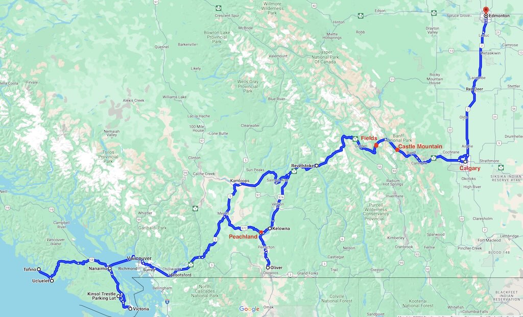
Richa had planned for a 2-week road trip in end-July and we planned to drive to Vancouver Island, visit Monika at Nanaimo, and go to the end of the Canadian highway system on the Pacific coast at Tofino. We loaded up for the long drive and one fine early morning we set off. The route chosen had to cater to areas prone to forest fires in the Rocky Mountains, thus ruling out some of the smaller picturesque roads we had earlier hoped to drive on. Forest fires are a big hazard during summer months, more so in recent years.
.
.
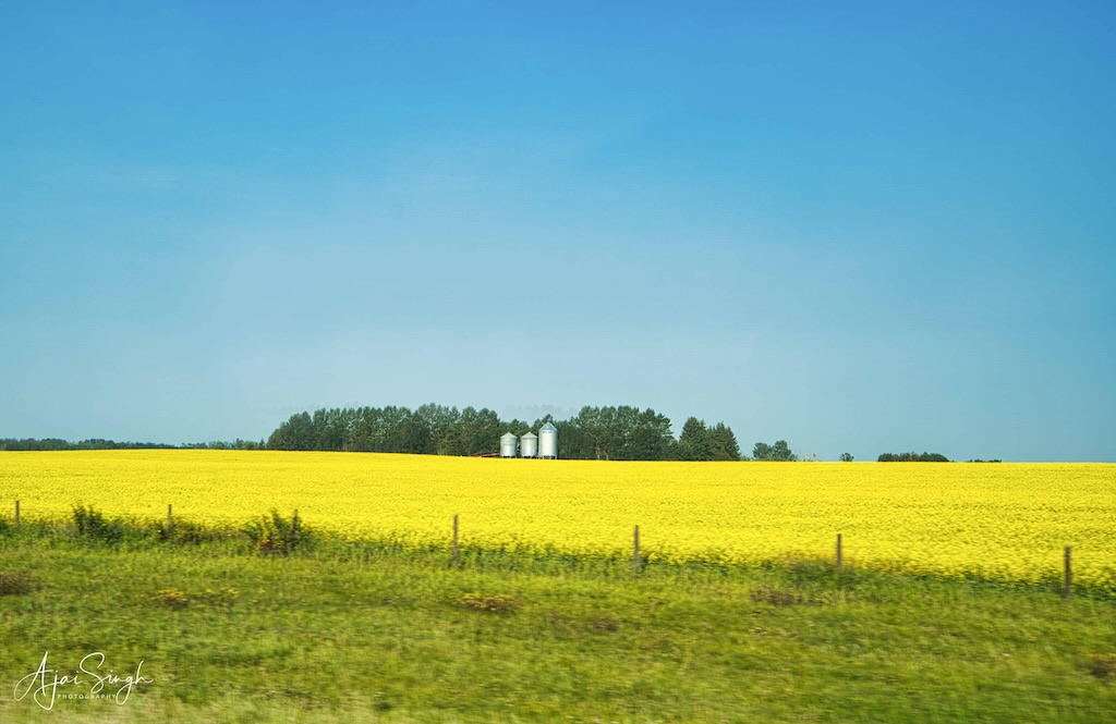
Our journey started on 21 July 2023. The first leg of the drive from Edmonton through Calgary is across the vast prairies of Canada, once famous for herds of bison and Red Indians (now called the First Nation), and are now under cultivation for as far as the eye can see. Huge farms, in which farmers were conspicuously absent – a fact that has always intrigued me.
.
.
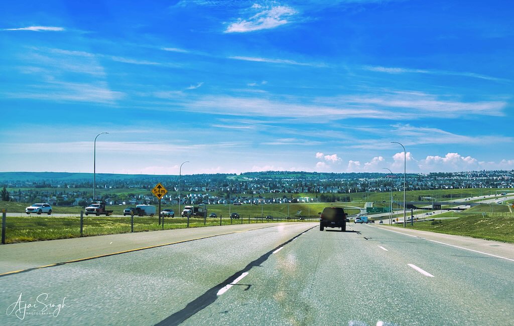
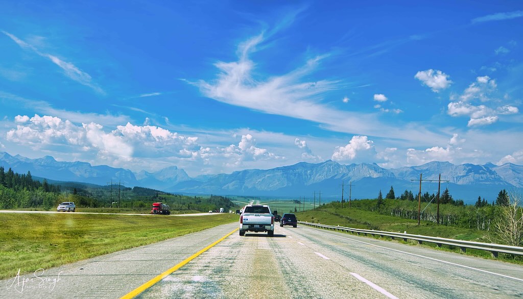
Large Canola cultivation continued for miles along the highway – its oil is one of Alberta’s biggest exports. We bypassed Calgary to avoid the city traffic and only got a fleeting glimpse of the gentle hills across which the city has been built. A short distance after Calgary, the Rocky Mountains become visible, looming over the plains. One gets on to the Trans-Canadian Highway at Calgary, which continues beyond Vancouver, to Vancouver Island and ends at Tofino on the Pacific Coast! Most of our journey would be on this road.
.
.
At one of the smaller towns, we stopped for a cup of tea at a McDonald’s. The place was filled with local folk having breakfast, probably a daily routine in today’s world when most did not bother to cook at home. Refreshed, we continued the journey and soon entered the mountains. For those used to the Himalayas in India, the term Rocky “Mountain” appeared somewhat of a misnomer. Not only were the peaks much lower, but the road also didn’t feel like a ”mountain” road during the drive!
.
.

.
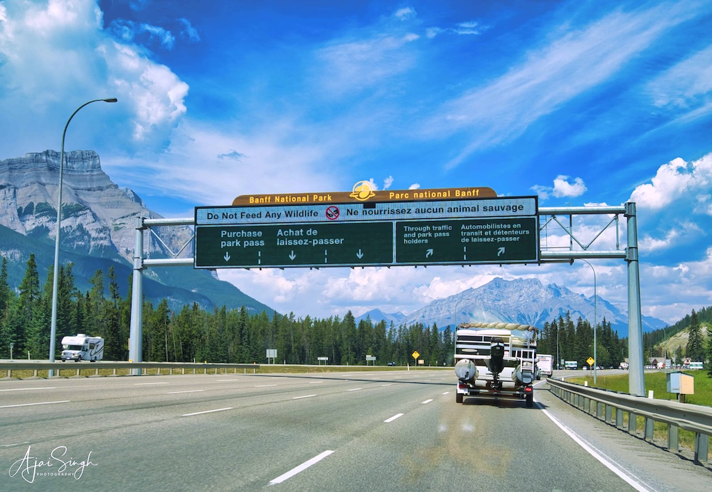
One of the first viewpoints one comes across in the Rocky Mountains is Lac des Arcs, a beautiful lake alongside the highway. The popular tourist town of Banff follows soon after. We did not enter the town as we had a long drive ahead of us and the three of us had already stayed in Banff during our previous trip. The famous Icefield Parkway drive extends from Banff to Jasper, reputed to be amongst the world’s most beautiful road journeys. It is beautiful, but the judges who rated this have not traversed the Himalayan roads that stretch across 1000s of kilometers in the northern parts of India!
.
.
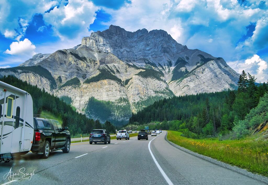
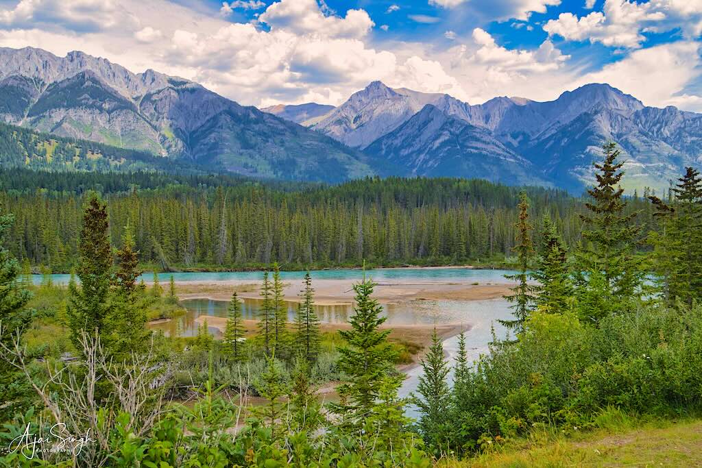
The highway from Banff towards Vancouver cuts across the Rocky Mountains and is a picturesque drive through mountain peaks, rivers, lakes, and forests. If one ventures into the interiors, there are innumerable hiking trails, waterfalls, camps, and resorts. The summer months are the peak tourist season, and everything is booked months in advance. Last-minute bookings can be frightfully expensive and Richa had taken care to do all the bookings well in advance. We planned to cover the distance – about 1,400 km – with two halts, instead of rushing through the beautiful countryside.
.
.
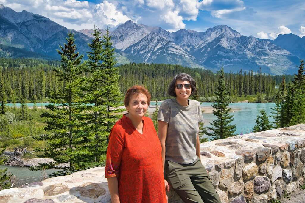
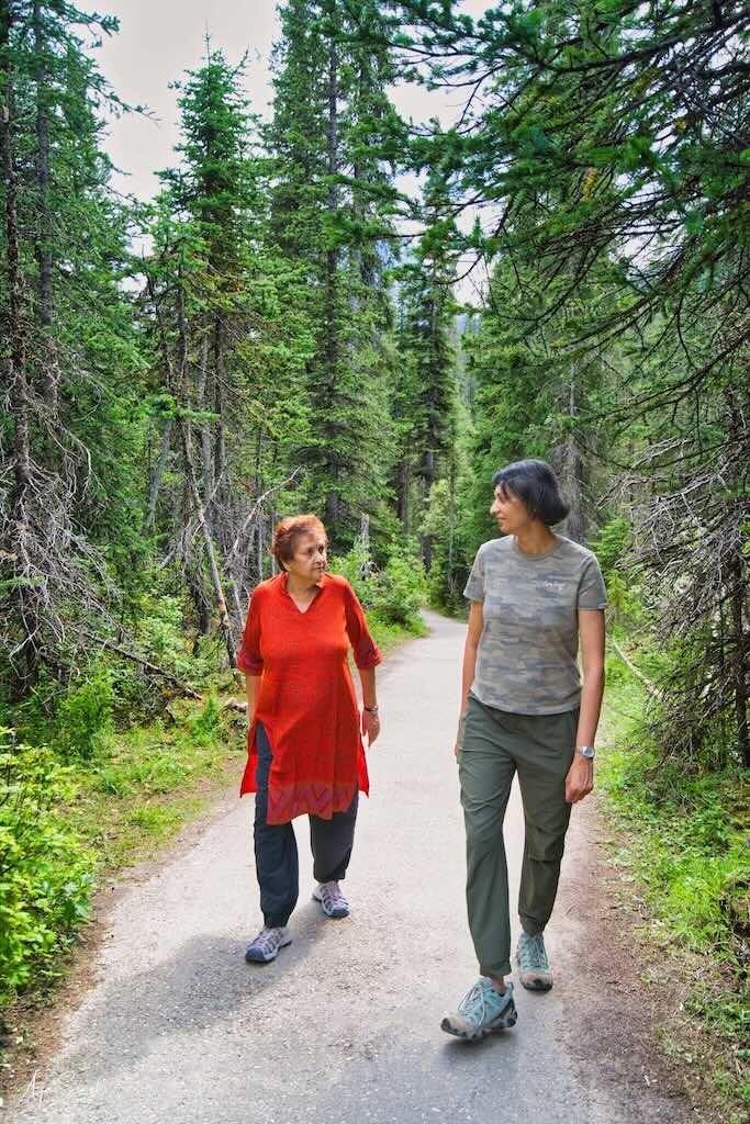
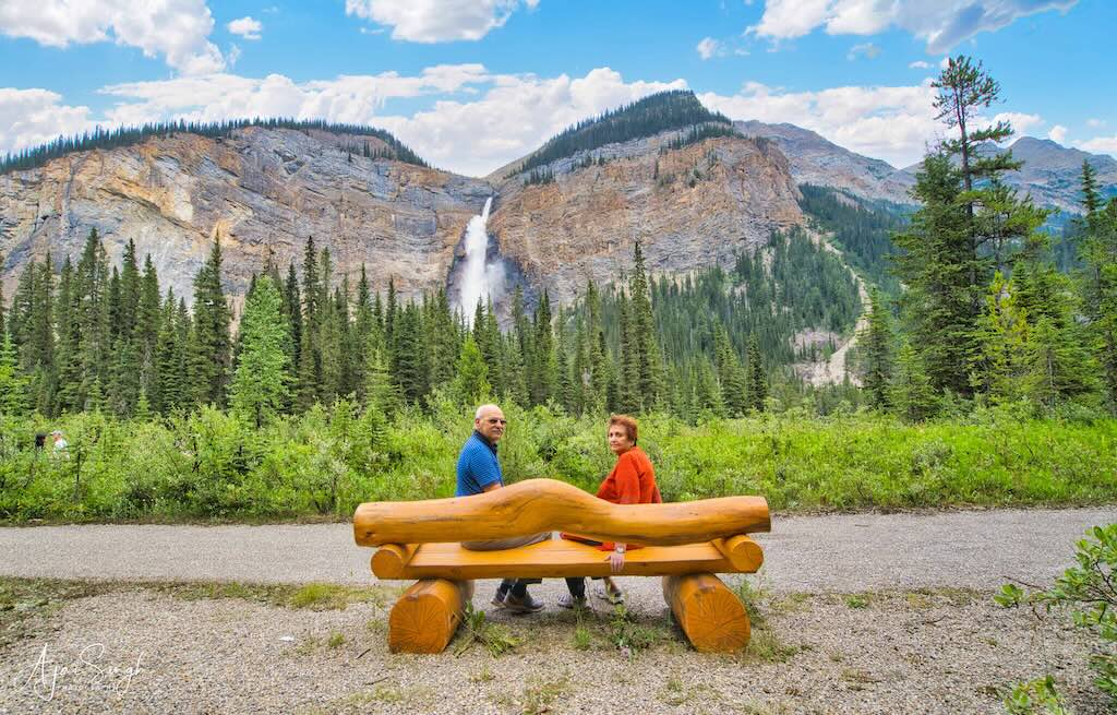
One of the tourist halts on the highway is Fields, a small community in the Kicking Horse River Valley in the Yoho National Park. The Canadian Pacific Railway also passed through the place. Before we reached there, we saw a sign for the Takakkaw Falls on the highway. On the spur of the moment, Richa took the turn, even though it was a considerable distance in the interior. The decision was worth it and the falls were one of the most spectacular sights of our trip. It is the second-highest waterfall in Canada, with a fall of 833 feet. “Takakkaw” translates to “magnificent” in Cree. The falls are fed by the meltwater of the Daly Glacier, which is part of the Waputik Icefield. Despite its remoteness, there were a large number of tourists at the place.
.

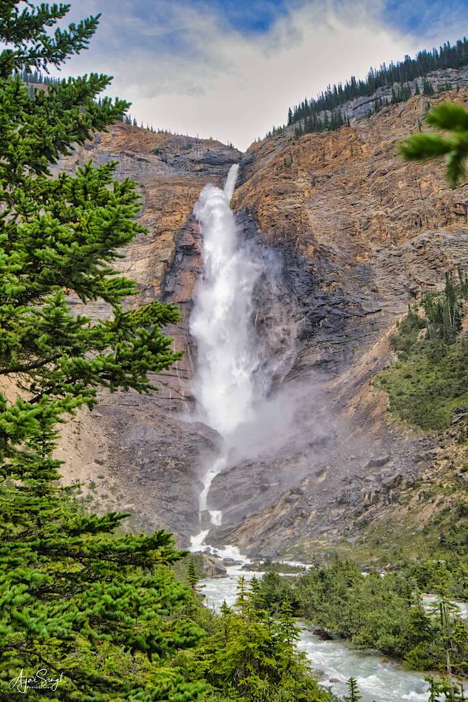
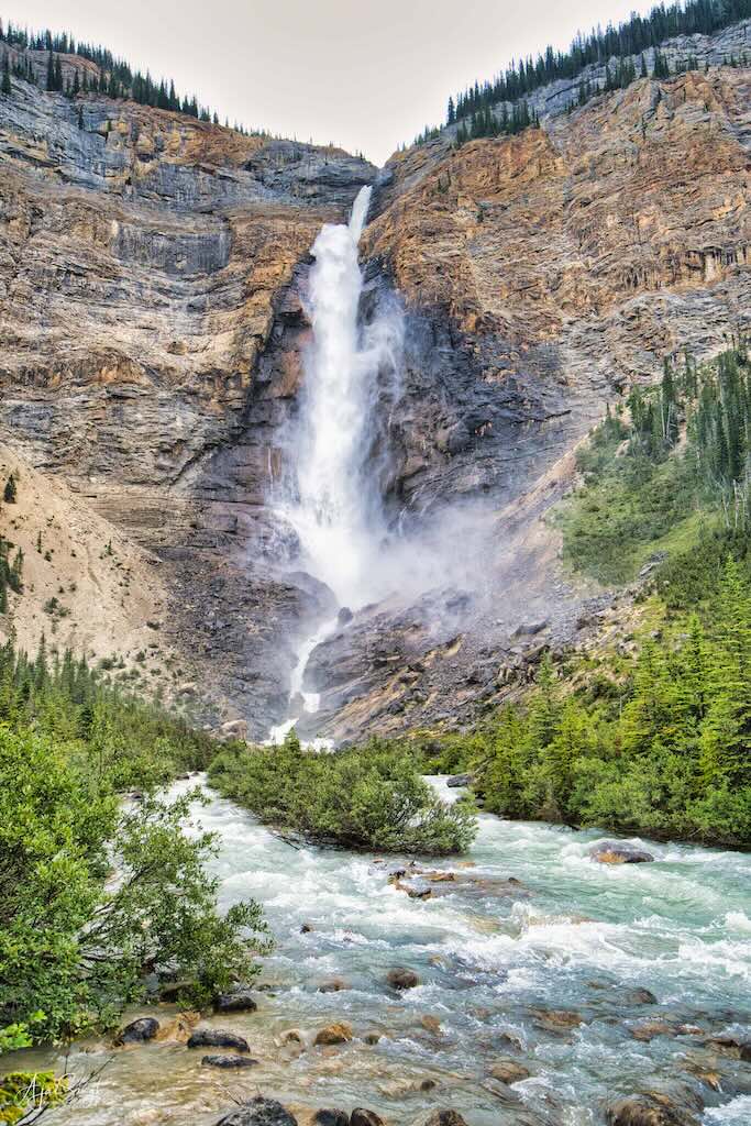
The spectacular Takakkaw Falls
.
Thereafter, we passed through Golden, situated in a river valley surrounded by mountains. As the highway approached the town from above, it presented a lovely sight unfolding ahead. Richa, Jasdeep, and Ankita had done their sky-diving jump here during one of the earlier trips to Canada in 2013. Probably their first AND last jump!
.

.
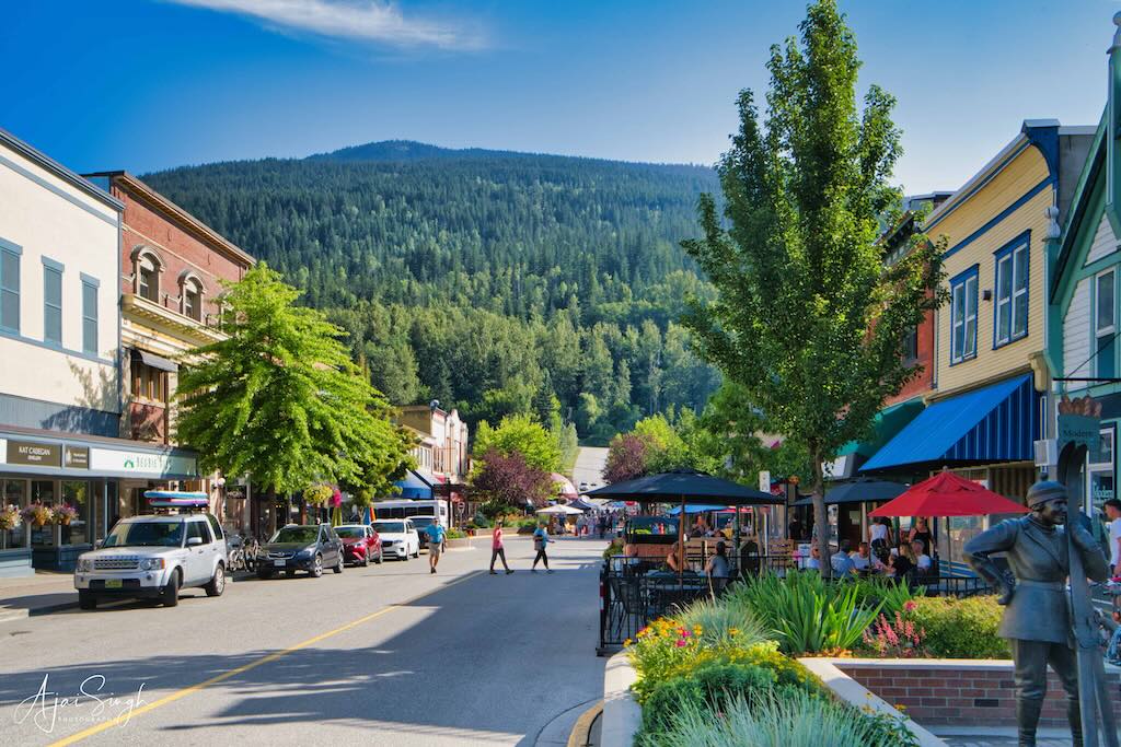
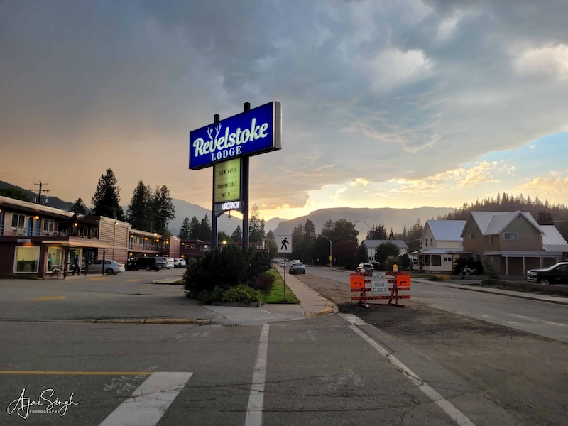
Our first night’s halt was at the town of Revelstoke. We reached by late afternoon. Since it became dark late in this part of the world, from what I was used to in India, the sense of timing needed time to adjust to. The motel, The Revelstoke Lodge, was adequately functional, and a hot water bath washed off all the tiredness.
.
.
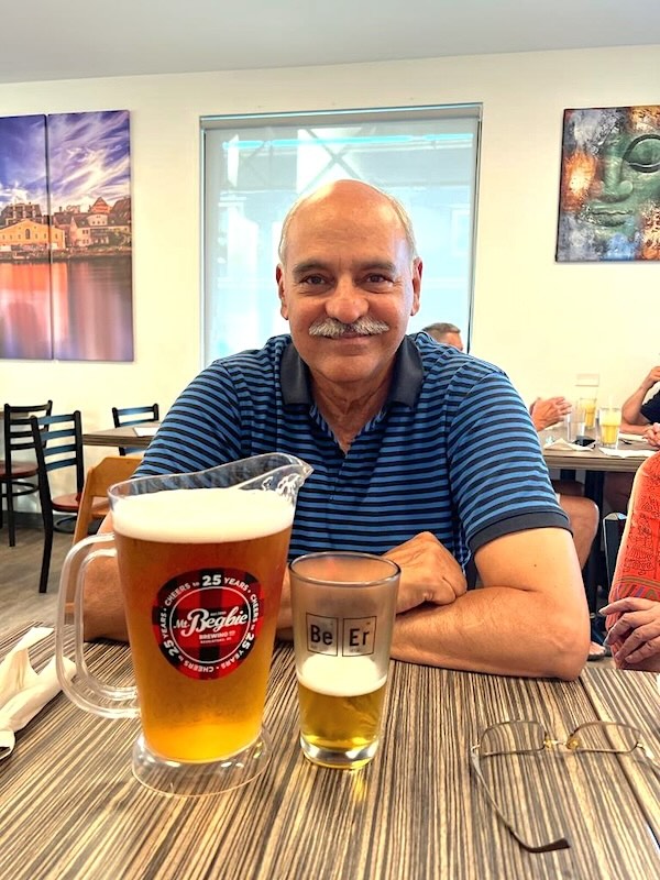
Walking through the small town in the evening, we were pleasantly surprised to find an Indian restaurant, Paramjit’s Kitchen, even though we had seen no Indians there. The restaurant was run by a Canadian couple and was packed. It seemed the locals relished the Indian cuisine. Finding Indians in their eatery, the couple running the show fussed around and produced one of the most authentic-tasting Indian dishes we had eaten. The offer of a pitcher of beer at discounted rates turned out to be the real surprise of the evening, as its volume was double what we thought we had ordered. But then such minor inconveniences are never a problem and the beer vanished soon enough to the consternation of Ranjana!
.
.
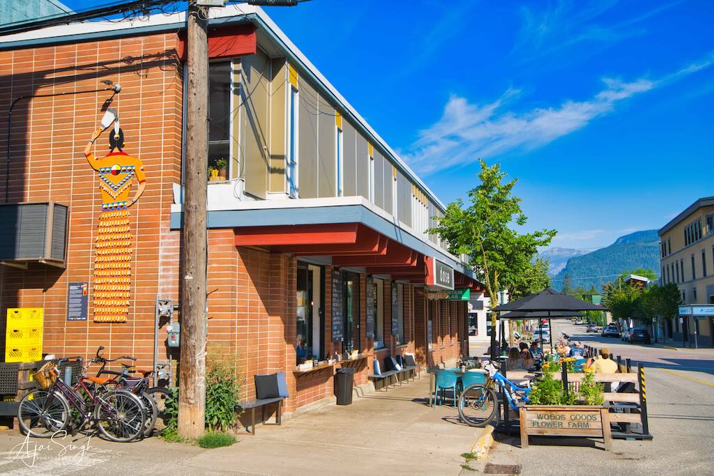
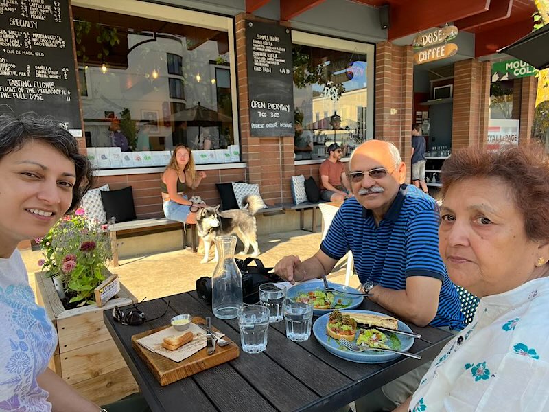
The next morning we walked down to a cheery café nearby, Dose Coffee, which was supposed to have an excellent variety of pastries, breads, etc. The name also sounded intriguing and reminded us of dosas, though it had only Western items on its menu. The food tasted as good as publicized, eaten outdoors under garden umbrellas.
.
.
Further along the highway was the town of Sicamous, which is a road junction where the Trans Canadian Highway continues to Kamloops. We left that highway and took the 97A towards Kelowna. The town is a small farming community and there was a gaily decorated farmer’s market visible as we drove past. We decided to explore the market and parked the car to walk through the festive crowd thronging the side road. Various items were on sale, as were local eatable items. A large shed nearby with the sign D. Dutchmen Dairy Ltd had calves in pens, with a line of children queuing up to see the young ones and pat their soft and wet noses through the wooden enclosure. After tasting a local ice cream, we continued our journey.
.
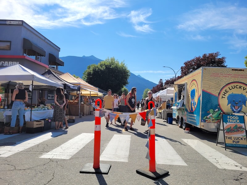
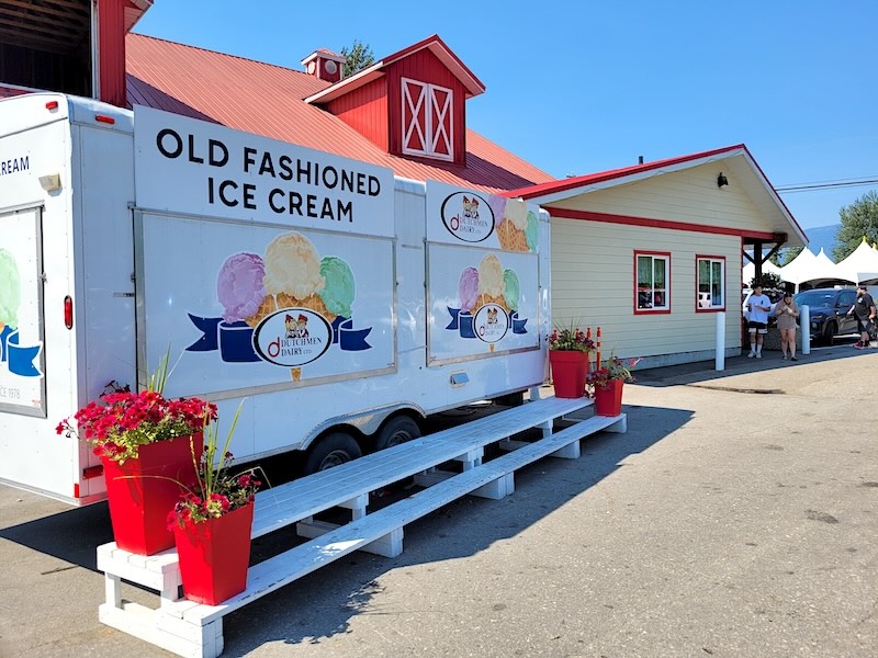
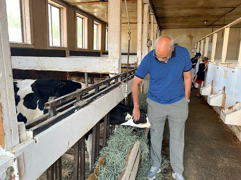
The Farmer’s Market at Sicamous
.
The drive to Kelowna continued across densely forested areas. The later part of the journey was along the Okanagan Lake, a huge lake that runs in the north-south direction, and is about 135 km long, its deepest point being 750 feet!
.

.
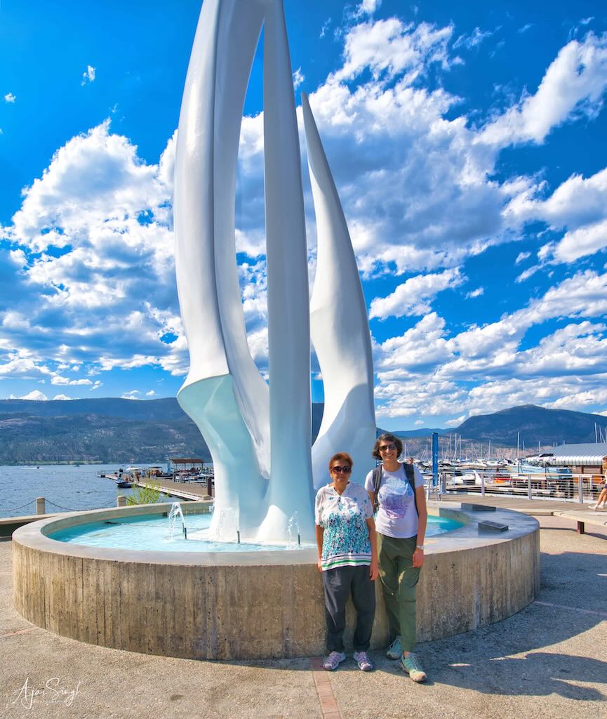
Kelowna is one of the bigger cities of Canada, situated on the lake and the name Kelowna derives from the Okanagan word meaning a grizzly bear. Being the holiday season, the downtown, near the lakefront, was jammed with cars and after driving around for a while, we managed to find a parking slot some distance away.
.
.
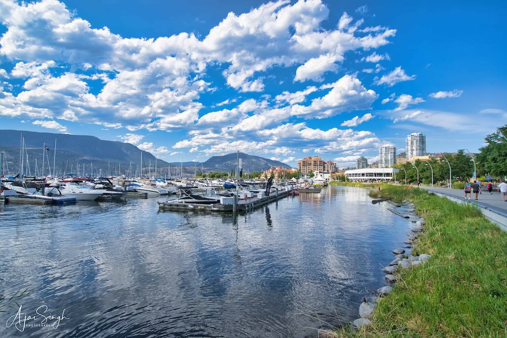
The Kelowna Downtown Marina was teaming with holidaymakers on the clear, sunny Sunday morning. We strolled across the huge park where numerous performers were entertaining children, while some took the opportunity to snooze on the grass in the sun. Getting something to eat became a problem since Ranjana wanted a vegetarian item, as she was not sure of the fillings in the non-vegetarian ones. After enquiring from numerous eateries, we finally discovered a small outlet, Curious Café, which had a vegetarian sandwich on its menu.
.
.
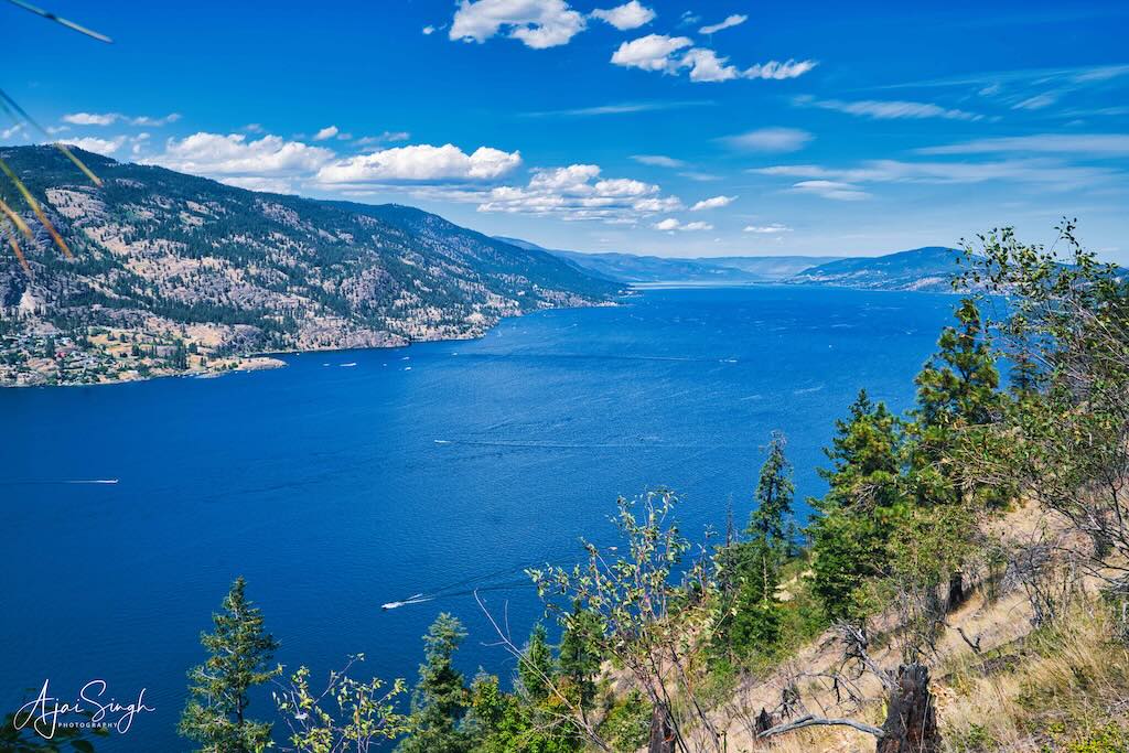
A trip to the Knox Mountain viewpoint to get a bird’s eye view of Okanagan Lake was next on our itinerary. As is common with a city expanding in a hurry, the route to the viewpoint, though marked on the map, couldn’t be found on the ground. After driving around what was obviously a wealthy neighborhood (being a hilltop) we finally found the narrow walking track between two huge houses marked with an insignificant sign indicating the direction of the viewpoint. There was no parking to be seen anywhere! So we parked in front of one of the mansions, hoping for the best, and walked to the hilltop a slight distance away.
.
.
The view of the huge lake, extending as far as the eye could see, made the trip worth the effort. The hillside sloped steeply into the lake, making the view all the more spectacular. The place was deserted. However, we could see numerous watercraft zipping across the waters far below. The location, though shown as a major tourist destination on the maps, was otherwise quite neglected and probably not much visited. The car was still where we had parked, which was a relief as we were not sure how the residents would react in such a neighborhood.
.
.
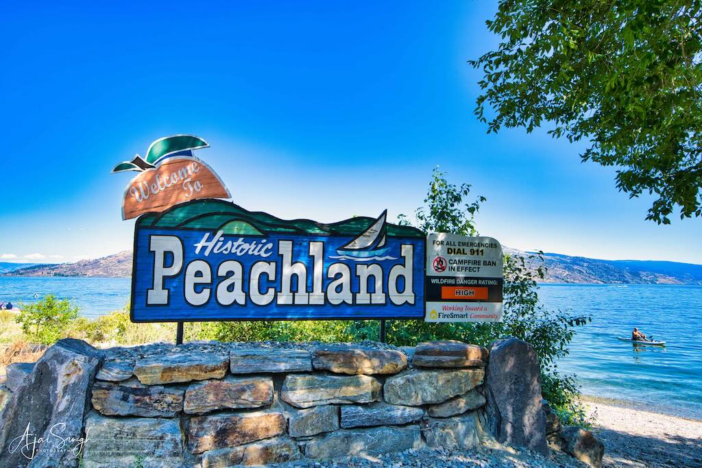
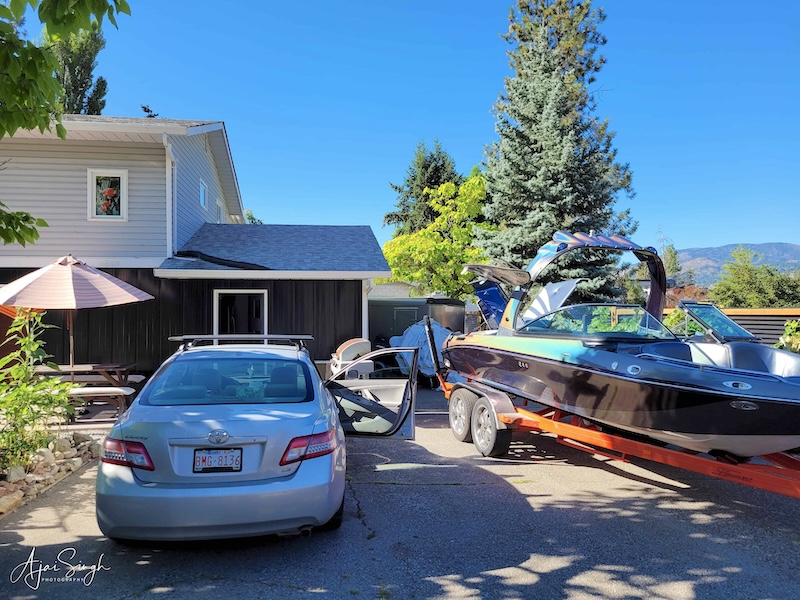
From here we then drove directly to Peachland, where we were making the next night’s halt. Peachland is a small town on the highway, not far from Kelowna, and also located on Okanagan Lake. We reached the homestay well in time and checked in. The house was located within easy walking distance from the waterfront and appeared to be a converted garage of the big house behind. It was well-furnished and had all the amenities and gave us the chance to wash our clothes too!
.
.
We walked to the waterfront, where there was a large floating inflatable children’s playpen. That was the major attraction, with numerous families on the pebbly beach relaxing and watching the children frolic in the water. Richa had been eager to take a dip in the water, which was chilly, but seeing the kids playing gave us the courage to venture in. Initially, it WAS cold, but as long as I remained submerged till my nose, it soon became tolerable. A good experience in the clear waters, with kids screaming around by the side. Richa checked if her mobile was waterproof by taking some pictures underwater – it passed the test!
.
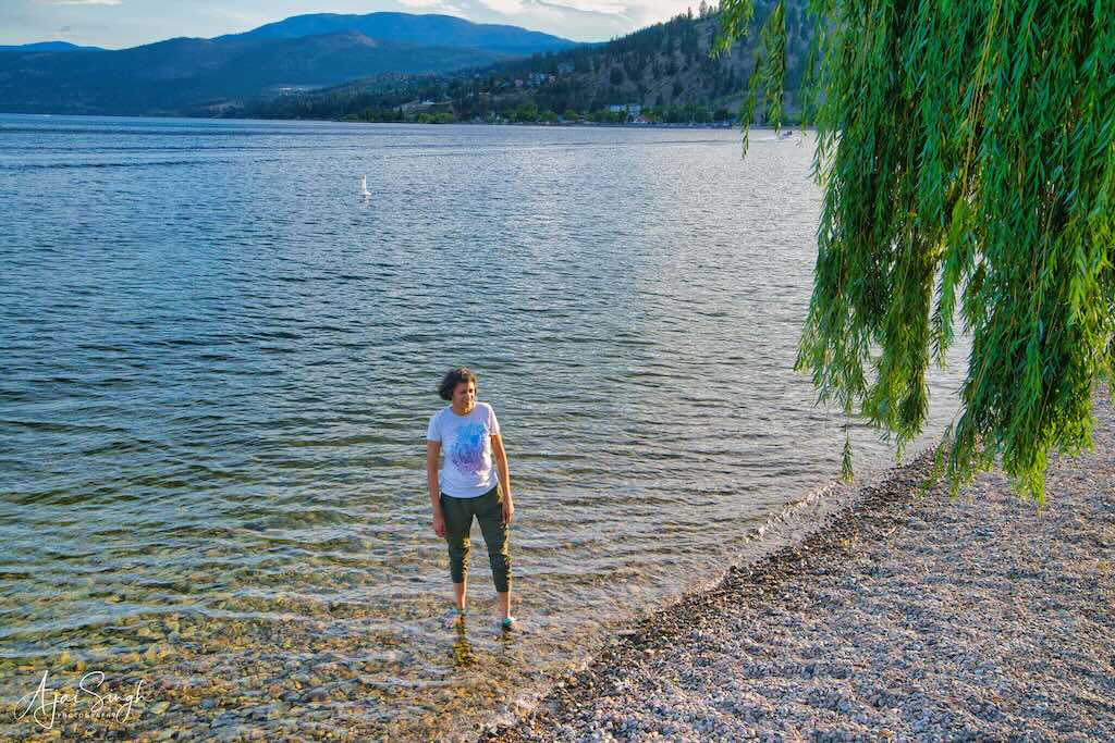

Enjoying the chilly waters of Okanagan Lake at Peachland
.
That night we had a bizarre experience. Sometime after midnight, there was loud knocking on the door. Not sure what was the cause, or how to react, and since the knocking continued, I opened the door. There stood a policewoman with her buddy, shining her torch on my face. I was informed that there was a police call from here and asked if we had called. I replied in the negative and said we were travellers passing through, and that the main house was behind. The police left. The loud talk continued for a while, and it was probably a call related to domestic violence since we could hear shouts till much later that night.
.
.
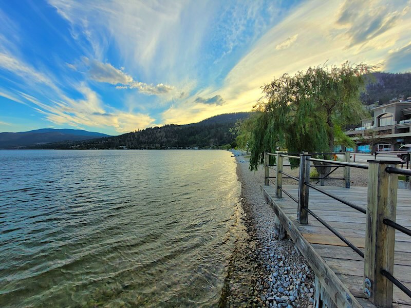
After an early morning walk the next day on the deserted waterfront, we drove off, this time to the south towards the US border. This was the famed wine country of Canada, sprinkled with innumerable vineyards and wineries. The first destination was Penticton, a small town in the Okanagan Valley, situated between Okanagan and Skaha lakes. These lakes are part of the drainage system of the Okanagan River, a tributary of the Columbia River which flows into the US. The name Penticton is derived from a word in the Okanagan language translated as “a place to stay forever” but is actually a reference to the year-round flow of Okanagan Lake through Penticton where it enters Skaha Lake (originally known as Dog Lake). The site of the city was first settled by the Syilx (Okanagan people).
.
.
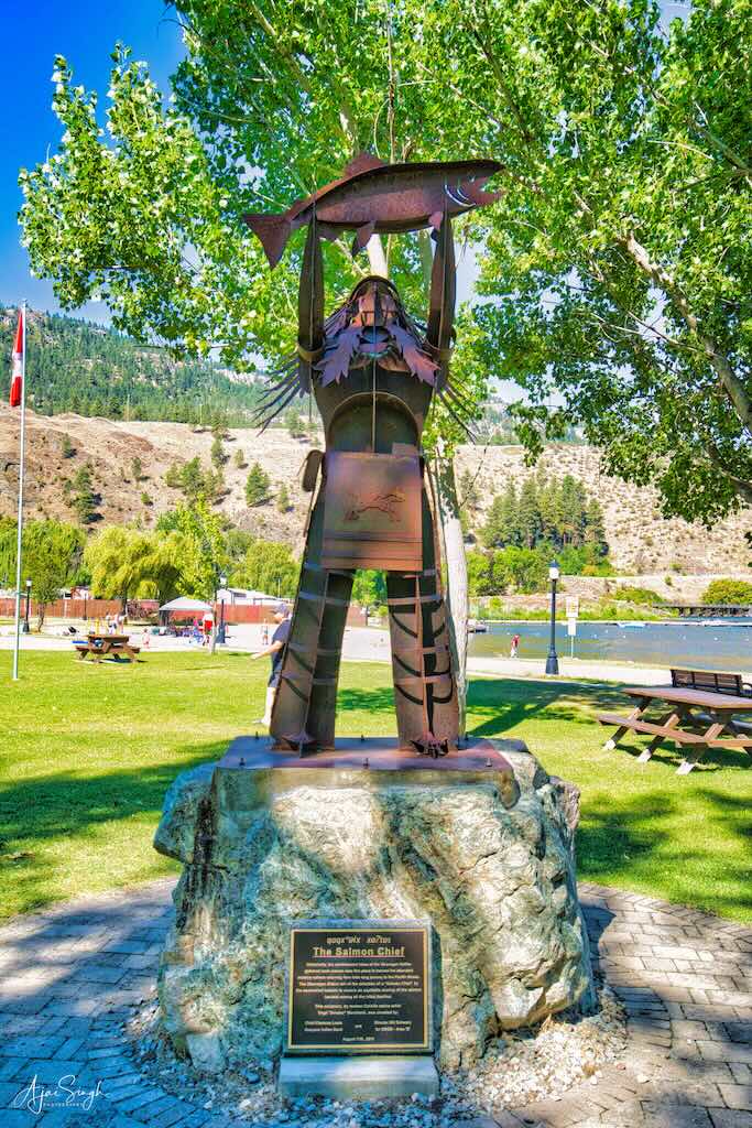
Archaeological evidence suggests that the ancestors of First Nation peoples have lived in British Columbia since the last Ice Age, ten to twelve thousand years ago. Fish were central to the culture of the region’s natives, both as sustenance and as part of their religious beliefs. The installation of dams dramatically altered the landscape and ecosystem of the river. The salmon run is one of Mother Nature’s greatest displays, and it plays out right here in Penticton in the fall. The red Sockeye Salmon returns to the Okanagan River after traveling an extraordinary 1000-km distance through the Columbia River from the Pacific Ocean, to spawn. After spending 2-3 years out in the treacherous oceans before beginning its journey inland upriver. During the runs, the waters supposedly turn red due to the masses of fish swimming upstream.
.
.
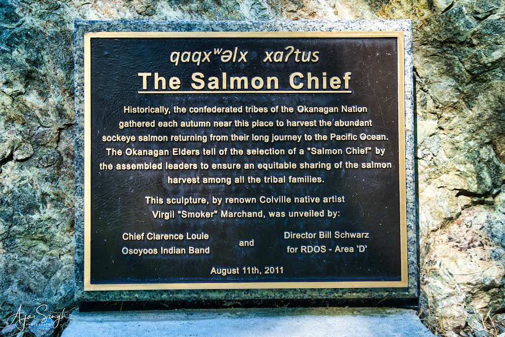
The Red Indian tribes (now known as First Nation) used to gather and celebrate the beginning of each season, praying for a bountiful catch and its equitable distribution between all tribes. This aspect is well captured by the sculpture of “The Salmon Chief” erected near the waterfront of the Christie Memorial Park, situated at the southern end of the Skaha Lake. This narrates the tradition of electing a “Salmon Chief” from the assembled leaders, who would then ensure the equitable sharing of the salmon catch between the tribal families.
.
.
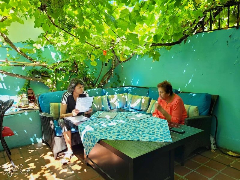
Lunch was eaten at another famous place at Penticton. Theo’s is a highly-rated Greek restaurant, with outdoor seating under a canopy of vines in their courtyard. It was the perfect setting for a meal of delicious Greek dishes after walking around the whole morning.
.
.
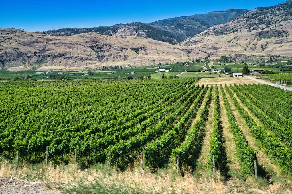
We then continued south to Oliver, which is just a short distance from the US-Canada border. This all was wine country, with slightly undulating river valleys, and semi-arid. Rows on rows of grape vines stretched as far as the eye could see in all directions.
.

.
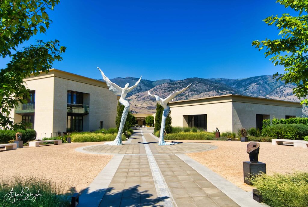
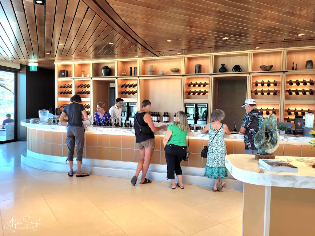
And one after another exotic-named winery signs along the road. We stopped at one of the famous ones, Phantom Creek Estates, for wine tasting.
.

.
The tasting room looked like the reception of a 5-star hotel, and people dressed accordingly. The wine-tasting tour gave us a selection of wines to choose from for tasting. I followed the taster’s recommendation, acknowledging his enquiring look with an appreciative nod, but in reality, trying to guess how the taste and smell of one was different from the previous one! Having gained an insight into the conduct of a wine-tasting ceremony, though not on the finer aspects that made people let out appreciative oohs and aahs while sipping a particular wine, we made our way back to the parking.
.
.
On the way back to Peachland, we stopped at a few wayside stalls selling fresh fruits, vegetables, and bottled items. Many were quite large and well-stocked. Peaches, grapes, oranges, apples, melons, vegetables, and various other products were for sale. Including locally made ice cream using fresh fruits. Most of the stalls were managed by Indian-origin families, predominantly Punjabis. We brought some fruits, to the extent space in the car permitted.
.
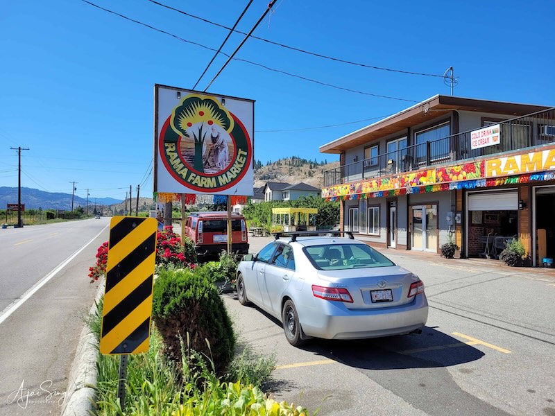
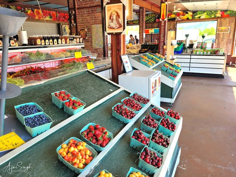
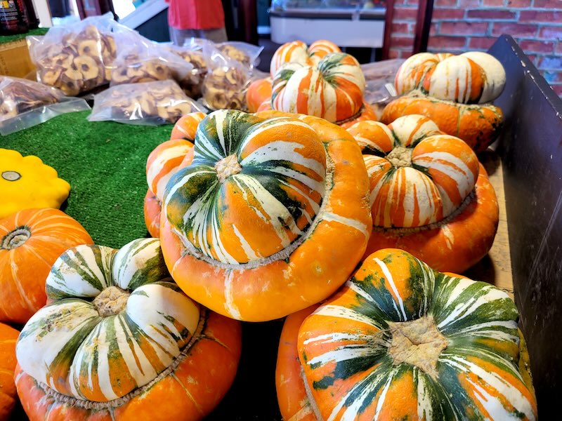
Wayside stalls selling farm-fresh fruits and vegetables
.
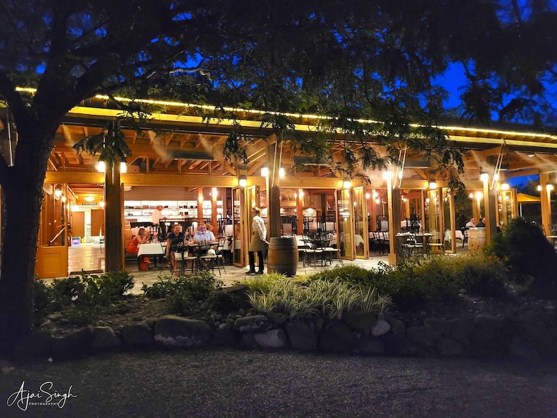
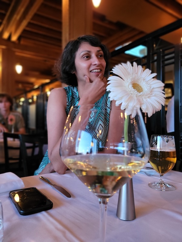
Richa had lined up an exotic dinner for us that day. We drove back to Peachland, and then to the Quail’s Gate Winery, a place renowned for its wines. Spread over vast acreage, with rows upon rows of grape vines grown on gently sloping land extending to the waterfront, it was a beautiful view as the sun set across the lake. The open restaurant was in the midst of the vineyards and provided an excellent view of the surroundings.
.
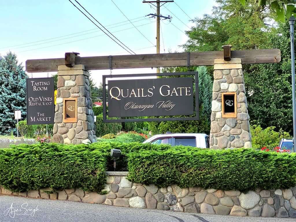
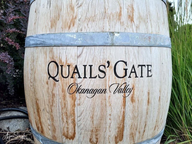
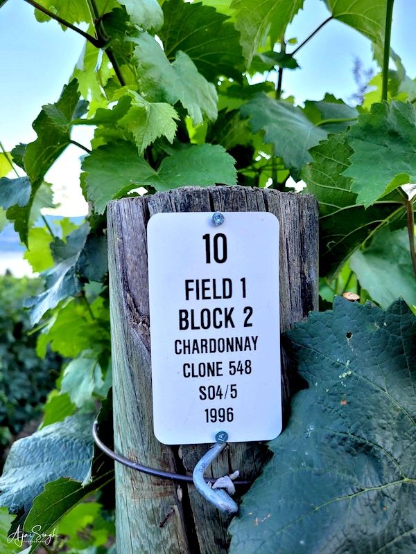
Quail’s Gate Winery

.
Not being a wine connoisseur, I was quite at sea at the explanations given of the taste and aroma of different wines for placing the order. I left it to Richa to understand the nuances and order what she fancied! Not only that, I also learned that even the food has to “match” the chosen wine. I mumbled through the process. However, the wine was exquisite, and so was the accompanying dish. The beautiful ambiance complimented the evening – a memorable experience indeed!
.
.
An interesting innovation I noticed during dinner. Since the restaurant was open, there were insects aplenty from the vineyards. To prevent them from entering the eating area, a series of nozzles along the awning sprayed a fine mist across the open sides and it was quite effective. Except one which got away…and landed inside my wine goblet! The wine was changed promptly – but unfortunately, they made sure the quantity replaced was equivalent to that left in the goblet! So no free lunches, as they say!
.
.
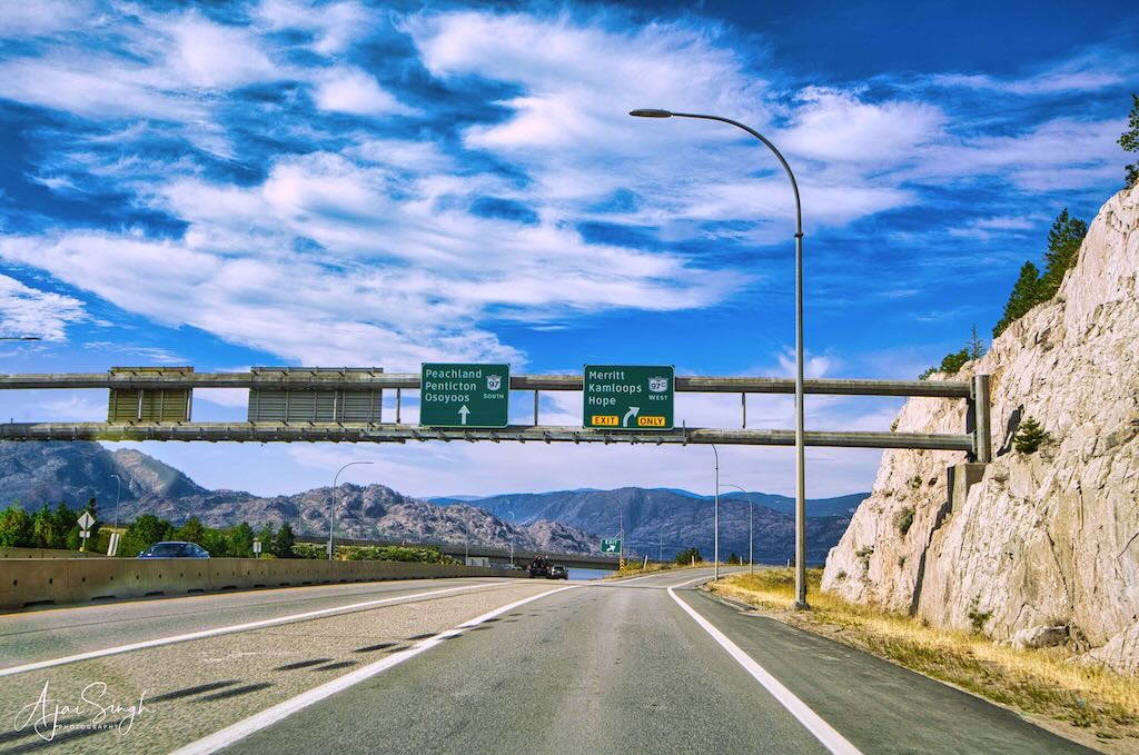
The next morning, we left for the last leg of the onward journey. A short halt at Hope, a small town tucked between high mountains all around, to refresh ourselves, and the next halt was for lunch at Abbotsford, a suburb of Vancouver. While filling petrol at the nearby Costco outlet we spotted an Indian eatery, Dosa Club Indian Kitchen & Bar nearby. It was a large, pleasant place, and the Indian dishes here were also excellent.
.
.
There was still time, as we drove off for the Tsawwassen Ferry Terminal to catch the ferry to Nanaimo. Despite the long distance covered and stops en route, the route planning had been done perfectly and we arrived well in time.
.
.
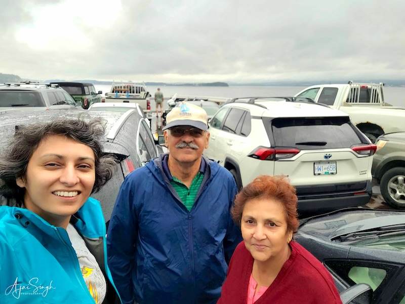
This was the peak holiday season, and all ferries were booked days in advance. We had read a few days earlier that the tourist rush was so heavy that for the first time, even walk-in passengers had been turned back. With foresight, Richa had booked the ferry well in advance. The queue for the cars was long, but being early, we got on the ferry without much waiting.
.
.
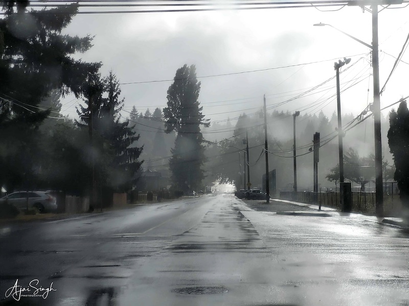
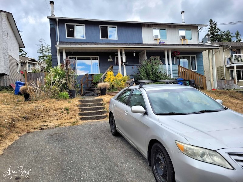
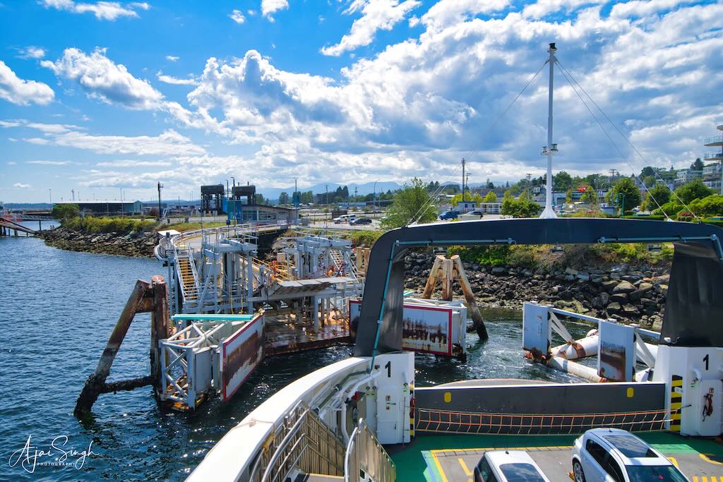
Unfortunately, the day was overcast and windy with occasional light showers. So, we could not enjoy the view from the deck and remained confined to the warm cabins below. A 2-hour ferry ride took us to Nanaimo directly. Nanaimo is not a large city and Mona’s house was not far from the terminal. It started raining towards the later part of the ferry ride and continued in Nanaimo. It was with some relief that we reached home around 7:00 pm.
.
.
We entered the house to the pleasant sound of bhajans being sung, an evening ritual for Mona. We waited for her to finish before we carried the numerous loose items of luggage scattered inside the car and settled down.
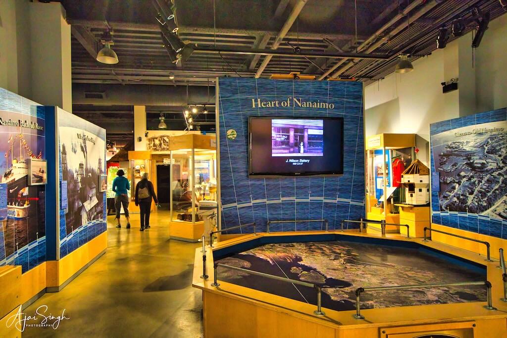
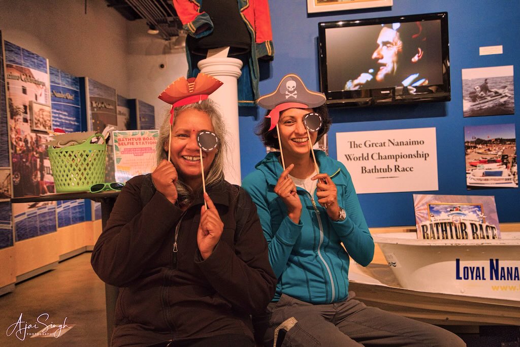
The next day Ranjana took a day off from sightseeing, and Mona took us around some of the city sights. Mona was still suffering from the aftereffects of her car accident but managed to take us around. The first halt was at the Nanaimo Museum. We were in the heart of the First Nation’s territory and though the people had mostly been erased over the centuries, some of their culture had survived, though it remained confined to such museums.
.


.
This was Snunéymuxw country before the white man’s arrival. This tribe occupied a wide region of south-central Vancouver Island, where they had lived for more than 5,000 years. Their language is known as Hul’qumi’num. Nanaimo prospered under the white rule as a coal production center. It is interesting to note that the precontact (1775) population of Snunéymuxw people is believed to have been about 5,000. By 1838 the census figure was 1,000. Following the 1849 discovery of coal in the heart of Snunéymuxw Territory, a fortified post was built and in 1854 the Snunéymuxw became the last tribe to sign the Douglas Treaty essentially gifting away their rights, for a payment of 538 blankets. In 1876 the Indian Reserve Commission cited a Snunéymuxw population of 223. This is the story of indigenous people throughout the world.
.

.
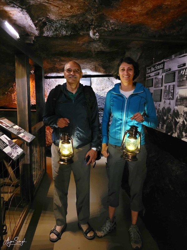
The Museum was well laid out and instructive. Those managing the show were First Nation people and took pains to explain the exhibits and handicrafts on display. The honour of Nanaimo holding the world’s first bathtub race was one of the highlights. The other was the replica of a coal mine, suitably darkened, showing the activities involved in coal extraction. We had to carry lanterns to see the way inside, a nice way to bring realism to the exhibit.
.
.
On the way back we visited the Nanaimo Tourist Centre, which provided us with plenty of information. We were more interested in getting updates on the status of the road conditions to Tofino, which was next on our itinerary. There were major road repairs on this road, which resulted in large traffic disruptions, and it was the only access to the west coast of Vancouver Island. We collected the latest road opening timings, which applied to traffic using that stretch in either direction. That took a load off our minds.
.
.
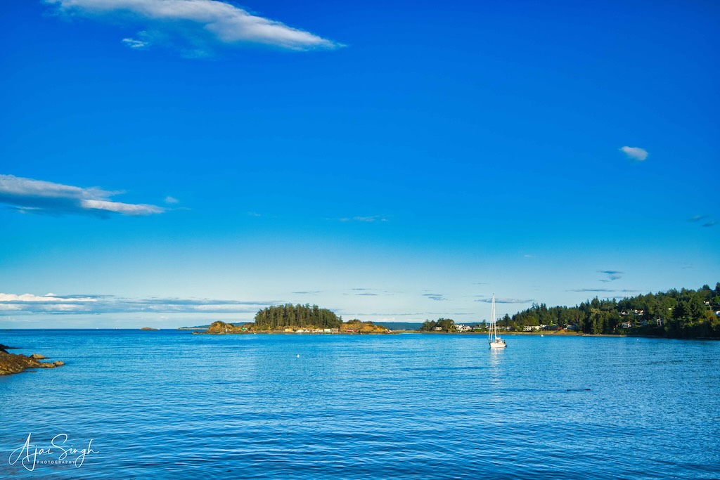
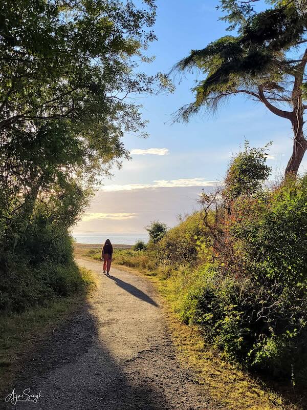
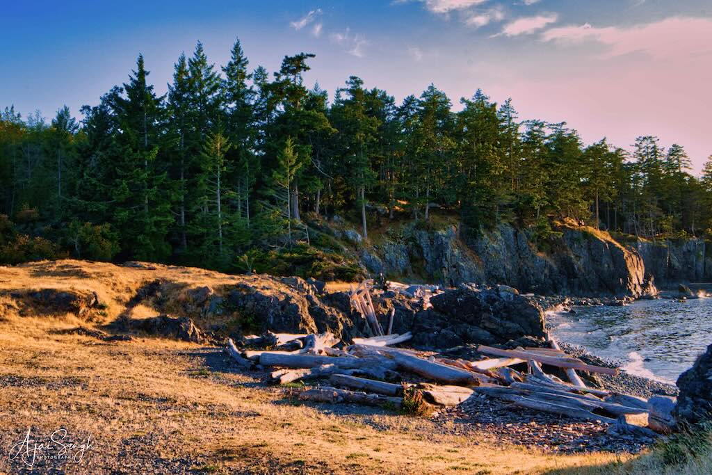
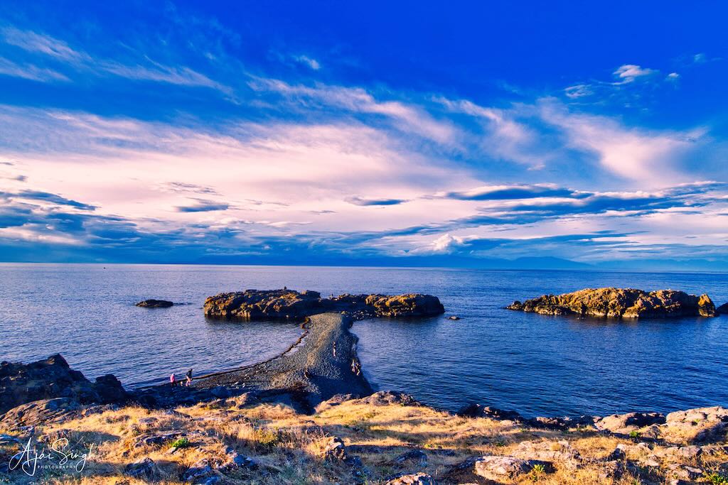
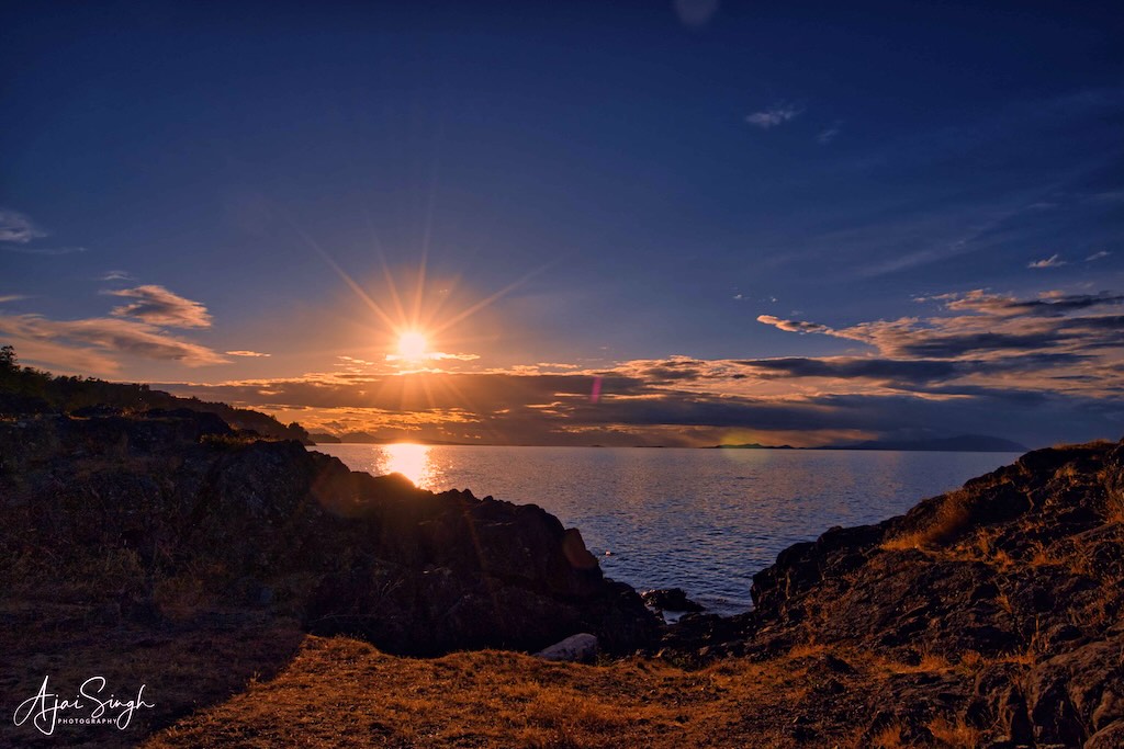
In the late afternoon, Richa and I went across to Neck Point Park and Sunset Beach which are claimed to be the best viewing point for sunsets. The place was a bit of a walk along the beautiful coastline from the car parking. An assortment of tourists had gathered by the time the sun came down. We chose a huge boulder to perch on for a clear view. It had a Ukrainian already on top and he was recording a video by himself, something about the political situation back home.
.
.
It turned out that he was an avid sea watcher and narrated the numerous spots where he had spotted whales from this spot recently! He gave us the reference of a mobile WhatsApp group that reported instances of whale sightings and future predictions. A very active group of whale watchers in the area and it was a surprise to see the numerous whales being sighted in the area regularly. Since we had time to while away, he pointed out the movement of porpoises in the water in the distance.
.
.
The sunset was marred by low clouds on the horizon, a disappointment for those who had trudged to the place. Nevertheless, I could get some pictures of the coastline and the horizon.
The day had been planned with a relaxed schedule for us to unwind after the three-day drive. Soon we had snuggled into our sleeping bags for the night. Richa on the floor in the living room, and myself on the first floor. I sleep on the floor at home, so the arrangement suited me fine.
.
.
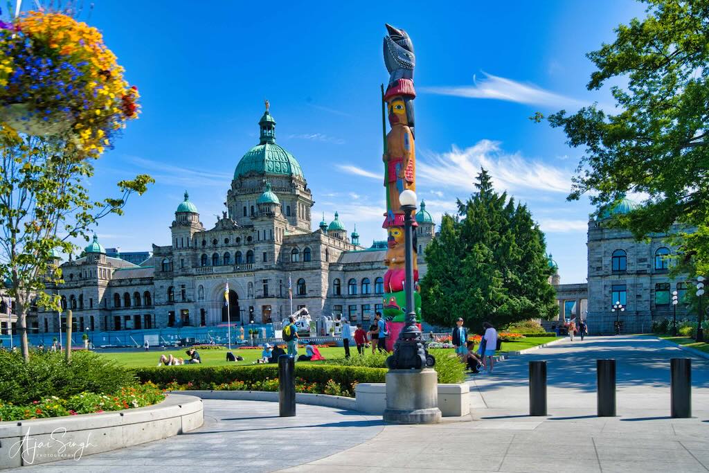
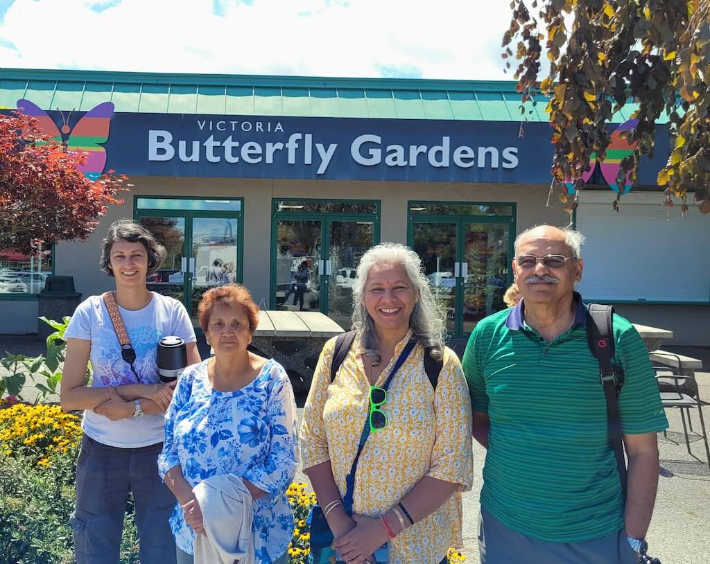
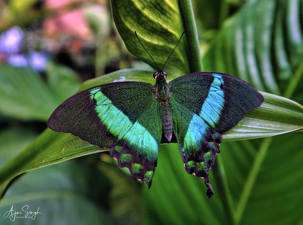
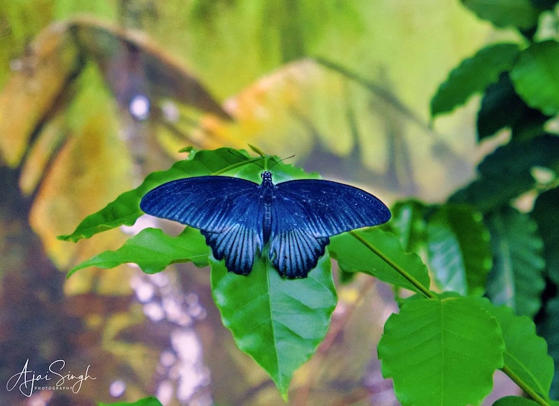
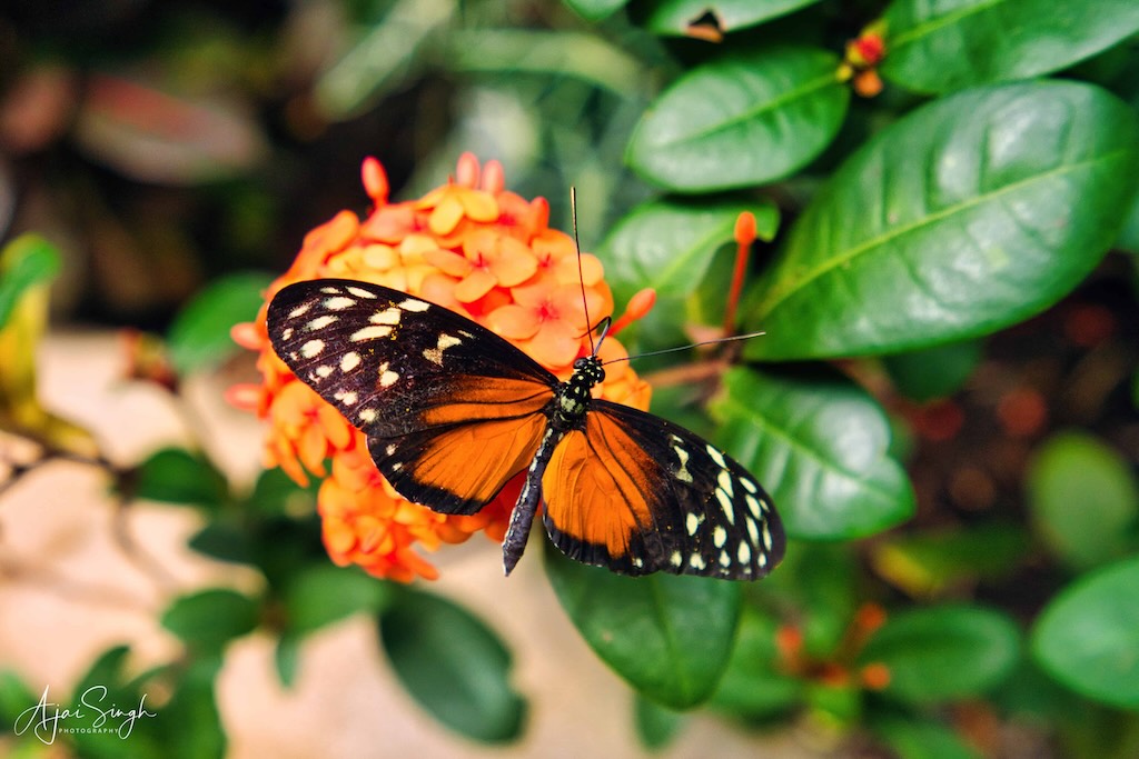
The next day, the 26th of July, was a packed schedule. We headed to Victoria, the capital of British Columbia and the biggest city on the island. It is a major tourist attraction in Canada, and the place was teeming with tourists. We decided to avoid the major sites, most of which we had visited during the earlier trip and where finding parking would be impossible. The Victoria Butterfly Centre was the first stop. A relatively quiet place, it had a large and beautiful collection of butterflies, birds, and flowers in the humidity-controlled enclosure.
.
.
From there we drove to the coastal road and found parking near the Ogden Point Sundial. It was fortunately a sunny day and perfect to walk along the waterfront. By then it was time for lunch, and we spotted a lone restaurant on a promontory and decided to give it a try. The Breakwater Bistro Bar was packed, as expected, but after a short wait, the four of us were accommodated on a large wooden table with a nice sea view. They managed a vegetarian dish despite the commotion, which was lucky for us, while a big mug of chilled beer cooled us down.
.
.
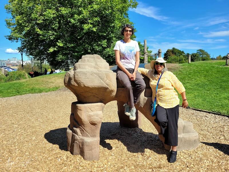
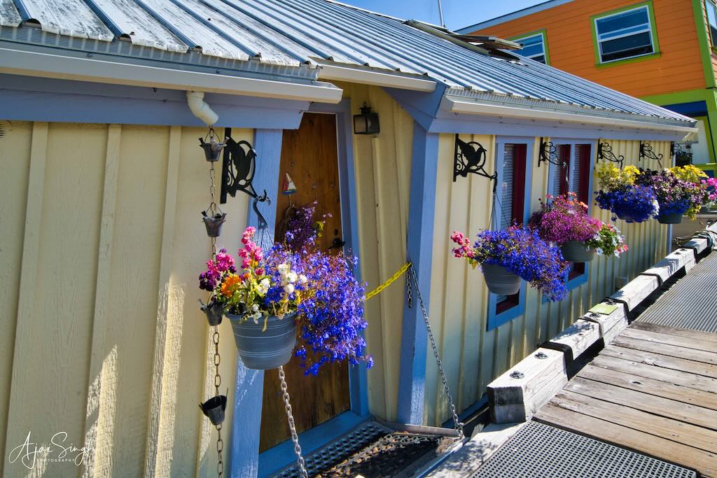
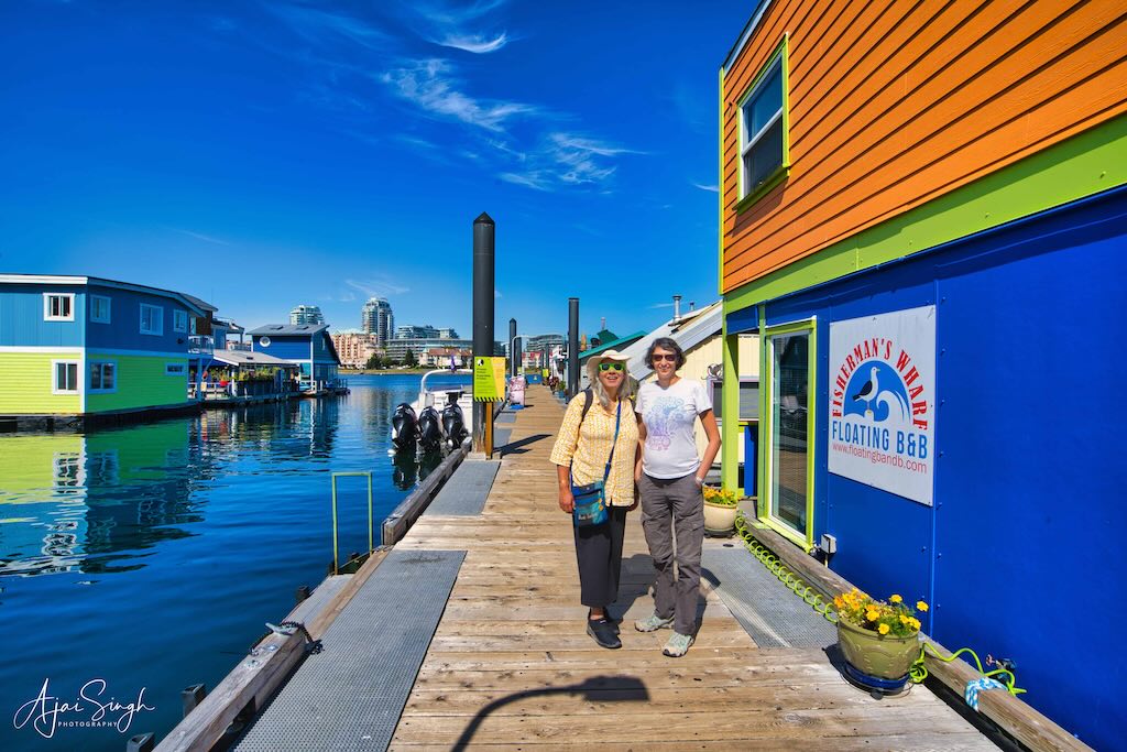
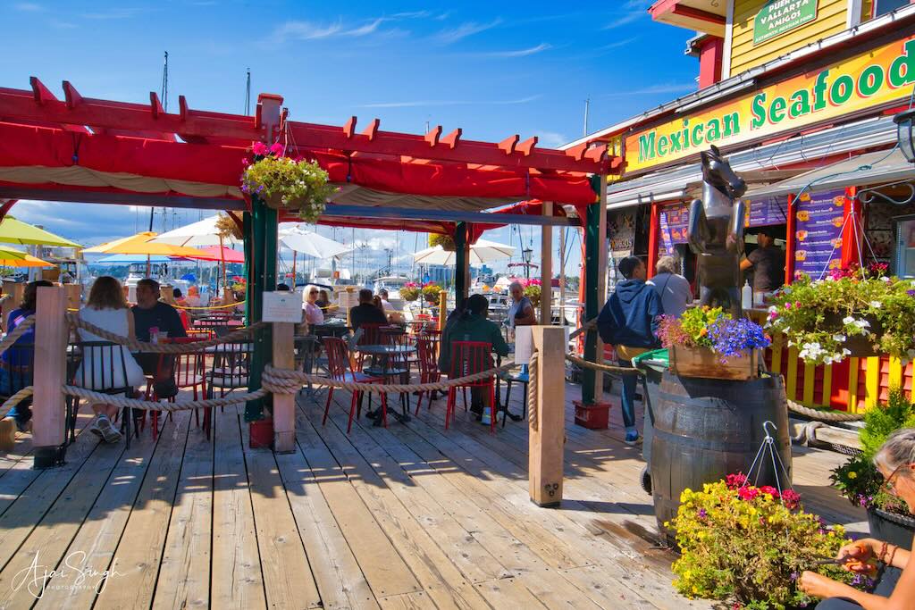
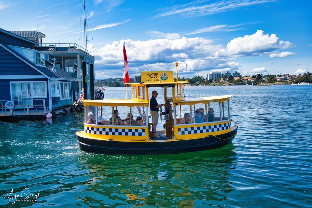
After the sumptuous lunch, we walked down to the famous Fisherman’s Wharf. There was an Adventure Park en route, where Mona and Richa tried to outdo each other in posing with the stone sculptures. Adjacent to the park was the floating wharf, a large area comprising houses and restaurants. Unfortunately, we had eaten a heavy lunch, so we strolled around on the crowded walkways past prettily decorated houses whose windows were overflowing with colourful flowers. Cute oval-shaped water taxis plied between the wharf and the Esquimalt area across the water to the north.
.
.
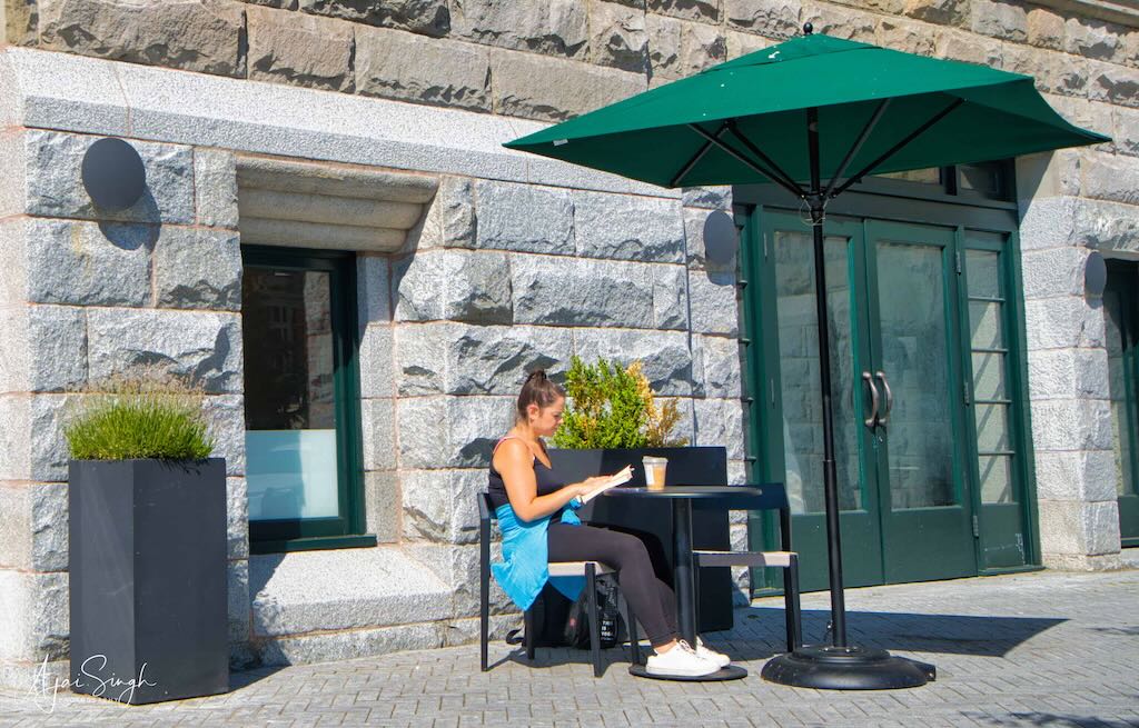
It was impossible to find parking anywhere, so we decided to drive through the city to see the various landmarks. The heavy traffic was crawling on the roads, and we had enough time to savor each building as we slowly crept past them!
.
.
After crawling through the city, we finally exited the place and headed for the next destination. This was a lesser-known heritage wooden bridge deep in the interiors of the forest. The narrow road winding through dense forests was a beautiful drive to the parking for the Kinsol Trestle Bridge. The trestle was a considerable walk from the parking on a path passing through dense forest. There were hardly any other tourists on the stretch, and stories of bear attacks and approaching darkness made us walk briskly. However, once we reached the bridge, the spectacular view of the deep river valley and distant mountains dispelled any misgivings.
.
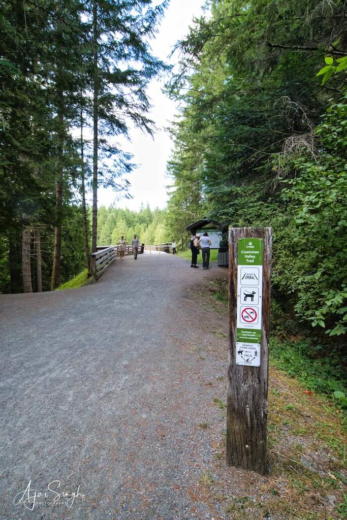
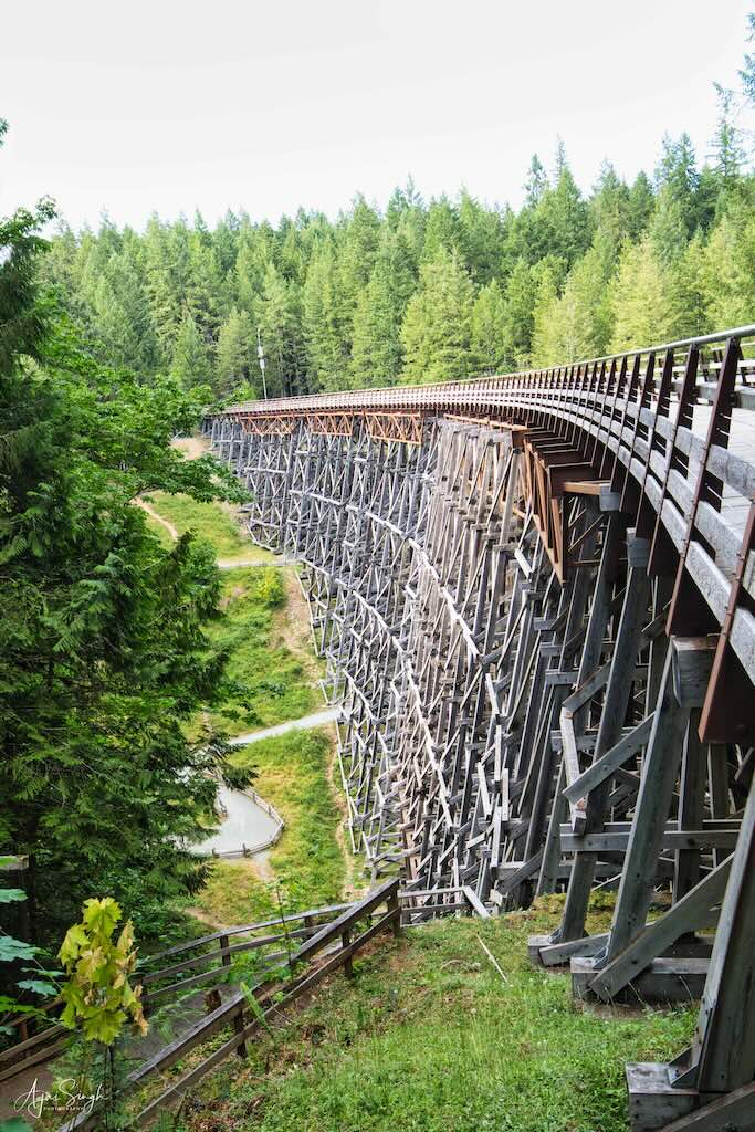
The forested approach to the Kinsol Trestle Bridge; the huge structure
.
It is also known as the Koksilah River Trestle, a wooden railway trestle located north of Shawnigan Lake. It crosses the Koksilah River. It was built as part of a plan to connect Victoria to the north, passing through Cowichan Lake and Port Alberni, as a more efficient way to transport the region’s huge, old-growth timber. Though construction started in 1911, the trestle was only completed by 1920. The last train crossed it in 1979.
.
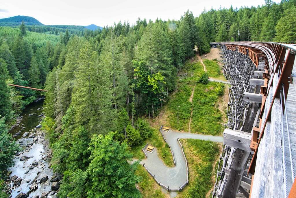
.
The bridge’s dimensions measure 44 m (144 ft) high and 188 m (617 ft) long, making it the largest wooden trestle in the Commonwealth of Nations and one of the highest railway trestles in the world. It was constructed out of old-growth Douglas fir timbers and has an unusual seven-degree curve giving it a very graceful appearance.
.

.
The company which carried out the restoration work itself collapsed due to cost overruns. But it left a legacy as the Kinsol Trestle is one of the few accessible and visible reminders of the early mining and logging industries in the Cowichan Valley. The trestle reopened to the public after the renovations on July 28, 2011. It is now a part of the Trans-Canada Trail and the Vancouver Island Trail.
Ranjana had stayed back in the car on account of the long walk. She had been strictly instructed to lock the doors and not to open them under any circumstances. Cases of miscreants trying to break into parked cars are commonplace and hence preventive measures are necessary. Not forgetting that bears too abounded in these forests.
.
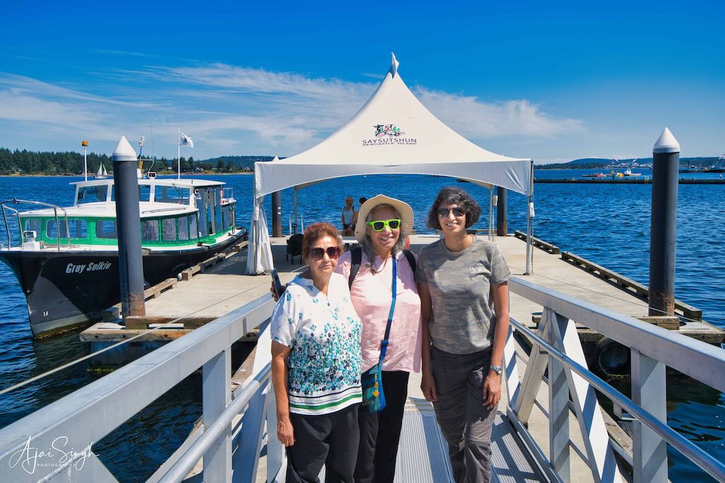
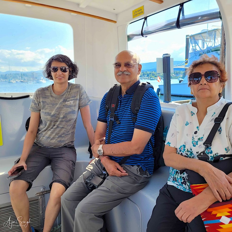
The ferry to Saysutshun Provincial Marine Park (Newcastle Island)
.
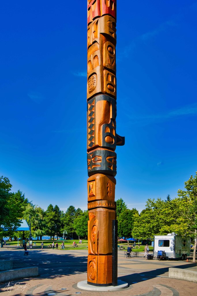
The next day was again a relaxed day. We planned to visit one of the numerous smaller islands off Nanaimo. The closest was Newcastle Island, also known as the Saysutshun Provincial Marine Park. We parked the car at the Maffeo Sutton Park, from where the short 10-minute ferry ride takes one to the island.
.

The Maffeo Sutton Park
.
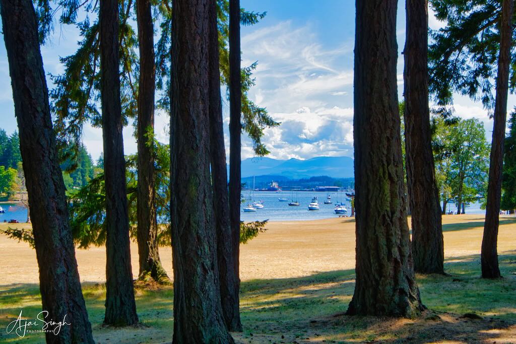
Newcastle is a small island with no permanent inhabitants now, but it has a chequered history. For thousands of years, Saysutshun Island was used by the Coast Salish as a seasonal fishing site. The First Nations used temporary housing there and annually left the island at the end of the season. Ki’et’sa’kun (a Snuneymuxw man) informed the English about coal on the island. They named him Coal Tyee in appreciation!
.
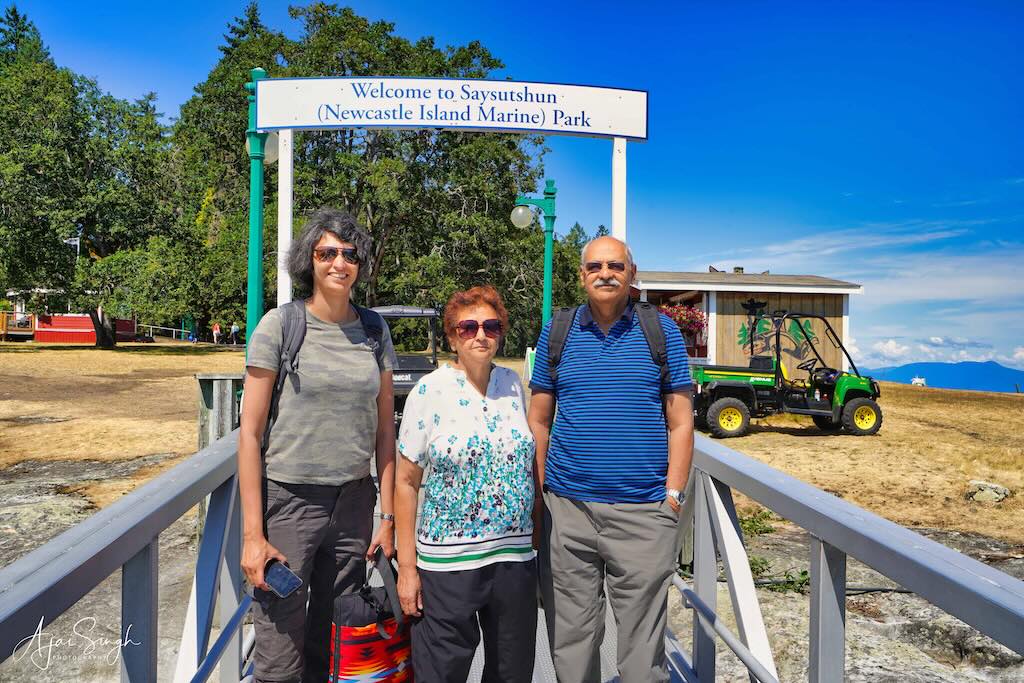
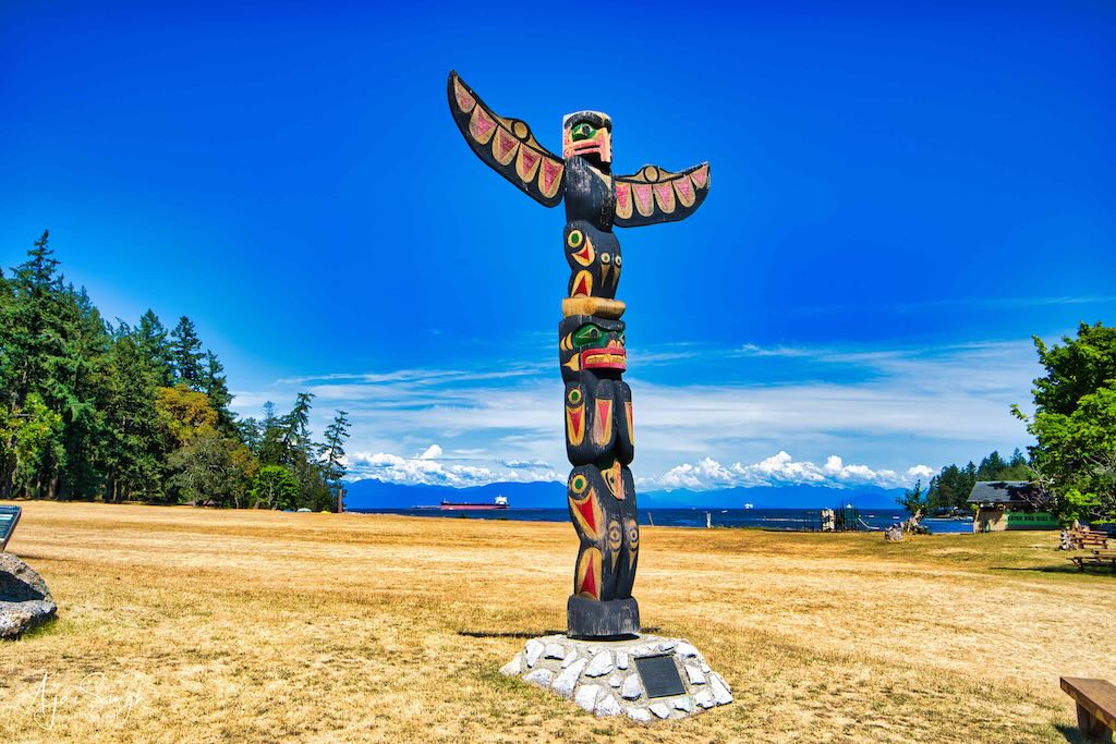
The island with the welcoming totem
.
Coal mining became the primary industry in Nanaimo in the late 19th century. Hence the island was named Newcastle upon Tyne, an English area of coal production. During the mining of coal, the island’s sandstone deposits were found to be of exceptional quality and were then quarried for the construction of buildings in cities not only across Canada but also in other countries.
.
.
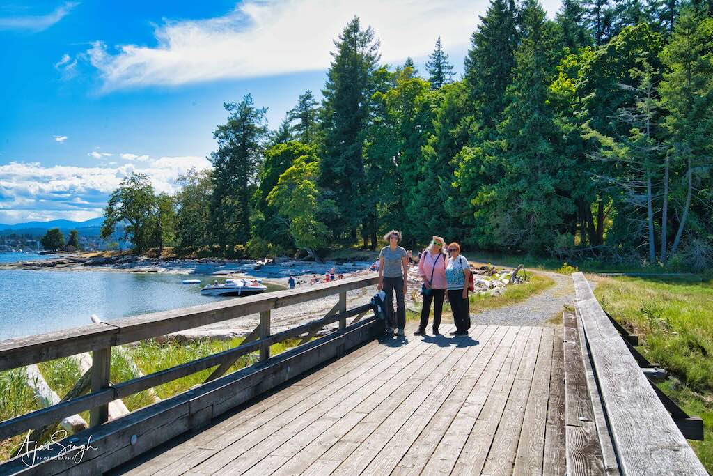
Mallard Lake, near the center of the island, is an artificial lake created to serve as a reservoir. It now is the center of a wildlife sanctuary. Bird-watching is one of the most popular activities on the island, and Mallard Lake is a prime place for that.
.
.
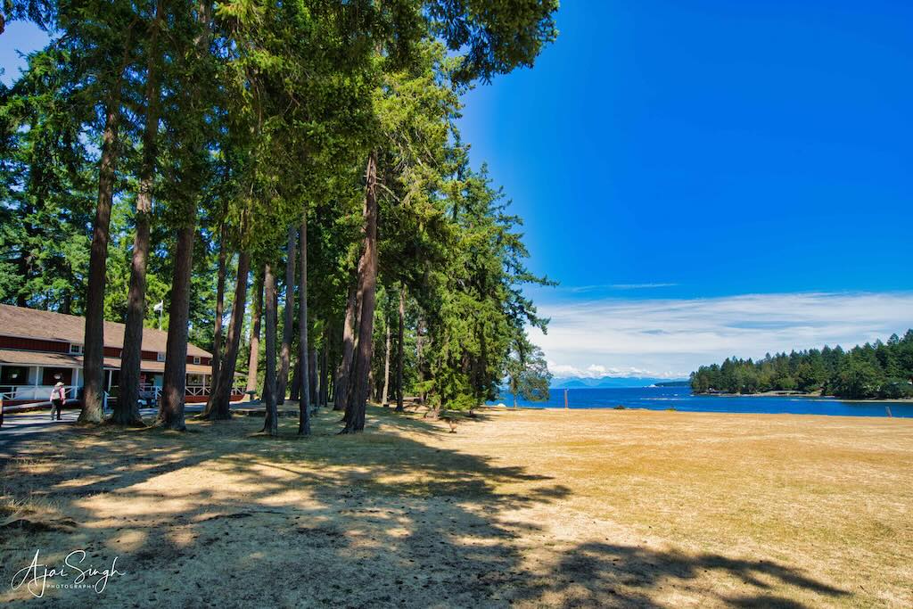
On reaching the island, one is greeted by a large wooden building in the distance among a grove of huge trees. This was a 1930s restored dance pavilion now mainly empty, except for a small eatery serving tea, coffee, and snacks. Tourists can also experience Snuneymuxw’s culturally rich history, hearing the sacred stories directly from Knowledge Keepers here. Saysutshun has been a spiritual place for the Snuneymuxw for countless generations.
.
.
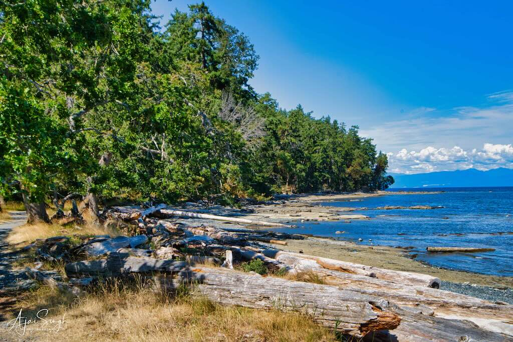
Many walking and cycling trails crisscross the island and we took the one running along the eastern coastline. The rocky beaches lined with driftwood provide a lovely setting for hikers and those keen to swim in the waters. Though Richa was keen, the water seemed cold and hence we postponed our dip for another day.
.
.
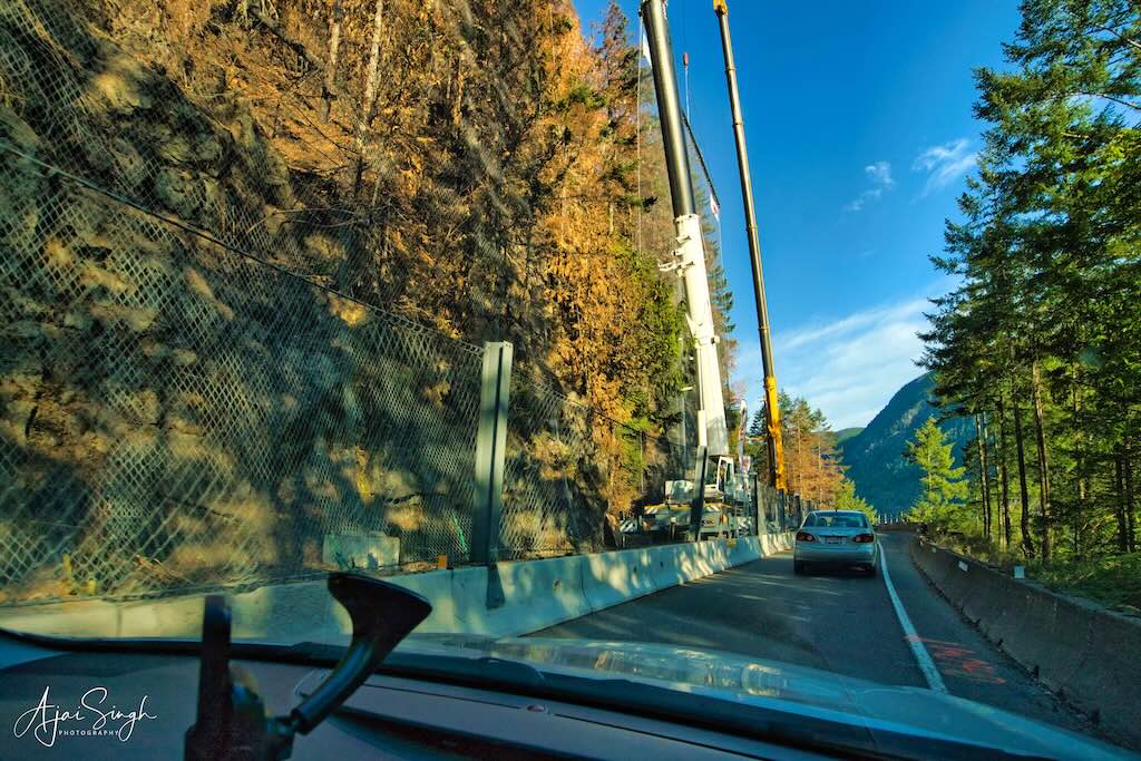
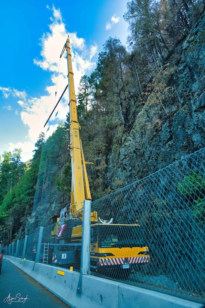
The next morning we had an early departure to make it for the first available time slot to cross the road repair site near Lake Cameron on Highway 4 towards Tofino. The road widening work was a major project, and as with construction projects in Canada, could only be carried out during the limited summer months. The road traffic was well-regulated, and disciplined, and despite long queues of holidaymakers, the entire exercise went off smoothly, with only a bit of a wait in the beginning. It had been a major cause for concern in our planning, as the only other access was a much longer, dusty track, which would have been much more taxing for both us and the car.
.
.
However, due to the repair work, we missed visiting the famous Cathedral Grove, home to the giant Douglas fir old-growth forests. This was closed due to the repairs. Some trees here are over 800 years old. The road passed the fringes of the park and we could glimpse these giant trees soaring into the sky.
.
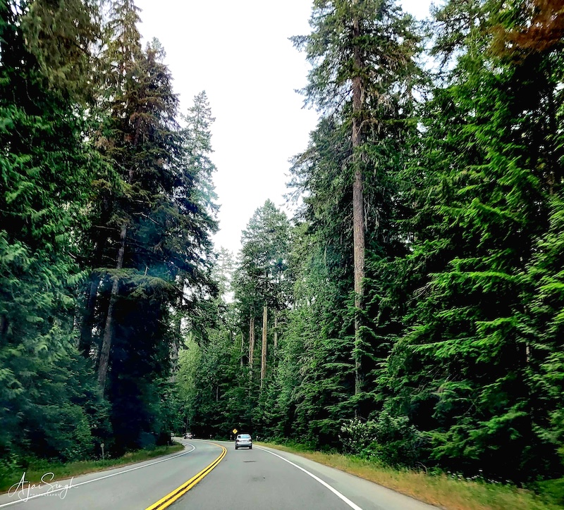
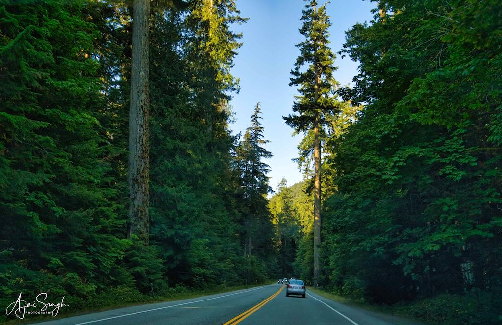
Giant old-growth Douglas fir trees soar into the skies!
.
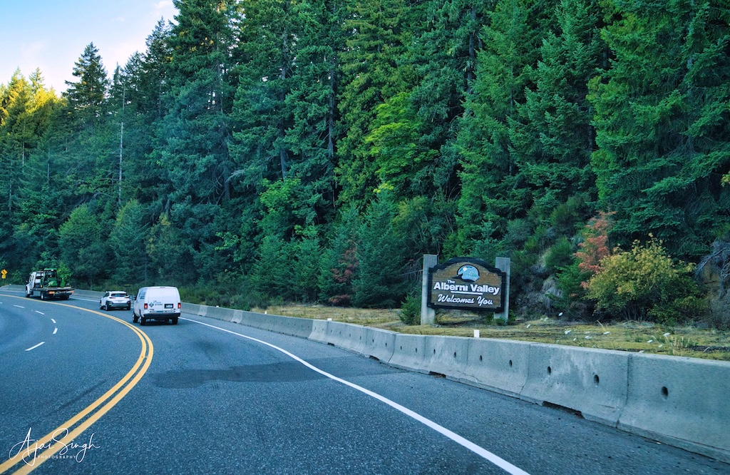
We crossed Port Alberni soon after. The town provided direct access to the Pacific Ocean and was full of boats and trawlers tied up alongside jetties and buoys. It did look like a port, as its name signified, rather than a town well inland.
.
.
The road we were travelling on passed through dense forests, and often alongside large lakes with mountains all around. Very picturesque and beautiful, and without much traffic. This made for a reasonably relaxed and comfortable drive. The large Sproat Lake came alongside soon after Port Alberni and the road ran alongside it for a considerable distance, keeping us engrossed with the beautiful landscape whizzing past.
.
.
The last big lake we drove by was Kennedy Lake before we reached the road junction where it bifurcated for Tofino northwards, and Ucluelet southwards. At the tri-junction was located the Pacific Rim Visitor Centre. A relatively big complex, it appeared to be the favorite halt for all drivers, more so to refresh themselves after the long drive. The staff was very helpful and soon we were provided with an overload of information on places to see and sheaves of maps and brochures describing those places.
.
.
Our night stay was at Ucluelet, and we planned to visit Tofino during the day before going there. The road to Tofino ran along the Pacific coastline, though the water was only visible at places due to the forest on both sides of the road. Nearly a third of the distance to Tofino was Long Beach (it was long!), where we decided to stop later.
.
.
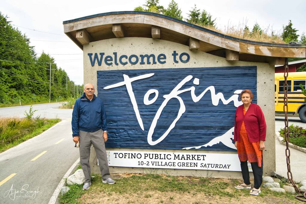
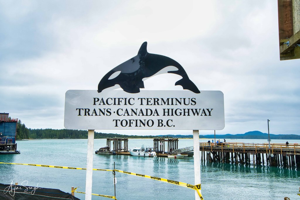
Around 10:00 am we reached Tofino, a small town on the Pacific coast and the end of the Pacific Rim Highway. We drove up to that point, to record having reached the end of the road!
.
.
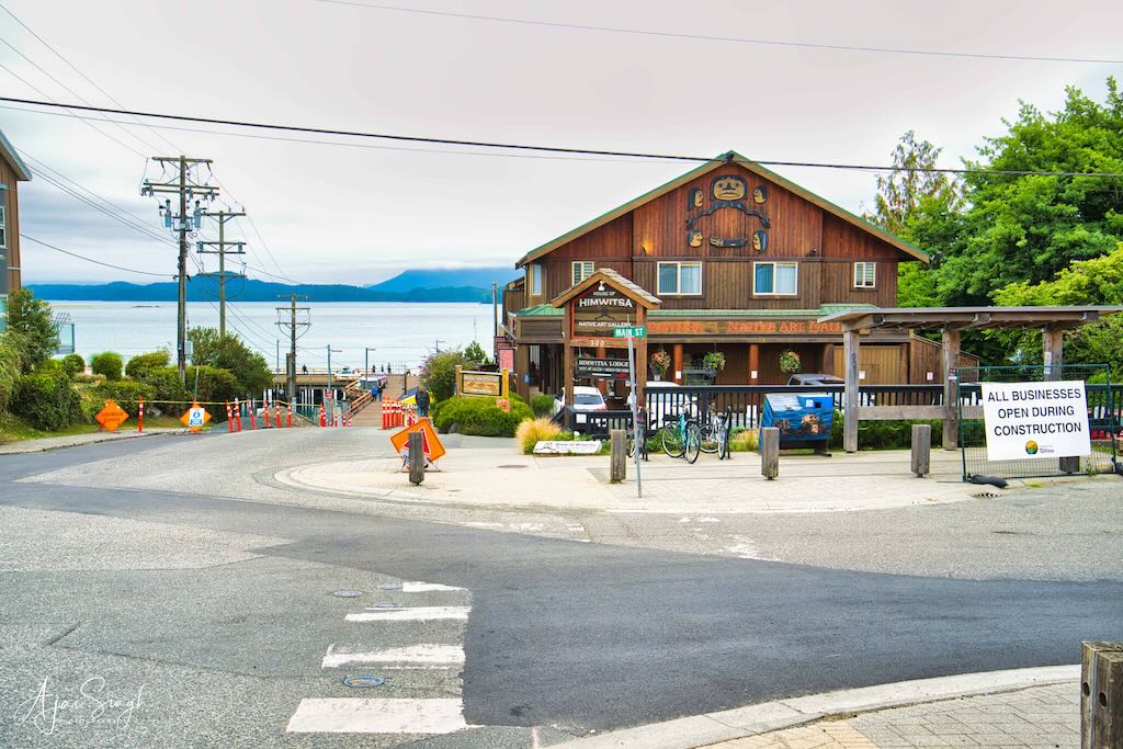
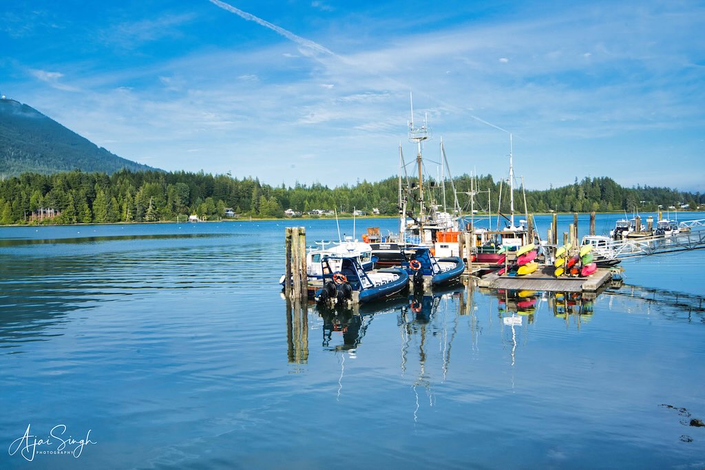
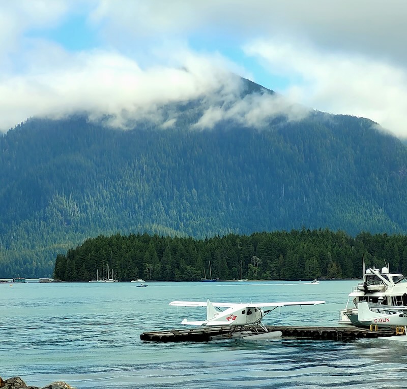
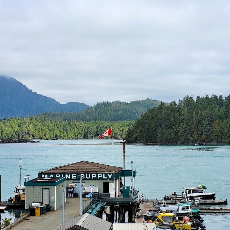
The northern part of the town was the waterfront with many jetties and landings for all types of craft, including seaplanes. Only a few buildings had a second storey, and most of them looked quite old. Shops for local trinkets and souvenirs abounded. This was First Nation territory and their artefacts and paintings were on display in most places. We strolled through the streets and took time to admire some of the First Nation handiwork.
.
.
For breakfast, we were directed to the best bakery in town – the Savary Island Pie Company. The approach was a bit of a puzzle since the track wound between old shacks, down to the waterline. Its famous pies were as delicious as claimed, straight from the oven. By the time our order arrived, we were already drooling from the aroma inside the café. That breakfast fortified us to take on the rest of the day and we trudged off to tick off the places mentioned in the map the tourist centre had given.
.
.
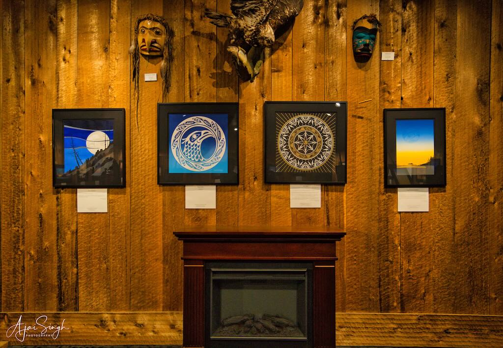
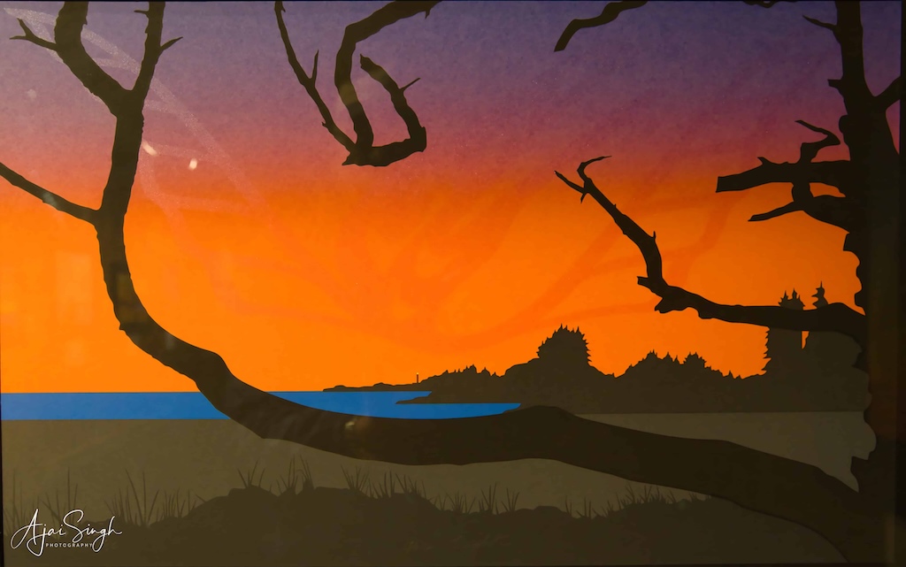
The best place we visited was the Roy Henry Vickers Gallery, displaying art made by this acclaimed First Nation artist. The gallery was built in 1986 and in many of his works, Roy uses superimposed ‘shadow images’ that add another layer of depth, history, and myth to his clear, clean images.
.
.
His boldly colourful sunsets, subdued misty rivers and peaceful winter scenes reflect the essence of the west coast of Canada and attract over 500,000 visitors annually to his gallery. The colourful paintings were irresistible and unaffordable! So we chose the next best option – we purchased some of the reproductions. The three-painting set now finds pride of place in my home. As does the one bought by Richa in her home.
.
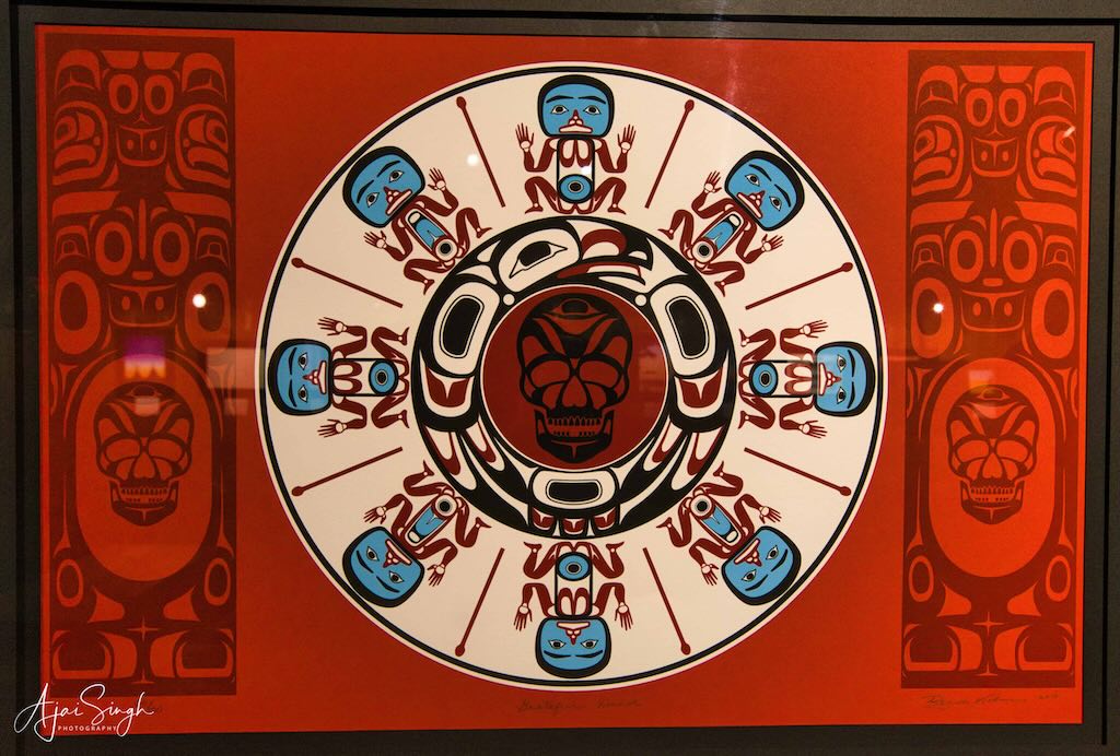
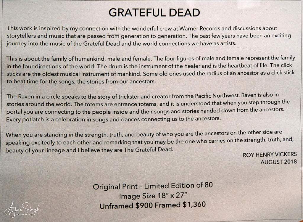
First Nation art and the meaning behind the figures/symbols
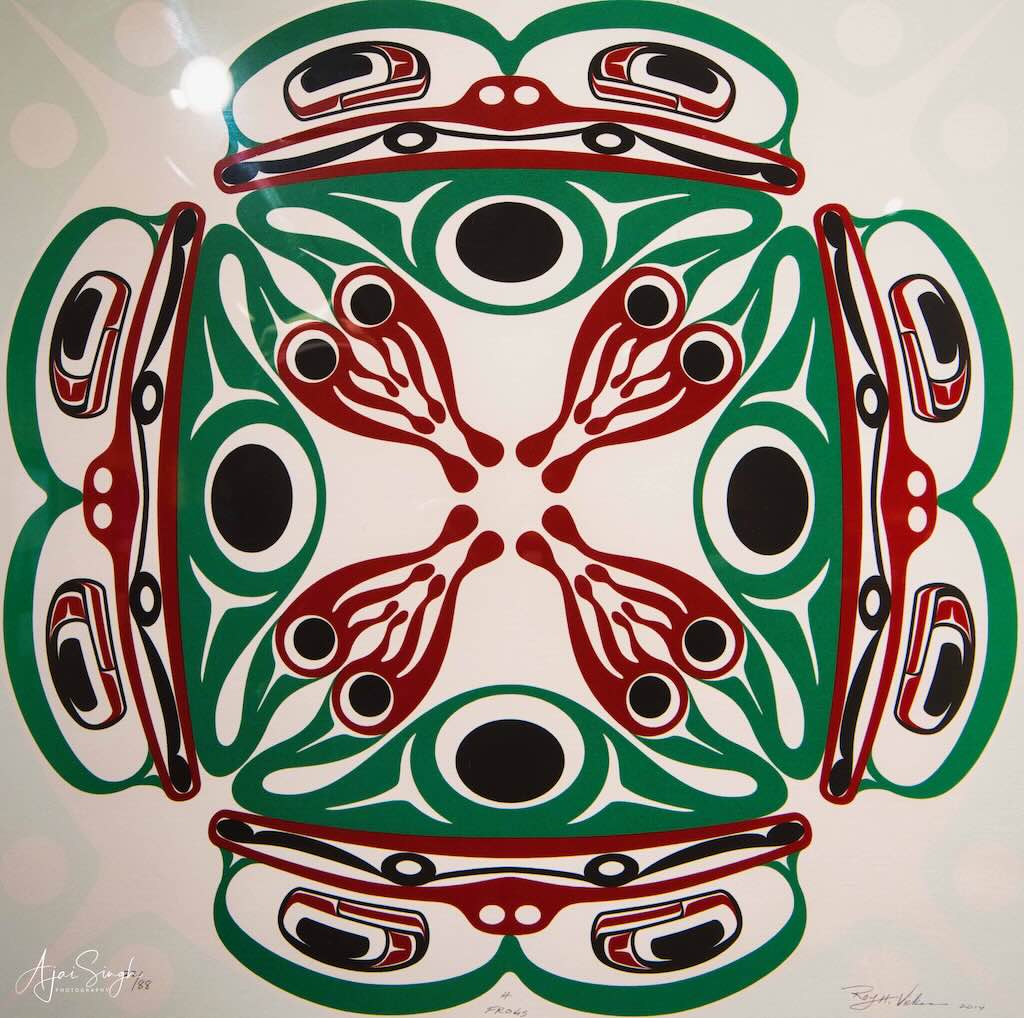
Four Frogs

.
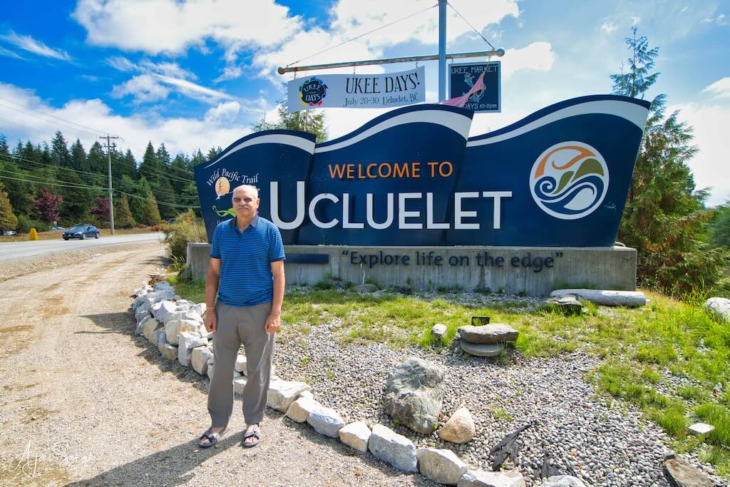
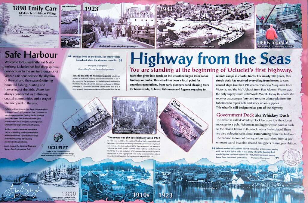
The next destination was Ucluelet, a small fishing village.
.
.
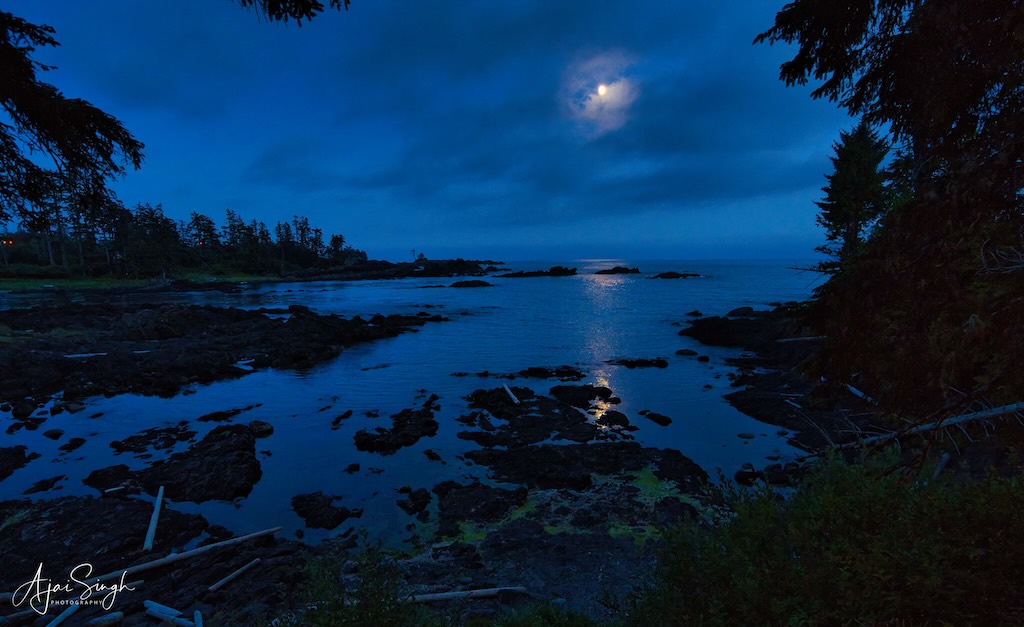
The resort Richa had booked was beautifully located, on the waterfront. And appropriately named Black Rock Oceanfront Resort. It was a large property and our suite was a row of cottages on the water’s edge. We checked in and unwound after a hectic day.
.
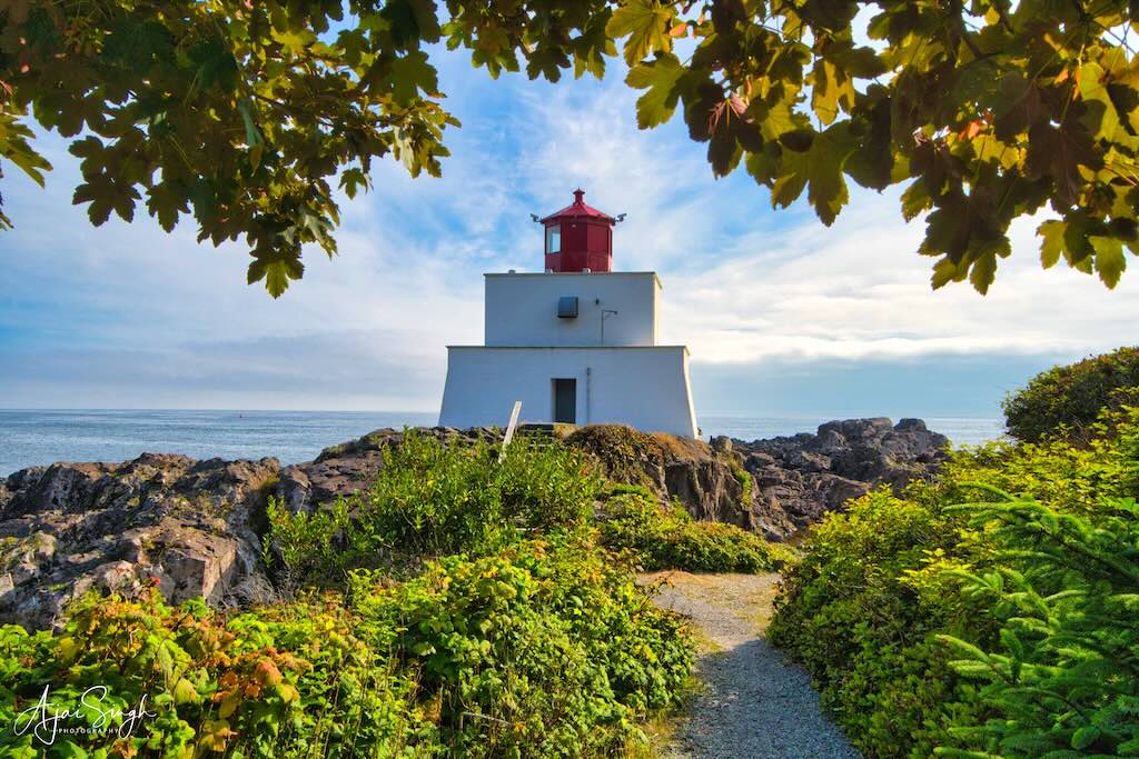
There were only a few places to see here and we drove down to the most popular one – the Amphitrite Point Lighthouse, a short distance from the resort. It is an active lighthouse named after Amphitrite, the sea goddess, and wife of Poseidon in Greek mythology. Parking is at the end of Coast Guard Road and from there, it is a 2–3 minute walk to the lighthouse. The lighthouse tower is closed to the public but the grounds are open as part of the Lighthouse Loop section of the Wild Pacific Trail.
.
.
The lighthouse has a historic past, the original one being built in 1906. Amphitrite Point is exposed to frequent gale-force winds and tidal waves. The current lighthouse (built in 1915) derives its peculiar fortress-shape and construction from being designed to withstand ferocious westerly storms coming off the Pacific Ocean which can produce waves up to 50 feet in height.
.
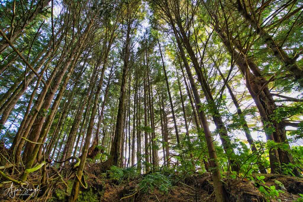
.
A unique feature of this place is the plaintive sound one hears in the vicinity of the lighthouse. It is emitted from the nearby Whistle Buoy and produces sound due to the air pressure created by the wave action. The sound volume increases with bigger waves in rough seas, warning ships in the vicinity.
.
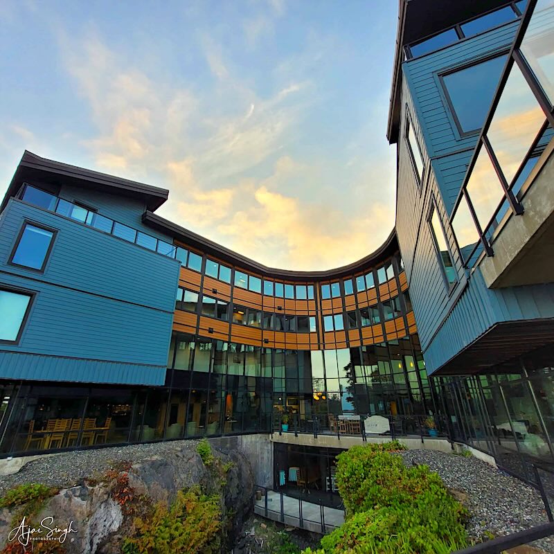
.
The Wild Pacific Trail passes by the side of the lighthouse and continues along the rocky coastline, and it provided a pleasant walkthrough on the trail as we explored for a short distance along the coast ahead of the lighthouse.
.
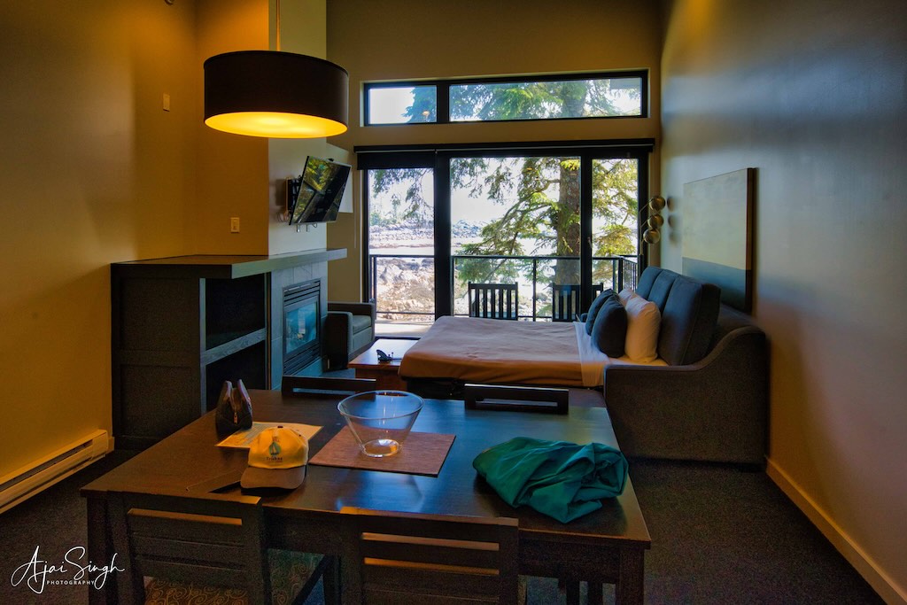
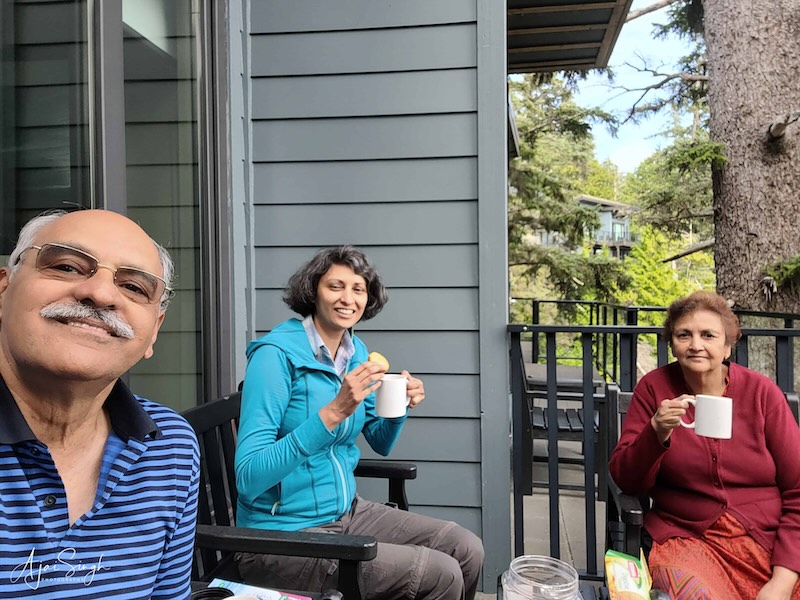
The view from the room – enjoying a cup of tea on the balcony
.
Back in our room, we decided to have dinner in the resort itself at their Big Beach Lounge, instead of going into town. The dining area was glass-fronted with a beautiful view of the ocean. The initial experience was disappointing as the waiter assigned to our table kept ignoring us deliberately, displaying a racist attitude. Till Richa called him out, after which the service got better. The evening went off pleasantly thereafter.
.
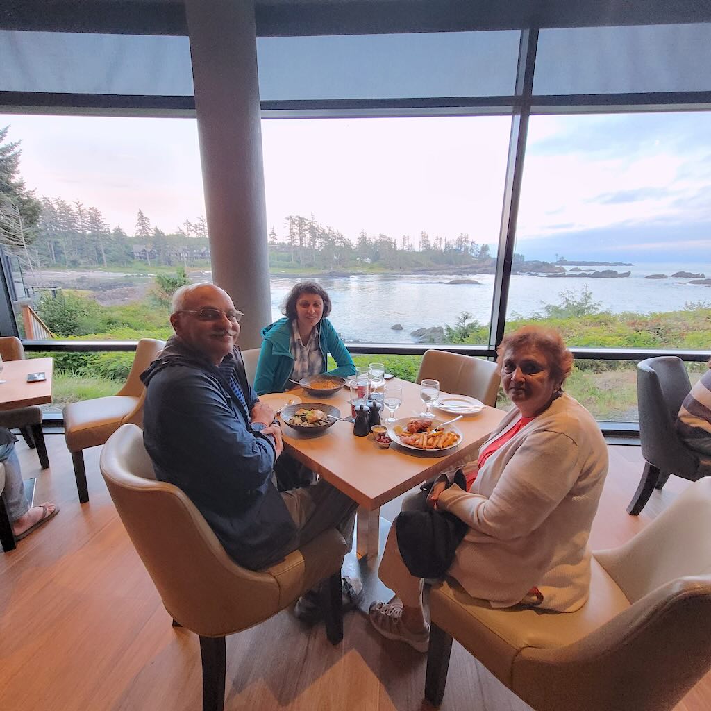
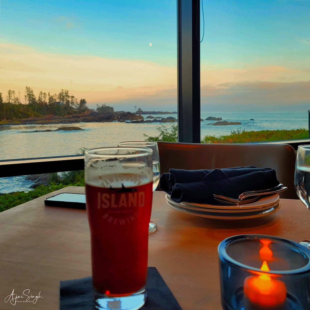
Birthday celebrations!
.
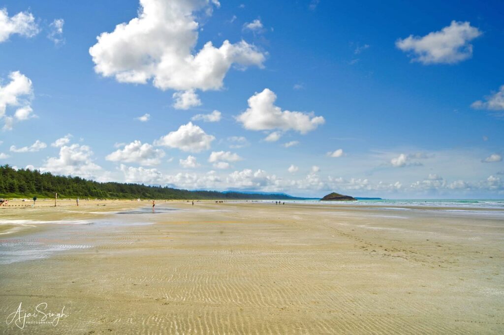
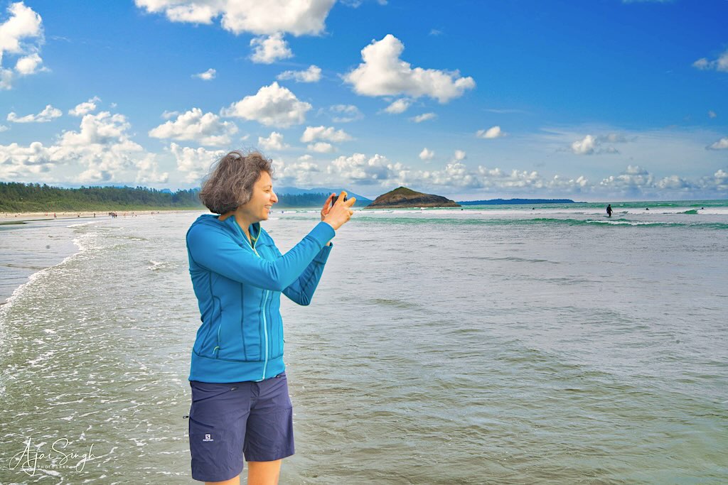
The next day was again going to be a long one. We first headed back towards Tofino to spend some time at Long Beach. Finding an empty parking slot was the first hurdle and it was only after driving around a few times that we could catch a car reversing and grab the vacant slot. It turned out to be one of the best beaches I have visited. Extending as far as the eye could see in either direction, it was gently sloping and since the tide was low, the sand extended far out with small waves splashing the bathers enjoying the experience. It was overcast and a slight breeze was blowing, making it chilly, but Richa had made up her mind to take a dip in the Pacific Ocean, and so we ventured out. I followed her till it was comfortable with my camera!
.
.
The vast expanse of the beach made the crowd seem insignificant. One was left by themselves to enjoy the cold waters of the ocean. Many bathers and surfers were suited in wet suits, which was the prudent thing to do. We stuck around till the cold started seeping into our bones, then made the trek back to the parking lot. Changing into dry clothes in the privacy of an open car door, we were off without further delay as we had a long way to go to Nanaimo and also to be on time for the one-way slot where the road repairs were ongoing.
.

.
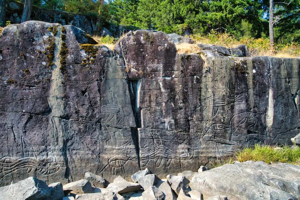
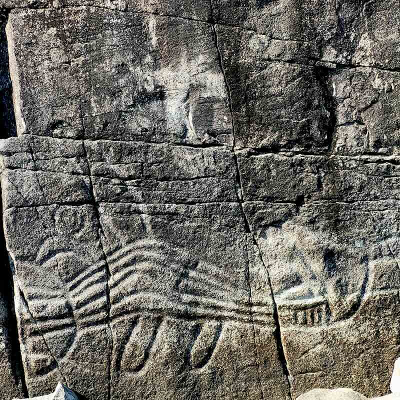
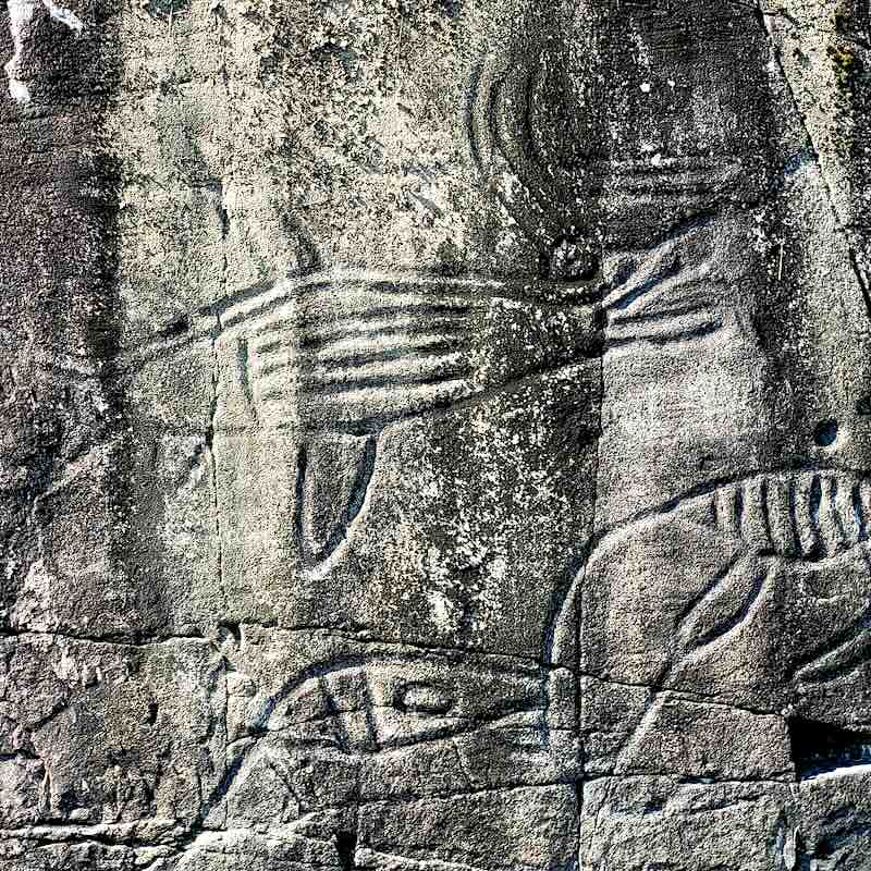
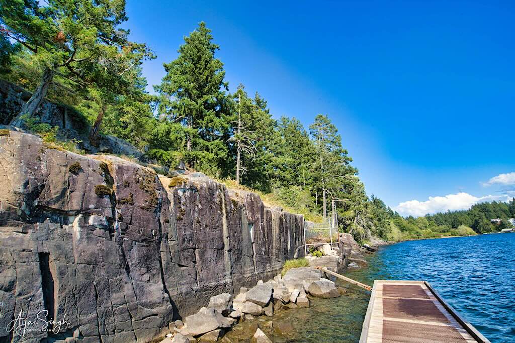
A short distance before Port Alberni, we halted at Sproat Lake to see the famous petroglyphs. They consist of a panel of petroglyphs called “K’ak’awin” on lakeshore rocks depicting mythological figures. Though little is known of the origin of the prehistoric images, the area has been traditionally occupied by the Hupacasath First Nation.
.

.
The Sproat Lake Provincial Park is a large area popular for swimming, boating, and water sports. It was crowded on a sunny day with families enjoying the outdoors.
.
.
This archaeological site has nine ancient rock carvings, one of the finest in British Columbia. The art depicted are mainly sea creatures, like a mythical sea serpent, killer whales, and a mythical creature that is part whale-part wolf.
.
.
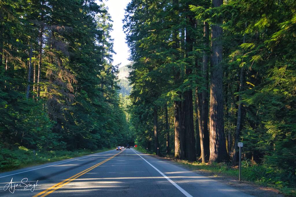
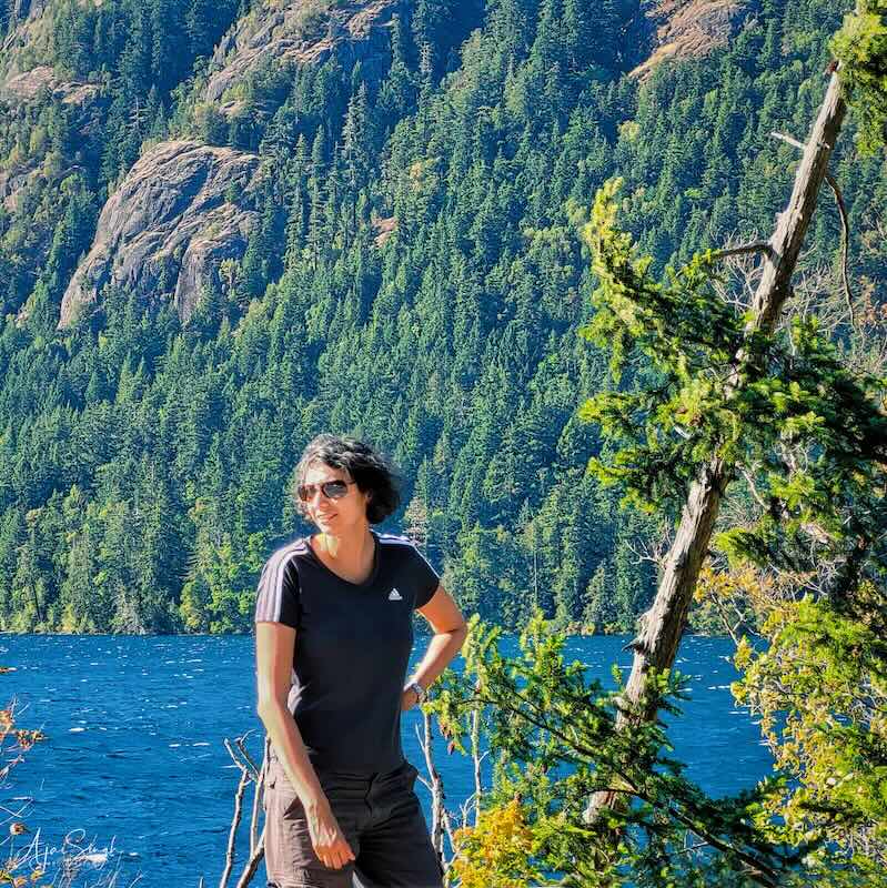
The wait this time to cross the road construction site was a bit longer but passed off smoothly. We were stopped by the side of Cameron Lake and the beautiful surroundings on a windy, though sunny day let us enjoy the halt. Once we crossed the bottleneck, it was a straight drive to Nanaimo.
.
.
The undulating road through forests is always a pleasure to drive on and this time it was no different. It was not long before we reached our destination. The short outing to the Pacific rim was a different experience, with new sights of the remote regions of Canada. And it got me thinking of how the indigenous people had lived and sustained themselves in such harsh conditions for thousands of years with hardly any amenities. Unfortunately, one can now see their culture only in museums and artworks.
On the return journey, the car gave us some anxious moments. While braking, occasionally there was a sound heard from the rear. We decided to get it checked when we reached Nanaimo.
.
.
The next day Ranjana took off from sightseeing. Richa and I took off to see Gabriola Island, one of the bigger inhabited islands nearby. The island is big, about 60 sq. km, and has a small resident population. The public transport on the island was minimal, and we were advised to take the car to be able to see the place. The car ferry took about 30 minutes. The island is famous for its beaches and for the many artists who live there. Gabriola is part of the traditional territory of the Snunéymux (of whose name the nearby city of Nanaimo was given an anglicized form). The earliest archaeological record on Gabriola is a cave burial dated to about 1500 BC. The first Europeans to visit the island were the Spanish.
.
.
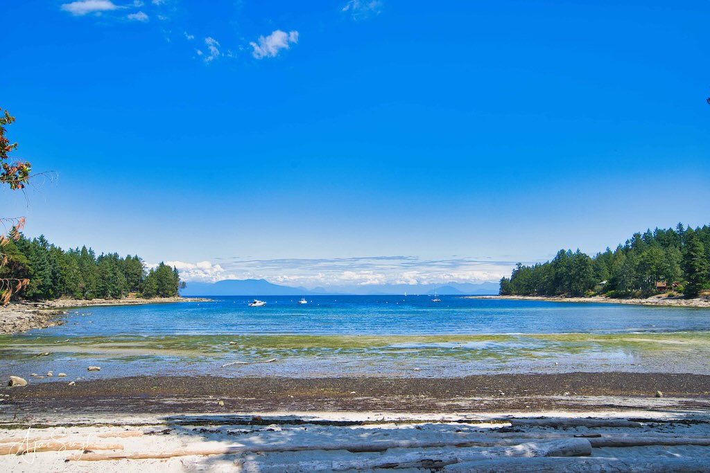
Finding a suitable beach to take a dip in the water was high on our agenda. The first place we scouted around were beaches in Gabriola Sands Provincial Park. Though the surroundings were beautiful, the water appeared greenish, and we hastily beat a retreat. We then tried the locations on the open seaside towards the Northeast of the island. The Whalebone Beach sounded promising and we headed for it. The road ended a distance before the waterline, so it was a walk on a small rocky track to reach the beach. It turned out to be a pebbly one, with a few families already there. The mainland along Vancouver was visible on the horizon in the far distance.
.
.
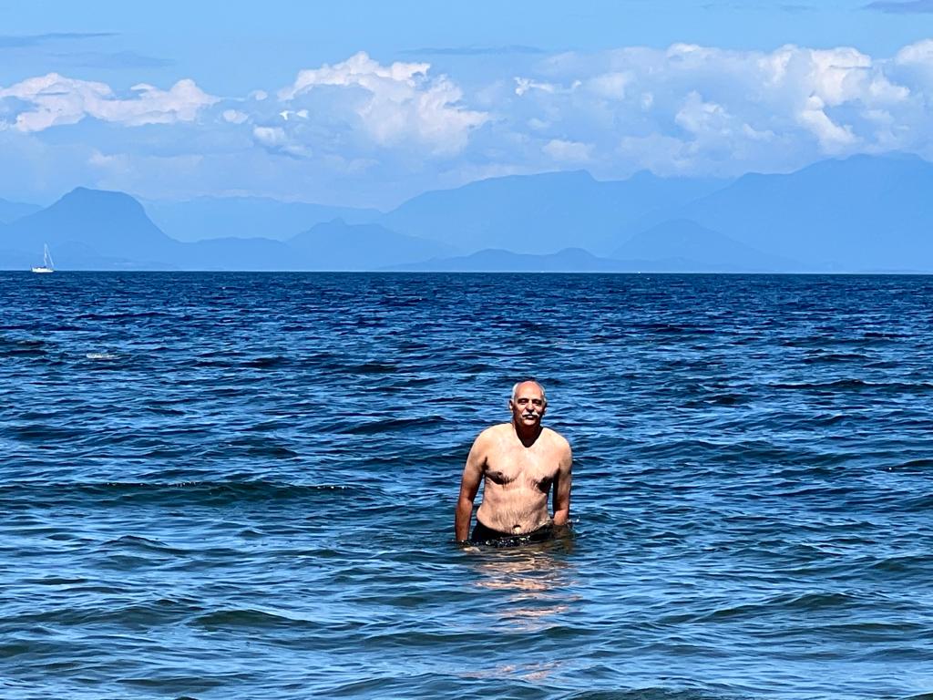
We joined the others in the water. It was cold, but after a while, it became tolerable – as long as one did not rise out of the water in the chilly breeze. The tide was coming in, and we soon realized that our clothes and sandals would be submerged, making us scramble out of the water to move them to a safer place. By then the tide had risen considerably with hardly any beach left. We had been lucky to have reached the place in time to take a dip. Or there would have been no beach to see!
We drove around the island and the houses seemed deserted and so were the roads. By this time the restaurants had also shut down and there was no place to find anything to eat. So we decided to head back. We had noticed a long queue of cars waiting to board the ferry when we had disembarked. It was prudent to join the queue at the earliest if we were to get on the ferry without a long wait.
The noise from the car was now increasing while braking. Unfortunately, that day was a Sunday and no workshop was open. The few who were had prior bookings and hence not available. After calls to find a solution, a mechanic was located who had a mobile workshop. Since it was likely that the brake disc pads required replacement and these were not easily available locally, he agreed to get them from Victoria and attend to the problem the next day.
The last day at Nanaimo thus was a day of forced rest for us. Probably for the best before the long journey to Edmonton. The mobile workshop arrived in the early afternoon. It was an interesting modification done to a truck, which had the capability starting from lifting a car, to perform any action that a regular workshop could carry out. The mechanic was very professional, and at the start itself made it clear that we should relax inside the house as would get disturbed if we kept hovering around him!
He did a good job, and in no time the disc brake pads of both the rear wheels had been replaced. It was a pleasure to see him at work from a distance. That let us breathe a sigh of relief, as we were to leave the next day, and had bookings for the ferry and the halts on the way back.
.
.
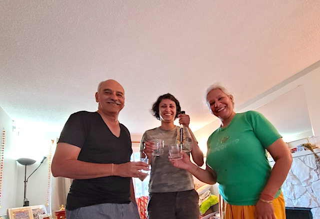
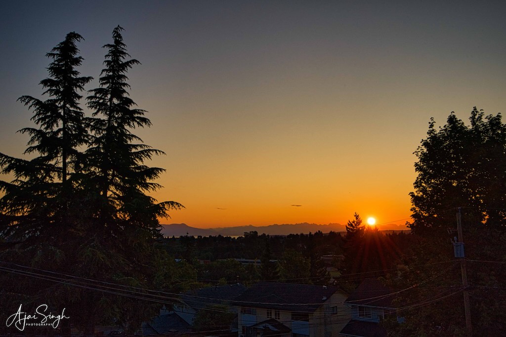
The evening was a mini ‘celebration’ of the wonderful stay we had with Mona on Vancouver Island. And tried to sleep early, since the last item on the agenda was still to be completed. I got up early morning, well before sunrise, to photograph the beautiful sunrise as it appeared over the horizon. Mona’s house was on a slight hill, and from the 1st floor, it gave an excellent view.
.
.
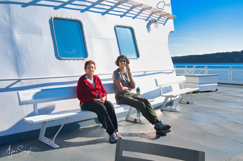
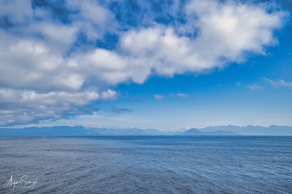
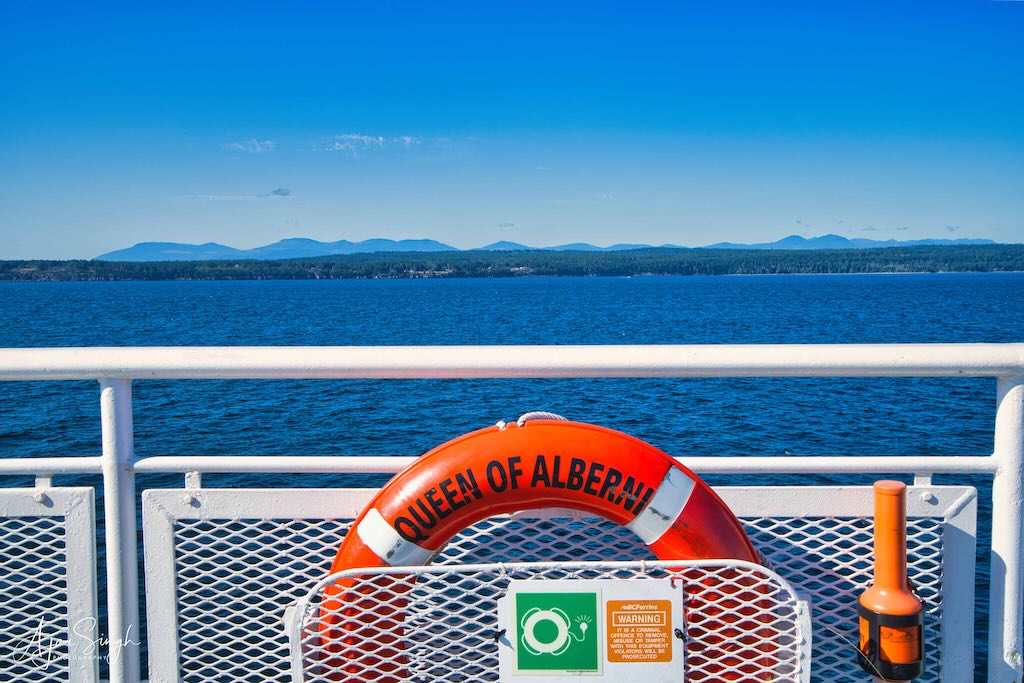
That done, and the car loaded with the thousand items we had, final farewells were made, and we drove off at exactly 8:00 am, today 1 August 2023. Our booking was for the 8:30 am ferry, and the rush was similar to what we had experienced while coming. We could only get on the ferry because of bookings made well in advance. This time we were blessed with clear skies and a bright sun. Thus, most of the time was spent on the deck enjoying the view on the 2-hour voyage.
.
.
The car oil change was due, and at Abbotsford, Richa drove to a car oil change workshop (Great Canadian Oil Change), where the job was performed in no time. Lunch, and then we were off for Kamloops, where we planned to halt for the night.
.
.
At Merritt, the road bifurcated for Kamloops and Kelowna. Richa had planned the return journey through Kamloops: this was on the Trans Canadian Highway. The original plan was to use another route that would have taken us through the scenic mountainous heartland on a narrower road, but there were forest fire warnings on that route, common during this season, so we stuck to the main highway.
.
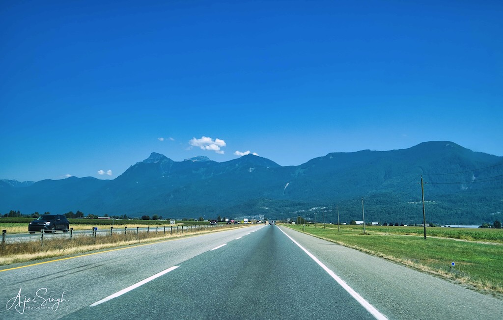
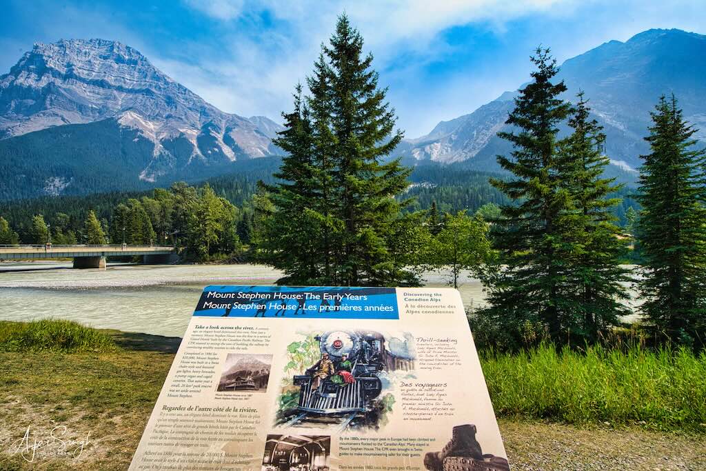

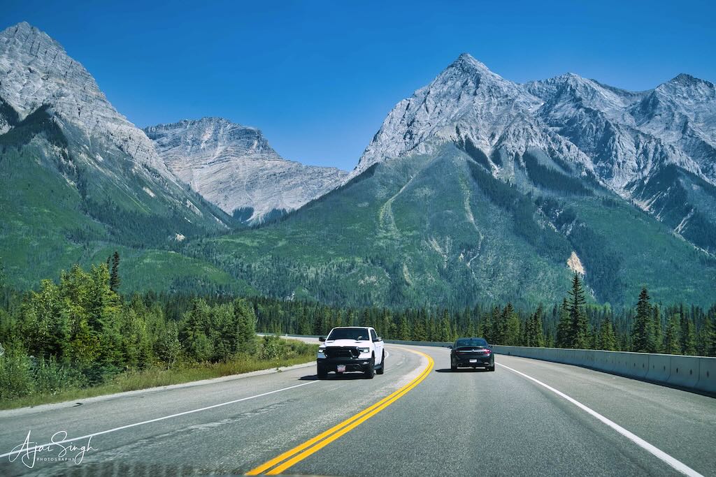
Crossing the Rocky Mountains on the Trans Canadian Highway through Fields
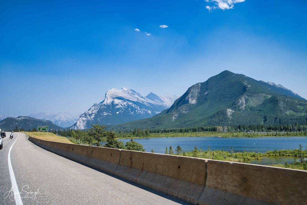
Ha Ling Peak (seen with the sharp edges) has an interesting legend behind it. It is a peak at the northwestern end of Ehagay Nakoda — a mountain located immediately south of the town of Canmore just east of the Spray Lakes road in Alberta’s Canadian Rockies. The immortal Iktomni (the Trickster or the Old Man) possessed special powers. He was the first Nakoda (human) to live on the Earth and, in fact, assisted the Creator with its origin. After the formation of the earth, additional Nakoda (humans) were created to live on this planet. Since time immemorial, their traditional homelands included the eastern slopes of what is now known as the Canadian Rockies.
.
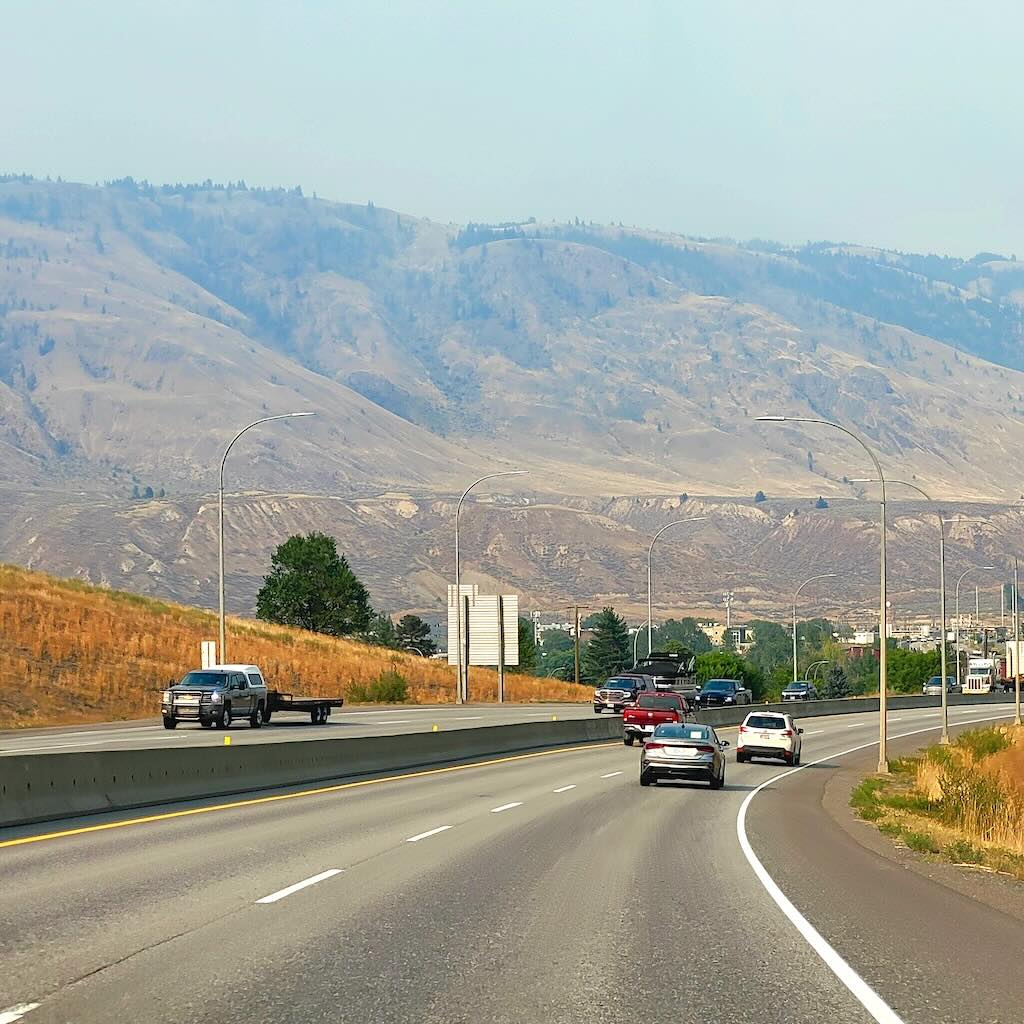
The drive was pleasant, the scenery familiar by now. The forest fire warnings were real, and short of Kamloops we could see in the distance a huge plume of smoke rising into the sky from a mountain range. The orange tinge of the smoke was an indication of the scale of the fire, visible even at a distance. As we neared Kamloops, the smoke had started to cover the highway, and the town was covered under its blanket when we entered. That was unfortunate since the area around the town is very scenic, with the mountains and river running through. We learned that this region is in the rain-shadow region of the coastal mountains, as was the Okanagan, giving it an arid climate. The forests hence were prone to catching fire.
.
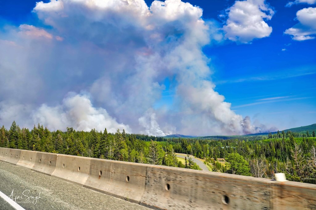
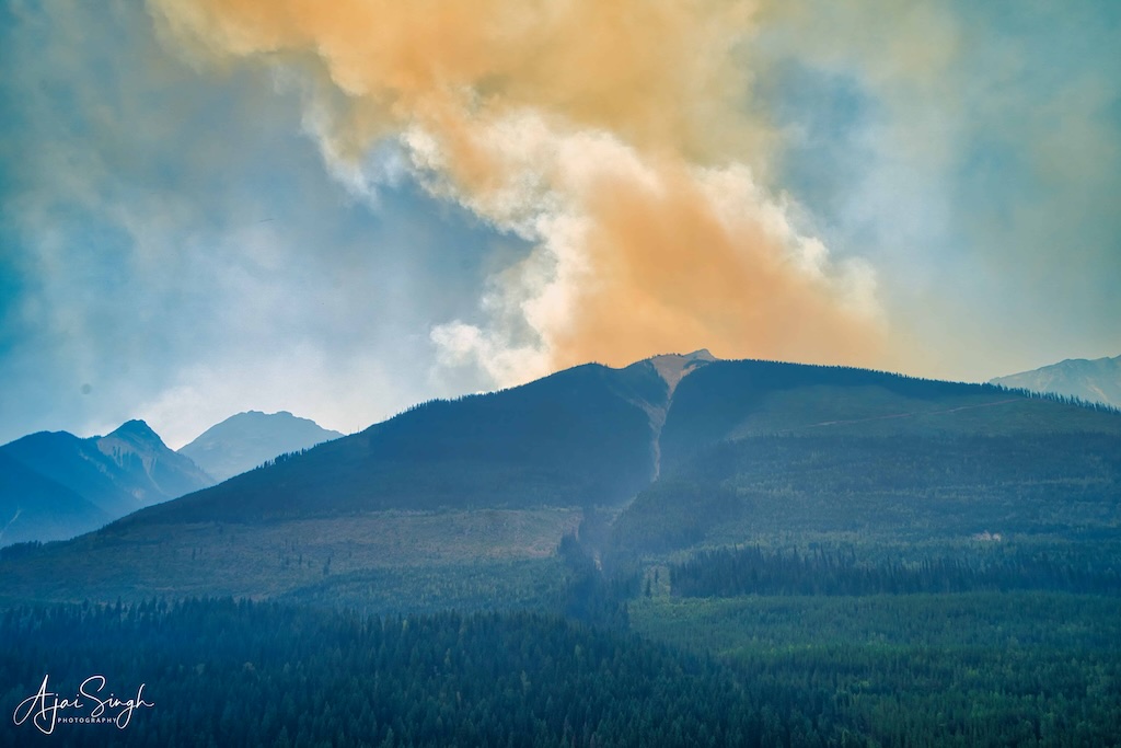
Forest fires are seen from the highway before Kamloops
.
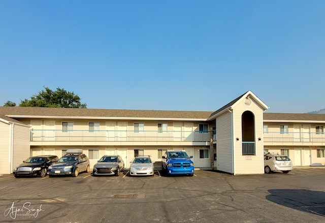
“Kamloops” is the anglicized version of the Shuswap (First Nation) word “Tk’əmlúps”, meaning “meeting of the waters”. It is the junction of the North and South Thomson Rivers. Being a popular tourist destination, it has a large variety of accommodation available. We were booked in a motel. The Ranchland Inn turned out to be a cozy property, with a newly-married Indian couple managing it. The wife had come to Canada only a few months earlier and was quite happy meeting us. The service was good, and we got invited to their accommodation on the premises for evening tea. That helped pass the time, since with the smoke blanket, going to the local sights was ruled out.
.
.
After breakfast the next morning, we drove off. The smoke soon cleared and the scenic beauty of the surroundings was again visible. The traffic on the highway had increased, and a large number of trailer trucks were now plying on the road. The next halt was a tea break at the McDonalds at Revelstoke. Refreshed, we headed for Calgary, where we were halting for the night. Kunal, our neighbor’s son from Noida had settled here and he had remained in touch with Richa. He had insisted that we stay with them on our return journey.
.
.
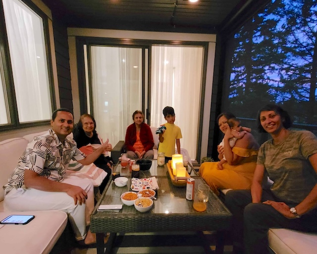
They had a large house, adjacent to a golf course which gave a beautiful view of the gardens beyond. With two small children, the stay was tumultuous in their company. We enjoyed the time spent with Kunal and Upasana, the perfect hosts, and sadly had to turn down their offer to stay on for another day. But we ensured that it was not an early morning departure, and left only after a sumptuous lunch.
The last leg of the journey passed off quickly as we were eager to receive the welcoming hugs of Yoda and the whistles of Nibu. We reached home by evening, a bit fatigued, but with a heap of unforgettable memories of new places, experiences, and meeting people. We had started the journey on 21 July 2023 and were back on 3 August 2023. For me, a dream had been realized, having visited some remote and exotic locations. It was now time to relax and try to pen my recollections.
And start planning for the next trip!!
.
.
Note: All photographs displayed above are my exclusive property and copyright; their use is prohibited without explicit consent, in writing.
.


