
The overnight train from Ahmedabad was on time and we got down at the desolate Anjar station at the crack of dawn. Our anxious eyes spotted Sanjeev, who was to be our host and guide over the next few days. We quickly loaded our bags in his car and sped to the Guest House for a quick change before embarking on our exploration of Kutch. We had a long day ahead of us.
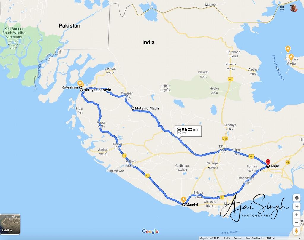
The lingering monsoons ensured an overcast sky much to our relief. Not only the weather, soon other misapprehensions about Kutch were cleared for us. The hot, arid landscape that we had envisioned turned out to be a cool, cloudy and lush green countryside. We learnt that during Narendra Modi’s tenure as Chief Minister, he had brought Narbada waters through pipes, which had transformed the region. We witnessed this first hand when we halted at a famous dhaba on the Bhuj bypass, famous for fresh fruit juices. The fruits for the staggering variety of juices were all grown at their own farm! We even packed a supply of fresh frozen juices which the owner assured would remain cold for 3 to 4 hours.
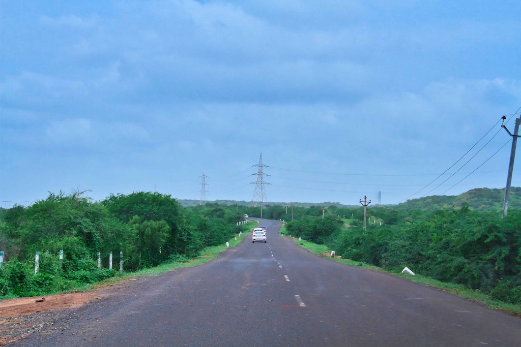
The countryside continued to amaze us. Having been posted in this region in the early 1970s, the greenery appeared a miracle. Anjar had been the epicentre of the devastating earthquake in 2001, and along with Bhuj, had been razed to the ground. Both places were now bustling towns, shining in their newness. Naturally, no old construction had survived and everything was post-2001 construction.
Our first destination was the Matanamadh Temple, famous for the Ashapura shrine that is steeped in antiquity finding mention even in the Puranas. She is reputed to fulfil all wishes and has a large following. The peculiarity of the deity is that she is seen on her knees, appearing to stand up. The legend has it that about 1500 years ago Karad Vania from Marwar was touring this area to sell his wares, and stopped in the spot where the present temple of the goddess stands to spend the nine days of ‘navratri’ as he was a devotee of the Goddess Amba. He did not have any issue, so he always prayed to her to give him a child. While sleeping in the night he saw the deity in his dream who asked him to build a temple on the spot where he stopped. As a token of the veracity of this dream, She is said to have added, on waking up he would find a coconut and a chundri (a piece of red-coloured cloth). But the Goddess had given specific injunction that after the temple was built its doors should be shut and were not to opened for six months by which time she would establish herself therein. However, before the six months Devchand (the name of the Vania) started hearing the sounds of celestial music after sunset and during the night. He could not stop himself and opened the doors of the temple and found the deity on her knees in the pose as She appears today. The long queue notwithstanding, we were able to get a satisfying darshan and were again on the road by 12:30 pm. Having covered 150 km, we had another 50 km to reach Narayan Sarovar, the western-most point of our trip.

The welcome arch of Narayan Sarovar marked the beginning of a kilometre-long causeway connecting the town with the mainland, with dry flats on either side. A huge concrete TV tower was visible from the distance. We were now at one of the western-most points of India.
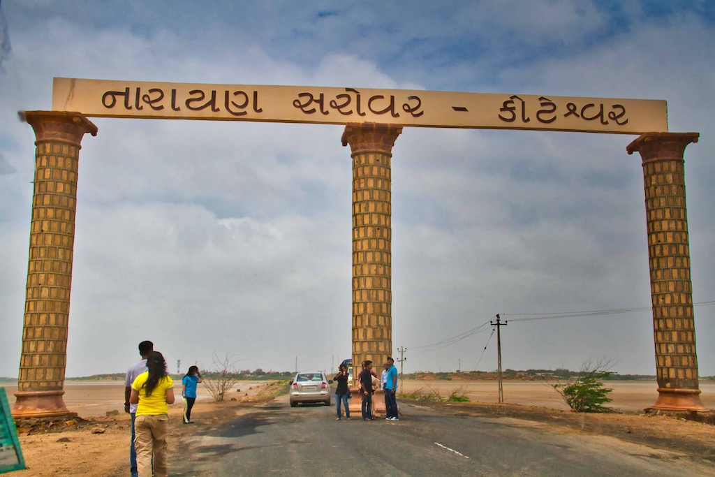
The next populated city across the border in Pakistan was Karachi itself! The glow of the city is visible on clear nights from here. The town is famous for the sarovar (lake), once nourished by Saraswati River and one of the five sacred sarovars for Hindus. The others are Mansarovar in Tibet, Pampa in Karnataka, Bhuvaneshwar in Orissa and Pushkar in Rajasthan.
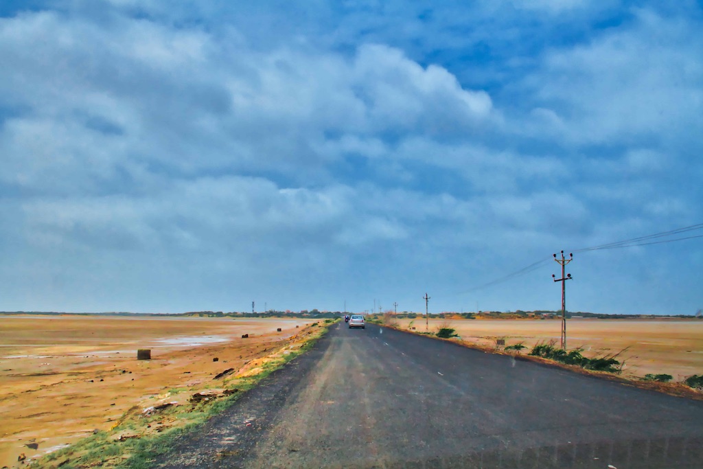
The lake is associated with a time of drought in the Puranic area, when Narayan (an avatar of Vishnu) appeared in response to the fervent prayers of sages and touched the land with his toe, creating the lake. It finds mention in the accounts of Alexander. Beside the lake, there was, from early times, a temple of Adinarayan in the village.
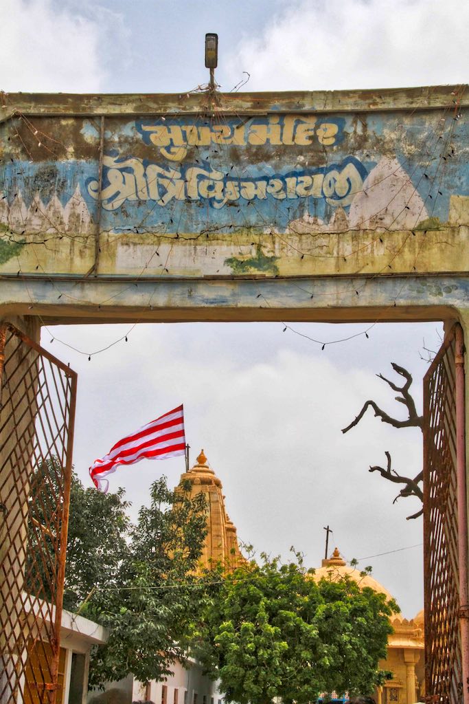
There are seven stone temples in a paved courtyard of 164 feet by 621⁄2. The temples are approached from the lake by flights of stone steps and surrounded by a strong wall. Vagheli Mahakunvar, the wife of Rao Deshalji I, Rao of Cutch State started construction in 1734; she first built the temples of Lakshminarayan and Trikamray in the same style as the Dwarka temple.
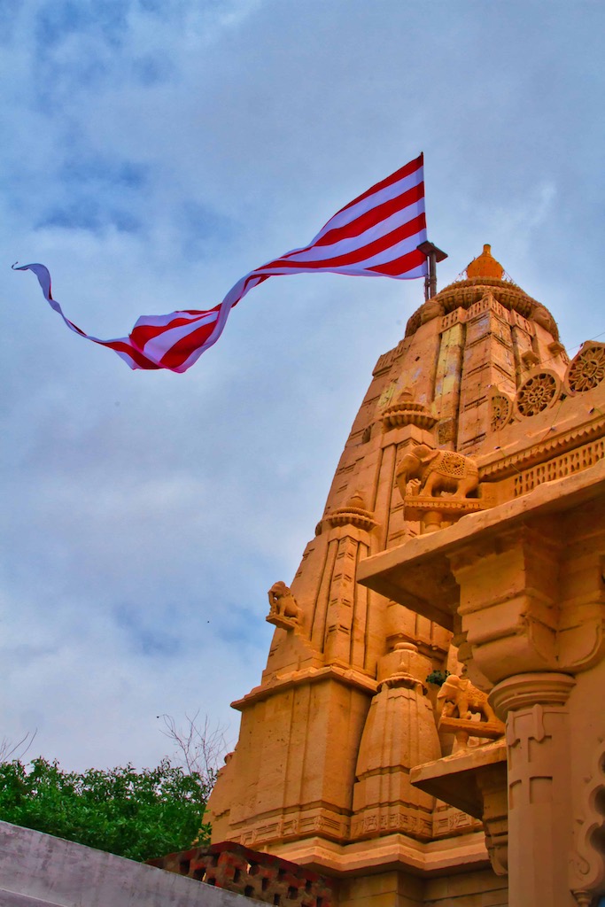
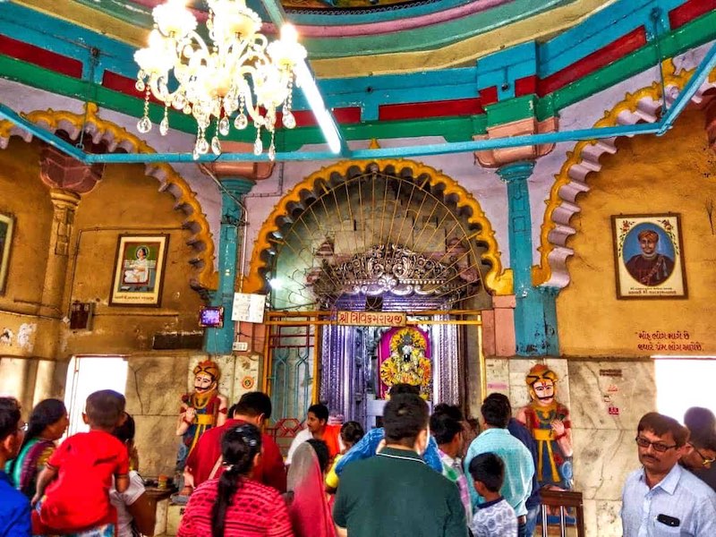
The doors are plated with silver. In the shrine, on a silver throne, stands a black marble image of Trikamray. Over the image of Trikamray are forty gold and silver parasols, the offerings of devotees.
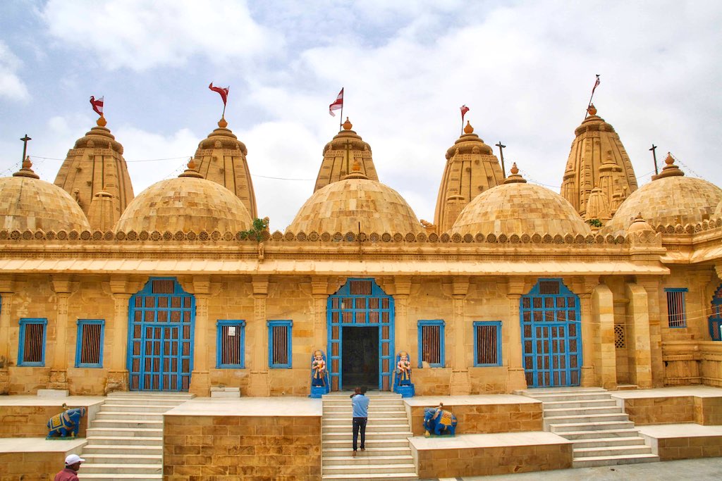
The other five temples built by Vagheli Mahakunvar consist of Lakshmiji’s temple, which is without any special feature. Dwarkanath’s or Ranchhodji’s temple has a small shrine opposite to it with a large image of Garuda, holding a weapon whose point impales a cobra. The third shrine, to Govardhannath, is simple. The fourth, to Adinarayan, has a black stone pavement in the gallery. Opposite it is a small lately built shrine of Gopalji. The last, to Lakshminarayan, has silver-plated doors and an idol throne and canopy of silver.
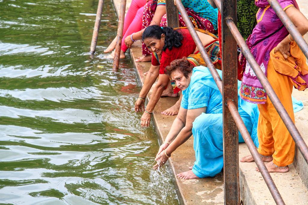
Koteshwar is a few kilometres further and is on the seashore. And it is the last habitation on the Indian side of the border. This ancient temple also finds mention in Hindu religious texts. Legend has it that in the Ramayana, while carrying the shivaling from Kailash to Lanka, he placed it on the ground and the temple came up on the spot. The temple is an imposing construction built to withstand the seas and storms and it is well maintained and clean. The nearby BSF Border Out Post car park was nearly swamped with visitors heading towards the temple. A strong breeze from across the sea cooled us slightly as we performed our rituals.

Koteshwar Shiva is said to be the Bhairava of Hinglaj Mata residing at Hinglaj. The virtuous devotees are therefore recommended to visit Koteshwar after they have visited Hinglaj Mata. The story of Koteshwar begins with Ravana, who won it as a boon from Shiva for an outstanding display of piety, this Shiva linga of great spiritual power. But which Ravana, in his arrogant haste travelling from Kailash on the way to Lanka, accidentally dropped and it fell to earth at Koteshwar. To punish Ravana for his carelessness, the linga turned into a thousand identical ones, some versions of the story say ten thousand, some a million. Unable to distinguish the original, Ravana grabbed one and departed, leaving the original one here, around which Koteshwar Temple was built. The temple is also known as Kotilingeshwar Temple.

The earliest mention of the place can be found in the writings of Chinese traveller Hiuen-Tsiang. Hiuen-Tsiang mentioned it as “Kie-tsi-shi-fa-lo situated on the western border of the country close to the river Indus and to the great ocean” of Kutch. According to Hieu-en-Tsiang, Koteshwar port was five miles in boundary near the mouth of the river Indus. There were 80 monasteries with about 5000 monks in them chiefly from the school of Sammityas. In the middle of the completion were thirteen temples of which Mahesh Mandir was full of good monuments and where ash-smeared heretics lived.
Except some temples, Koteshwar shows few signs of its former greatness.

The porch has three domes with, under the central dome, a large and beautiful brass bull presented by Rao Deshalji I of Cutch State; in the right dome a large statue of Hanuman and in tho left dome one of Ganpati. A writing on the left side of the gate shows that the present fort and temples were built in 1820 (Samvat 1877) by two Seths, Sundarji and Jetha Shivji, both being Brahma-Kshatris.
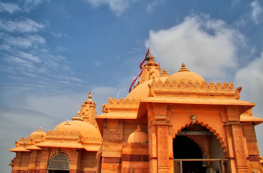
On the site of this modern temple there stood an older building, one of whose stones is said to have borne an inscription to the effect that it was built by the Kers of Golay. This stone has disappeared, but among the Kers, who are now a Muslim clan, the story that their forefathers built the temple still remains.

From the fort a paved causeway, twelve feet broad and used as a pier by country craft, runs out for 520 feet. At the end is a square reservoir filled by every high tide, where Hindus perform the shraddh ceremony and bathe. On the middle of the pier is a square platform, kotha, on which is built the temple of Nilkanth, now known as Saraneshvar, facing the west with a porch and a small Islamic dome. It is said to have been originally built in the thirteenth century by God Rani
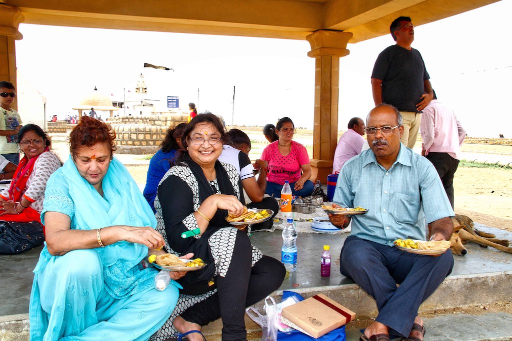
The packed lunch was sumptuous and was enjoyed under the picturesque stone-roofed picnic spots constructed along the seashore.
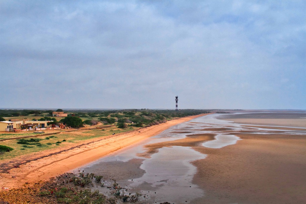
It was 3:30 pm by the time we were on the road again. Next destination was Mandvi, famous for its beach and other historical monuments. We had the option to retrace our path by following the more travelled route. We chose the path less travelled, which was also shorter and it took us past the Indian Air Force base at Naliya. The distance was 150 km, but the road conditions were uncertain.
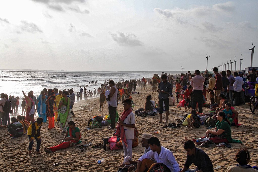
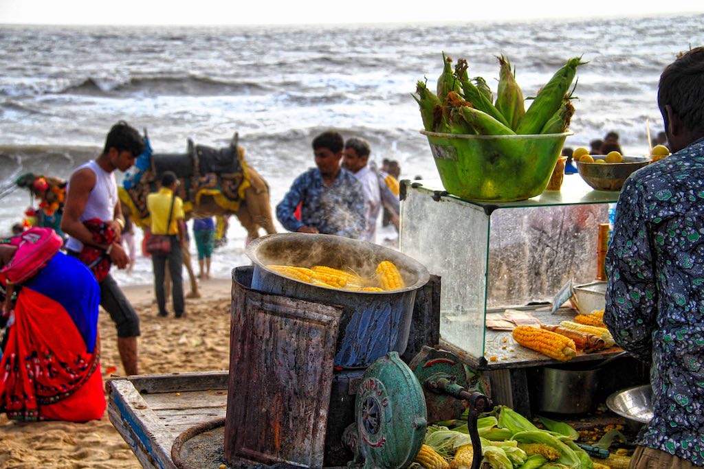
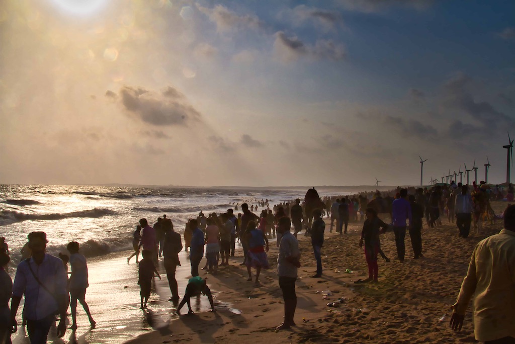
Our apprehensions were soon put to rest. The road was well maintained and the countryside continued to be green, with a sprinkling of industries along the way. These were mostly cement plants and salt units. Wind farms were plentiful. A large portion of road users was herds of cattle! We had to often slow down to give them right of way. The historic port town of Jakhau and religious centre of Pingleshwar were bypassed, as they were off the main NH 41. It was late afternoon when we entered Mandvi. The town was brimming with tourists since it was a Sunday. The road to the beach was jammed with cars and we took the safer option to park at a distance. The long walk helped loosen our cramped legs and was refreshing. The beach resembled a mela. Swings, merry-go-rounds, food stalls, camel and horse rides covered every available space on the beach. Families holding hands tightly and sitting in the shallow water enjoyed each wave as it came crashing and engulfed them! We joined in the fun. Sanjeev opted for a camel ride, while we savoured a freshly roasted corncob.

We still had the final 100 km to cover back home and felt it was prudent not to wait to witness the sunset. We left at 6:00 pm. Initially, Google led us up a village path, before realized our mistake and took some “manual” decisions to find our way back to NH 41. The highway joined the road connecting Mundra Port and the highway was full of big container trucks trundling along with their massive loads. With darkness setting in, our progress reduced considerably. Tiredness finally took its tool and most of the journey was completed in relative silence. The highway towards the end became single-lane, which further reduced progress. Finally, at 8:25 pm we reached the Guest House. It had been a full12-hour day spent on the road. We had covered the expanse of Kutch and travelled literally to one end of India! The experience was revealing as with this circuit was off the major tourist routes and we had many misconceptions of the area being barren and undeveloped.
I hope more people make the effort to visit this area to gain a better insight about our country, its people and culture. And our heritage, which is still largely unknown to most of us. We were lucky to have had the opportunity to get a glimpse of it.
Read about the hidden treasures of Khadirbet island in the Rann of Kutch Lake – the site of the Harappan megacity of Dholavira; and the Fossil Park where one can see fossilised trees from the Jurassic Age i.e. 176 million years old! These have been covered in the next blog here.
Note: All photographs displayed above are my exclusive property and copyright; their use is prohibited without explicit consent, in writing.


