
Travels through the remote Himalayan regions of Lahaul-Spiti
“May your trails be crooked, winding, lonesome, dangerous, leading to the most amazing view. May your mountains rise into and above the clouds.”
Edward Abbey
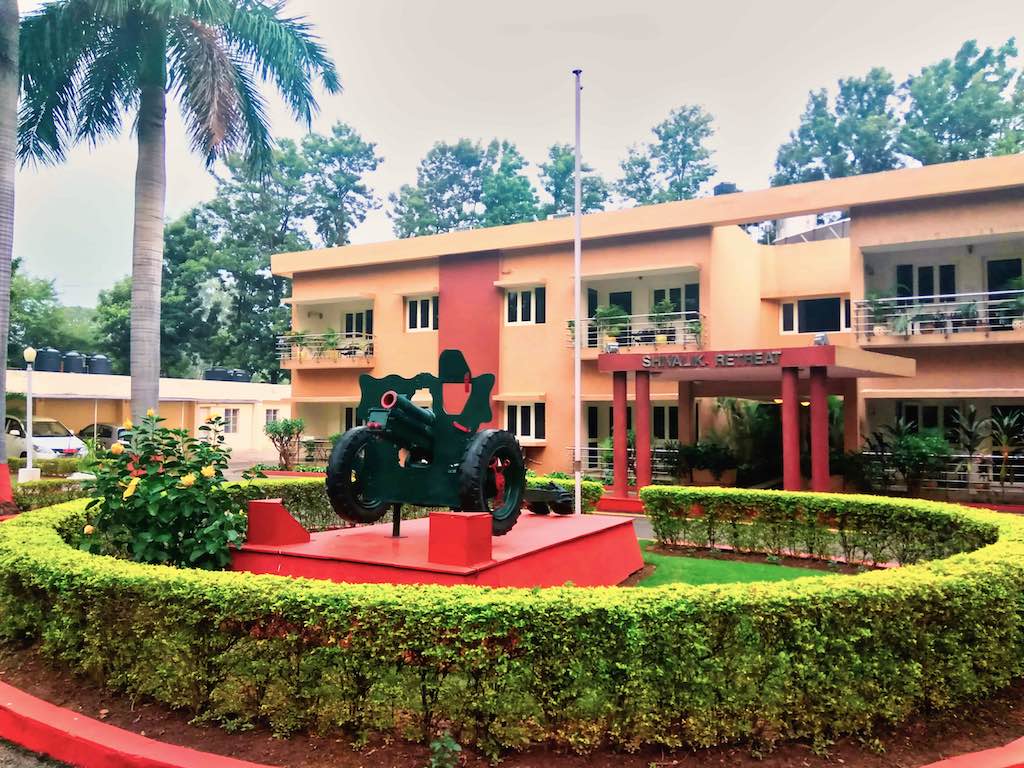
It had been a long time under planning. The momentous trip to the upper reaches of the Himalayas. Many friendly voices urged a re-think on the plan, leading to some trepidation in my joining the trip. Long, torturous drives, most on non-existent roads and high altitudes were a cause for some concern, but I decided to test my limits, once again! In no small measure comforted that Vijay and Chitra were accompanying me on this trip. An NDA coursemate, and mountaineer to boot, I was sure we could rough it out together. Ranjana opted out due to the long, backbreaking drives. We drove in Vijay’s car from Noida to Chandimandir a day earlier and halted for the night there.
29 September 2017 was the date for the travel group to gather at Chandigarh. The eight members of our group were accommodated in two SUVs, a Toyota Crysta and an Innova, something which promised at least a degree of comfort on the long drives. The group members were a diverse lot. Ram, a Pune-based IT engineer; Bhumika and Akanksha, friends with a number of trips between them, were the two young ladies with us. Dr Nilanjan Sarkar and his wife, Prokreeti, from Jamshedpur, completed the group.

Day 1
The day started with the travel agency arranging to pick all the members from their designated places. By the time the group members were picked up from locations around Chandigarh, and we finally met the second vehicle ahead of Dharampur on the way to Shimla, it was time for lunch.
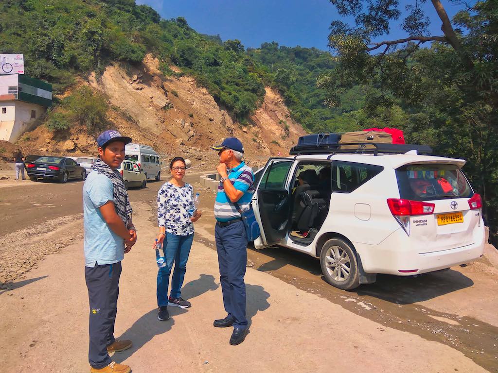
The road till Shimla was undergoing widening and was dug up most of the way, leading to massive traffic jams; we managed to crawl along most of the way. A bit of a dampener for us to the otherwise high spirits in anticipation of the trip ahead. To further avoid the evening traffic of Shimla, we decided to give the place a miss and diverted our route via Chail and Kufri. Bablu, our driver, was an old hand in this business and with his bubbly nature kept up a running commentary about places en route.
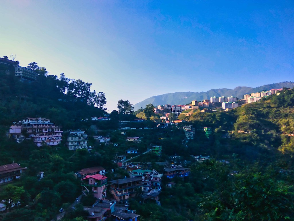
One of these was the story behind the founding of Chail by the Maharaja of Patiala, a result of his infatuation with a white woman resulting in his entry being barred in Shimla! So he simply founded a new town, at a higher site. By the time we digested our newfound knowledge, we had crossed Kufri and took a late evening break for tea at a roadside stall.
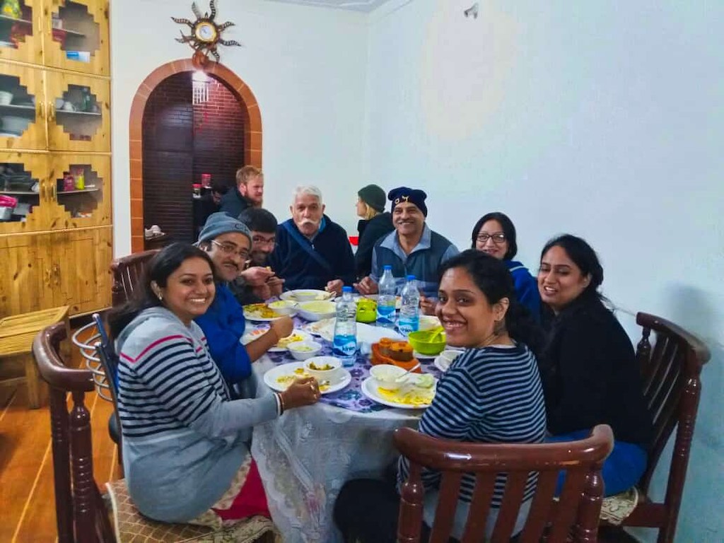
It was late by the time we reached our destination for the night and the last portion of the journey was in darkness. Hattu Valley Home Stay at Tangri Village, slightly ahead of Narkanda was a cosy homestay, located in the midst of apple orchards.
Day 2
The scenic location of the homestay unfolded the next morning as the sun rose over the valley.
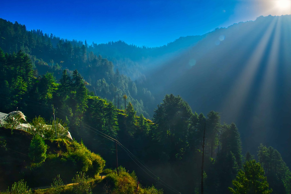
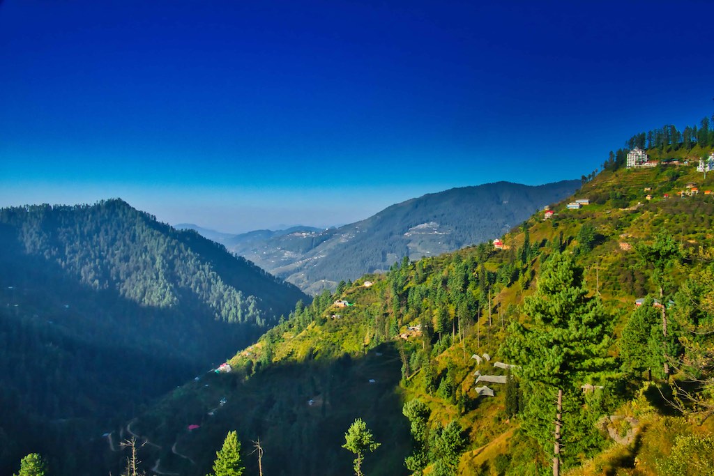
The owner was a pleasant person, with his whole family, including relatives summoned to cater for the needs of the extra guests, working to ensure a delicious dinner of local dishes, and breakfast the next morning.
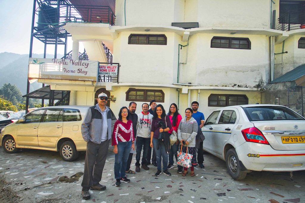
After an early breakfast, we were off for Hatu peak (12,000 ft), where the famous Hatu Devi Temple was located. The 5 km narrow road to the top from the Shimla-Rampur highway was narrow and steep. But it provided lovely views along the way. Many choose to trek up this stretch, if so inclined. According to local belief, the famous wooden Hatu Mata temple traces its origins to the Ramayan epic and is the temple of Mandodari, wife of Ravana. There is an ancient stove-like formation of rocks near the temple. It is believed that these were used by the Pandavas to cook their food during their Agyaat Vaas.
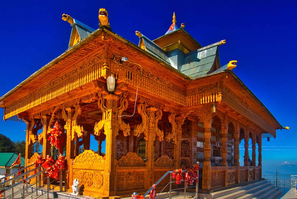
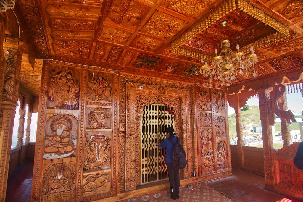
Situated on the mountain top, the views from the temple were breathtaking.
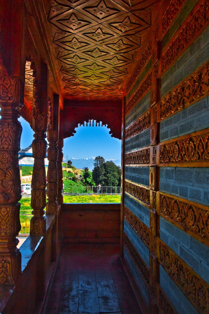
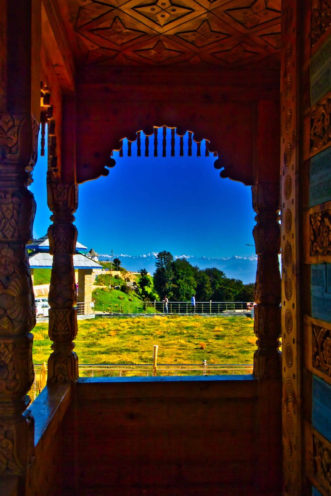
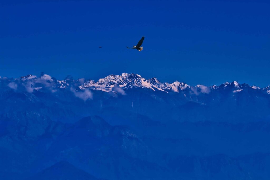
There was a long drive ahead of us today. Approximately 170 kms to Sangla, along the Sutlej River.

The road was good and we made excellent progress. We stopped for lunch at Wadhal at a popular roadside eating place, perched high above the Sutlej River valley. This place was run by the wife of a BSF jawan and was a pleasure to see her single-handedly cater to the 11 of us without any delays.
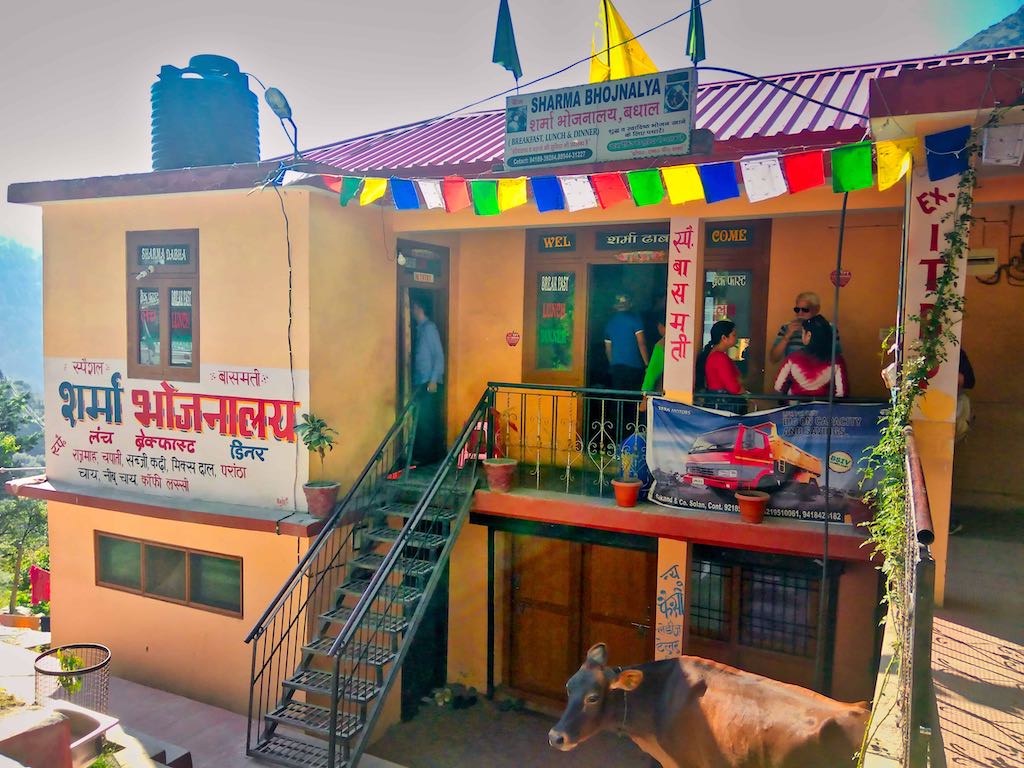
Meals in the hills was mostly a fixed-menu thali, consisting of rice, rajma (kidney beans) and a local vegetable, if available. It was always piping hot and tasty, with unlimited servings.
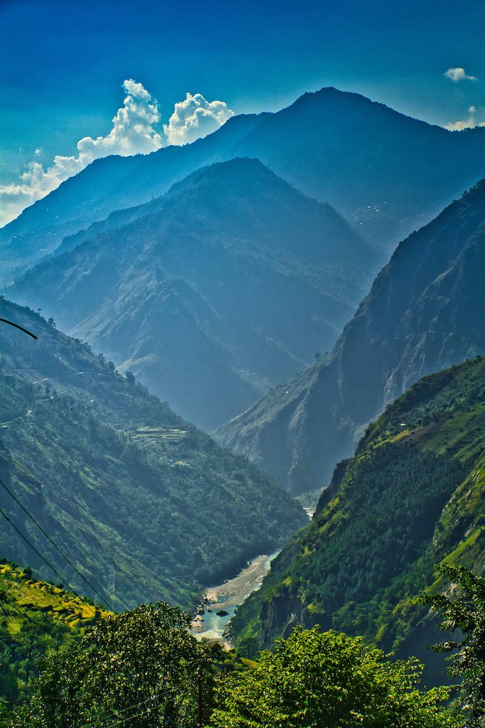
The Sutlej valley was full of amazing views all along the drive. The road at places was an engineering marvel. Time passed quickly just looking at the passing scenic beauty.
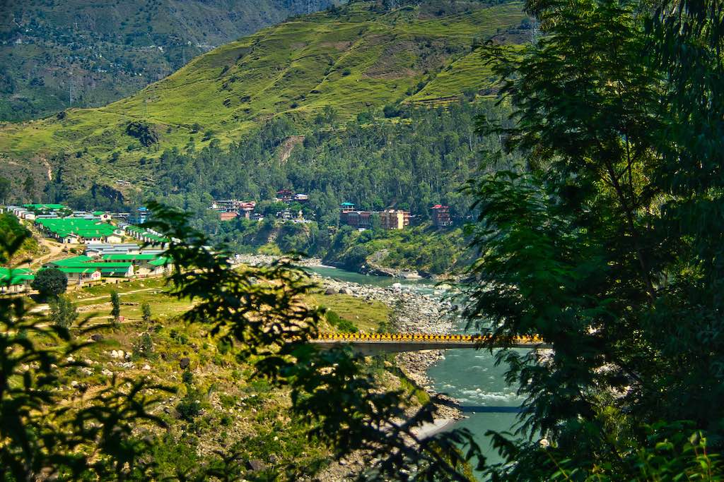

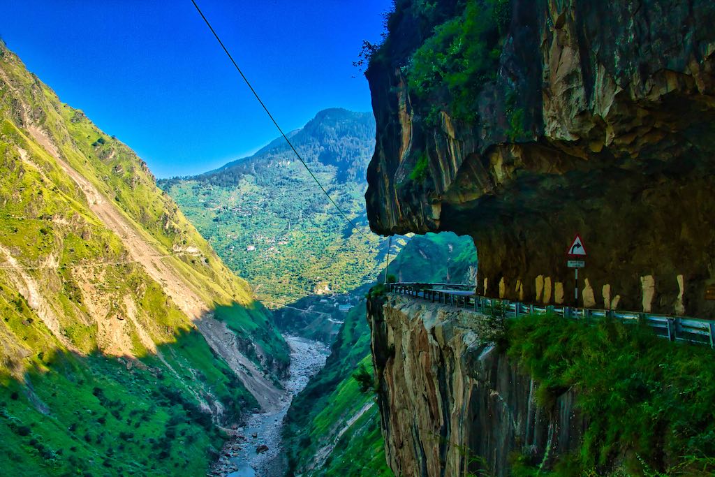
As we drove further through the day, some portions of the road had been cut through solid rock and were feats of engineering, considering their construction decades ago!
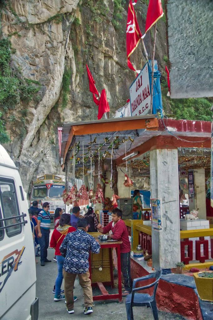
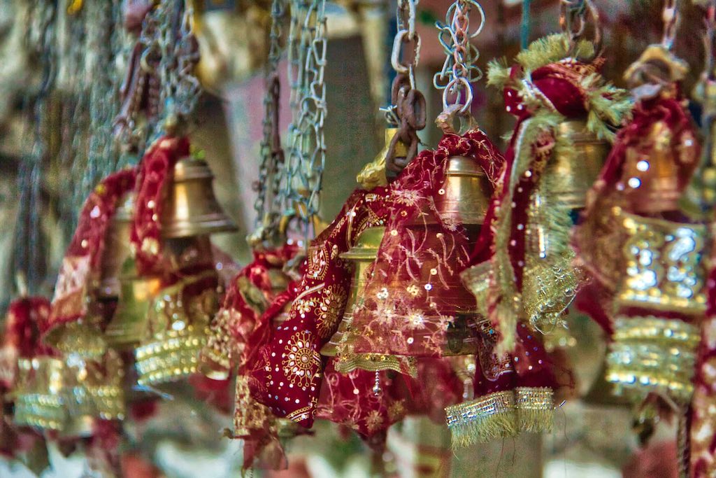
The famous Tranda Durga Mata Temple at Karape, the guardian Goddess for travellers. Every vehicle stops to obtain her blessings before proceeding further….and so did we.
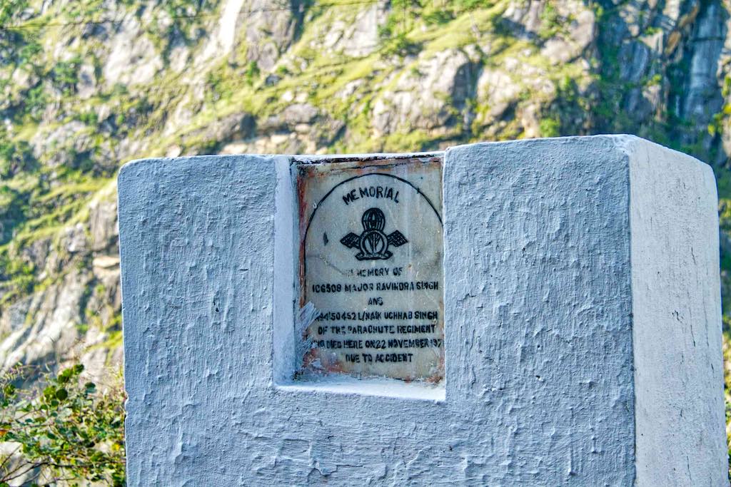
Seeing the dangerous road construction in such areas, many lives have been lost during its construction, as well as from the frequent Army convoys which traverse the route. To mark the spot where lives have been lost, one will come across many small memorials along the roadside during the drive.

We crossed the big hydel power projects of Jhakri-Naptha on Sutlej that day, names we had only heard till now. Towards late afternoon, we halted at the Karcham Dam, where the road bifurcates for Spiti and for Sangla. We took the Sangla road along the Bapsa River, which we will have to retrace when we return to head towards Spiti.


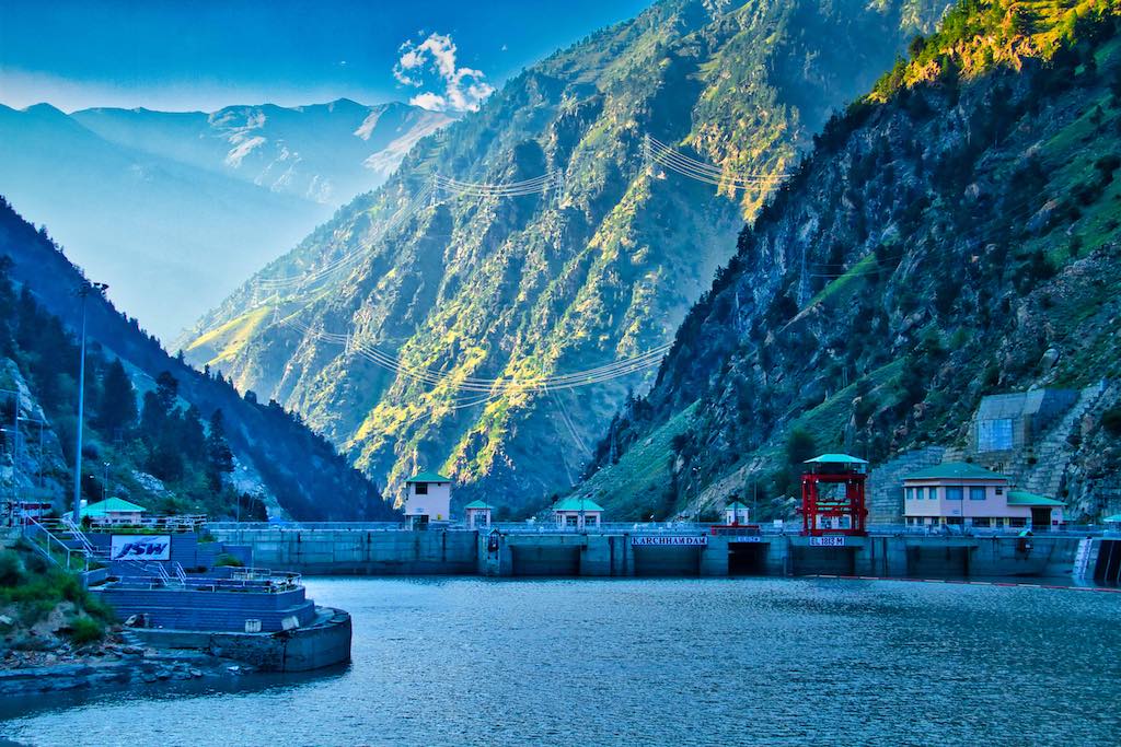

The rest of the journey to Sangla was uneventful. The road was good except for a few bad patches, and we soon crossed the town.
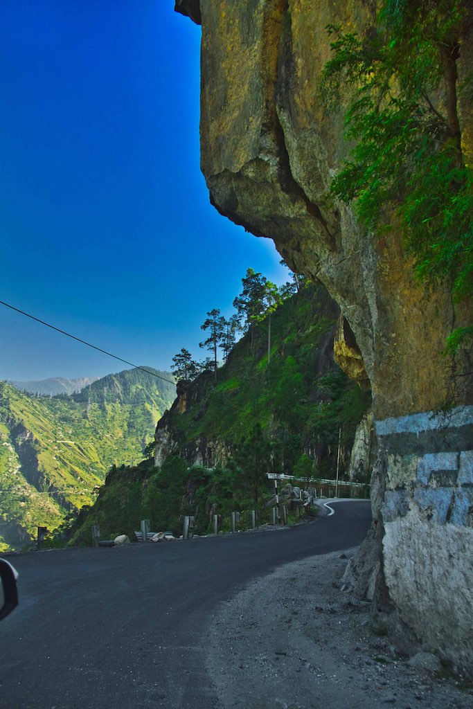

Our night stay was at a campsite in the village of Batseri, which was slightly ahead of Sangla. The track down to the camp from the highway was steep and our car just about negotiated the twists and turns to the campsite. I am sure that with even a little snow or rain, it would not be possible to negotiate this last stretch.

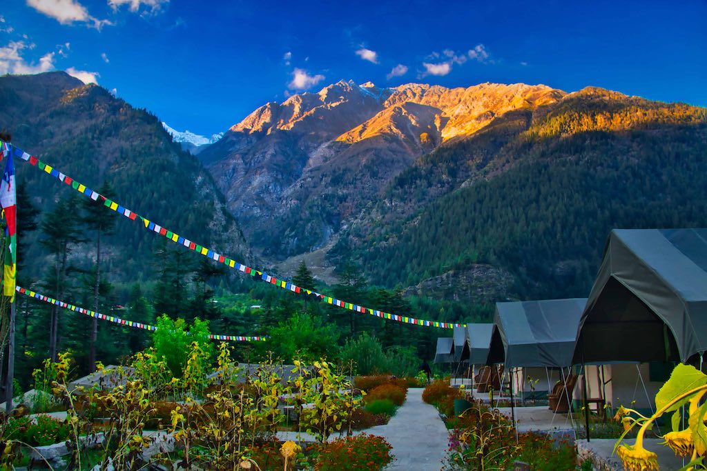
The location of Kinner Camp was perfect, nestled in a valley and surrounded by snow-covered peaks and dense forests. One could hear the waters of Bapsa River flowing nearby. The Camp itself was well maintained and provided 4* comfort – a popular destination for foreigners.

Day 3
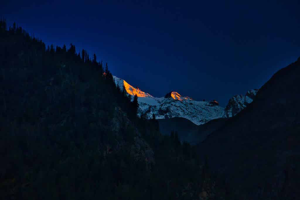
I was up around 5:30 am to catch the sunrise. At dinner, we had been told it was a must-see event! Since the solar-heated water supply in the camp was available only later, I had to manage with the freezing water for the morning chores to be on time! The slow advance of light advancing across the dark valley and the progress of the golden hues across the snow-clad peaks cannot be expressed in words!

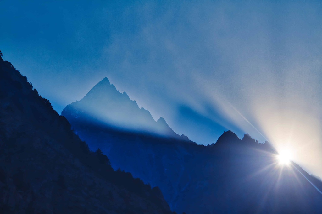
Soon the valley was awash in a burst of bright colours.
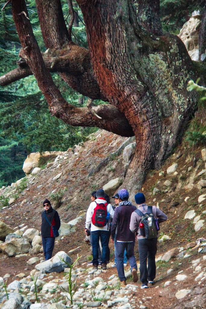
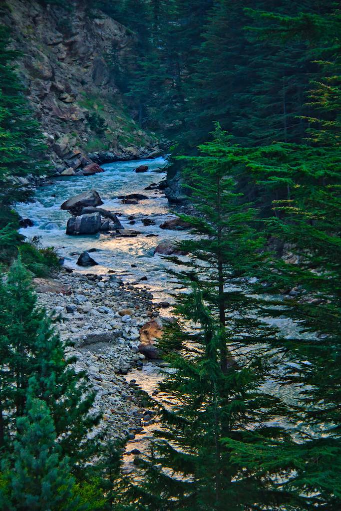
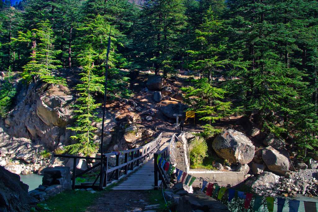
The day started early, with a trek across the Bapsa River, flowing close to the camp, and through the dense forests to the nearby Batseri village.

Apple orchards laden with apples lined the track and the surrounding areas once we approached the village. It was a sight to see, golden yellow mixed with red varieties. It was here we learnt the secret of growing apples!
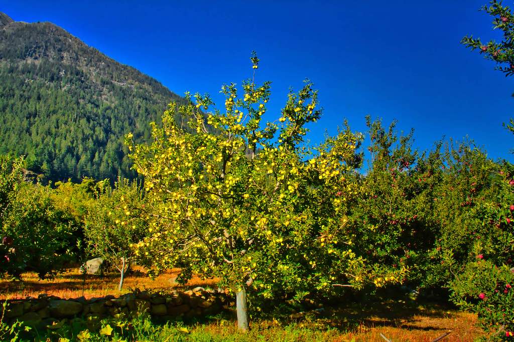
Kinnaur apples are amongst the best quality apples grown in India, and definitely the apple laden trees were testimony to that!
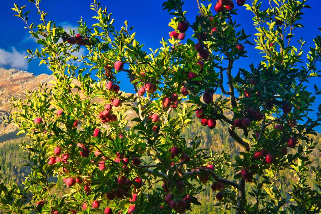
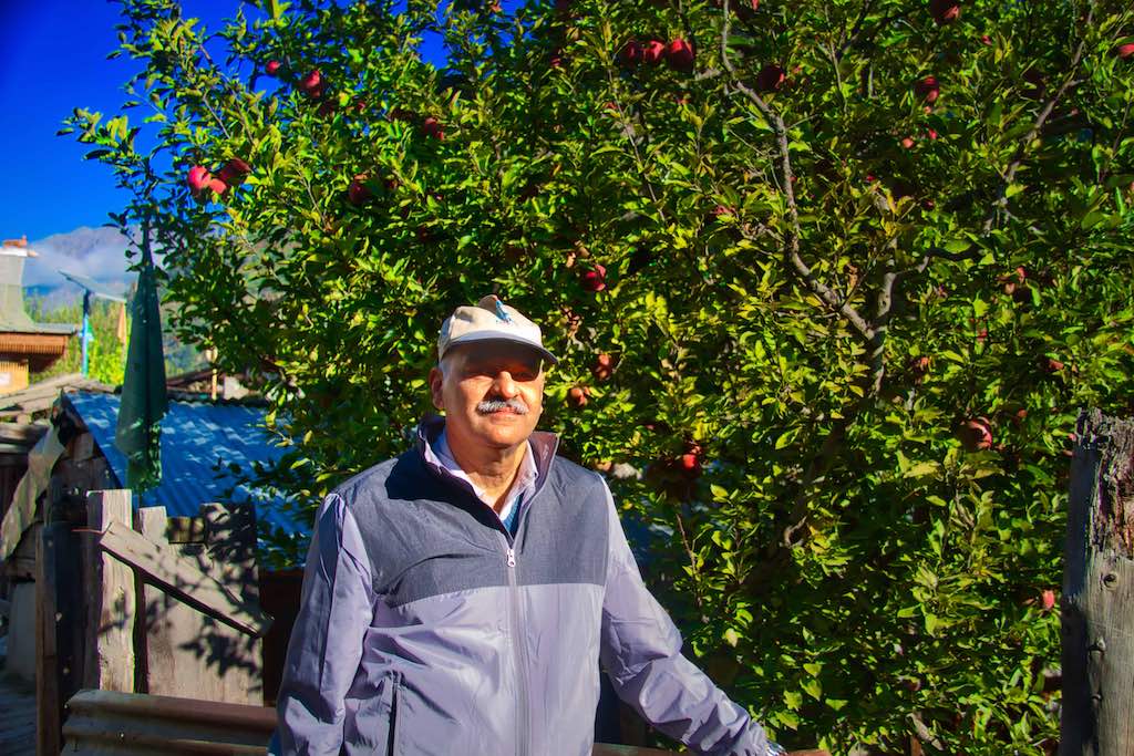
It was imperative to have the yellow apple trees in a red apple orchard as this was required for pollination. The other alarming fact was that bees required for this purpose were slowly getting scarce due to overuse of insecticides and had to be brought from outside during the season to ensure a good crop.
Batseri village is famous for the Badri Narayan Temple. The carved wooden temple in the village is a beautiful temple which was clean and well maintained. The temple is to the left as one enters the village.

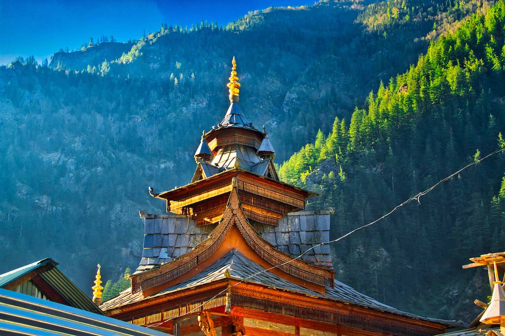
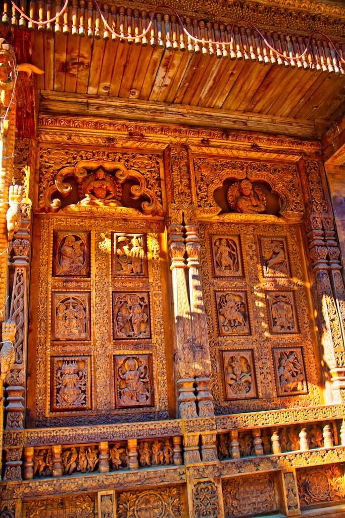
The original temple was built in the 15th century but the existing temple was painstakingly rebuilt by the locals after a fire gutted the original temple in 1998. Surprisingly, the murti of Badri Naryana escaped the fire and continues to be the presiding deity. The heavily carved front facade of the temple is striking.
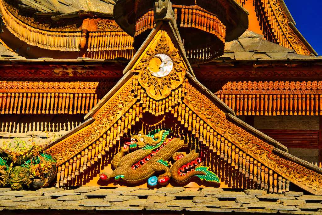
But the real uniqueness of the temple lies in the fact that the carvings encompass all major religions – having panels of Swami Vivekananda, Jesus Christ, Mahavir, Buddha and Guru Nanak. A door that truly unites all religions.

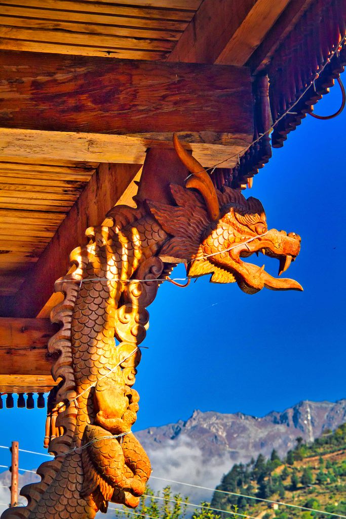
Another unique feature was the use of slate tiles in the construction of the roof. Not only in the temple, but also on the older houses of the village.

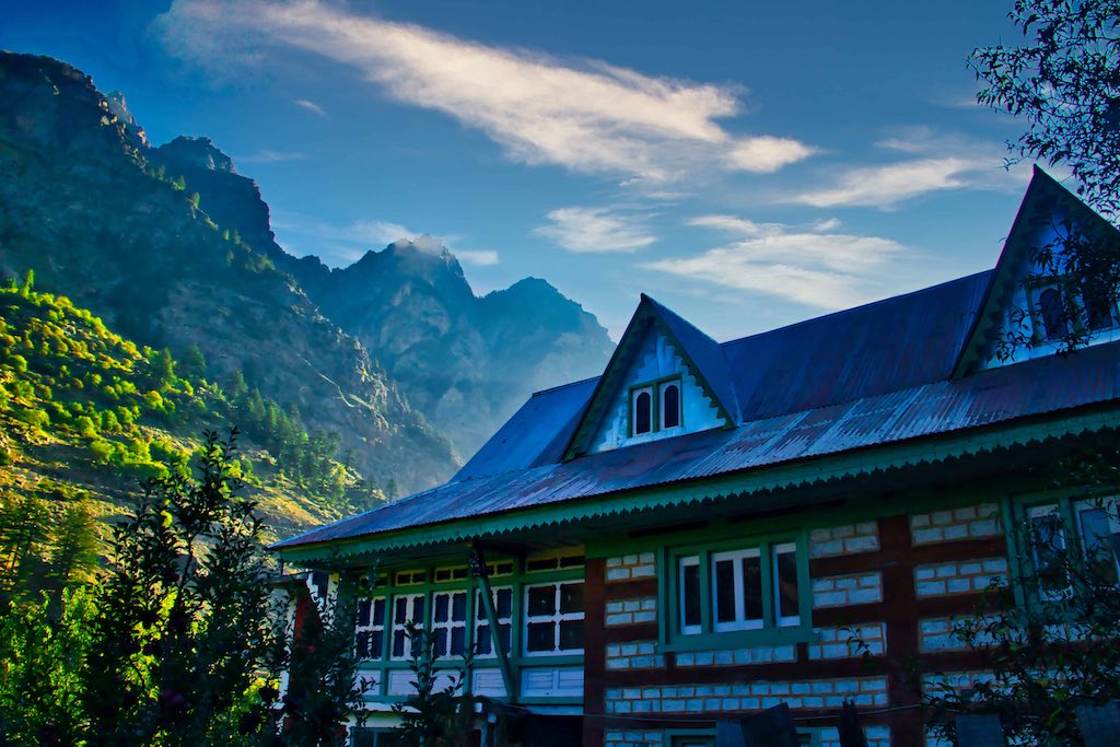
The village itself was clean and well laid out, unlike the overcrowded hill stations one is generally used to visiting.
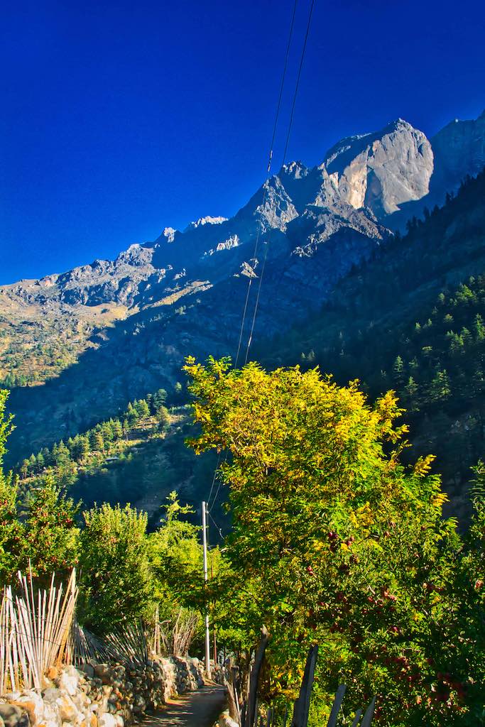
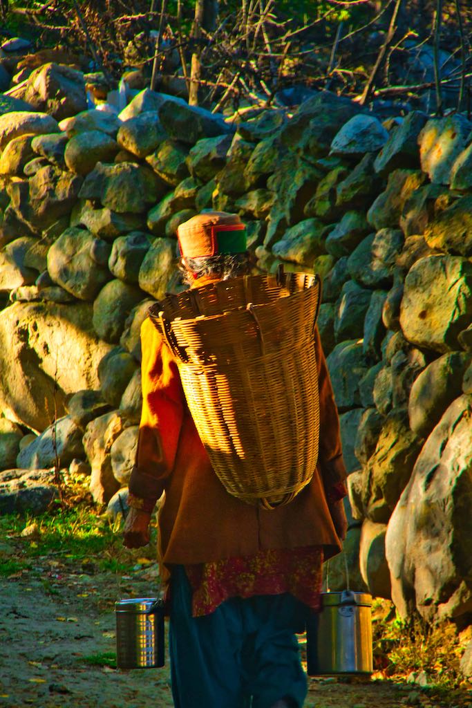
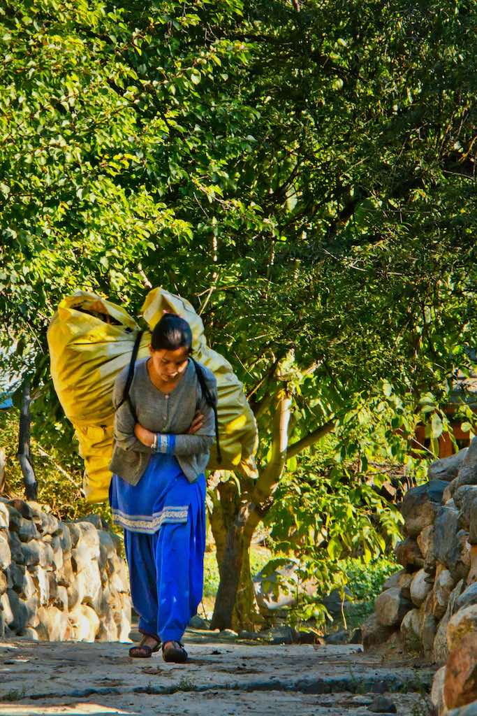
The trek back to the camp was without halts as we were to pack and leave at the earliest. However, with the sun now up in the sky, the colours of the valley were vibrant and enthralled us with their views.


We returned to our camp and after a quick breakfast we loaded up our luggage in the vehicles for the next leg of our journey. Our stay in the camp had been short but was excellent. We hoped that one day we would be able to return for a longer, relaxing stay.
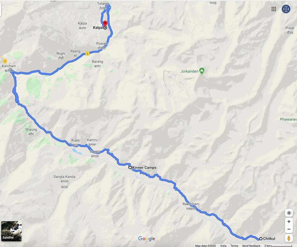
A long day was still ahead of us. We took a last look at our camp from the road above it as we set off towards Chitkul.
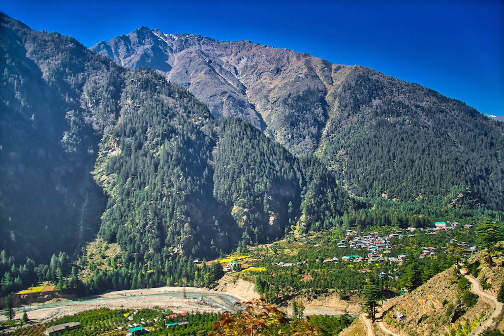
The road to Chitkul, the last village before the Indo-Tibetan border, was not in good condition. Mostly not black-topped, towards the end some portions the road vanished and we were driving over boulders.
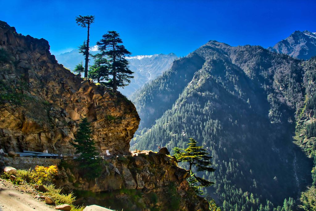
Though a distance of only about 20 km, it took us well over an hour to cover this bumpy drive. But the scenery more than made up for the road conditions! However, the short drive was not without adventure. Soon after starting from the Camp, the second Innova had a tyre puncture. We had a forced halt for the tyre to be changed, while we enjoyed the awesome views on both sides of the Bapsa River valley. We were now without a spare tyre!
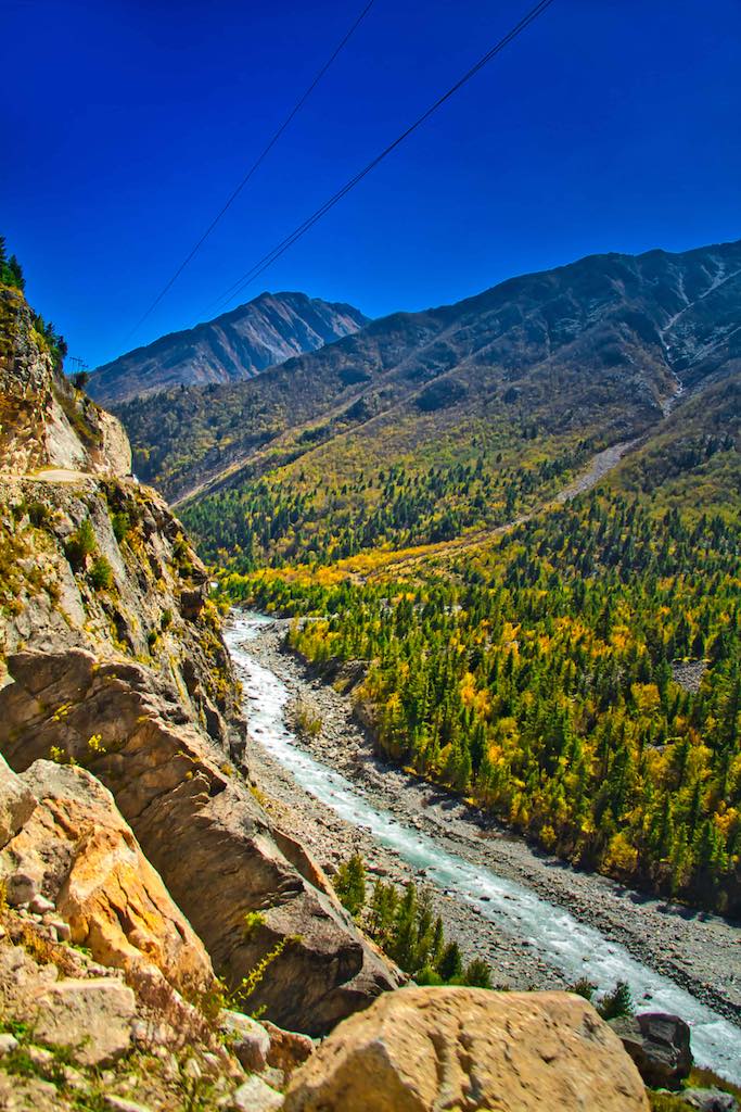
The route to Chitkul was frequented by landslides and avalanches during winters. One saw huge boulders lying all across the river valley as a result. With sparse population, it also appeared that road repairs were not a priority here. Though there were some patches being black-topped by a maintenance team.

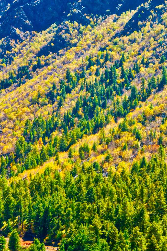
The valley itself was bursting with the colours of autumn and it was a sight to behold! The views for the last half of the journey, after Rakcham village, were stunning. The peaks rising straight from the road on the left, and apple orchards and fields with small habitation clusters across the river in the valley below, which then rose up to the parallel mountain range running alongside.
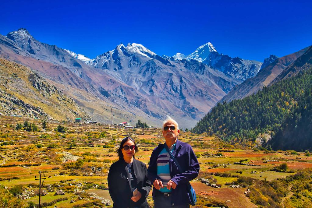
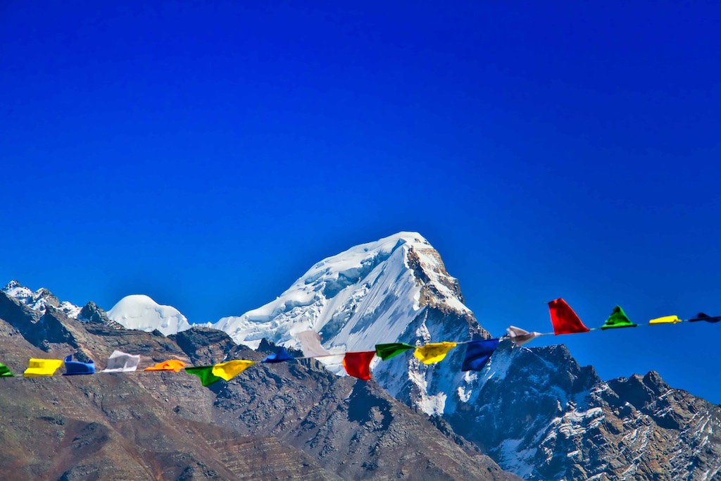
The first view of Chikul appeared suddenly, as we rounded a bend on the road. The view of Chitkul, with Mount Thaula towering over the village, was breathtaking! Red grass covered huge tracts of farmland in the area, besides potatoes and sweet peas, claimed to be the tastiest grown anywhere. The grass is used mostly as insulation material and for heating during winters by the locals.

Chitkul is situated at about 11,371 ft altitude (3450 m) and is the highest inhabited village in Sangla valley. Despite its remoteness, we found mobile connectivity through the ubiquitous BSNL. It is a small village, with a 500-year-old temple to Goddess Mathi located in the centre. She is revered in the area and there is a regular ritual of carrying the deity on foot to Gangotri from here, across the mountains – a long trek!
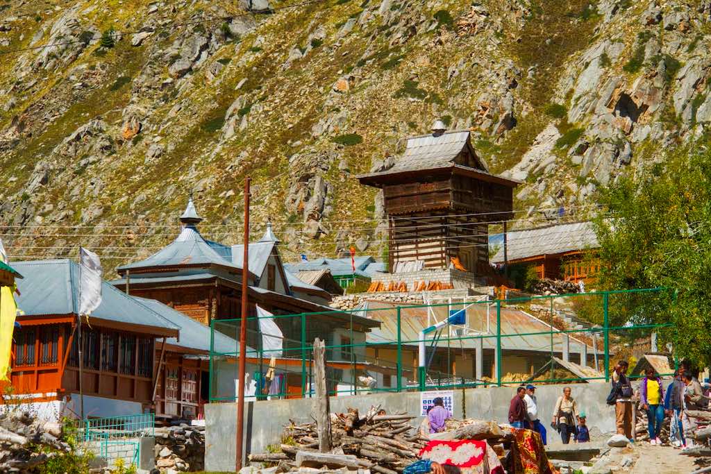
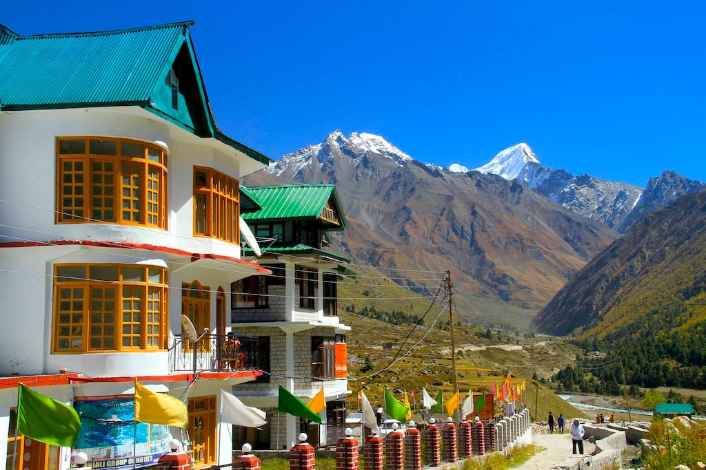
A number of new hotels and homestays have sprouted here due to the influx of tourists.
The local dhaba is famous for its delicious and hot tea and snacks. And proudly proclaims that it is the “last dhaba of India”! It has become one of the tourist attractions not to be missed.
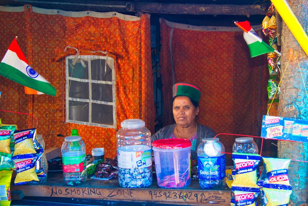
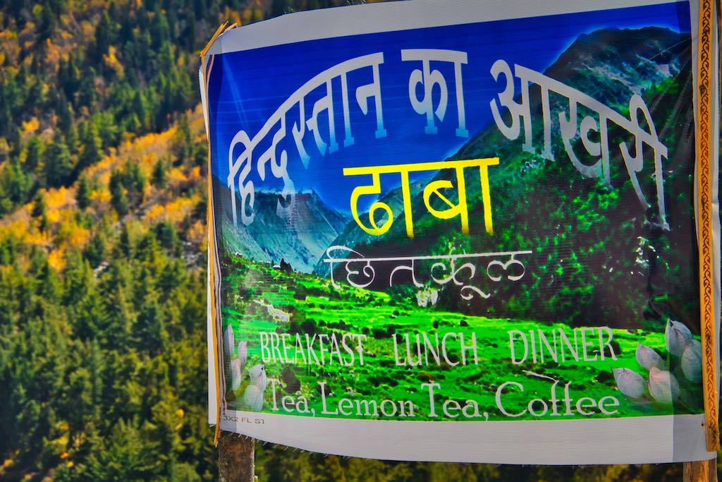
A quick cup of tea at the dhaba, and we took off as we had a long journey ahead of us. Our night halt was at Kalpa and we had to retrace our steps back to Karcham, via Sangla and then follow the Sutlej River northwards. By the time we reached Sangla, it was past 2:30 pm and we decided to take a lunch break as there would be no worthwhile place after this till Reckong Peo.

Most of the places here were closed for Sunday, and after scouting around for nearly an hour, we managed to find a restaurant which was willing to accommodate the 11 of us and provide lunch without too much delay.
The road till Karcham was in reasonable condition, and we had already traversed it. But after that, the road initially was in poor shape, at many places just a dirt track.
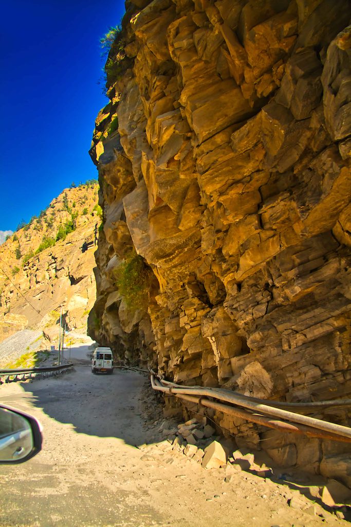
It did improve later and progress was good. We also made our first halt to refuel both the vehicles. Petrol stations were scarce and the one where we stopped was the only one for quite a distance. The journey continued to be breathtaking, along the Sutlej River valley.
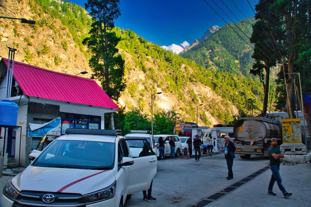
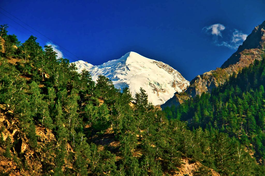
Reckcong Peo is the District Headquarters of Kinnaur, located on the banks of the Sutlej at an altitude of 8,800 ft (2670 m). The town is famous for its scenic beauty and as we crossed it, it was bustling with traffic and tourists.
Kinnaur Kailash range if one of the famous sights visible from here. We made a short halt to withdraw cash from the ATM, probably the last town where one was available till Kaza.
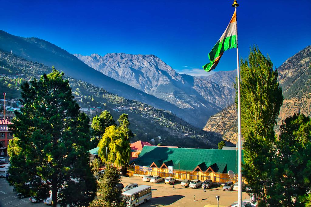
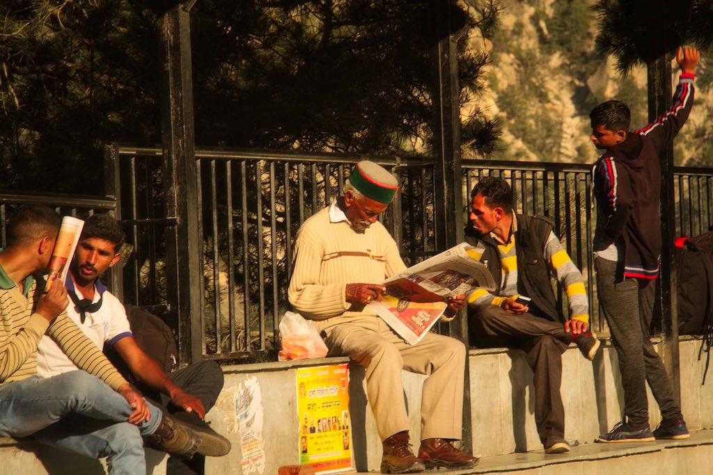
The drivers tried to get a replacement tyre for the one that was punctured as it was well worn but somehow were not lucky. This omission cost us dearly later on.

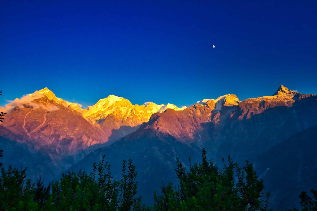
A short drive up the mountain took us from Reckong Peo to Kalpa. And to grander views of the majestic Kinner Kailash range. At 9,105 ft (2,759 m) altitude, it was at a comfortable height, though it was colder climate-wise because of the surrounding mountain ranges.

The earlier District Headquarters of Kinnaur, it lies on the old Hindustan-Tibet Road. The 20,000 ft (6,050 m) famous Kinner Kailash mountain range is home to the mystical winter home of Lord Shiva. There is a 79 ft monolithic rock formation resembling a Shivaling, which changes colours through the day. This is at 4,500 m.
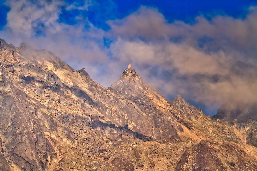
We were lucky to reach in the late evening, just before sunset, giving us the opportunity to view the glorious sight of the snow-clad peaks bathed in the golden hues of the setting sun.

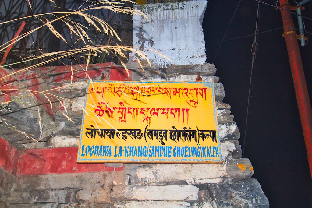
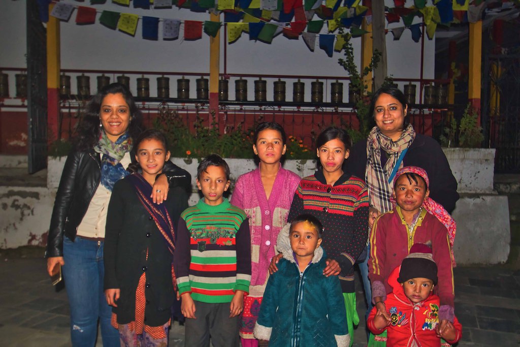
The Buddhist monastery at Kalpa, the Hobulangka Gompa, was founded by the greatest translator Lochowa Rinchen Zangpo (958-1055 AD), who built 108 monasteries during his lifetime, this being one of them. It was destroyed by fire in 1959 and was reconstructed by the locals. After a quick cup of tea, we set off to visit the monastery located in the town, a kilometre down the hill from our hotel.

Day 4
The day dawned bright and clear and I was up before the first sun rays pierced through the valley. The hotel was in an excellent location and provided magnificent panoramic views of the Kinner Kailash range, as well of the Kalpa town and the mountains behind.
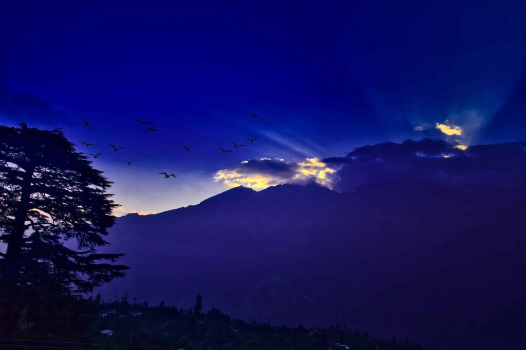
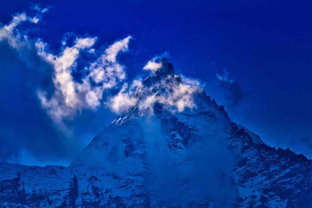
We had been told that the sight of the Shivalinga was difficult to capture in a camera, as it was mostly hidden by clouds. Last evening we had been lucky to catch a glimpse and I hoped I would be luckier today morning. Well, luck did smile, but only in brief, passing moments.
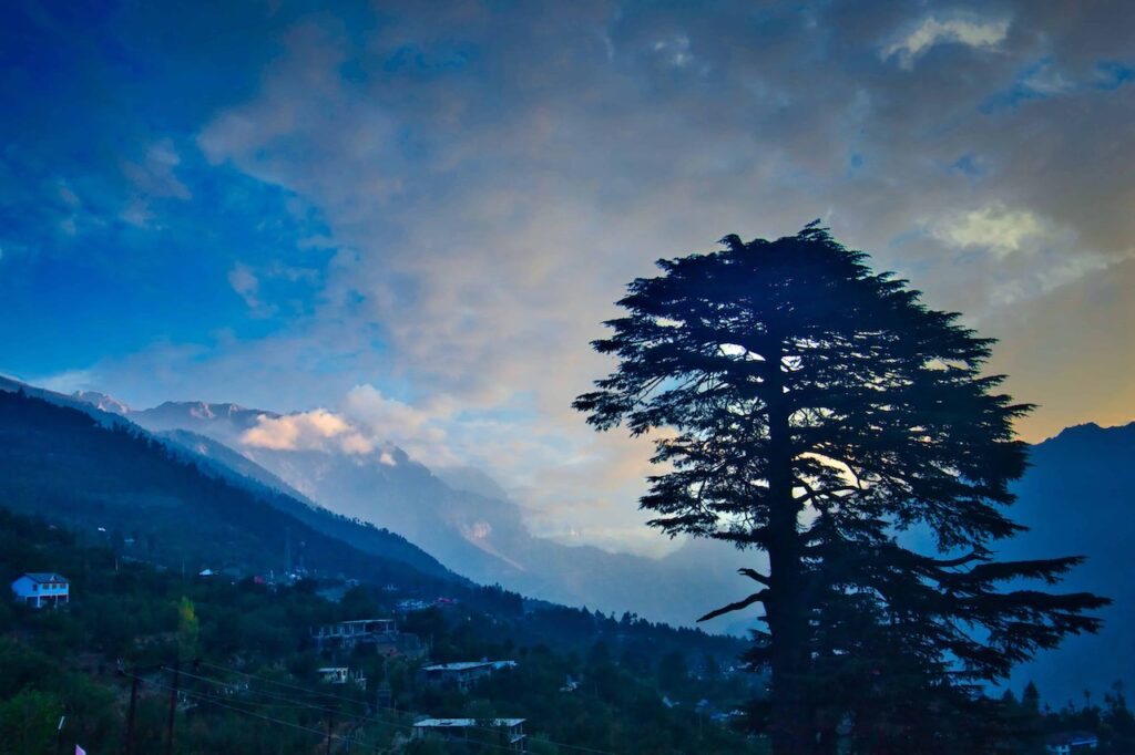
The hotel had a large number of guests and the staff had perfected the art of managing the large numbers – different groups were allotted different time slots for meals. This worked excellently and there was no rush for food nor unnecessary waiting for dishes to be served or for refills. For a change, we were served fresh local apples for breakfast, surprisingly nowhere had this been done till now. Of course, our guide had repeatedly drilled into us that breaking apples from trees was a strict no-no!
We managed to start today’s drive on time. Only a few last-minute glitches – purse left behind in the room, last visit to the washroom, etc etc!! It was going to be a long day!
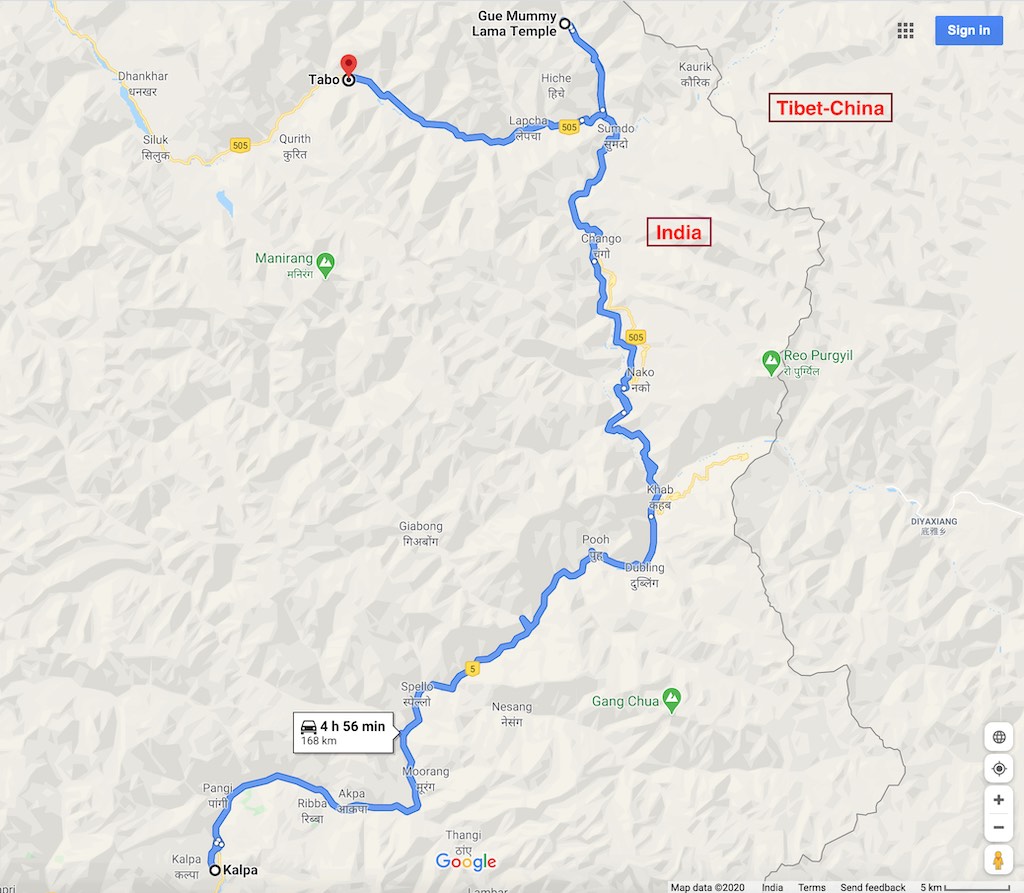
Today we would enter the cold desert regions of the Himalayas. The vegetation slowly became sparser as we travelled and after a while, it was barren terrain we were traversing through. We had to first cross Reckong Peo and turn north along the Sutlej River valley. We got stuck in a traffic jam at Reckong Peo due to the apple season and a line of trucks were loading apple crates, hindering traffic movement. That was a priority in these areas, so we just waited for about 45 minutes till road space was available. One point to note about drivers in these areas was their eternal patience. Wherever we had faced any traffic jams, there was no honking or signs of impatience. They just got out of the car and sat down by the roadside, in no apparent hurry.
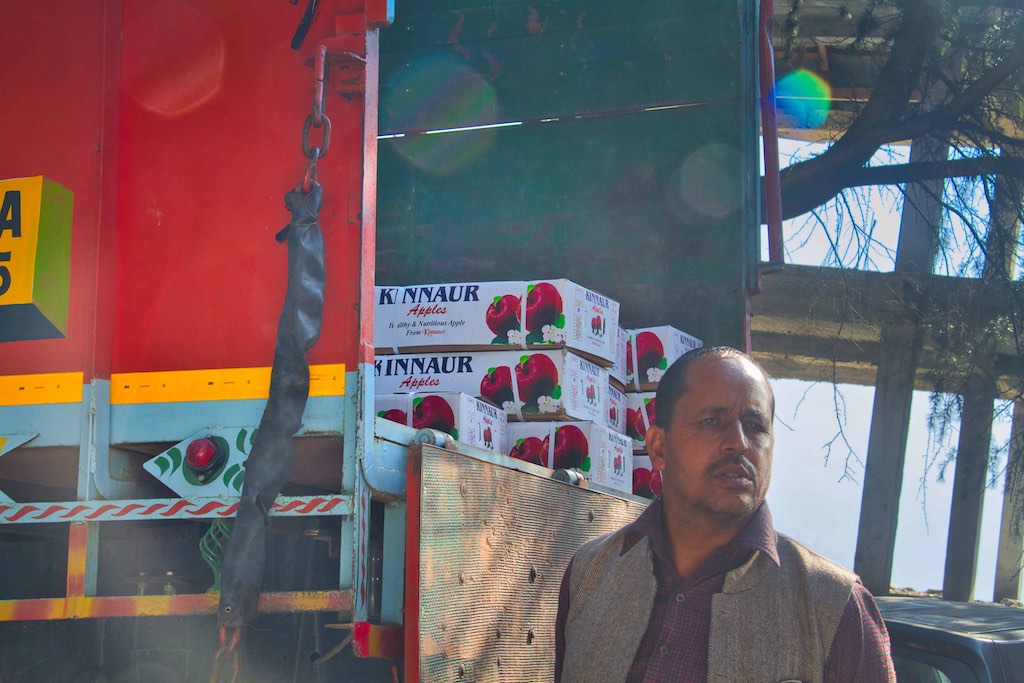
Soon after crossing Reckong Peo, there was a BRO detachment along the highway, where we had to wait as the driver of the other car was trying his luck to get a second-hand tyre for his vehicle. Not with much luck, as we soon found out!
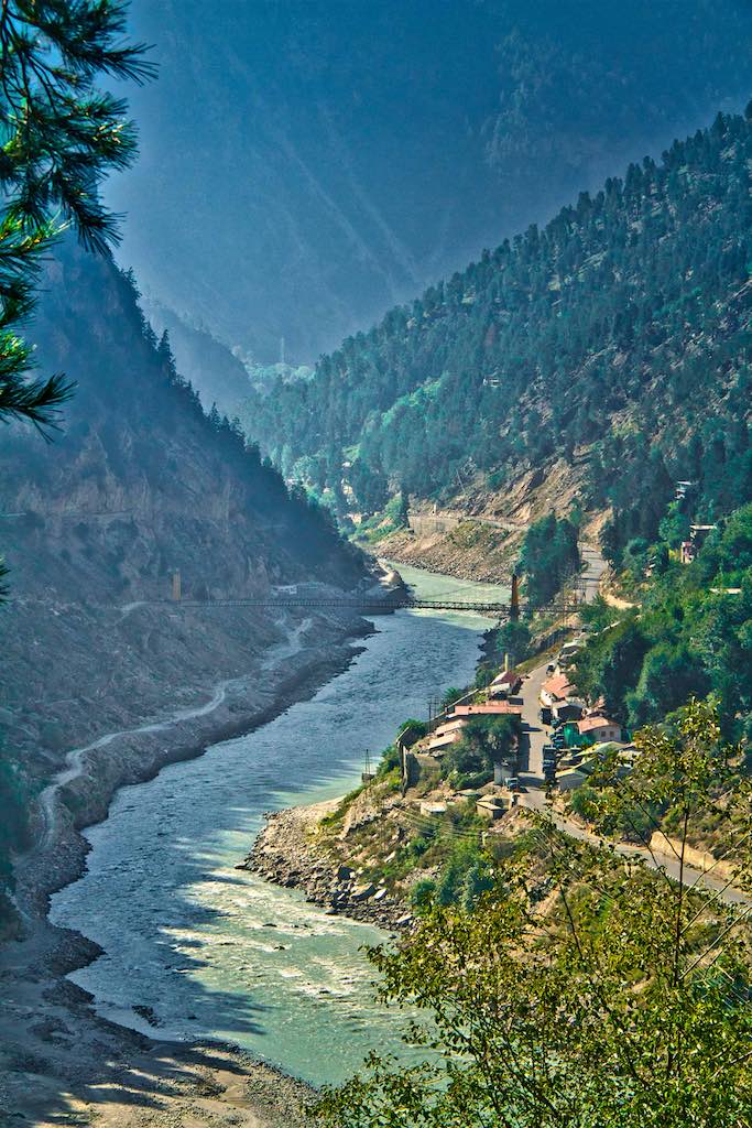
The first biggish town we crossed was Pooh, located along the highway on the slopes of a mountain. Orchards of almonds and apricots provided greenery in the surrounding areas.
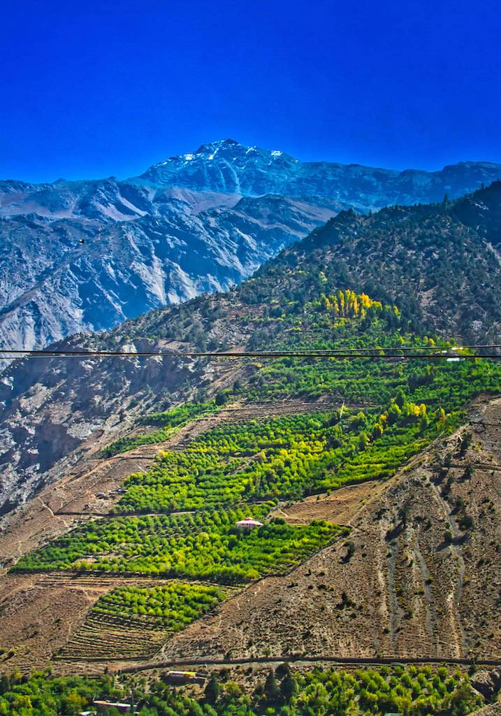
There was an Army camp we passed while crossing the town of Pooh. The landscape continued to provide spectacular sights all along and there was never a moment anyone of us even dozed off for a moment!
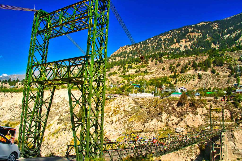
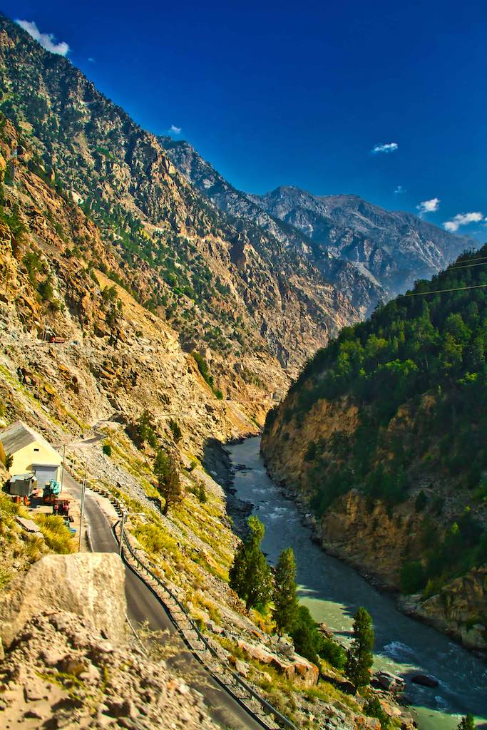
The road follows the Sutlej 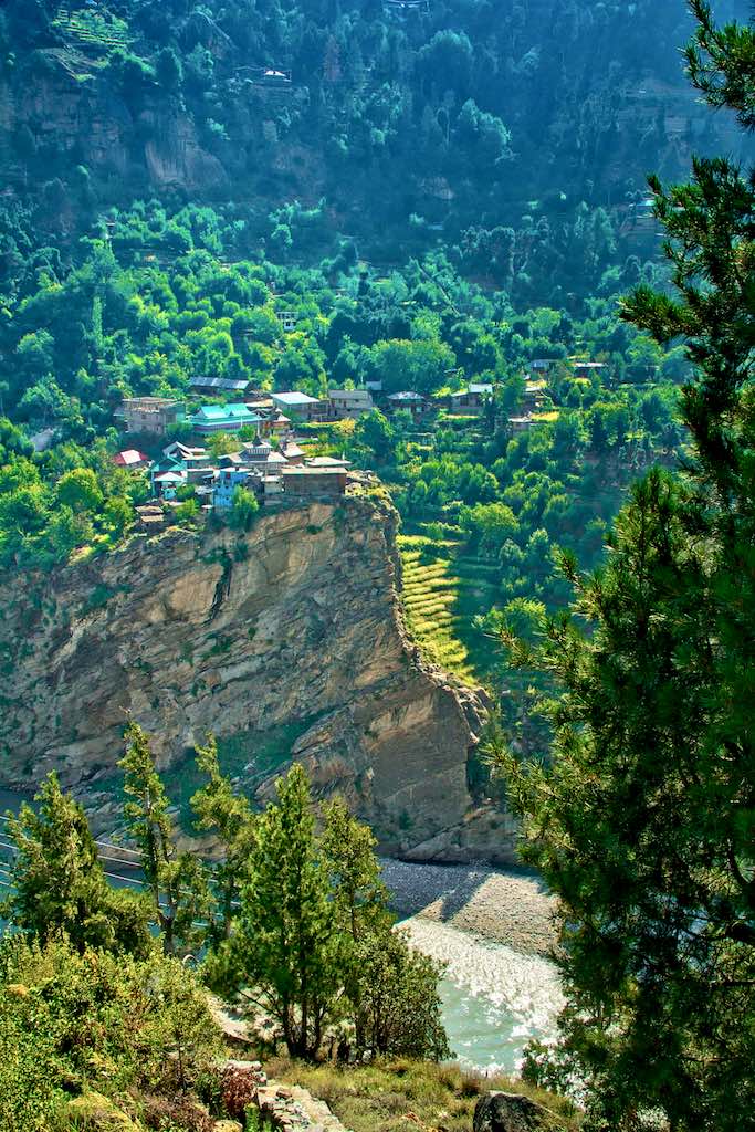
Villages precariously perched on the banks
After crossing Akpa, there was a Inner Line check post, beyond which foreigner are not permitted without permits. For us, our documents were just checked.
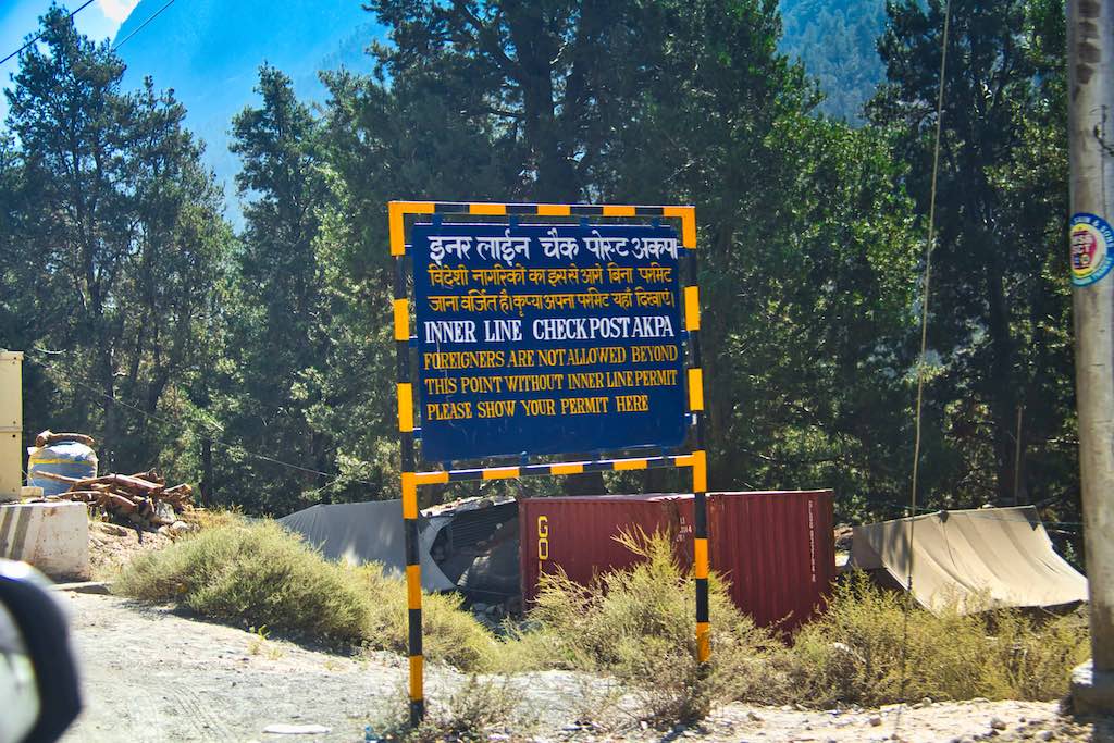
Soon thereafter we were approaching the next town on our route – Spello.
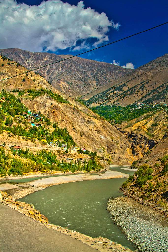
We had a short halt at Spello, a picturesque town along the highway. Inquiries for purchasing local rajma (kidney beans) and dry fruits were not successful as the dealer known to the driver was not available. The halt was anyway welcome as we strolled around a bit and enjoyed the scenery.
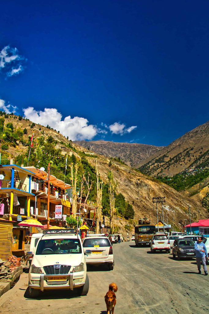

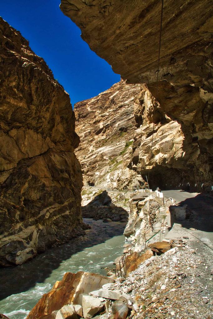
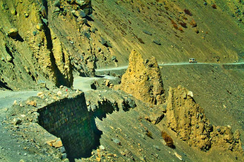
The road along the Sutlej River continued precariously through this portion of the journey. Deep gorges on one side, steep mountainsides on the other, with hardly any crossing space for oncoming traffic. The road was no longer black-topped.
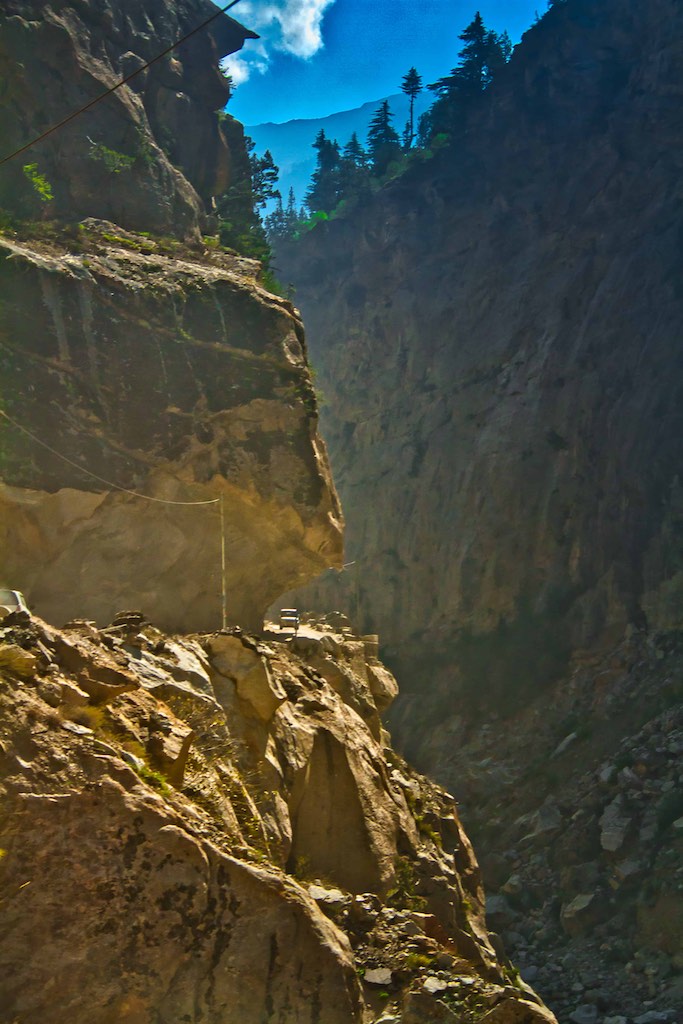
Dangerous roads 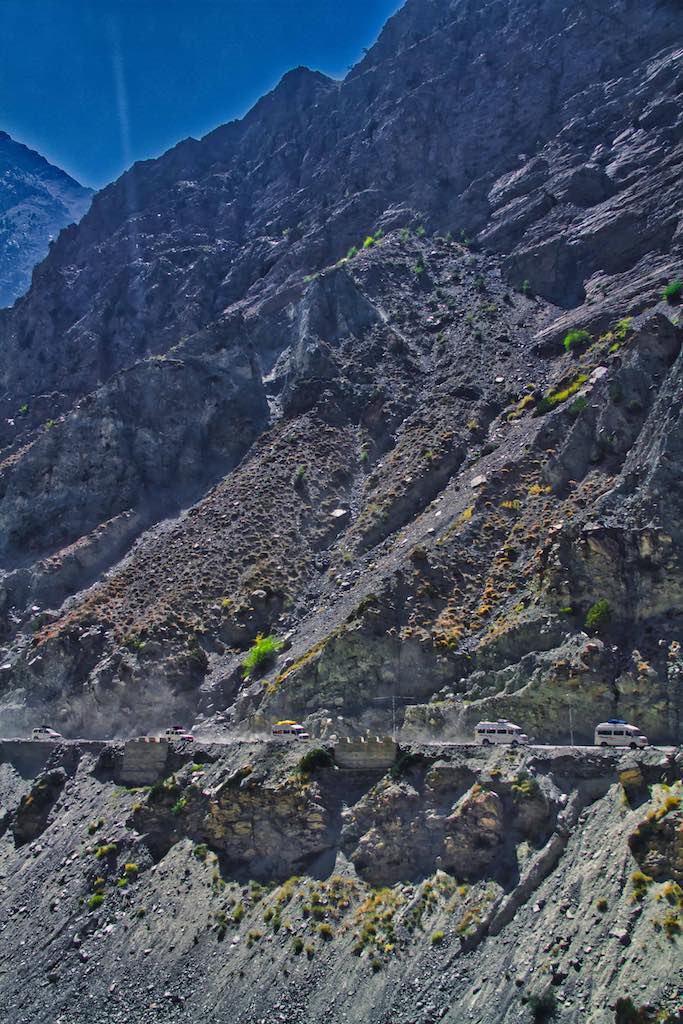
Barren terrain after Spello
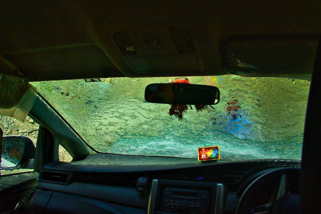
Along the way we came across a natural car wash! The drivers know how to make best use of the natural resources – and an overhang over the road where there was a stream flowing – provided an ideal drive-through wash and cleaned up the car from the drives on long stretches of dusty roads.
Ahead of the branch off for Khab, was the Khab Sangam – the confluence of Sutlej and Spiti Rivers. From here we entered the Hangrang Valley and the road would now onwards would be following the Spiti River.
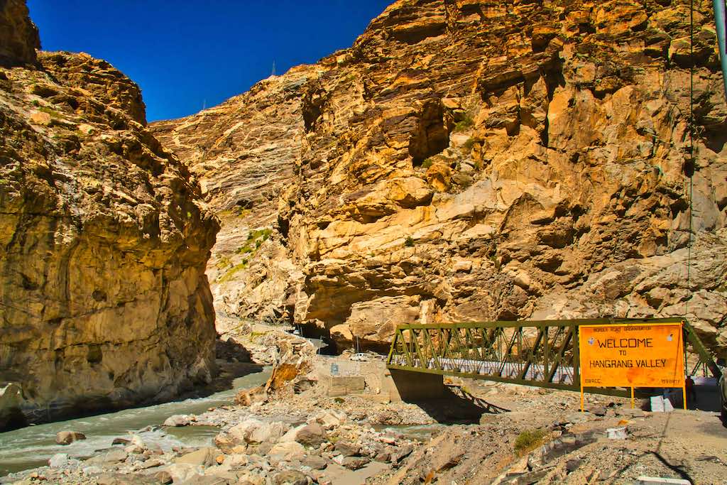
A picturesque spot, the confluence was devoid of any vegetation, but one of the mandatory photographic halts for any tourist passing through.
The Spiti River 
The road along Spiti starts
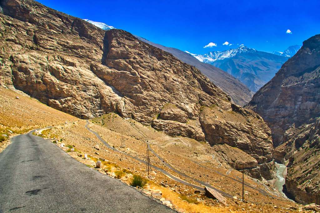
Soon thereafter, the road started climbing up the mountainside, one of those marvels where the road winds up through a series of hair-pin bends, one on top of the other, till we reached Ka village. The views were spectacular as we climbed the mountain – absolutely stunning!
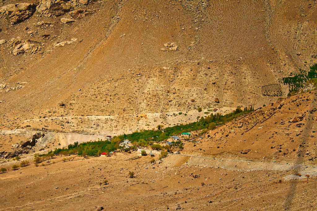
The drive from Ka to Nako passed through a barren landscape, with few small settlements interspersed in between. These were like an oasis in the desert as they were surrounded by vegetation and strips of cultivated fields.
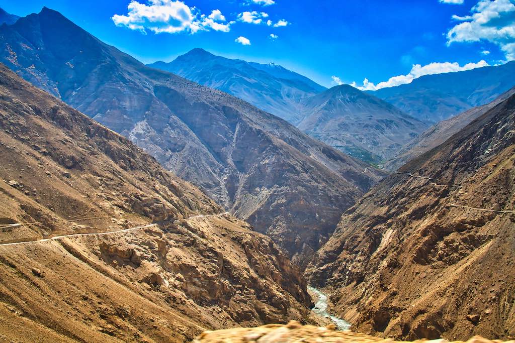
The road follows the Spiti valley 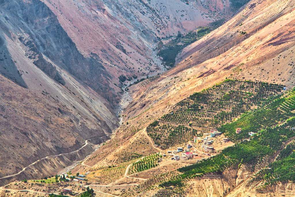
Orchards at village Leo along Spiti River

Nako, at 12,100 ft (3663 m) is situated a little away from the main road. To the east is the Pargial peak. This is the highest village in the valley and the lake in the centre of the village formed out of the masses of the ice and snow above adds to its beauty.
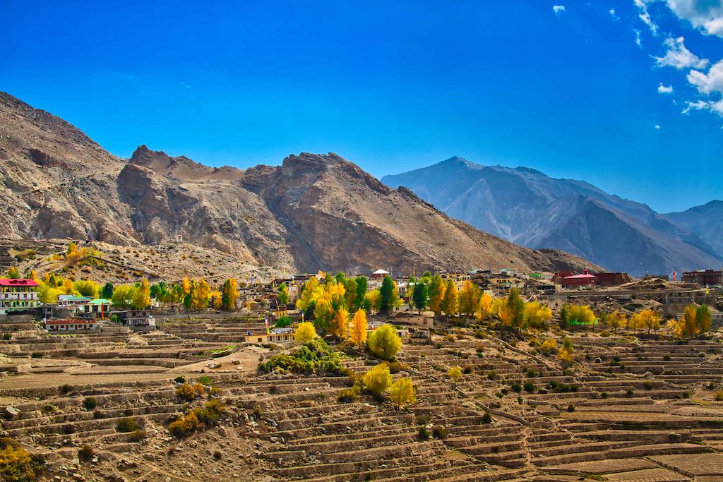

The lake is fringed with willows and poplars which were radiant in the colours of autumn, a beautiful sight to behold.

The lake is surrounded by willow and poplar trees. Near the lake, there are four Buddhist temples. Near this place, there is a footlike impression ascribed to the Buddhist saint Padmasambhava.
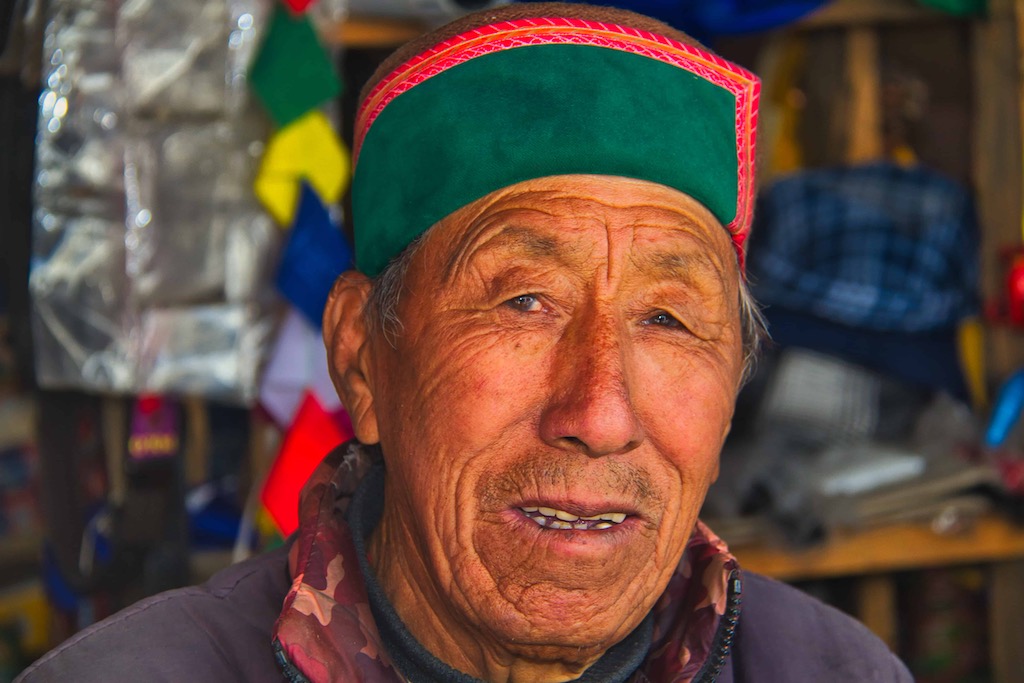
The dhaba owner 
Locals busy post lunch
We had our lunch at a small dhaba along the highway, the Naygo Dwar Dhaba. It also had a small grocery shop and seemed to be a hangout for locals as a game of carrom was underway, with a sprinkling of spectators in attendance. I purchased some khumani dry fruit, which was grown in the area. Lunch was the staple rice, dal, some vegetables and chappatis. Served hot, and delicious despite the plain fare.
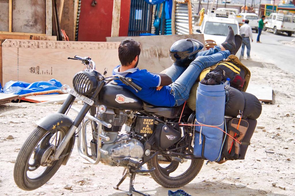
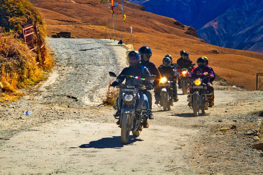
There were a surprising number of motorcyclists we crossed during the trip. In groups and some even alone. Of course, the Royal Enfield rules!
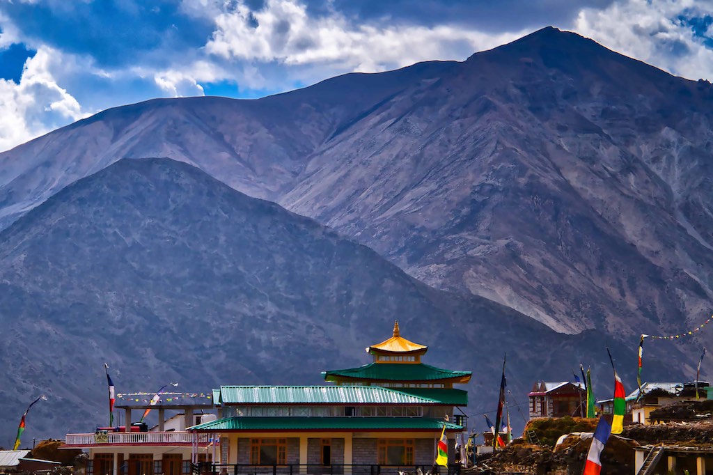
We were soon on our way and the driver continued regaling us with interesting stories. One was how a village we crossed had been named Chandigarh. The Government planned to relocate people after an earthquake, some locals. The place finally allocated to them was named as Chandigarh, since the offer came from the Punjab Government.
Our next stop was at Sumdo, where there was a checkpoint where all vehicles have to be registered.
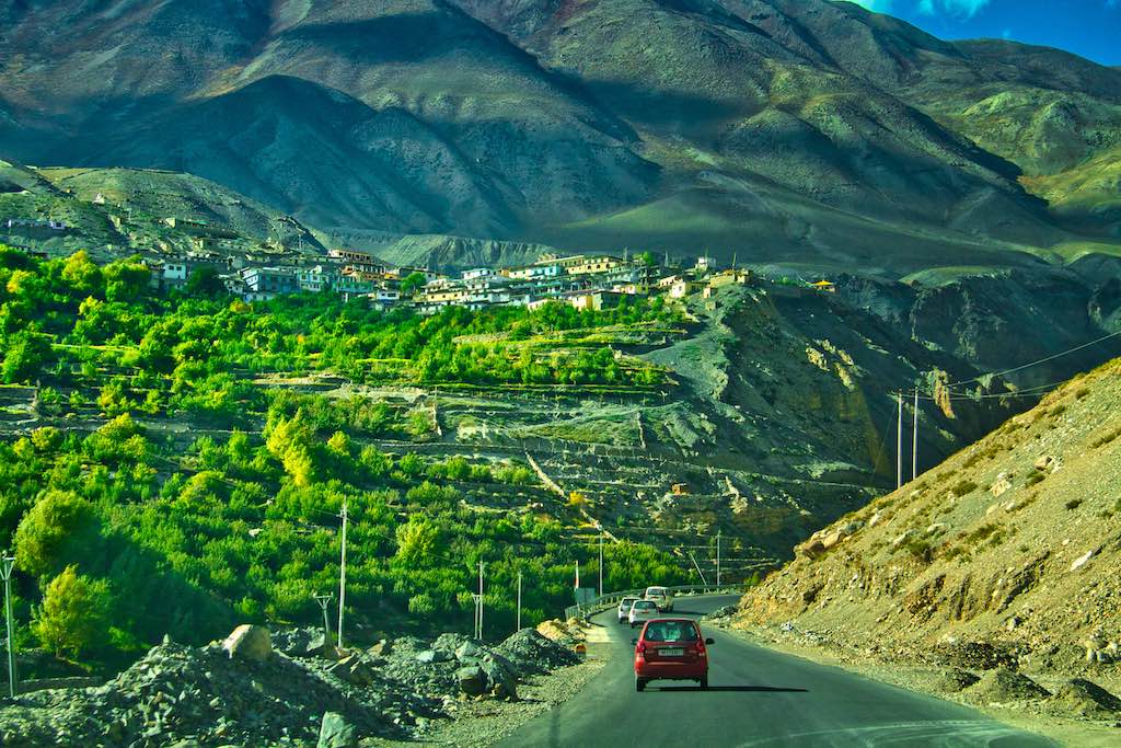
Foreigners required an inner line permit to proceed further. A small town, the “Julley” sign (welcome in local language) finally greeted us to Spiti Valley!
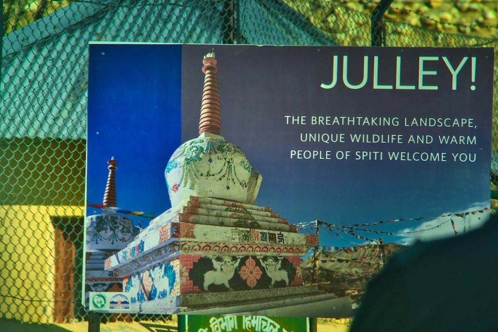
The roads in this stretch were fortunately in good condition and the passing landscapes continued to awe us with their breathtaking beauty.
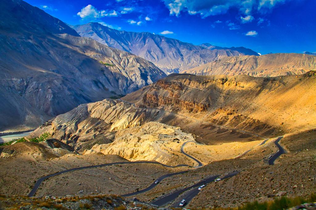
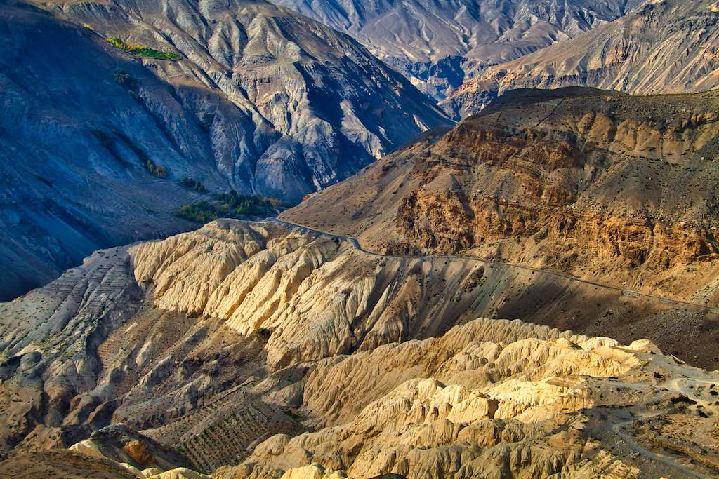
Soon after Sumdo, we branched off from the highway northwards, towards Gue.

When Columbus was just touching down in America, a Buddhist monk was mummifying himself in distant India — to free his village from a plague of scorpions. The monk, or lama, known as Sangha Tenzin is probably the only mummy in India to have undergone natural mummification. A colourful arch invites you into the village of Gue. From here, it’s an 11 km drive along a narrow road abutting the mountains.
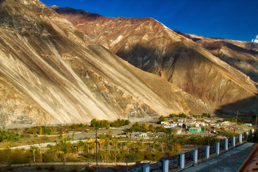
There are hardly a dozen houses in the village and the mountains engulf them from all sides. The last structure in the village, atop a small knoll, houses the mummy.
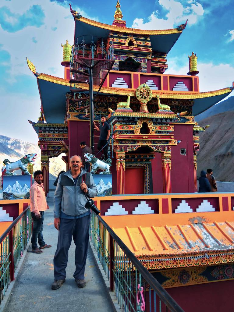
The icy winds set the right temperature for a visit to the mummified lama. Our guide, coincidently also named Tenzin, tells us of how blood oozed out of the ground when people were digging the area to build houses. This led to much fright and furore among the villagers and, on further digging, the mummy was found.

Though the mummy is dated to be almost 550 years old, it still has a certain air of freshness. The lama seems lost in contemplation as he looks over the valley in a sitting pose. Chances are it’s the clean air and cold that contributed to the excellent state the mummy is in — with hair and teeth well preserved.
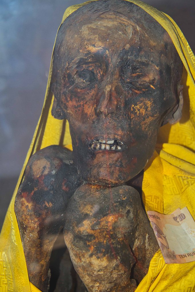
The silk robes on him seem to conceal the tremendous power and will that he must have had to undergo the mummification process. It is believed that when Sangha Tenzin’s soul finally left his body, a rainbow appeared across the sky and the village was rid forever from scorpions.
Natural mummification is an extremely difficult process in which the body is made to react in such a way that body fats and fluids reduce at a constant rate and the organs that can decay are reduced in size. A special diet is given towards the end to preserve the meat on the bone. The body is kept in a posture where the monk can continue to meditate, by using a restrainer around the neck. This esoteric practice is part of the Dzogchen tradition in the Nyingma sect of Buddhism. Northern Honshu in Japan also follows this practice of natural mummification.
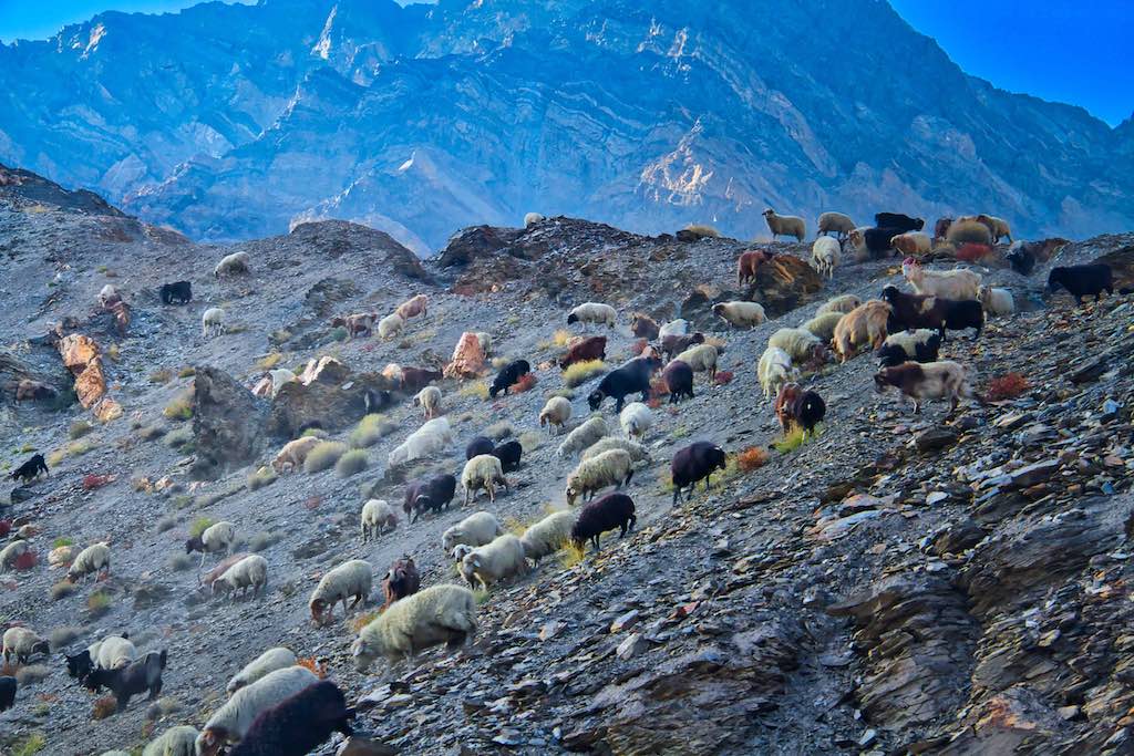
It was getting late evening and we hurried to complete the balance day’s drive to Tabo. A short halt at Hurling, where we enjoyed hot tea in mugs before proceeding further. where we reached just before darkness enveloped the town.

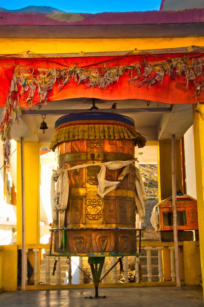
Even a small place like Hurling surprisingly had a magnificent prayer wheel.
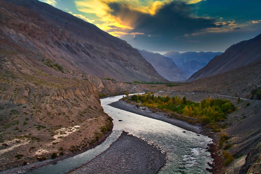
The last leg of he drive for the day was through breathtaking surroundings. It was wondrous to see nature’s beauty to its full extent. Literally, every tun of the road brought new sights till we were overwhelmed.
On the last part of the drive to Tabo, we came across a local couple selling fresh apples along the road side. It was a pleasant surprise when they started conversing in fluent English. They had worked in the cities and now had shifted back top their roots and devoted their time glowing apples in their farm. We got a decent bargain on fresh apples which most of the group bought. During the interaction, the moon had risen above the horizon and there was a scramble to take photos with it as the backdrop, in turns. With the highway all to ourselves in this desolate region.

Our stay at Tabo was at the small and cozy Tiger’s Den, very comfortable and a pleasant surprise in such a remote location! Dinner was served in traditional Himachali style, with seating on the floor around the central heating stove. On our demand for dessert after dinner, the cook came up quickly with a chocolate-Nutella concoction which tasted delicious! We were impressed with his imaginativeness!
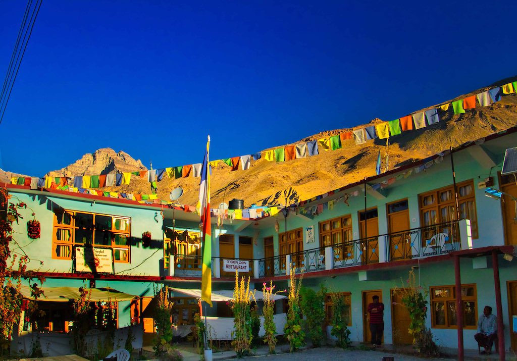
Day 5
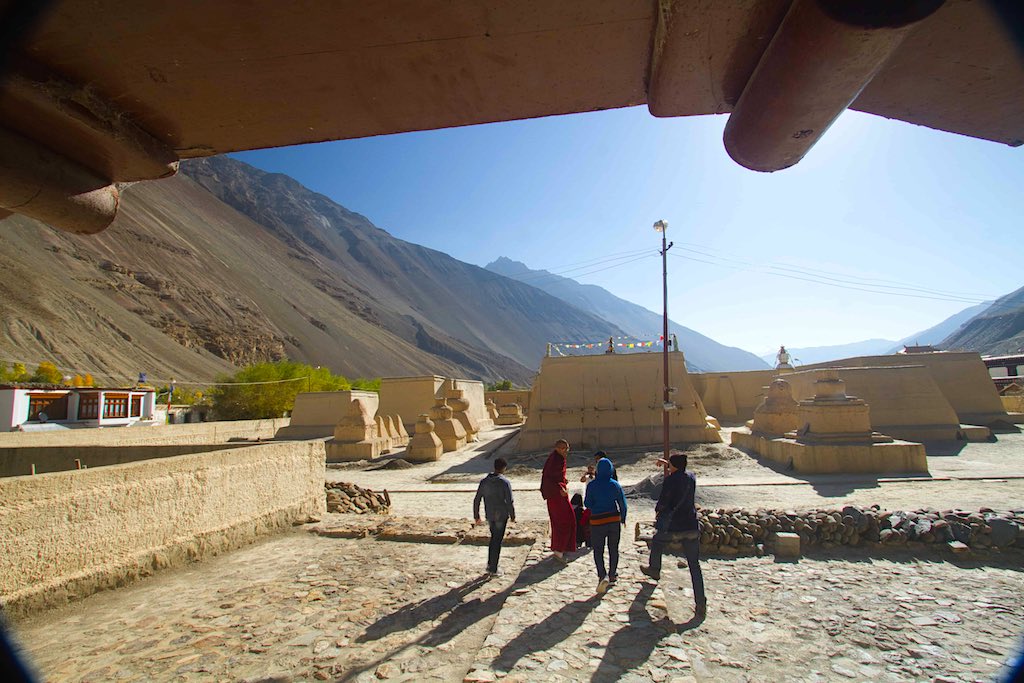
Tabo village and the monastery is situated at the bottom of the valley, unlike other monasteries in the region, which are perched on hills. It is located in a very arid, cold and rocky area at an altitude of 10,010 ft (3,050 m). Above the monastery there are a number of caves carved into the cliff face and used by monks for meditation. The atmosphere here is crisp, with dazzling blue skies and piercing sunlight in the clear, rarefied atmosphere.
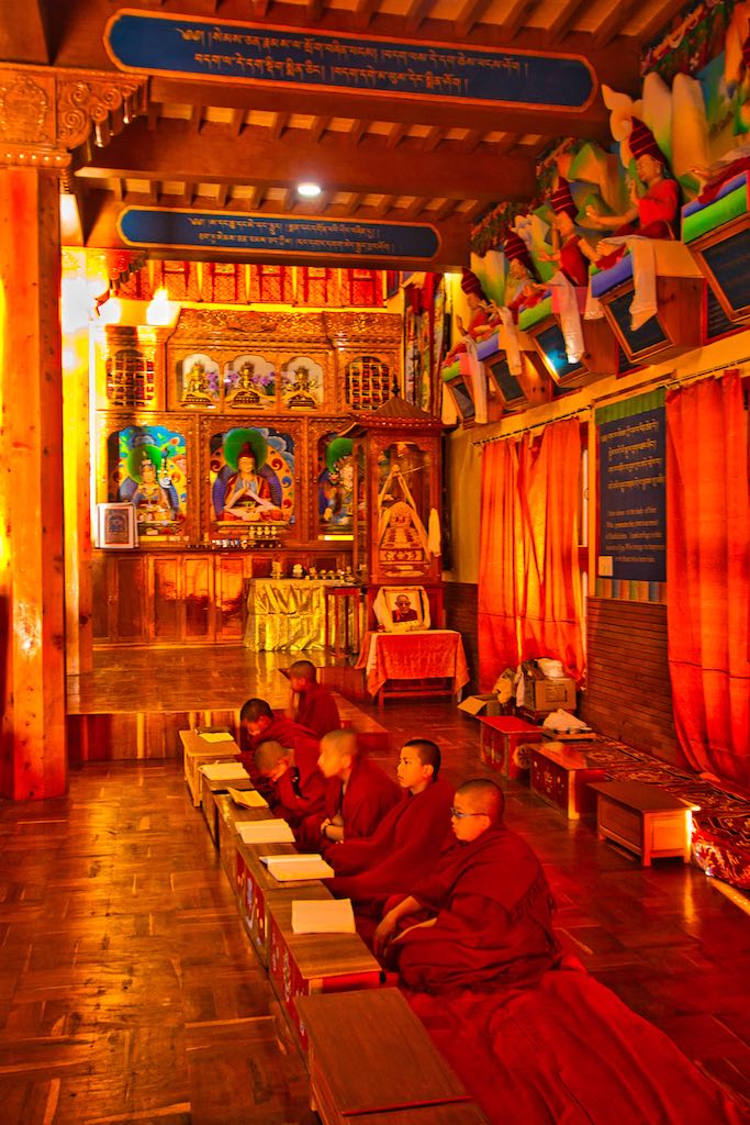
The morning started with an early walk to the monastery before breakfast. A new monastery has been built adjacent to the old one and presently used to conduct daily prayers and has a school for children.
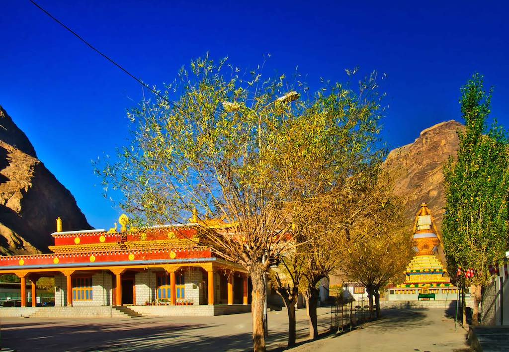
We were fortunate to be able to attend the morning prayers and experience the rhythmic drum beats, a common feature at all such institutions.
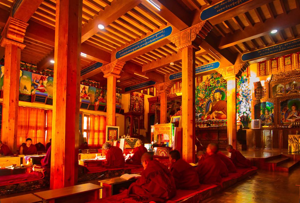
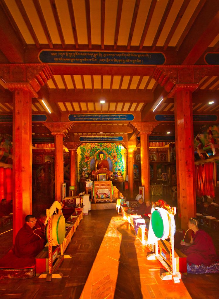
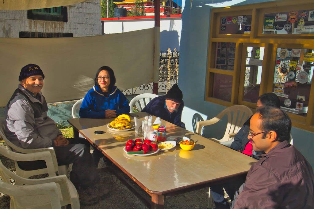
The breakfast was amazing for its variety and taste, something which was totally unexpected. The exotic items laid out were probably due to the large number of foreigners visiting the place.
Tabo Monastery (or Tabo Chos-Khor Monastery) was founded in 996 CE in the Tibetan year of the Fire Ape by the Great Tibetan Buddhist lotsawa (translator) Rinchen Zangpo (Mahauru Ramabhadra), on behalf of the king of western Himalayan Kingdom of Guge, Yeshe-Ö.
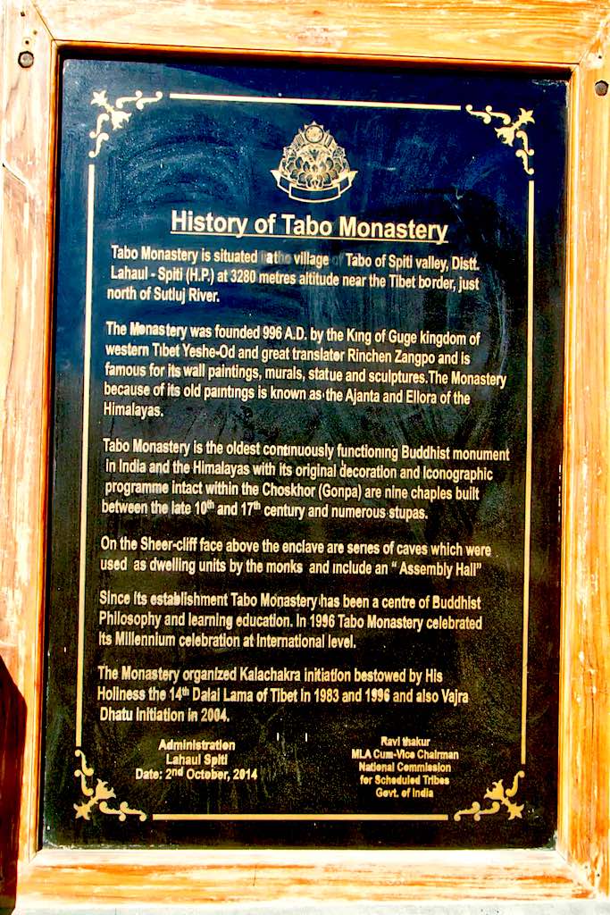
Tabo is noted for being the oldest continuously operating Buddhist enclave in both India and the Himalayas. A large number of frescoes displayed on its walls depict tales from the Buddhist pantheon, earning its nickname as the Ajanta of the Himalayas. There are many priceless collections of thankas (scroll paintings), manuscripts, well-preserved statues, frescos and extensive murals which cover almost every wall. The monastery is now in need of refurbishing as the wooden structures are aging and the thanka scroll paintings are fading. It is also known as the Ajanta of the Himalayas because of the wall frescos.
The entrance to the ancient institution. The monastery is built like a fort, with thick walls around it. That is probably the reason for its survival through centuries of wars and natural calamities.
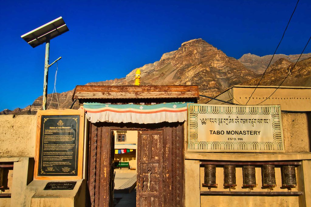
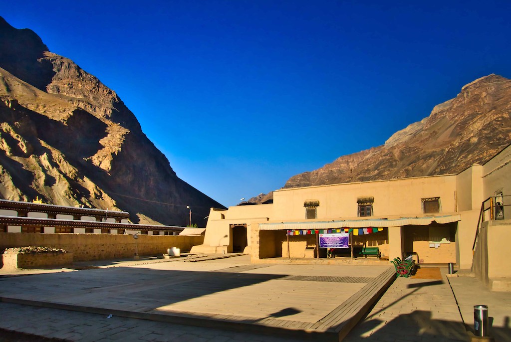
All the rooms (temples) are locked. To visit inside any of them, you have to call the designated monk on his mobile number (written outside the temple). Any tourists entering are accompanied by the monk. A good system to prevent any damage to the treasures inside.
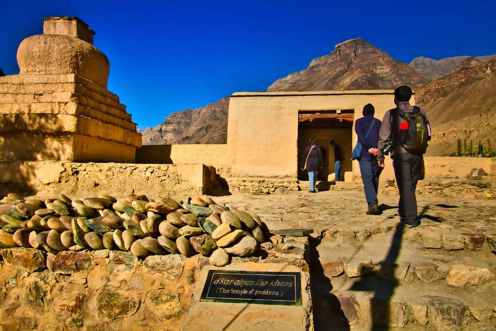
After an early morning visit of the monastery, we were off for our next destination – Dhankar. In addition to its famous monastery, there was a trek to Dhankar Lake, which was looked forward by all of us with great anticipation. At nearly 14,000 ft, it would be a challenge for most!
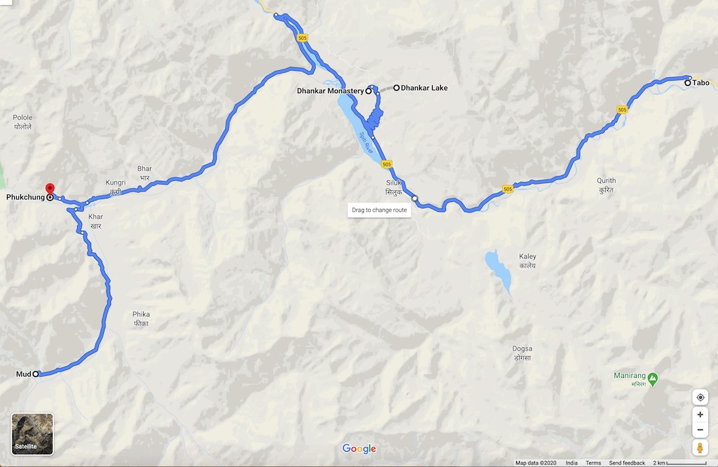
The day’s travel would take us to the beautiful Pin Valley and finally for the home-stay at Ka Phukchung, a farm near Phulkchung. The views along the Spiti River were stupendous – each turn of the road brought forth a gasp of the magnificent vistas as they unfolded one after the other. There are no words to describe them – and photos can depict only a fraction of their grandness!

Early morning we halted at a convenient place from where we could go down to the Spiti River and for the first time all of us got a chance to dip our feet in the freezing waters and enjoy the surroundings.

The road climbed above the river valley to take us to Dhankar, and as we gained altitude the views became even more breathtaking! The first view of Dhankar Monastery was marked by a large prayer flag and gave a beautiful view of the vast landscape, and of the confluence of the Spiti and Pin Rivers.
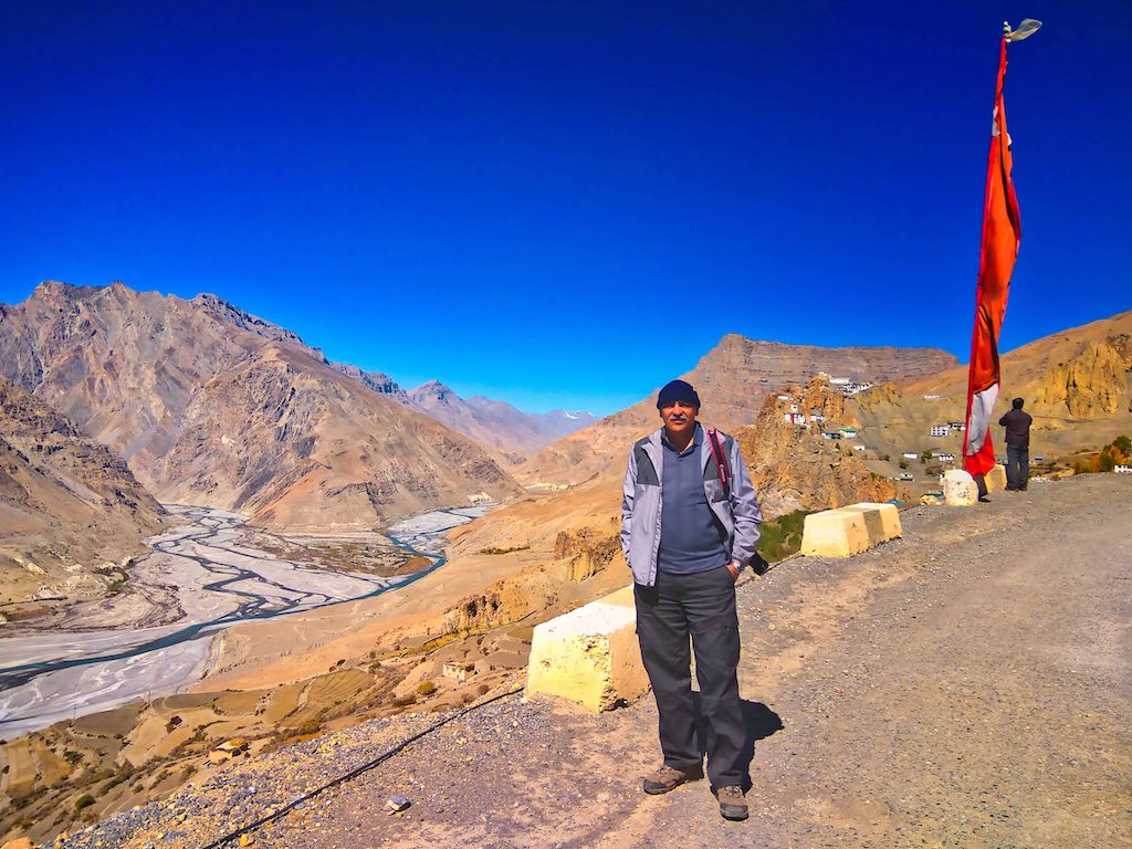
Situated at an elevation of 3,894 meters (12,774 feet), this 7th-century monastery it is located at one of the most picturesque locations in the world, perched precariously on top of an outcrop of Paleozoic rocks.
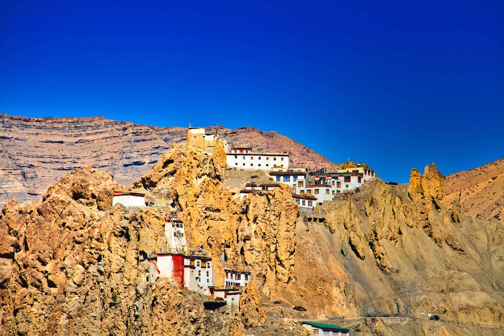
Dhankar was the seat of the erstwhile Kingdom of Spiti and has some features dating back to the 12th century. The Palace is presently disused.
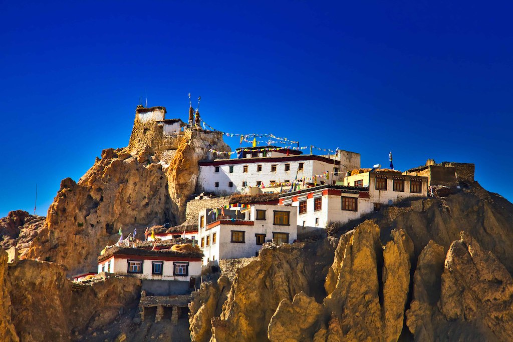
Dhang or dang means cliff, and kar or khar means fort. Hence Dhangkar means “fort on a cliff”.
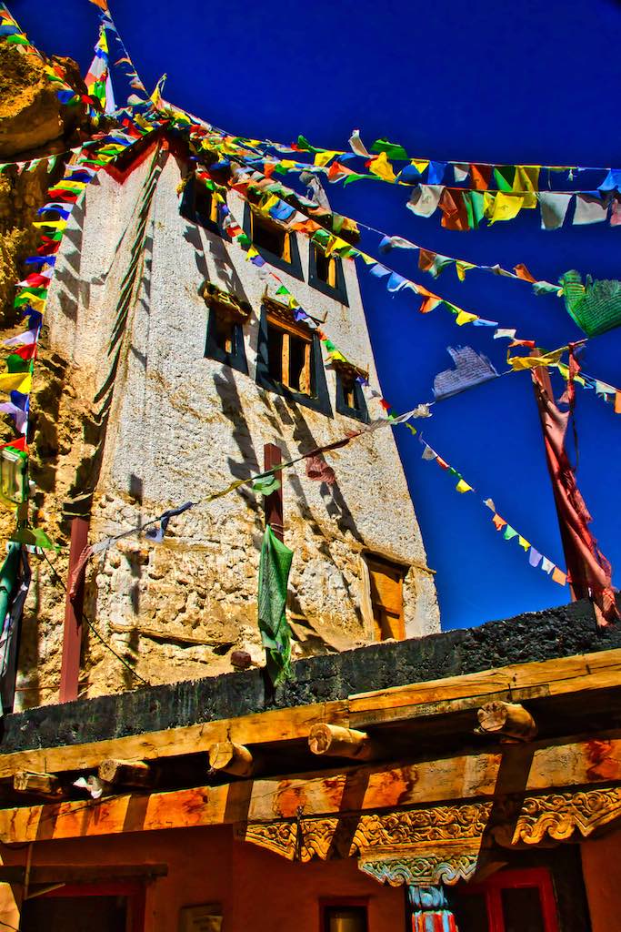
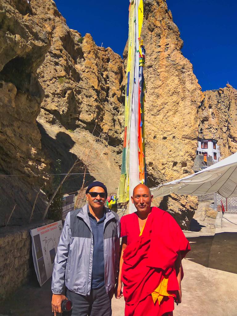
The monastery belongs to the Gelugpa Order of Tibetan Buddhism. The statue of Vairochana or Meditating Buddha’s idol forms the central attraction. The Monastery has ancient murals, thankas, and other ancient Buddhist scriptures that are worth seeing. Photography is strictly prohibited inside. The views from the top are truly spectacular.
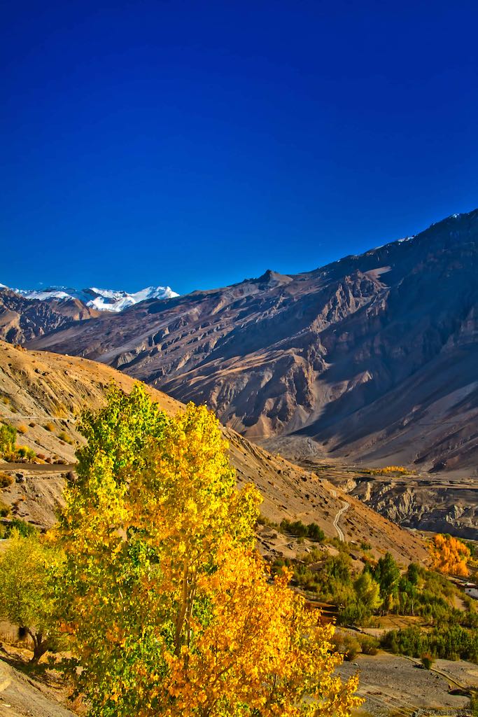
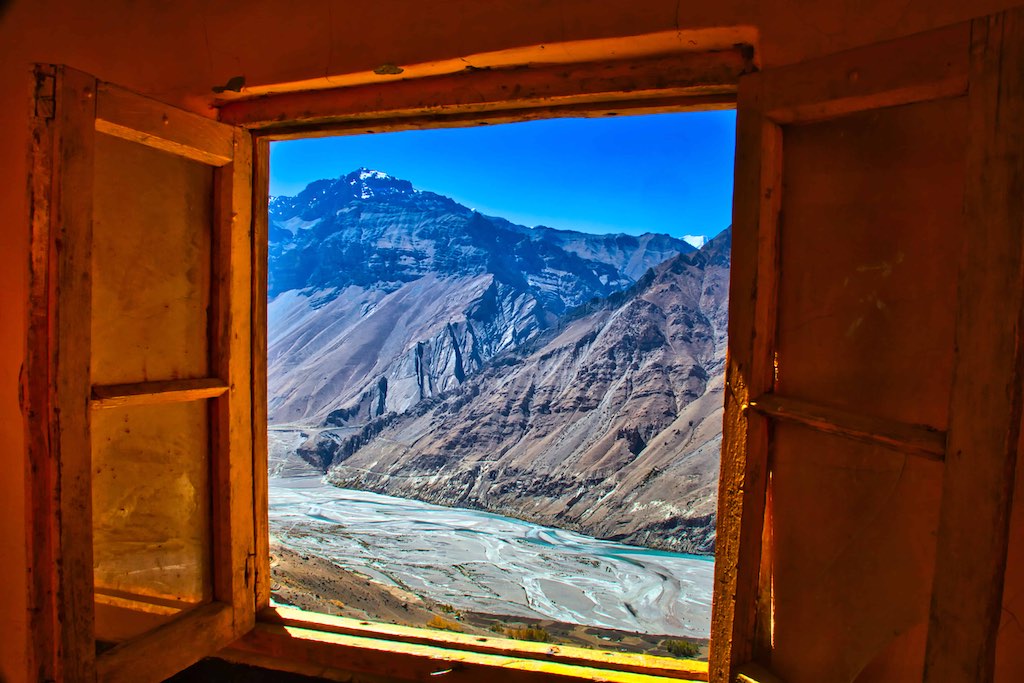
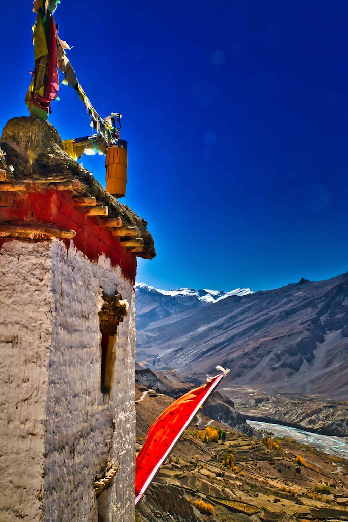
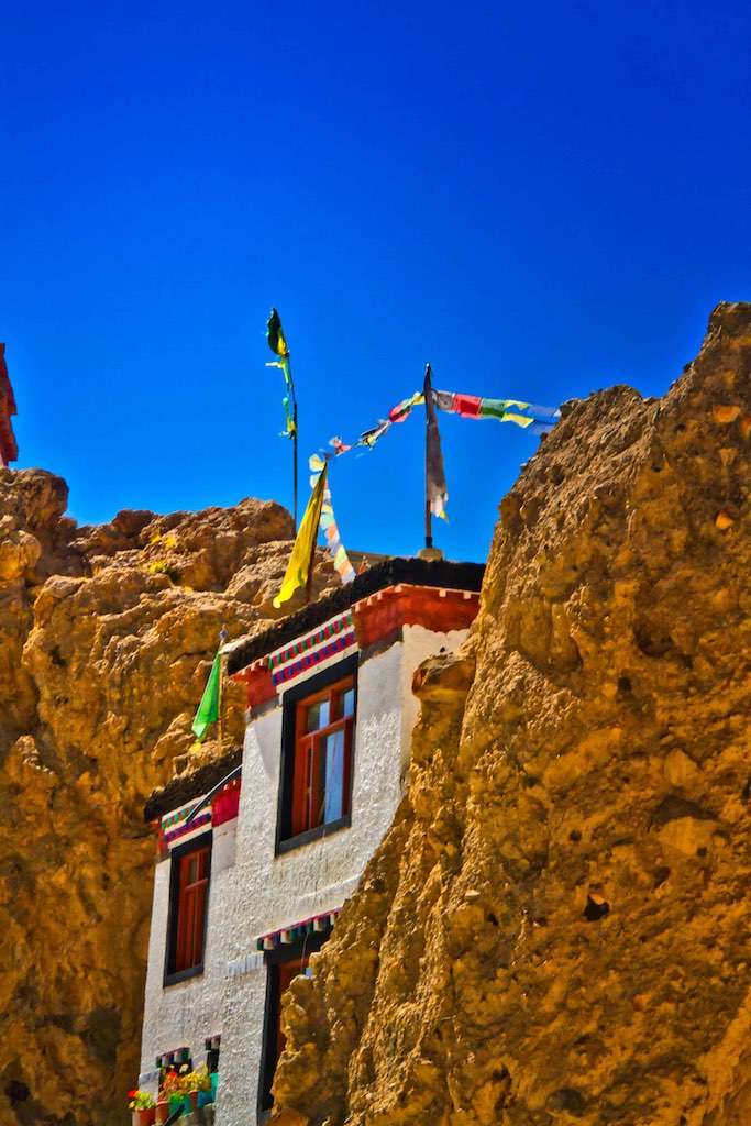
In 2006, the World Monuments Fund selected Dhankar gompa as one of the 100 most endangered sites in the world. A nonprofit group, Dhangkar Initiative, is attempting to organize its conservation.
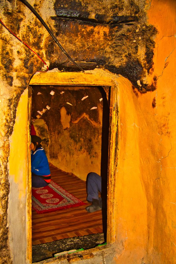
The Meditation Cave inside the monastery, in use since over a thousand years radiates its own charged energy. A few moments spent leaves us with the feeling of getting ‘energised’.
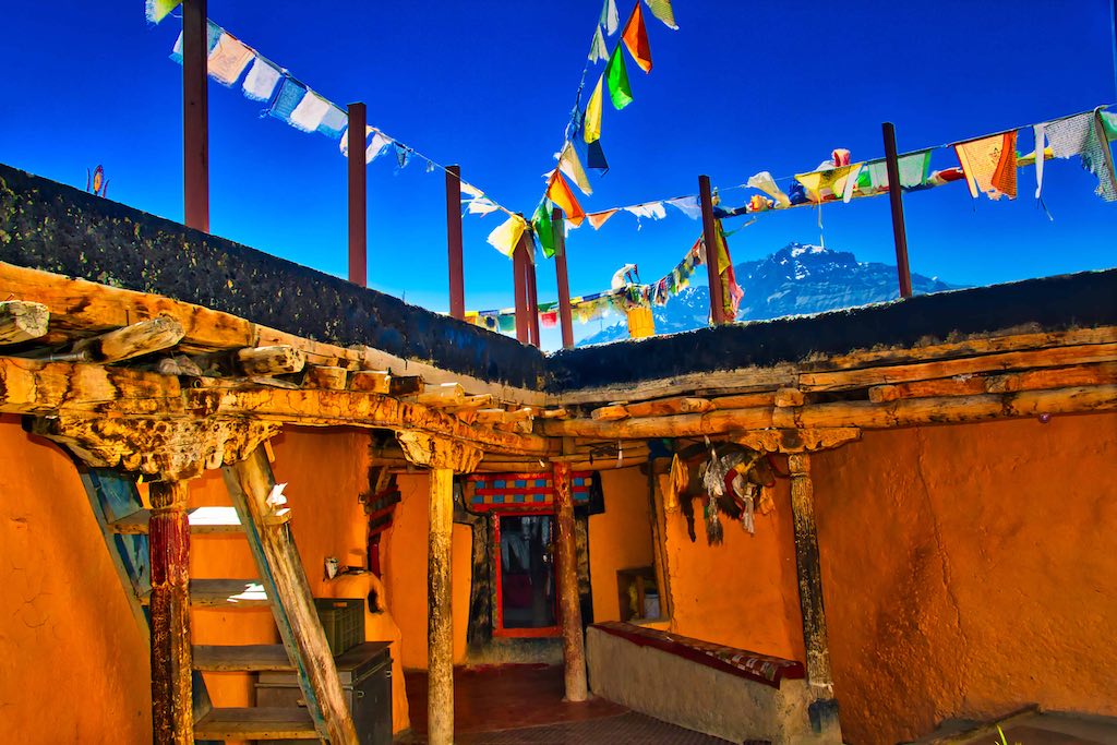
One can see the surroundings from the open terrace. An auspicious preserved yak hangs above the staircase.
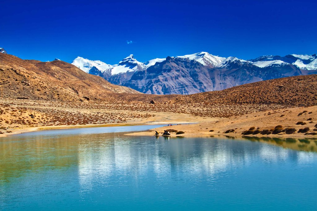
Next was the difficult part! The trek to Dhankar Lake! Situated at 4,270 m (14,091 feet). The 1,300 feet climb over approximately a kilometre and a half was steep and arduous at these altitudes. Time estimates varied from whosoever we asked – from 45 minutes to 2 hours – making any judgement impossible! I had decided not to risk the unknown, but then Vijay and Chitra gave an offer which couldn’t be refused – if one felt any discomfort along the way, we would all stop and return. So yes it was!
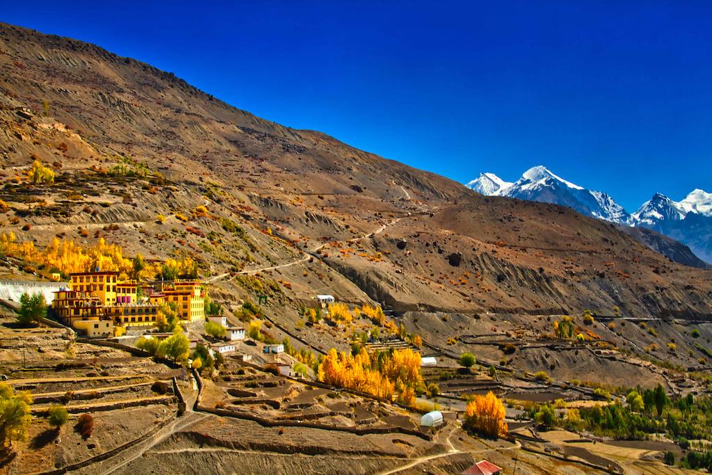
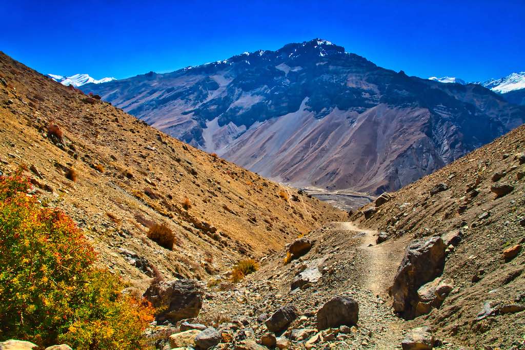
Legend has it that Shiva had visited and stayed at this lake during his quest for Vishnu. While Shiva was busy with his search, his attendant Nandi drank some water from the lake. As a reward for quenching the thirst of this beloved Nandi, Shiva blessed the lake to be filled with plenty of water.
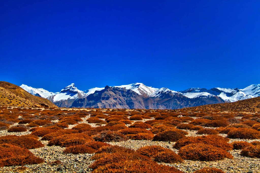
There was an assortment of tourists making the trek. Since this was the “Bengali” season – where tourists were predominantly from Bengal due to their Puja holidays – we came across people in slippers (and no socks), cotton sarees (with just a light shawl as covering) and such surprising gear making the trek.

The track comprised of partly loose gravel and often one nearly slithered on the steep slope on the way down.
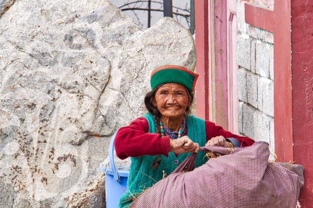
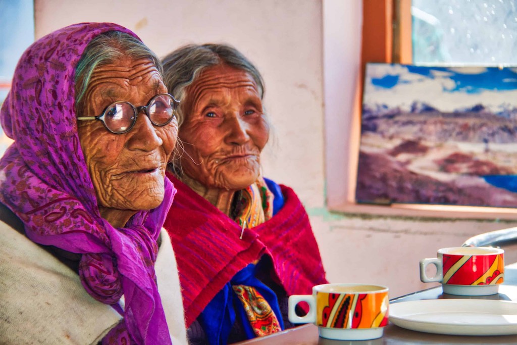
After the exhausting trek, we had a hot lunch at the cafeteria inside the New Monastery. Where we came across two old women who had come for a cup of tea. Though we didn’t understand each other, we did manage to communicate while we waited for lunch to be served.
Post lunch, we were off to one of the remotest regions in India – the Pin valley. Barren and desolate, the valley was famous for Ibex and Snow Leopards. But sightings of these elusive animals required days, and sometimes weeks, of patient stakeouts. And that too, mostly during the winter months. For now, any sighting would be a miracle, which Ram prayed for fervently!
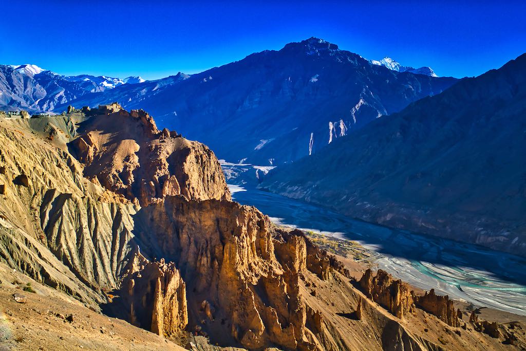
We had been watching the confluence of the Spiti and Pin Rivers since morning. Now we would be driving up the same river valley. The stark landscape along the valley provided for amazing views as we drove along the Pin River. It appeared that the name was derived from the sheer sharp rocks which jutted out of the mountain ranges along the river.

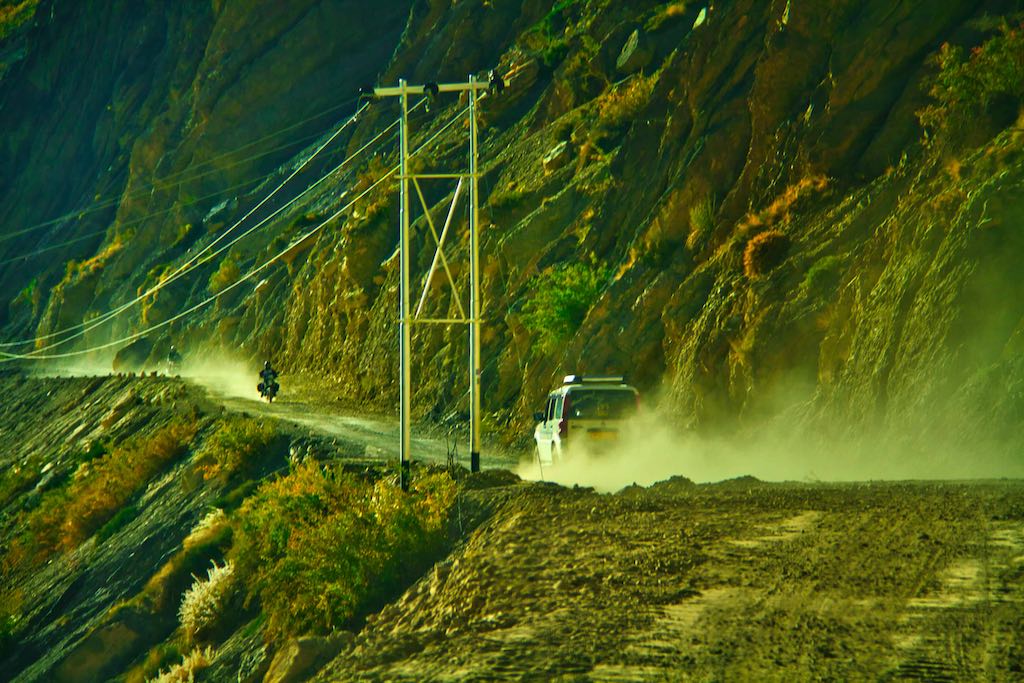
Spectacular views of rugged terrain on both sides of the valley.
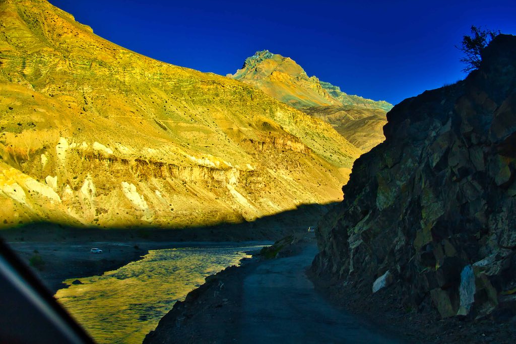
Geological strata tilted at all conceivable angles, including the vertical, bear witness to the immense tectonic forces that created the world’s mightiest mountains.
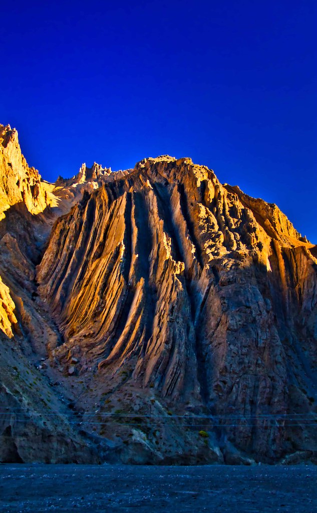
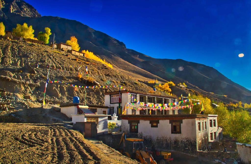
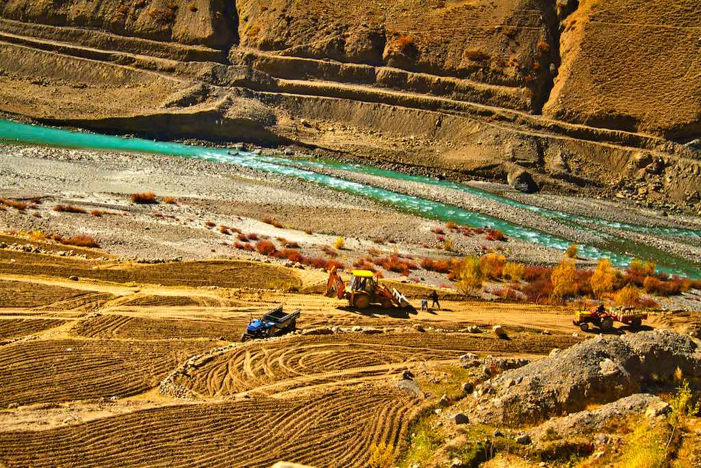
Occasional hamlets crop up along the route to provide colour to the otherwise stark landscape. One of the striking features I saw in Himachal, even the remotest house had electricity connection and at least a track leading to it. And of course mobile connectivity through BSNL! A mark of the government’s work in the remotest areas.
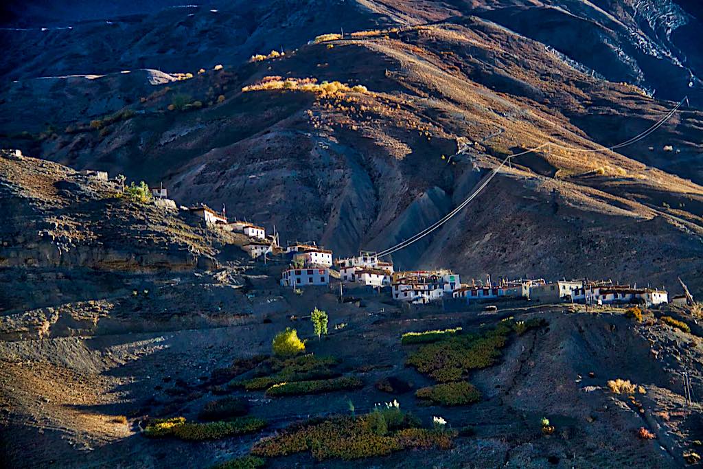
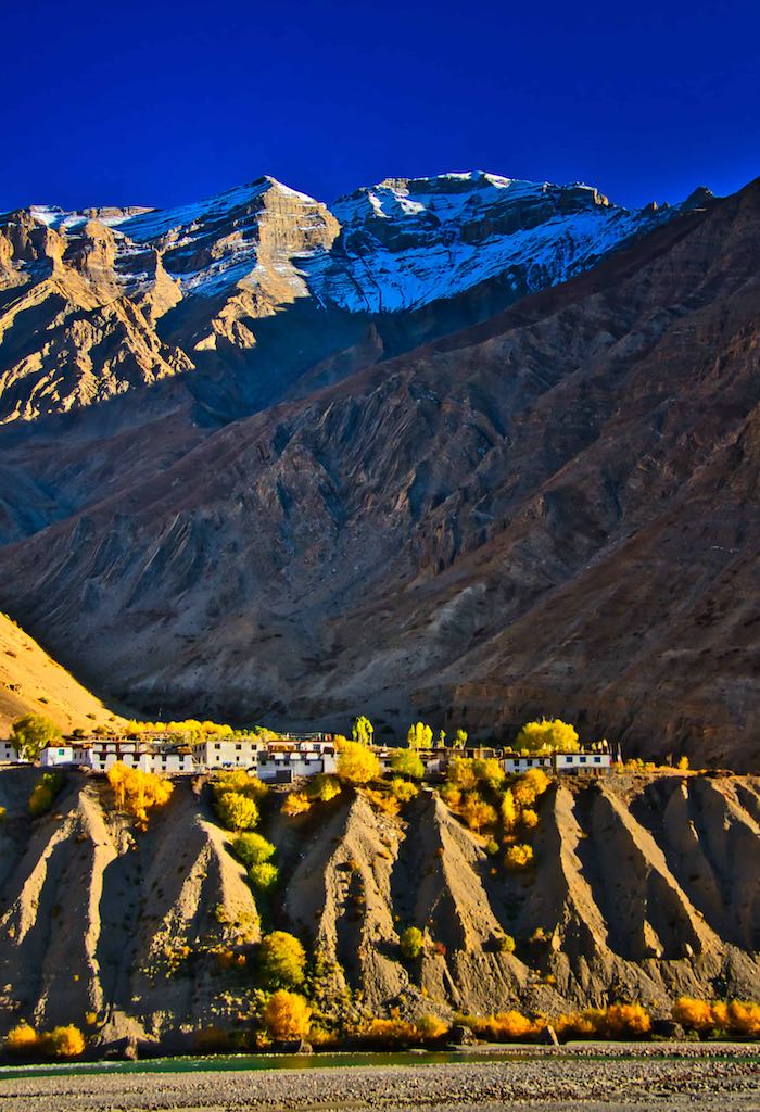

We reached the end of the road at Mud, a small hamlet where the civilised world came to an end. Ahead was the Pin National Park, the mysterious wonderland home to the snow leopard and mountain ibex. To be accessed only by arduous treks.
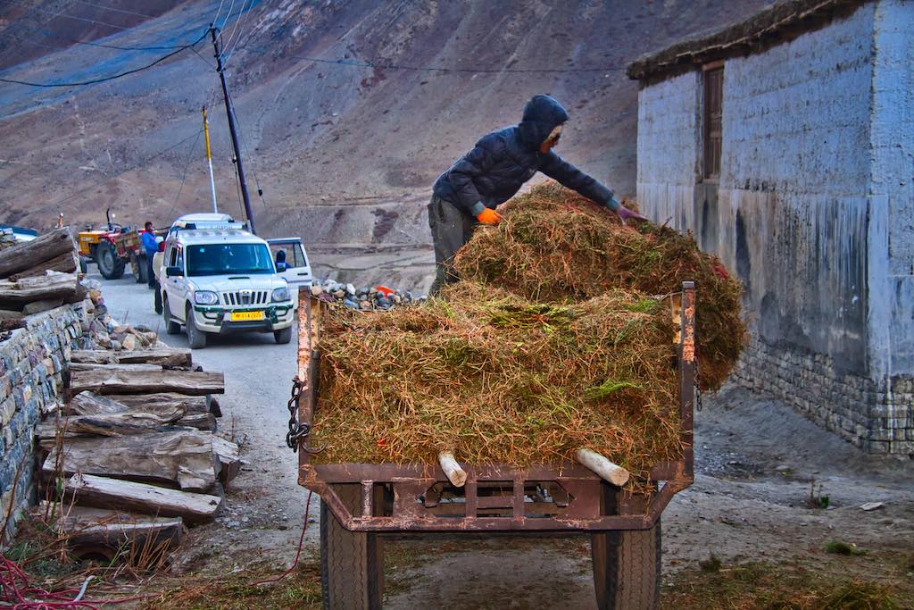
Originally our night stay was planned here, but surprisingly all accommodations here were full! And one of the owners mentioned that the guests were mostly foreigners.
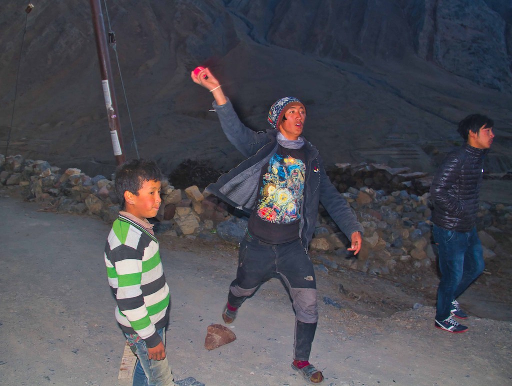
Our night halt was at Ka Puckchung, a remote homestay more or less at the end of the road! It was a beautiful location, with the River Parahio flowing below nearby. It was dark by the time we reached. Tired after a long exciting day.
Day 6
Next morning we woke up to a warm sunny day, in lovely surroundings.
Hot local dishes we got for breakfast, right off the kitchen stove, prepared by the daughter in law of the owner. Sitting in traditional style.
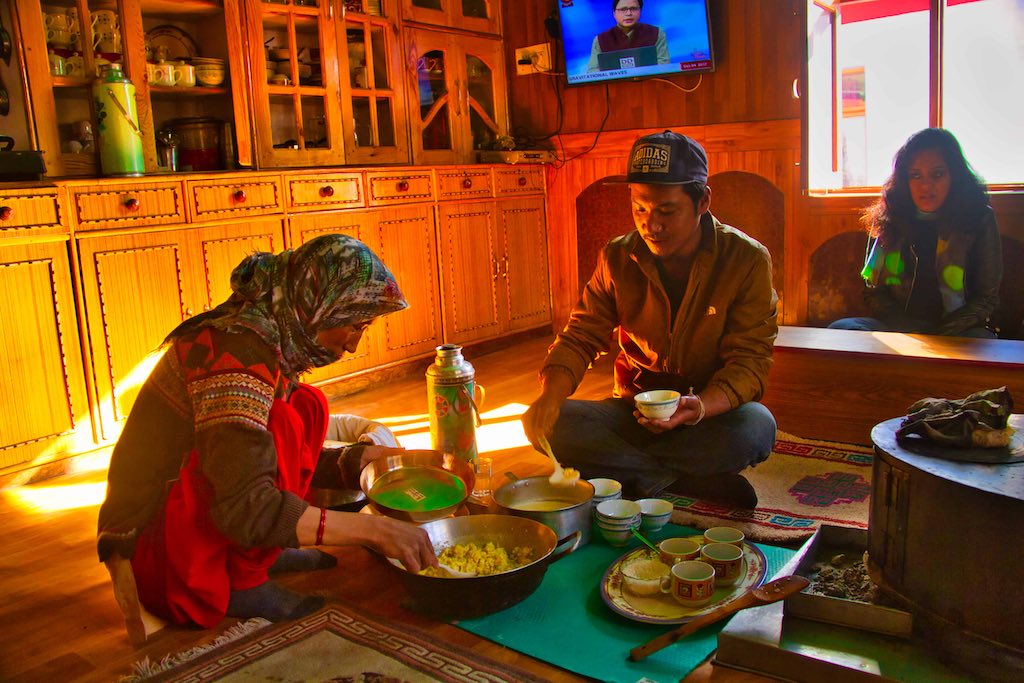

The traditional seating 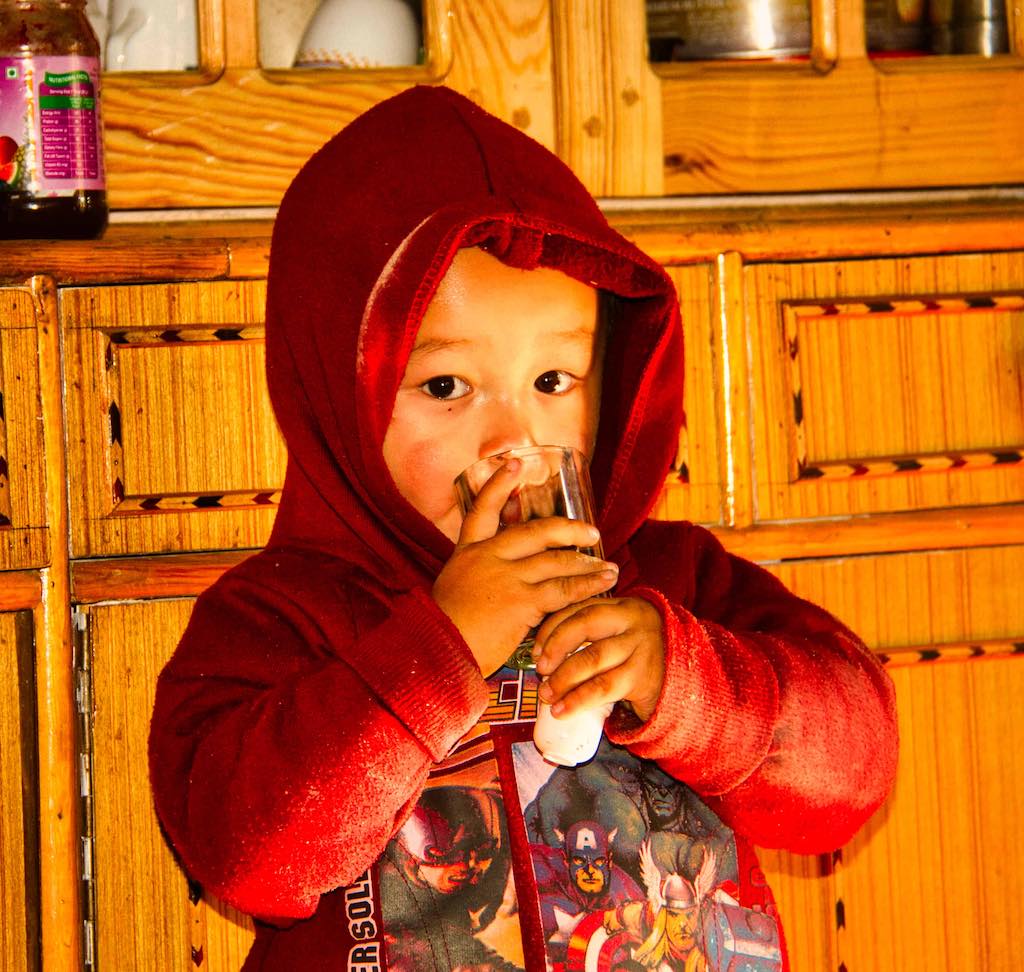
The cute kid also has his meal with us
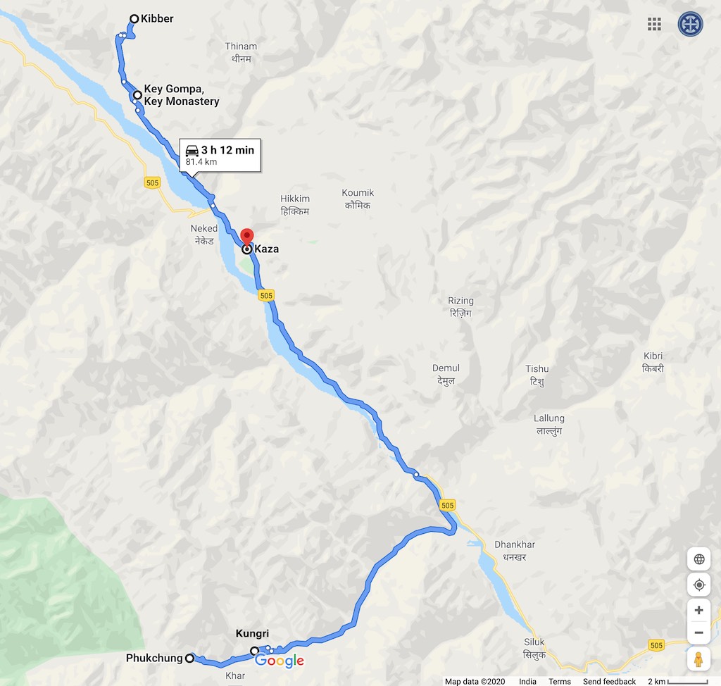
Today’s schedule was a bit relaxed, thankfully. Till now we had been on the road for long hours daily and this would be a welcome respite. Our first visit today was to the Ugyen Sanag Choling Monastery at Kungri. This was on the way back to Kaza.
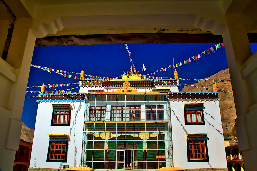
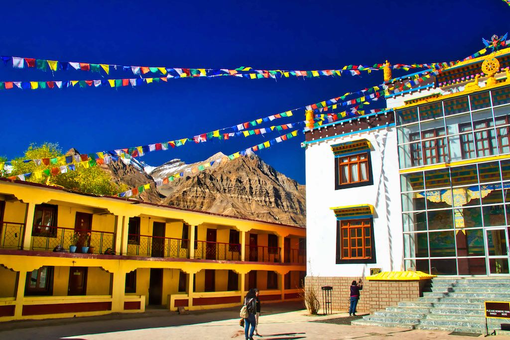
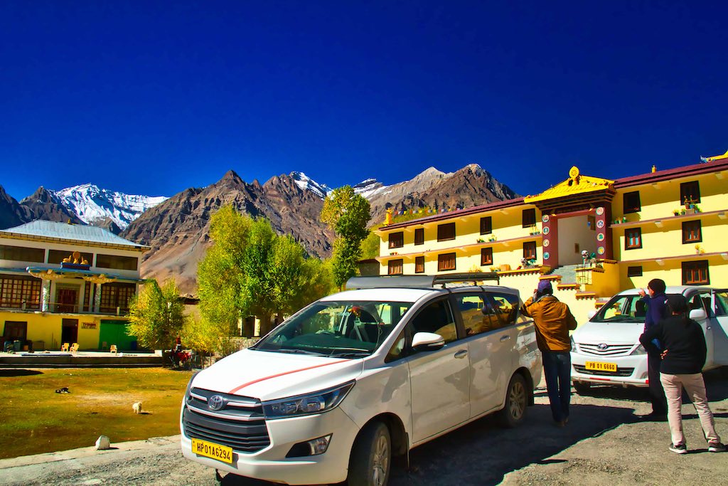
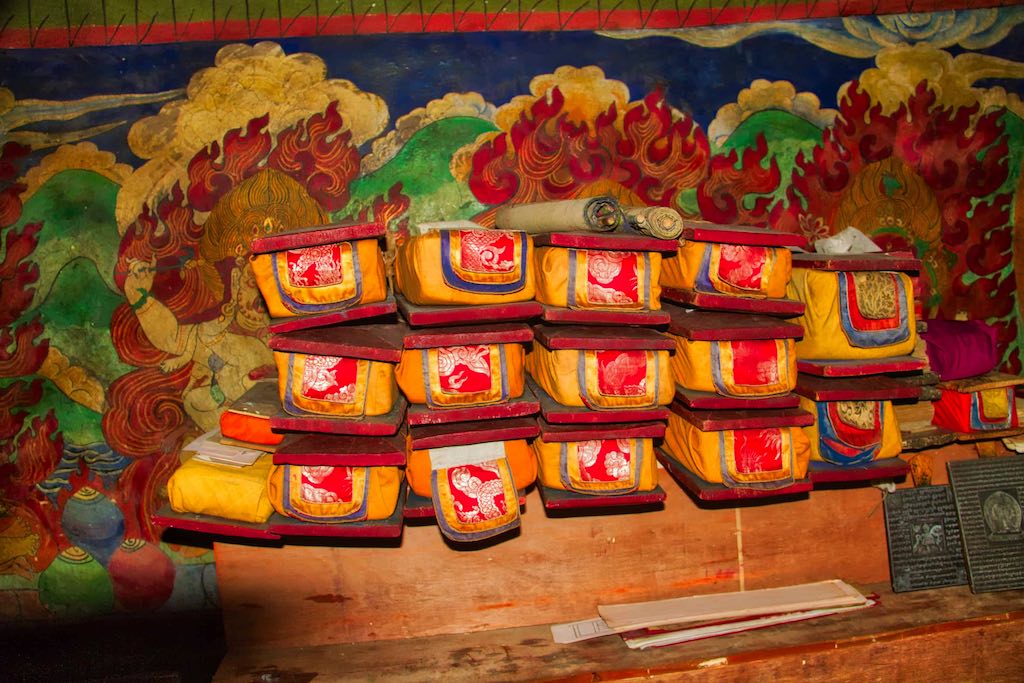
Just short of Sangnam, we branched off the road at Kungri to visit the Kungri Monastery. A hidden gem, tucked away from the casual travellers and not as famous as the other monasteries in the region. Also known as the Ugyen Sanag Choling Monastery, it was founded in the 8th century and held a huge cache of priceless Buddhist manuscripts and wall paintings, similar to those in Tabo Monastery. The surprise for us was that the monk allowed us to take photographs, a bonanza since no other monastery had allowed that till now.
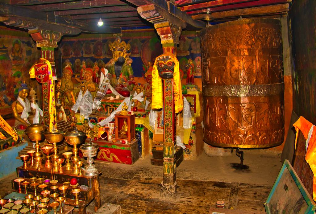
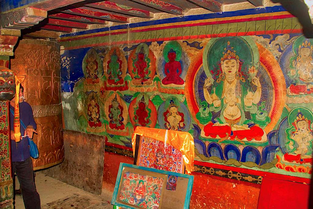
A major attraction of this historic monastery is the traditional ‘Devil Dance,’ which is performed in the month of July every year.

The drive back to Kaza was spectacular. And we enjoyed ever bit of it. Out of the world vistas.
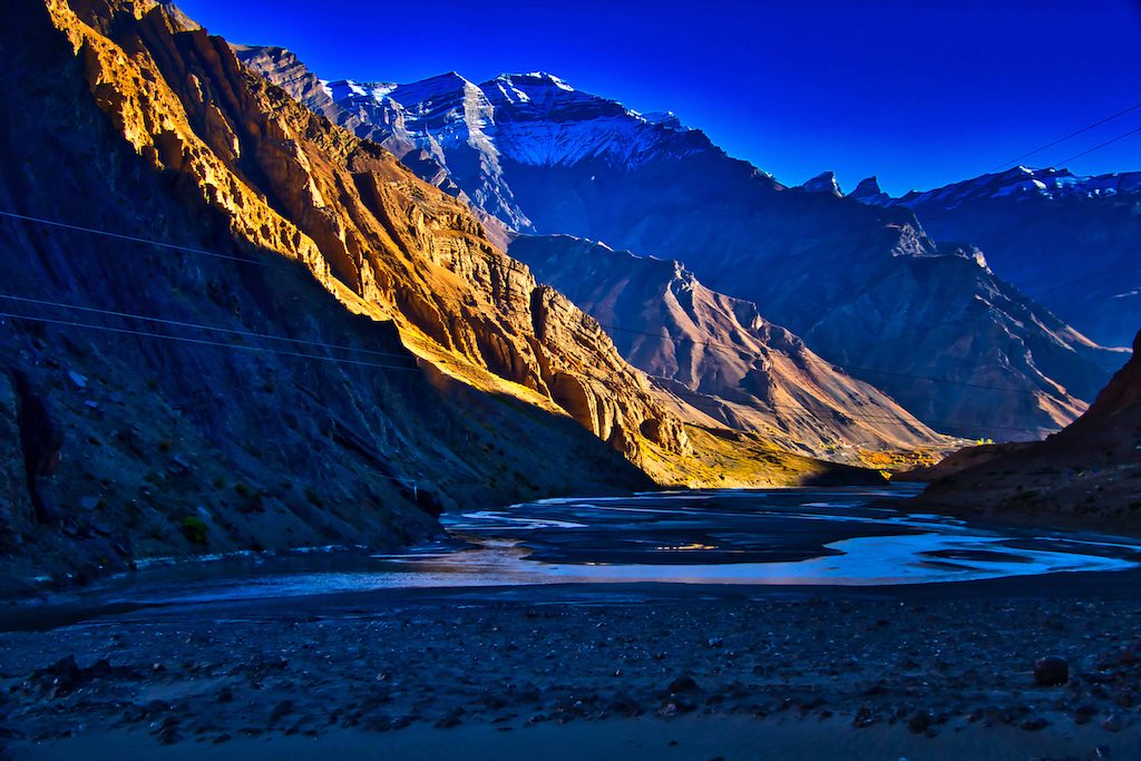
It was amazing that even the smallest habitations were marked. Including a hamlet with a population of just 3 inhabitants!
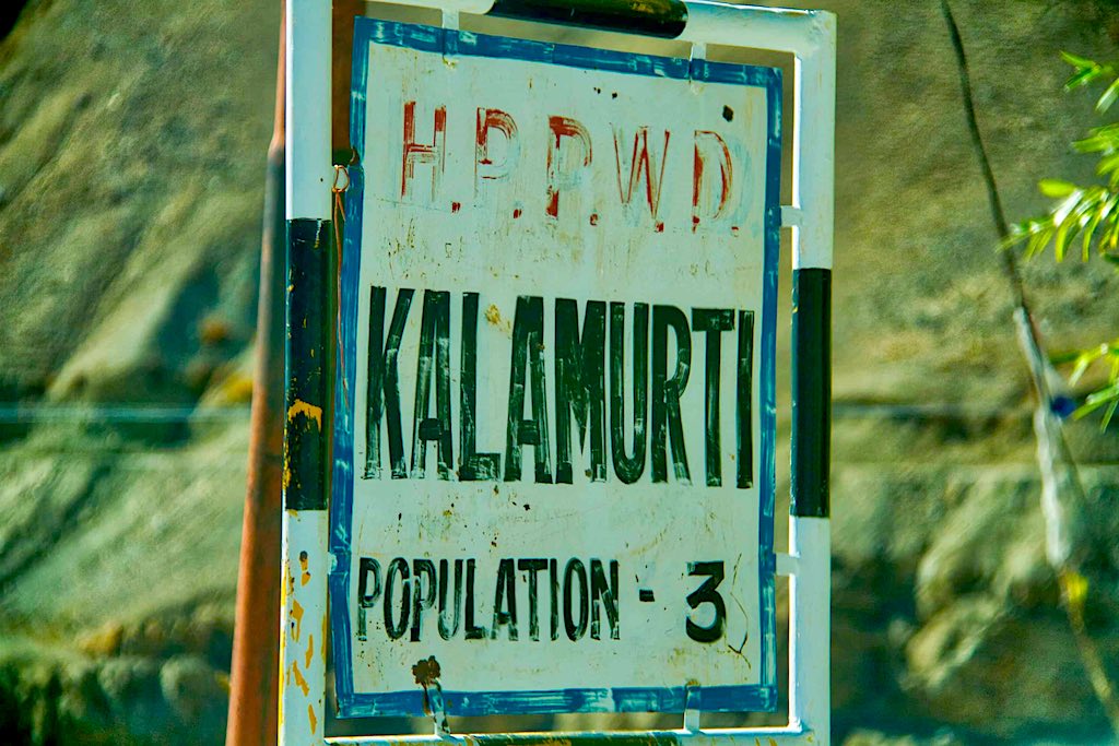
The return journey appeared to take lesser time as we retraced our route back to the Spiti valley.
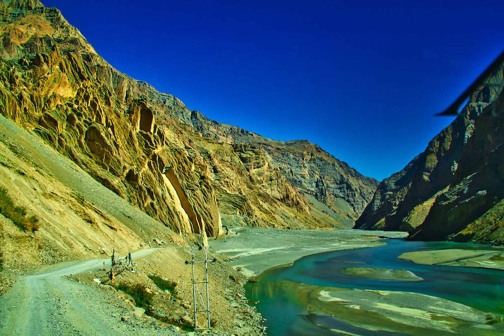
We reached our hotel in Kaza around 11 am and after a quick cup of tea were off again to visit the famous Key Monastery.
The initial drive was along the Spiti River, and as was now expected, we were all spellbound watching the majestic mountains around us.
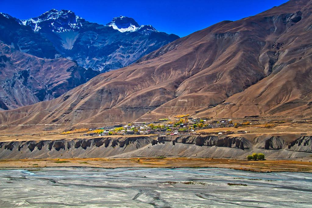
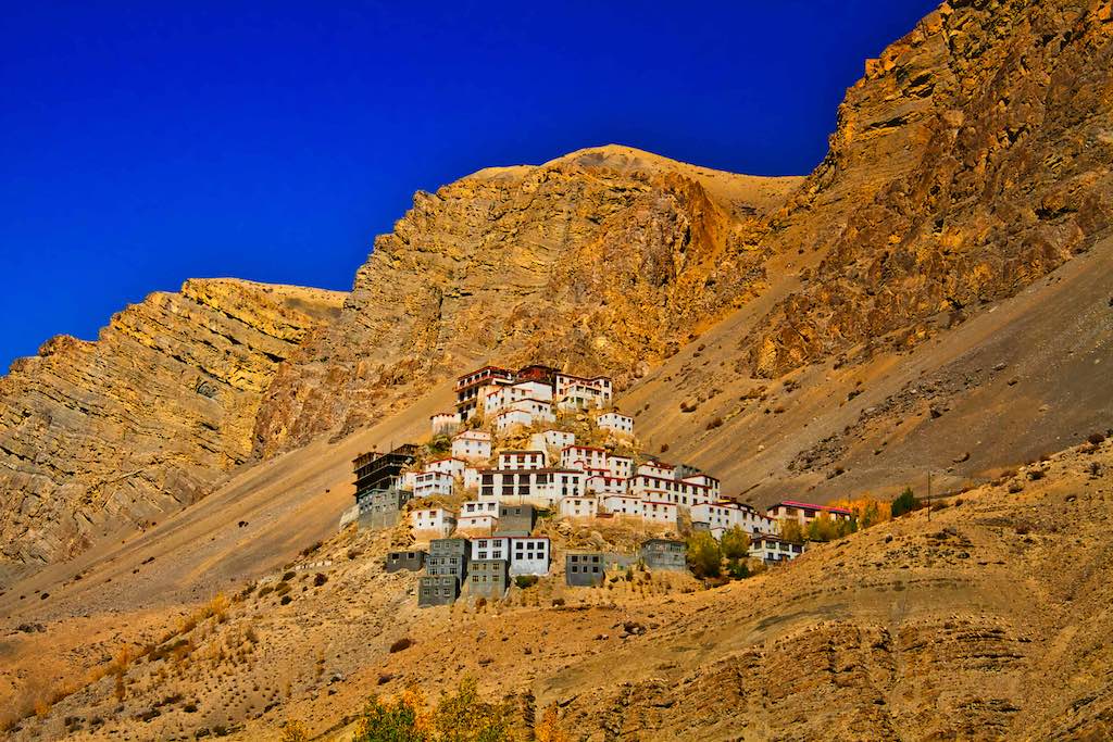
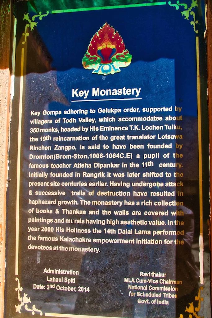
The monastery is located on top of a hill at an altitude of 4,166 metres (13,668 ft), overlooking the Spiti River. It is the biggest monastery of Spiti Valley and a religious training centre for Lamas. Key (or Kye) Gompa is said to have been founded by Dromtön (Brom-ston, 1008-1064 CE), a pupil of the famous teacher, Atisha, in the 11th century. This may, however, refer to a now-destroyed Kadampa monastery at the nearby village of Rangrik, which was probably destroyed in the 14th century.
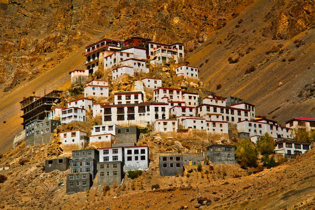
The monastery has a chequered history. Kye was attacked again by the Mongols during the 17th century. In 1830, it was sacked again during the wars between Ladakh and Kulu. In 1841, it was severely damaged by the Dogra army. Later that same year, it suffered more damage from a Sikh regiment Indian army. In the 1840s, it was ravaged by fire and, in 1975, a violent earthquake caused further damage.
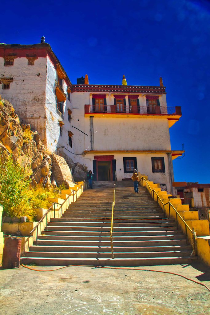
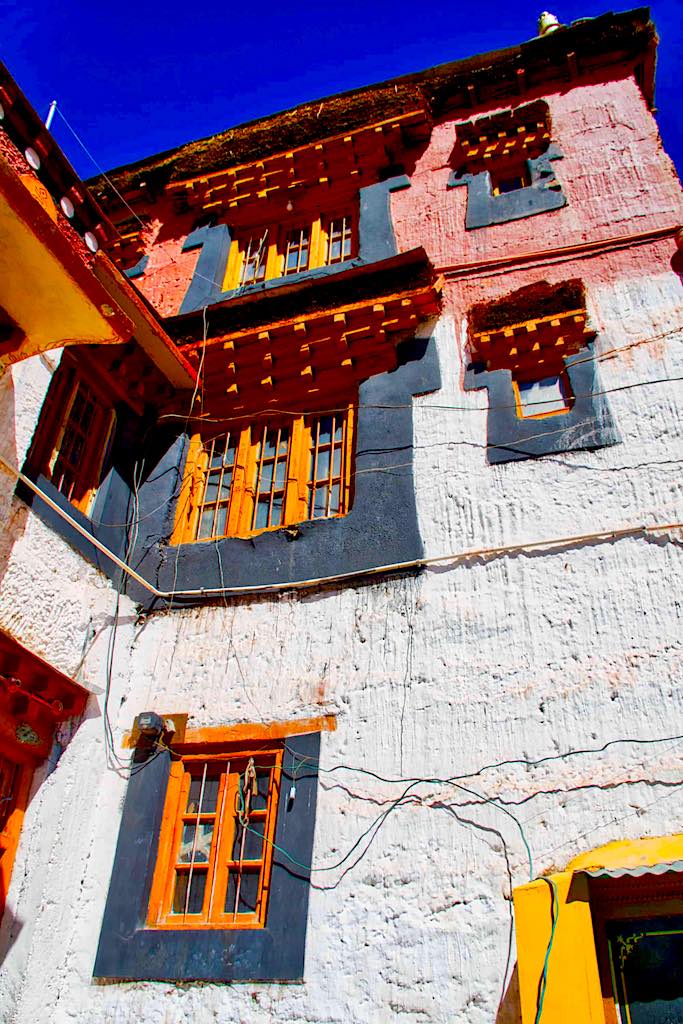
There are three floors in the monastery, the first one is mainly underground and used for storage. One room, called the Tangyur is richly painted with murals. The ground floor has a beautifully decorated Assembly Hall and cells for many monks.
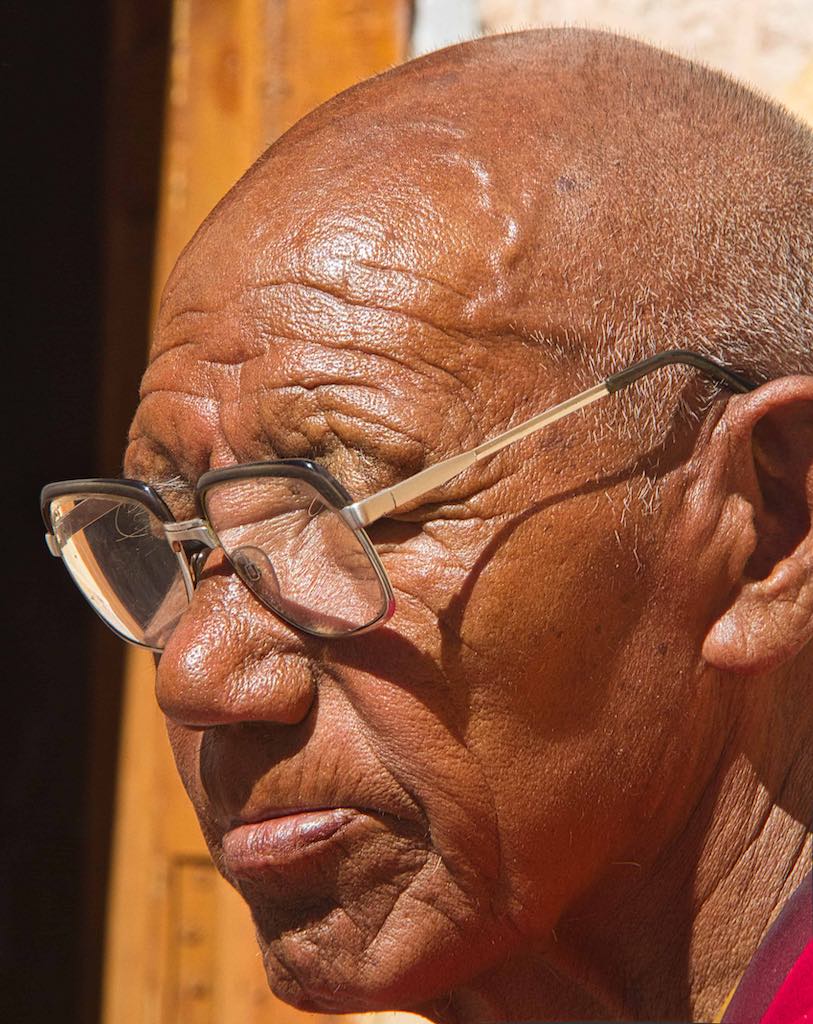

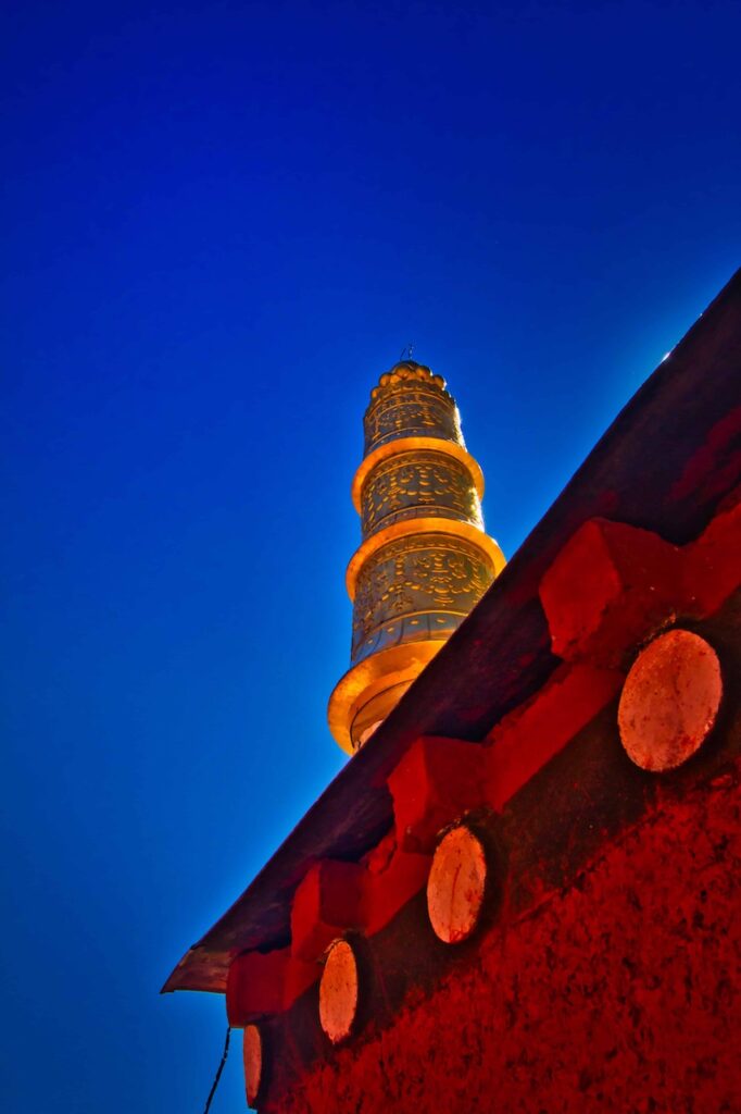
The location of the monastery provides grand views of Spiti valley and river.


A round of the ancient monastery and we were off as the next halt in our route was the village of Kibber. Kibber is a picturesque little village on the higher regions of Spiti Valley in Himachal Pradesh. Also known as Kyibar, Kibber is known for the Kibber Monastery and the Kibber Wildlife Sanctuary. This small, recluse village is made of only 80 houses with approximately 366 residents.
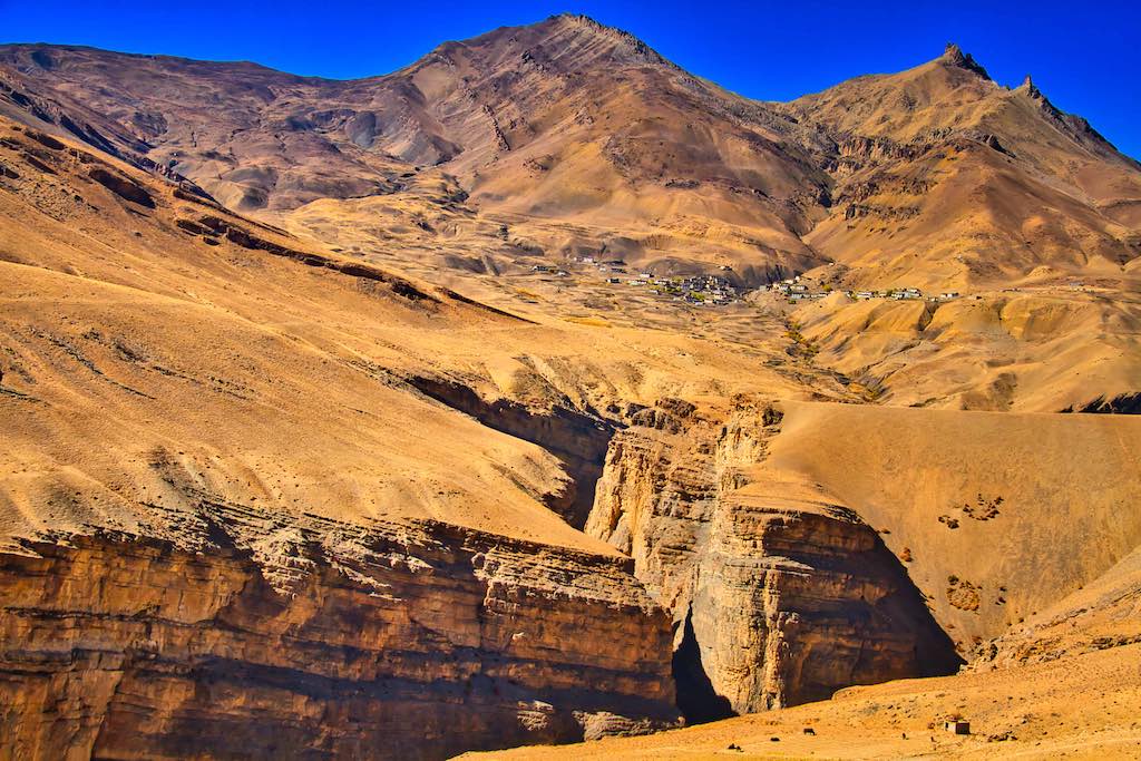
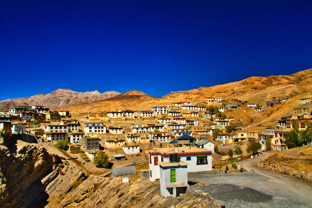
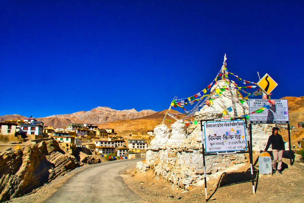
Standing at a height of 14,200 feet (4,270 metres), Kibber is known for being the highest motorable village in the world. Surrounded by the Himalayas, this village attracts a large number of tourists every year.
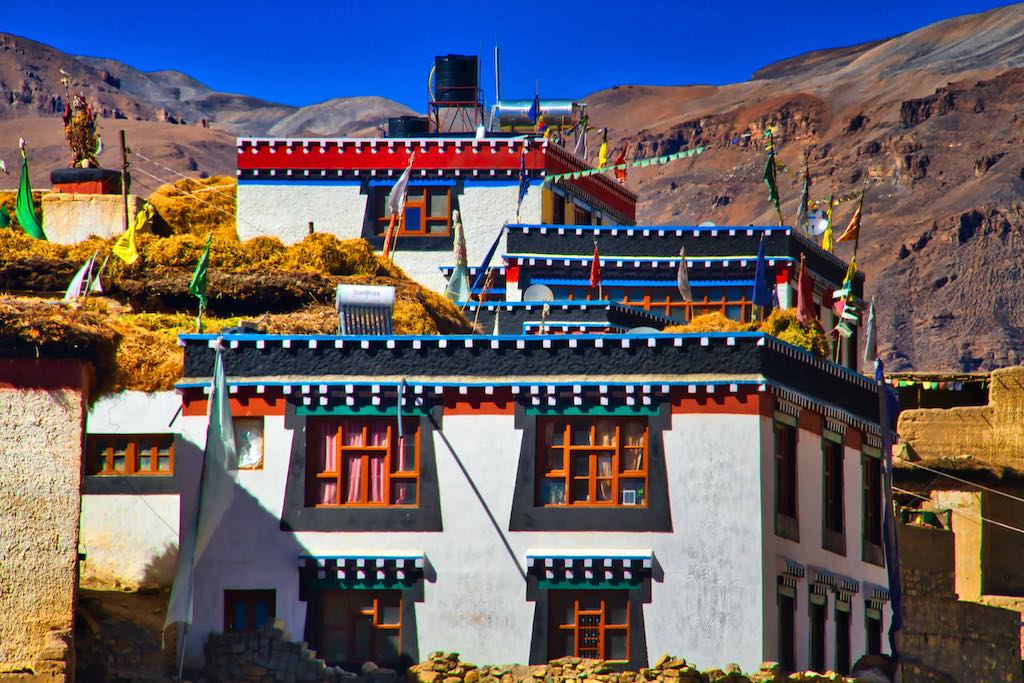
It was a short halt, with a walk around the small hamlet. Though it did have a Gompa, quite large for the size of the place.

The way down again presented us with an unending views of Spiti Valley.
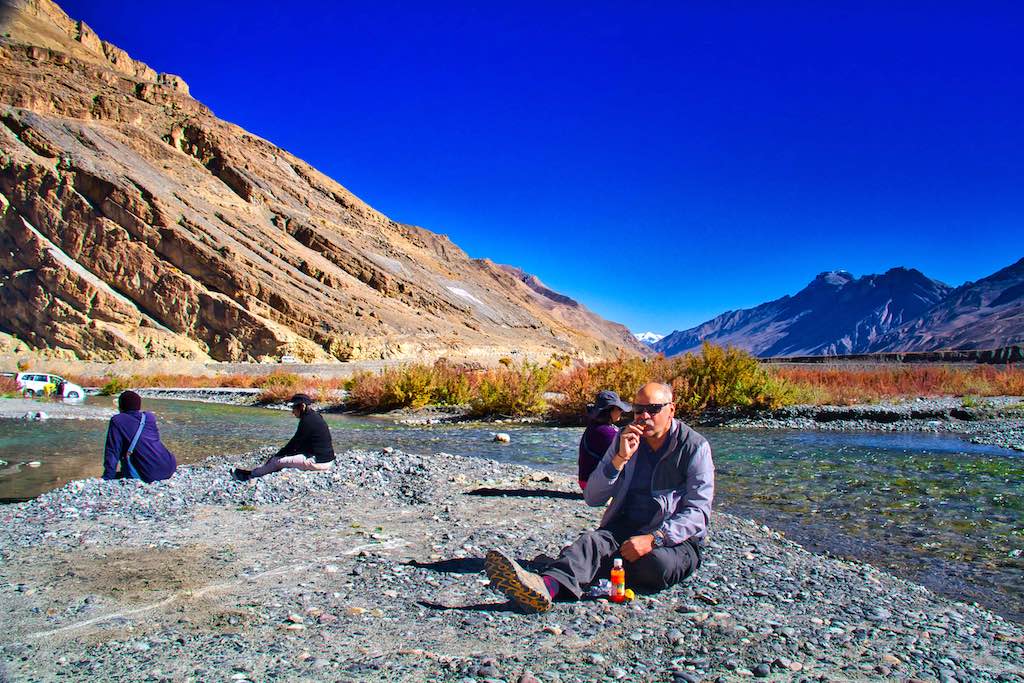
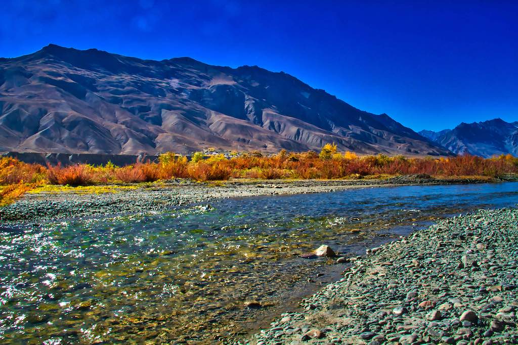
Our lunch today was planned on the Spiti River. We had been following the river for days now, mostly from far above. Except for a short halt once, this would be the first picnic for us and looked forward to by all.


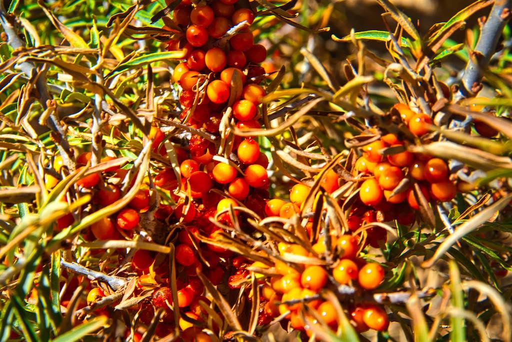
Bushes of sae buckthorn grew all over. Now in great demand as a super food, its marketing has started by the locals. The thorns make is very difficult to reach the juicy berries, and one has to be careful!
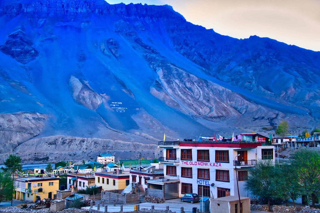
The afternoon was free today and we all walked down to see the Kaza town, very popular tourists. The town is at 3,800 m (12,500 ft), and the skiing slopes in the background are very popular in winters.
One found restaurants serving all varieties of cuisines, including one serving Israeli dishes! Many foreigners were visible, and we were told that more came in winters when the slopes across the river provided a perfect place for skiing.
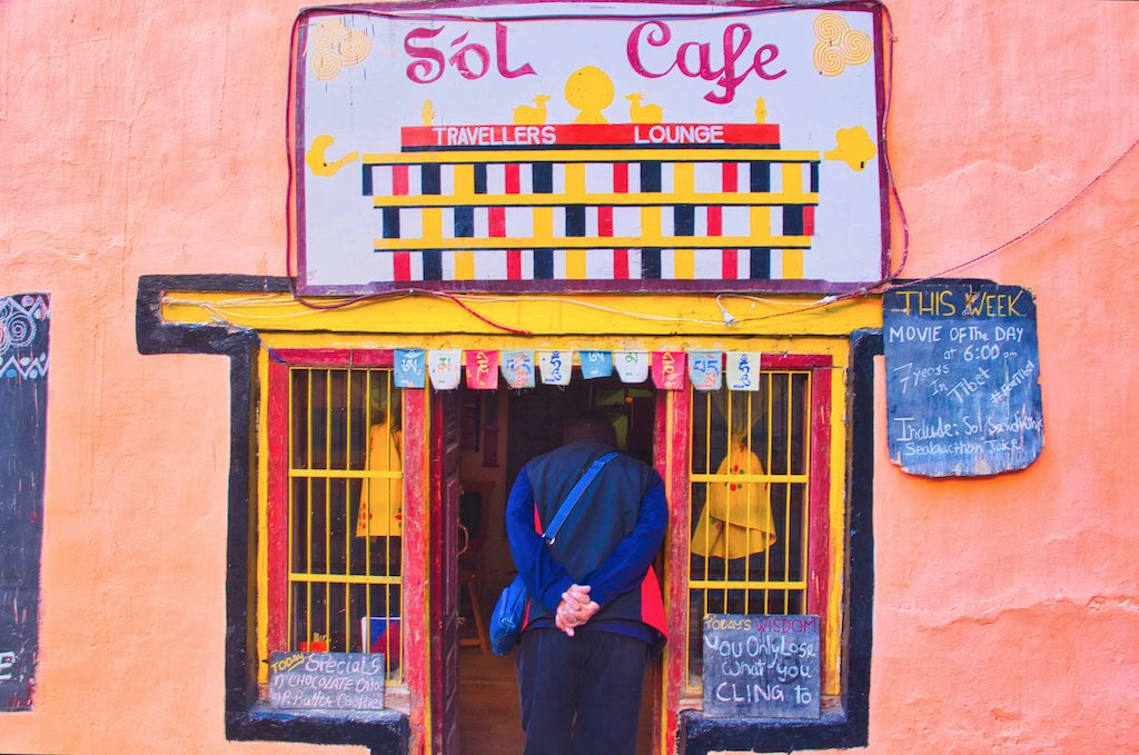
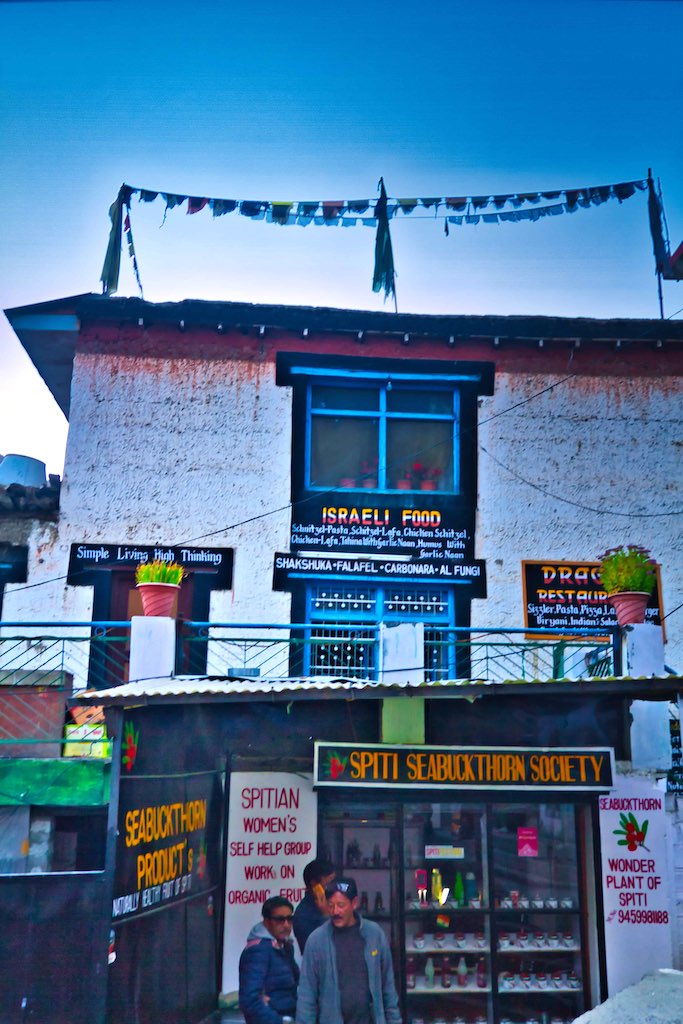
The marketplace was very crowded, being the peak tourist season. And the weather had brought even the locals on the streets.
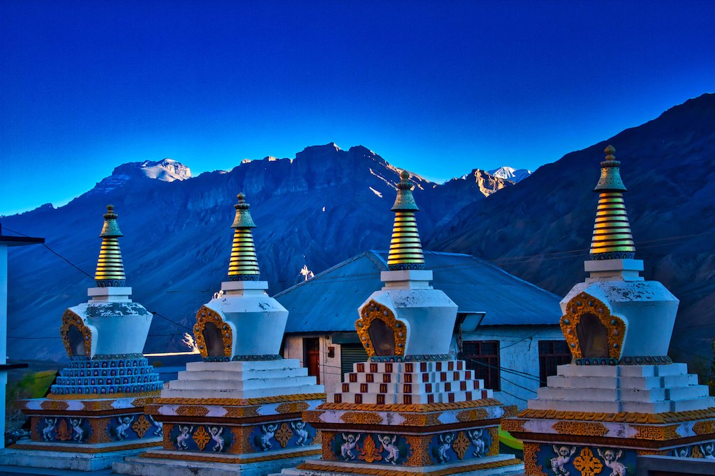
Back in the hotel, we had a lovely dinner. There were a row of chortens near the hotel, which we visited on the way back. Beautifully framed against the backdrop of the mountains at dusk.
Many in our group had been earlier commenting that no non-vegetarian we had eaten since the start of our trip. Probably the chef overheard us – and we got a delicious dinner with mutton cooked in the local way. We gorged ourselves, and could only back to our bed after that. One thing to remember, since the start all alcoholic drinks had been banned (very diplomatically by our guide!), as travelling in these high altitudes, it was a risk.
Day 7
The next morning we had an early visit to a few left-over sights in Kaza, before we were to set off for the next leg of our journey. I took a walk before anyone was up and around. A calm and quiet morning, left alone to myself. The Kaza Gompa was next door and I walked across, an imposing building.
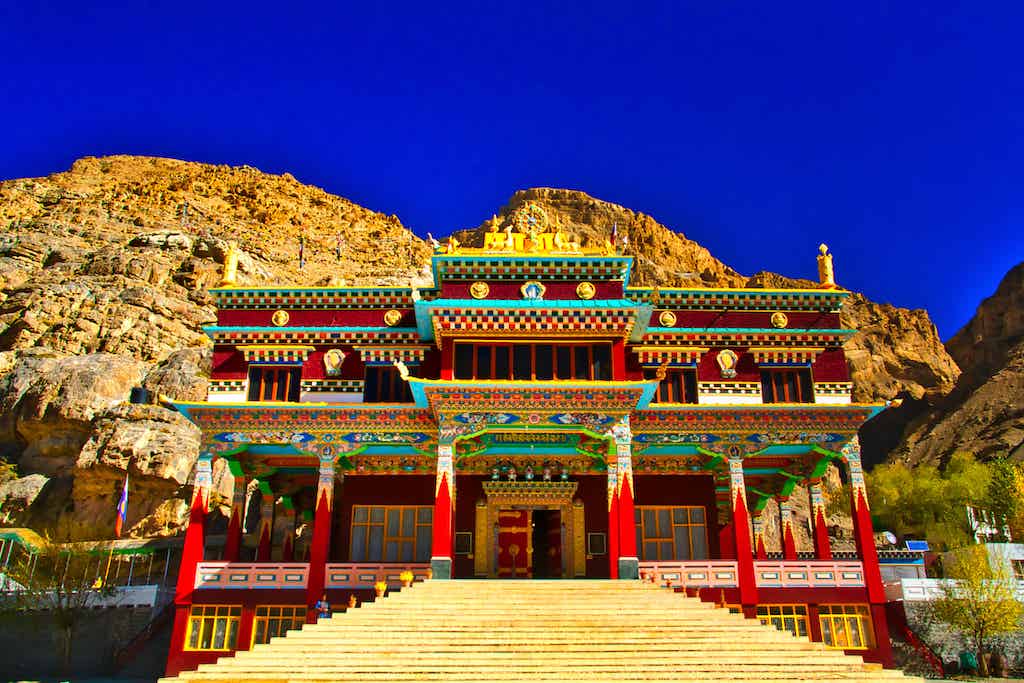
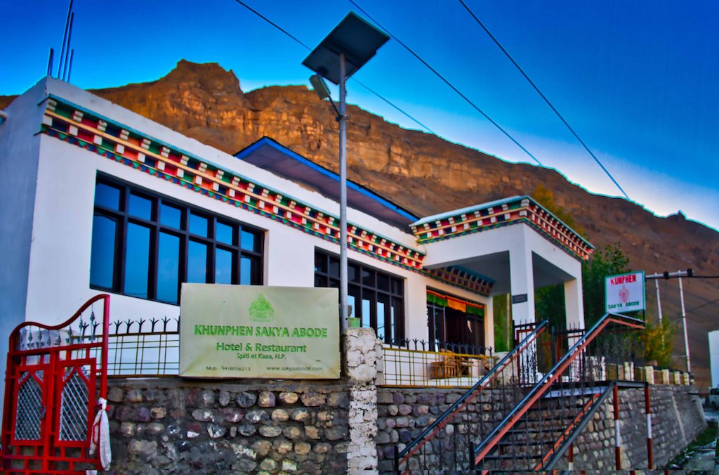
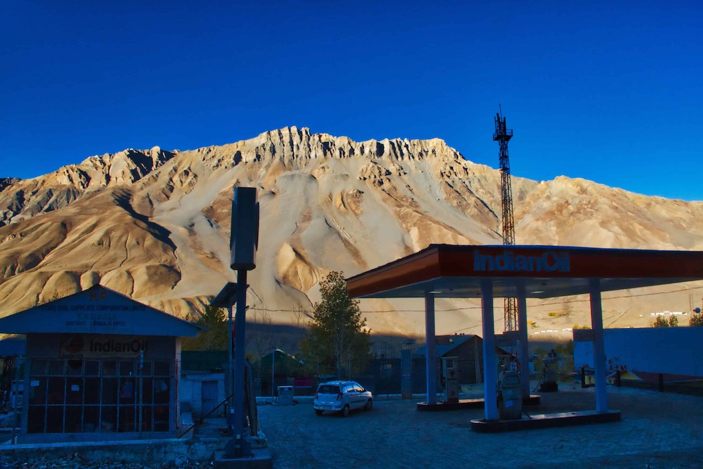

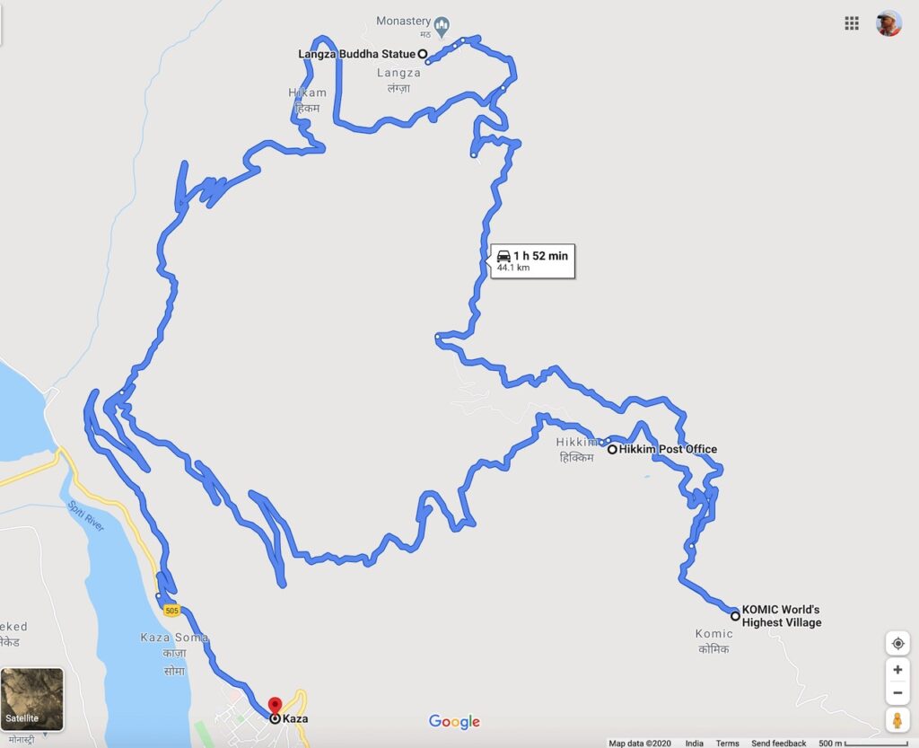
After breakfast we were again off for today’s part of the trip. Distance-wise it was limited as we were just doing a circuit, but it was high above Kaza. And places with many world’s “highest” records to their name!
The views continued to be spectacular! What had now become routine.
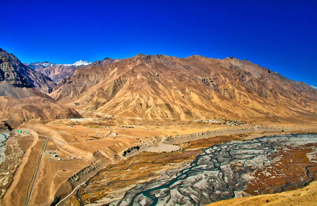
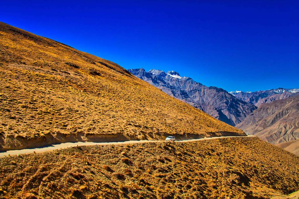
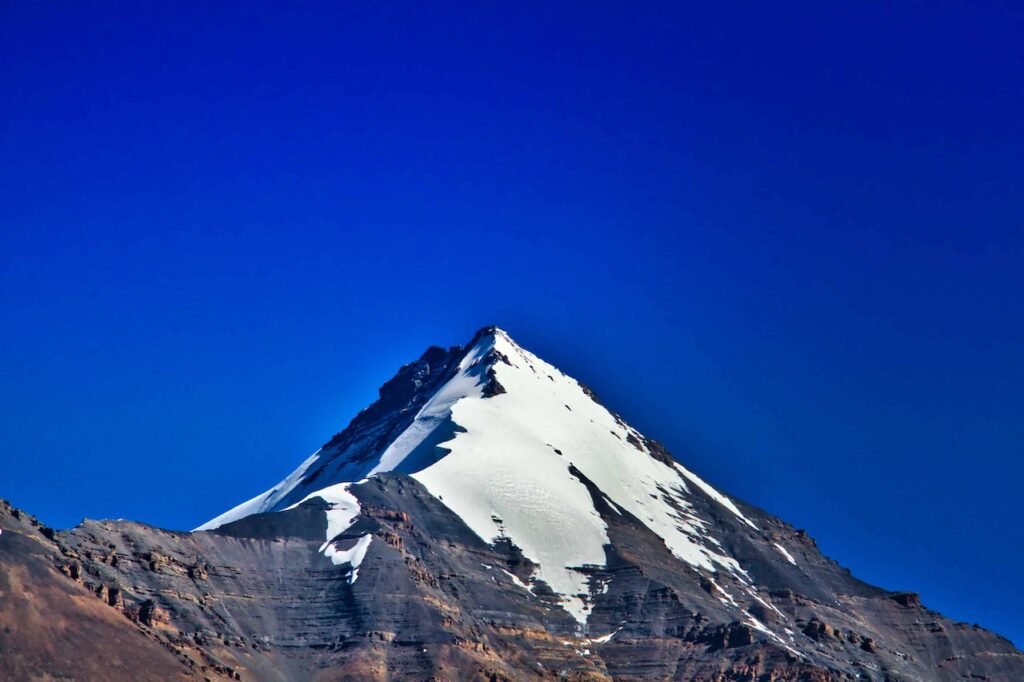
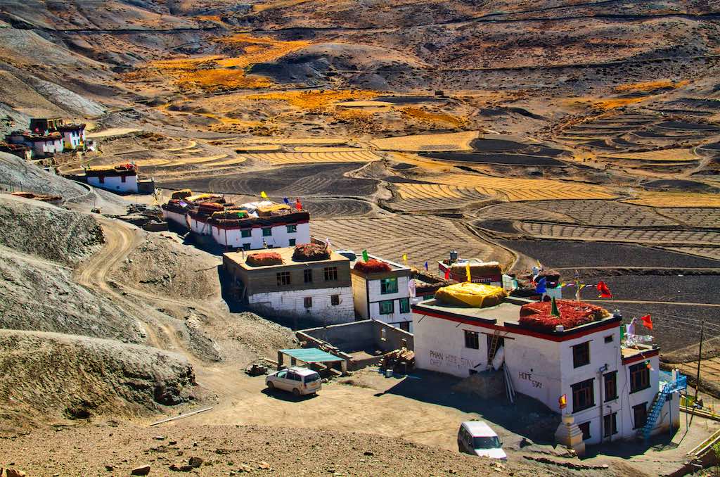
Langza village is located in the western part of Himachal Pradesh at an altitude of 14,500 feet from the sea level. As a backdrop to the village stands a majestic snow-covered mountain called as Chau Chau Kang Nilda (CCKN) at 20,000 feet, towering in the background. The CCKN peak, which apparently means ‘blue moon in the sky’, appears prominent on the skyline against the deep blue sky. Some people rightly refer to Langza as the ‘Switzerland of Spiti’ though it is more brown than green.

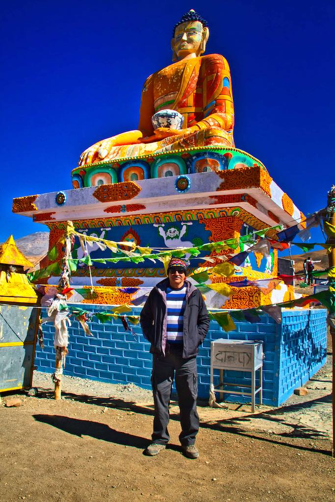
The tallest structure in the village is the imposing statue of a seated Buddha in a hillock, with its back to the village. Legend has it that there was a threat of evil influences on the village long ago. To prevent this affecting the village, the statue was erected, facing towards the direction of the threat.


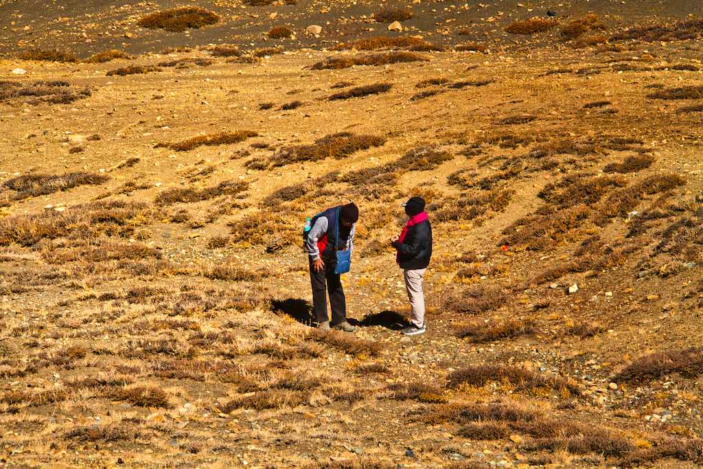
A visit to Langza is not complete without fossil hunting. The villages of Spiti were submerged under the ancient Tethys Sea millions of years ago. When the Himalayan range emerged, the Sea disappeared. The fossils of the marine animals inhabiting the Tethys Sea are still found in the villages of Spiti Valley, mainly around Langza village. The local name of fossil here is ‘chaudua’ and can be easily found scattered around.

The flora in the region is hardy and consists of thorny bushes, which get covered in snow in winters.
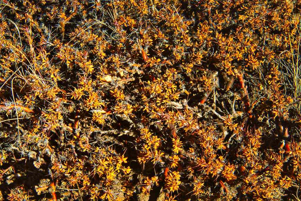
The main occupation earlier was mud craft, which is supplemented by agriculture in the summer months. Mostly rice and potatoes.
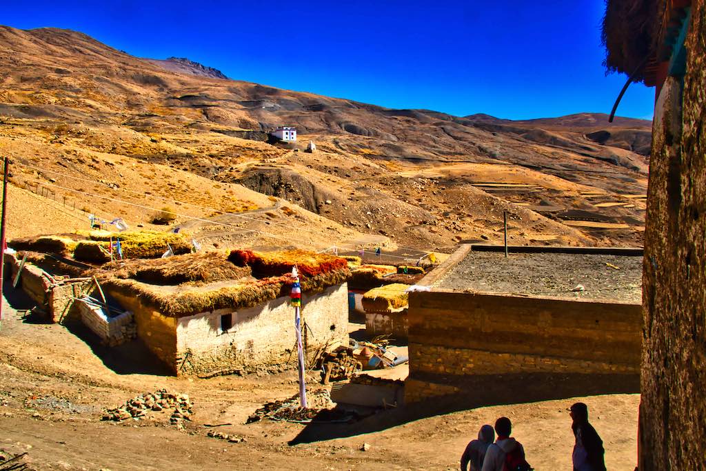
Our next destination was Komic. Though a short distance, being on the top of the world gave us a panoramic view of the mighty Himalayas all around us. It was spellbinding!

The Tangyud Monastery or Sa-skya-gong-mig Gompa at the village of Komic is built like a fortified castle on the edge of a deep canyon, with massive slanted mud walls and battlements with vertical red ochre and white vertical stripes which make them look much taller than they really are.
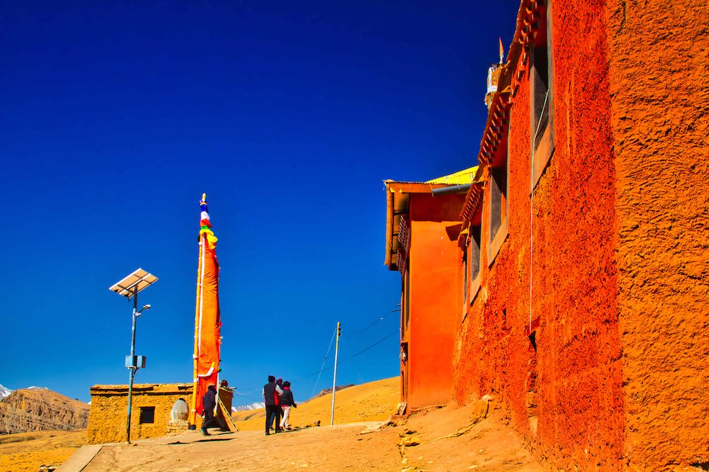
It is one of the highest altitude gompas (monasteries) in India, at an altitude of 4,520 metres (14,830 ft), on the edge of a deep canyon and overlooking the town of Kaza.
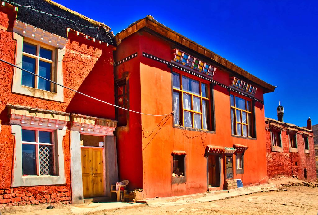

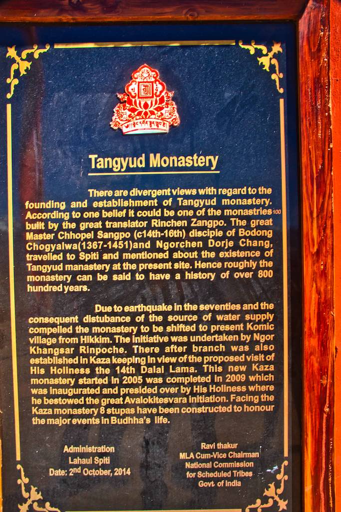
There is a new Monastery also near to the ancient one, as seems to be the norm at all the places we had visited. Appropriate, considering that the monasteries were ancient and not suited for use on a daily basis.
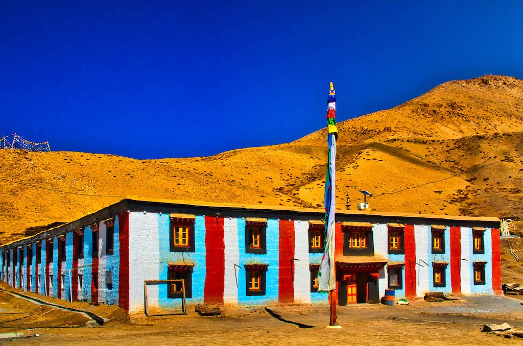
Bright colours used on the exteriors of the new monastery. Probably to break the monotony of the drab landscape, more so during the long winter months.

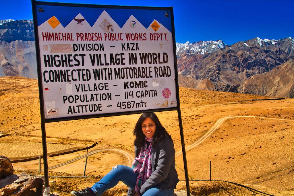
Being at an altitude of nearly 15,000 feet, Komic is reputed to be the highest village in the world connected by a motorable road. No mean feat indeed! Houses in the village are situated up to an altitude of 4,520 m.
From Komic, our next destination was again just 2 km away. Hikkim, reputed to have the world’s highest functioning post office at a very high elevation of 4,400 m (14,400 ft)) in the Himalayas. The village and the region itself remain cut off from other parts of the Himachal Pradesh state for half the year due to heavy snowfall over the mountain passes. An arduous track connects the village to Spiti Valley’s Kaza town, 46 km away, the nearest town with access to asphalted roads.
It is also one of the highest year-round inhabited locations in India.
Intrepid travellers make it this far to Hikkim village to take pride in mailing their letters from the highest post office on Earth. The Postal Index Number or PIN of the village is 172114.
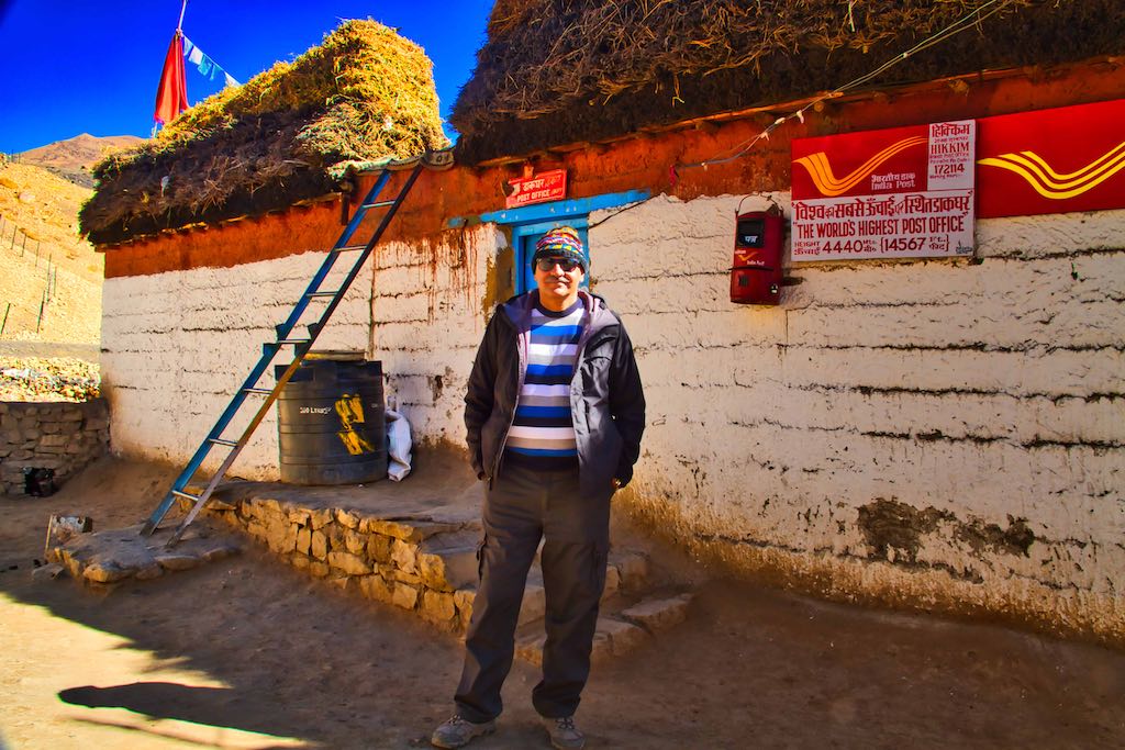
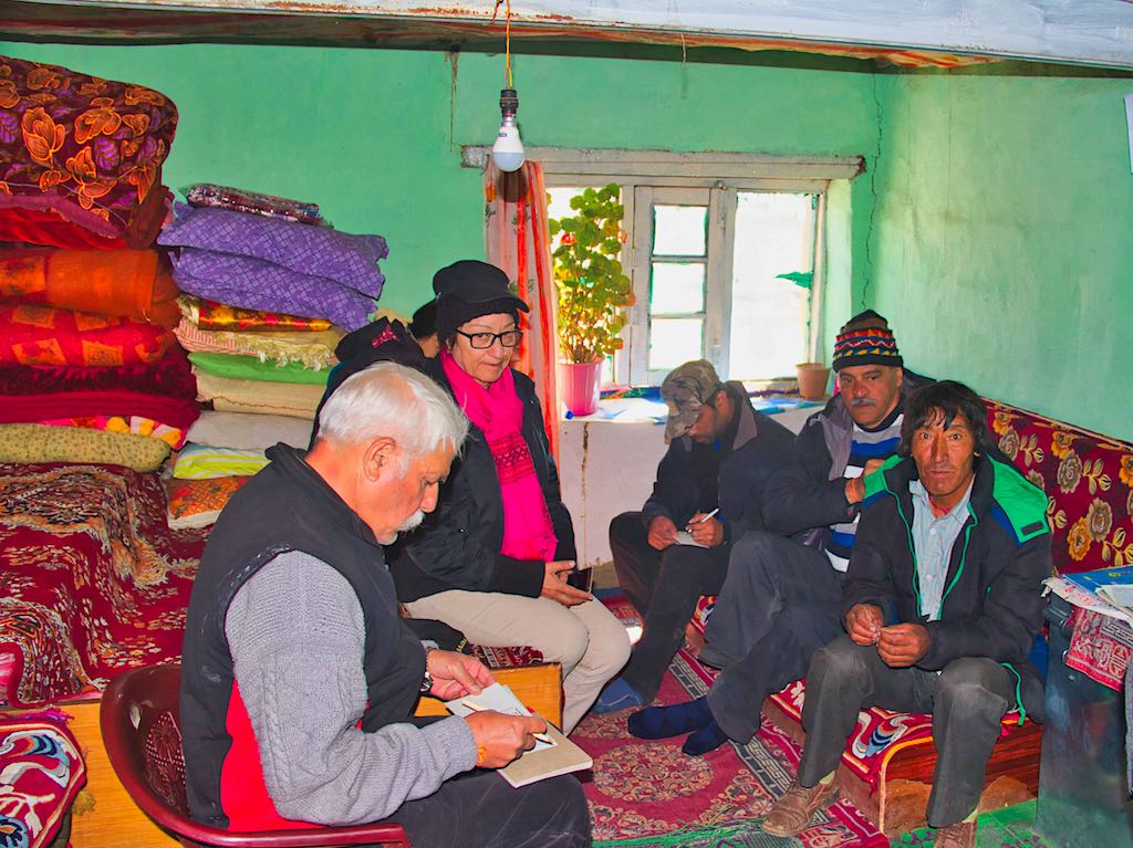
Rinchen Chhering has been the postmaster since its inception in 1983 and the post office serves as his residence-cum-office. The mail is carried on foot to Kaza.
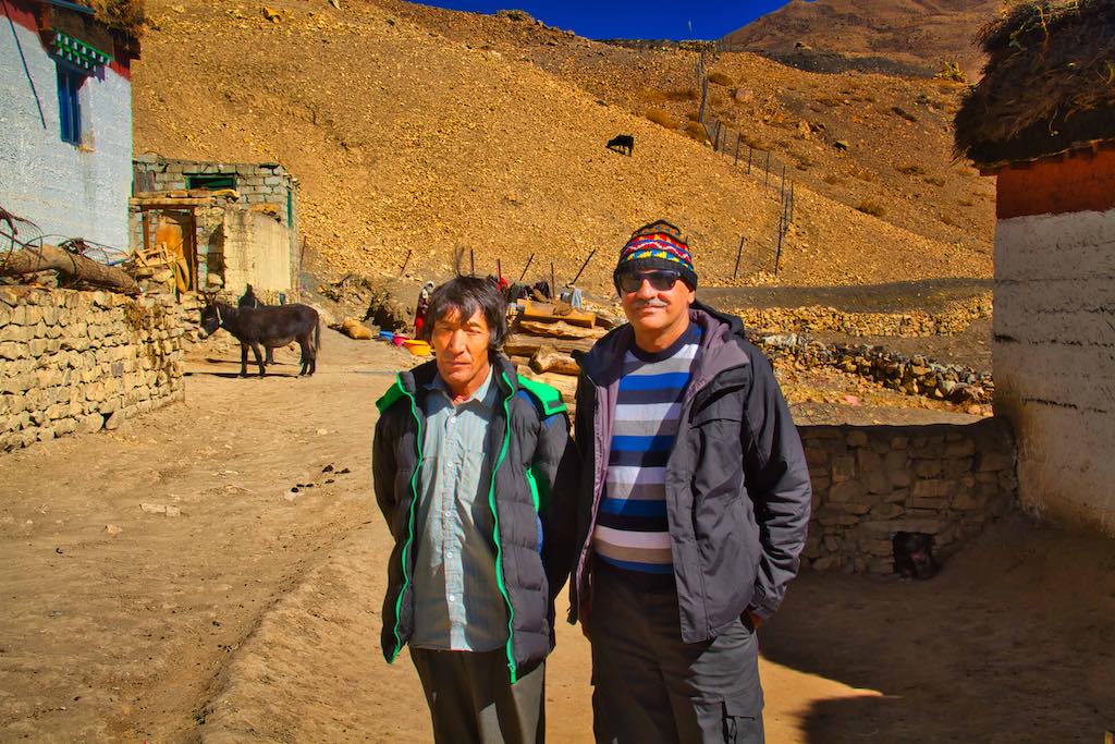

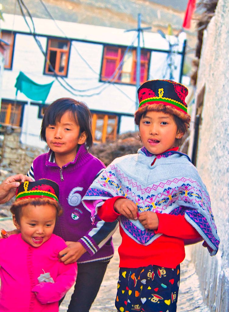
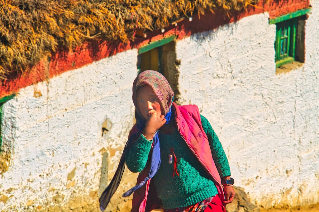
The village had a number of children playing outside, and were soon enthralled in the tales which Vijay started spinning around their inquisitive minds!


Despite the small population of the village, the ubiquitous ‘restaurant’ was there for tourists to enjoy a hot snack or tea.
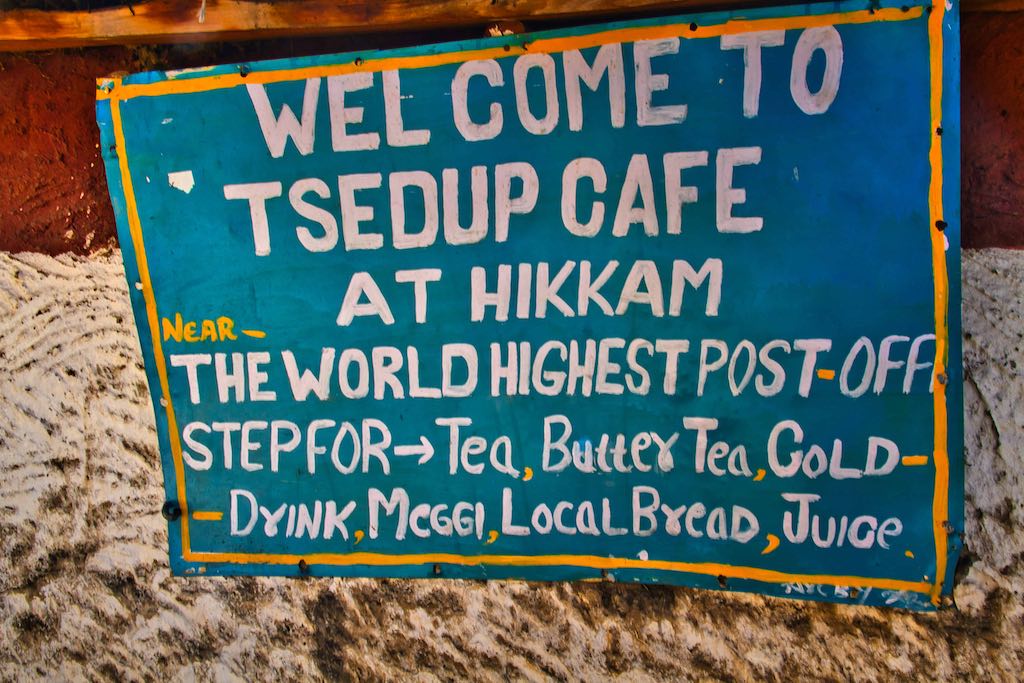
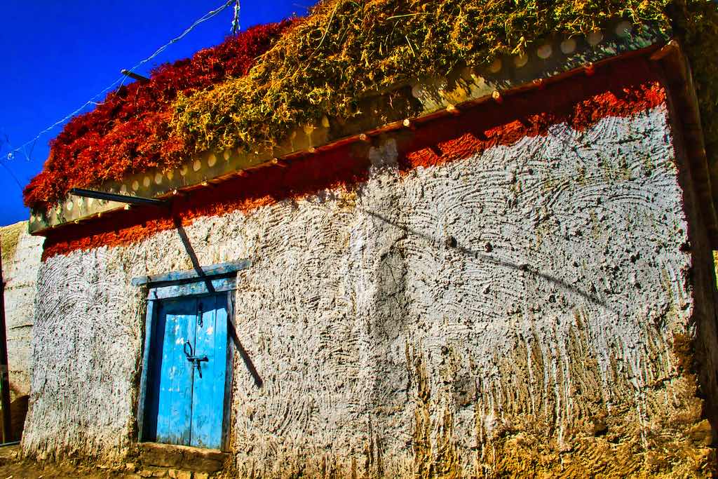
This was the last place to be visited today and soon we were on that narrow ‘arduous’ track which would take us from 15,000 feet down to the Spiti valley! I am sure even with the slightest snowfall, it would be unusable.

The track from Hikkim passes directly above Kaza and gives a panoramic aerial view of the town and the river.
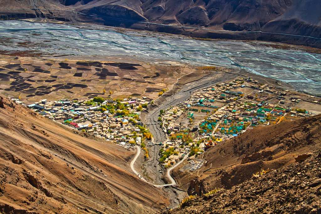
Back for our last night in Kaza, we had a sound sleep, ready for the expected torturous roads expected during the next leg of our journey. Our hotel in Kaza had been comfortable and this had been our longest halt.
Day 8
After breakfast we bid farewell to Kaza and set off for our next next leg of the journey. It would be a long day of driving. We would also finally leave the Spiti valley and enter the Chenab River valley after crossing the Kunzum Pass.
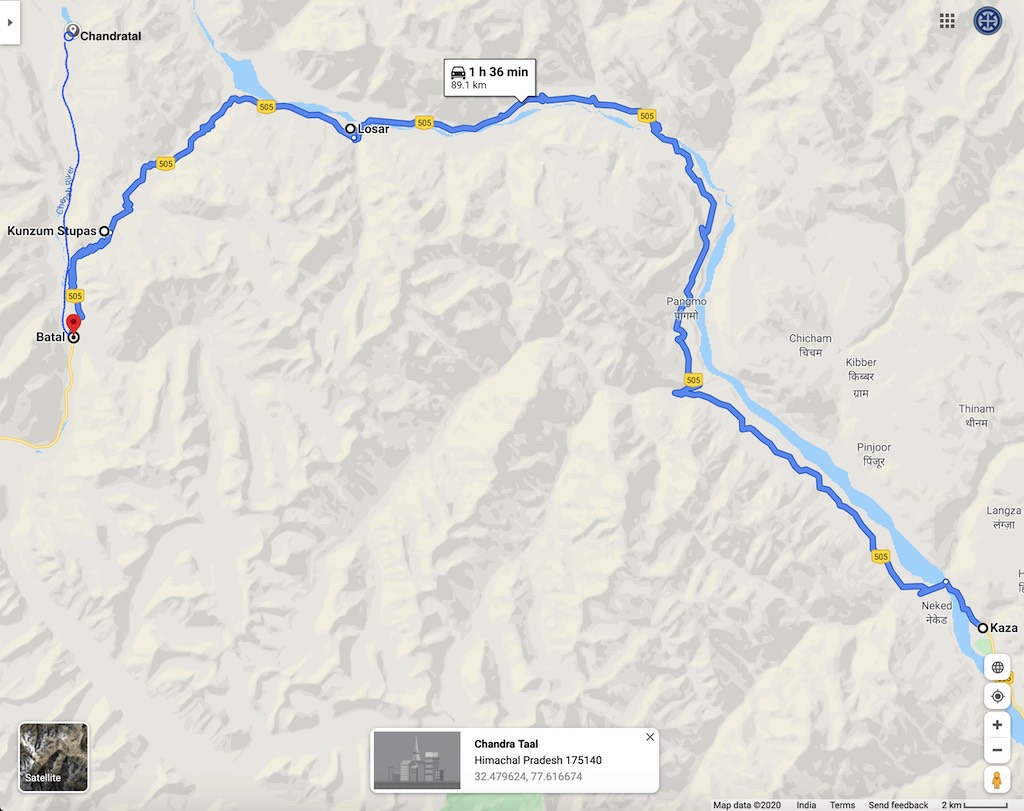
The first half of the drive was along the Spiti River. And the views never failed to amaze us. Soon after we started, we saw the nunnery located on the opposite bank of Spiti River, appropriately located at a distance from other habitation!
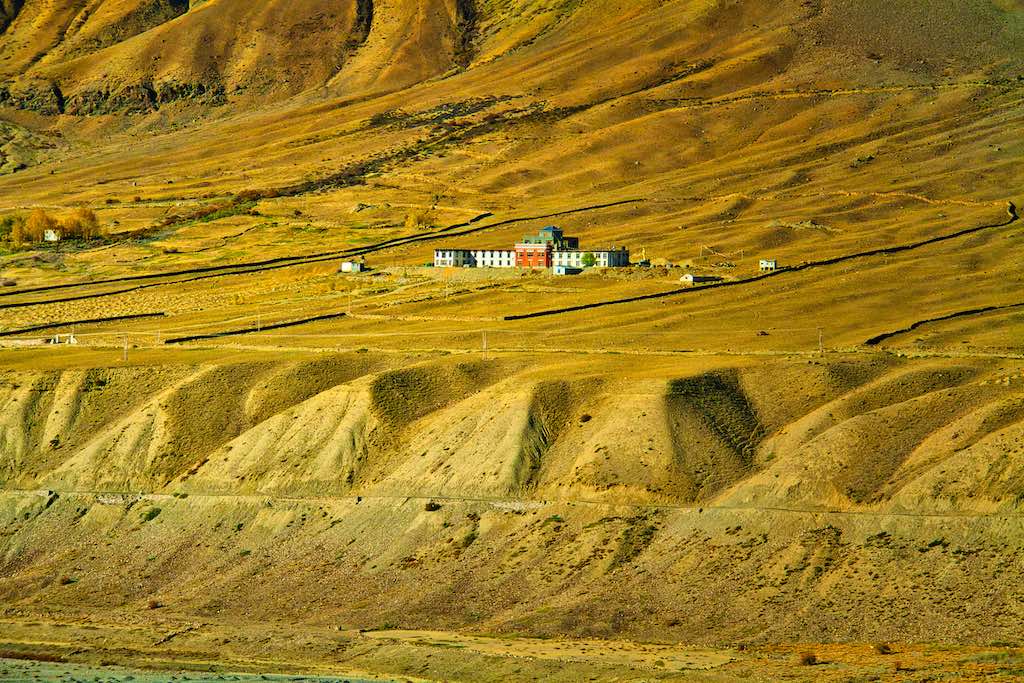
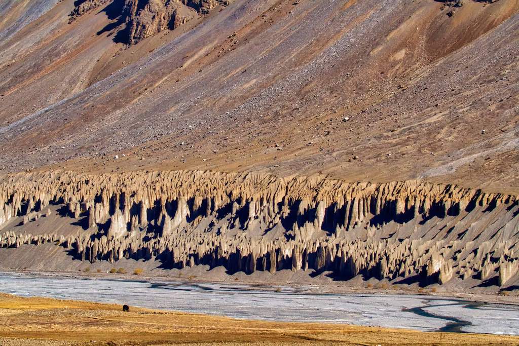
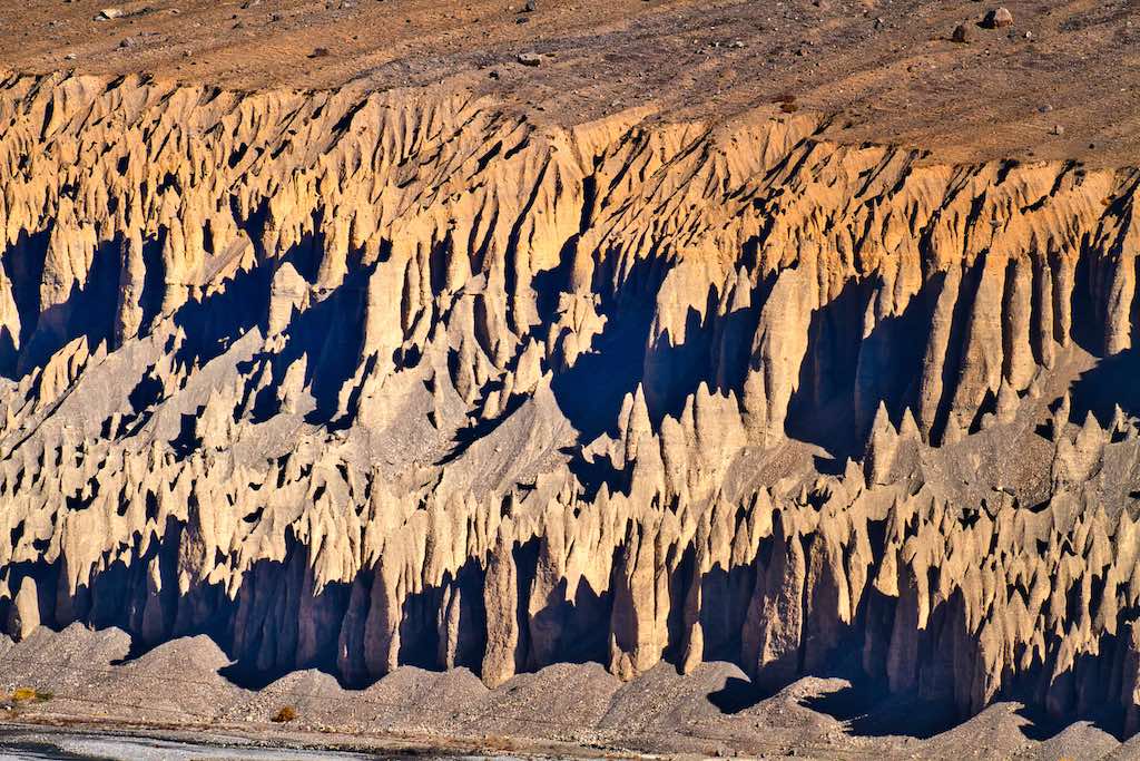
The banks of the river is another fascinating place to see unique geological formations. We crossed many such places, one looking like sentries standing guard on the river bank!
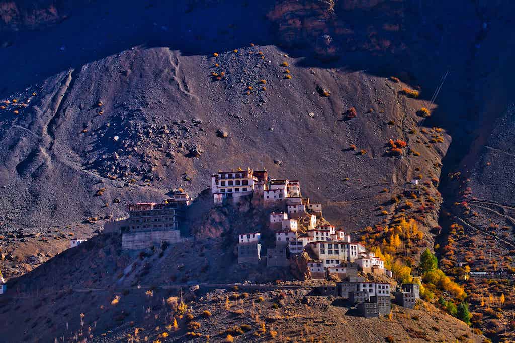
We crossed the Key Monastery again. Another majestic sight from the distance.
The road continued along the river valley, with it’s ups and downs. It is impossible to capture everything we saw, but few sights will give an idea.

The roads on the way tended to vanish into tracks, but motorable.
But as we approached the only big village on the way, Losar, the majestic mountains rose sheer up, providing for beautiful views.

Losar is a small village, one of those closest to the Indo-Tibetan border located at 13,400 feet (4,085 m) altitude. Situated between mountains, it has spectacular views. Facilities are limited as tourists use it only as a halt on their travel between Chandratal and Kaza.
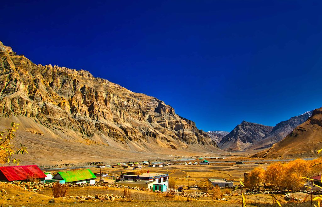
Losar is also reputed to be the coldest village in the Spiti valley due to its altitude and location.
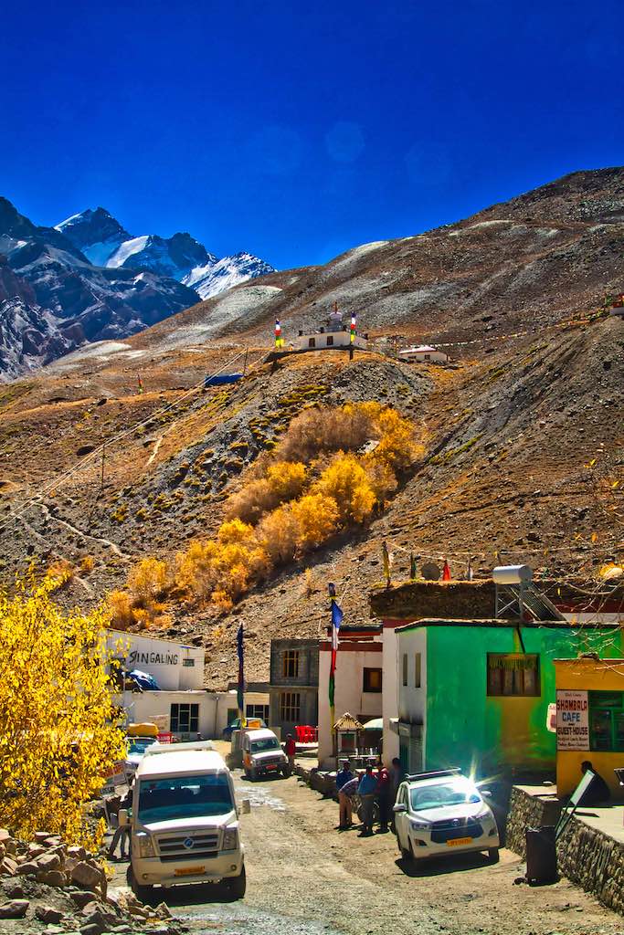
We halted for tea here. But an unpleasant surprise awaited us here! After tea, we saw that finally the tyre was punctured, what we had been dreading since the puncture on the way to Chitkul. The tyre was worn and it looked as not repairable.
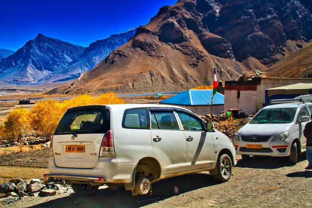
Inquiries of a tyre puncture shop in the village led us to a locked shed. The owner was out working in his fields and so the second car went to fetch him. While the rest of us waited over endless cups of tea and strolling through the one-street town.
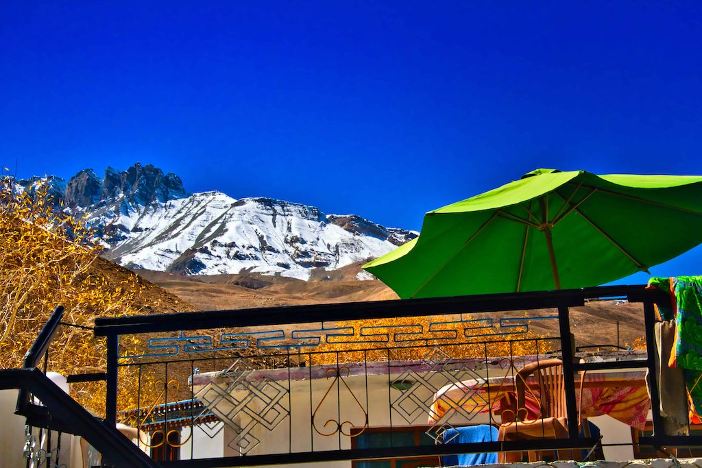
An ideal homestay, if time available 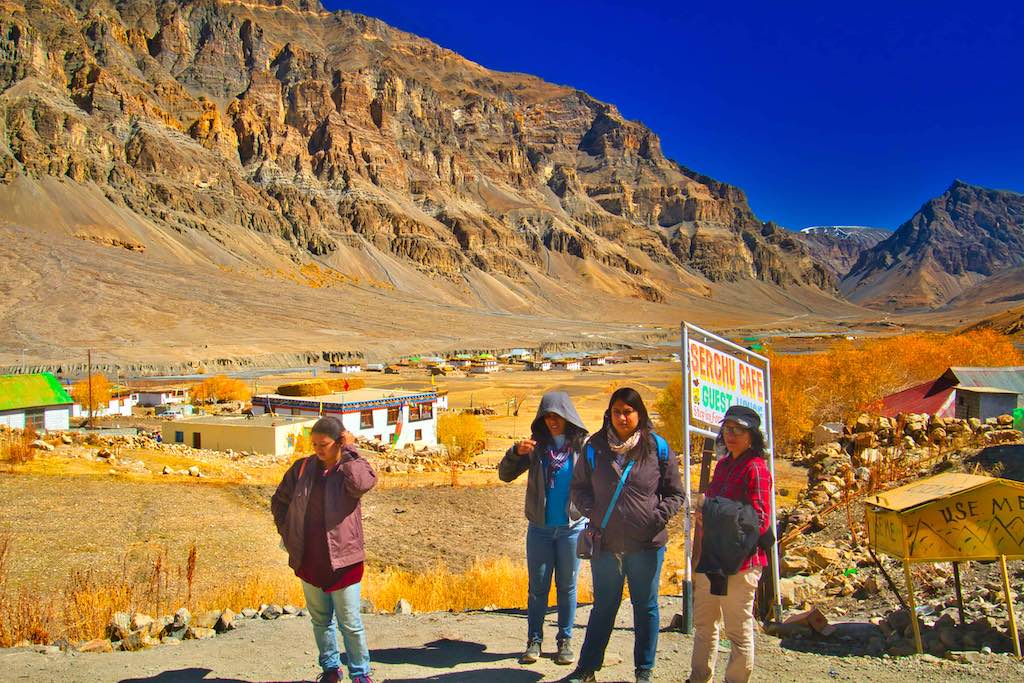
Impatient
He arrived only after an hour. In the meantime inquiries for a new tyre from any nearby place was also explored, not successfully. Finally, the Indian jugaad came to our rescue! The shop had an old tractor front tyre lying with him, which he could tyre fit on our car. It worked! There was no other option for us, so we then set off with the alternative, even if such substitutions are not recommended on such roads and terrain.
We lost approximately 3 hours at Losar, a bit of a dent in our plan at Chandratal in the evening. The drive now onwards was all dirt tracks, and we hoped the tyre would last out. The Spiti continued alongside.
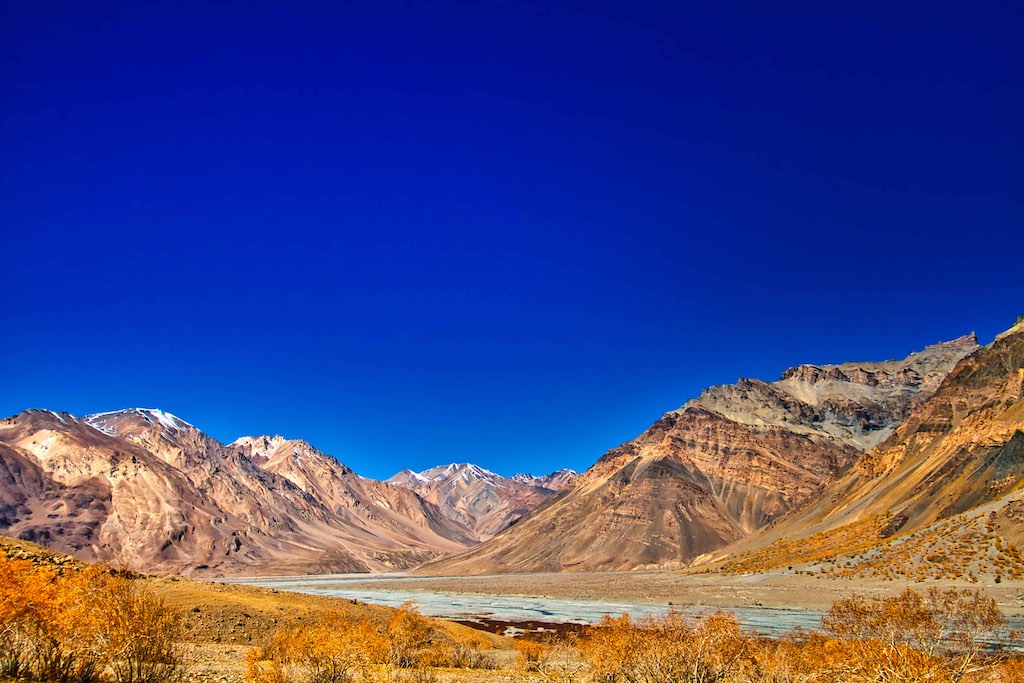
The drive is through a dry, semi-desert terrain for the 22 km from Losar to Kunzum Pass.
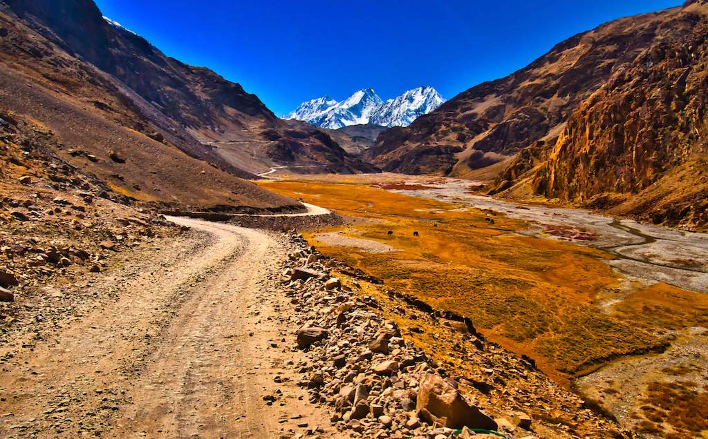
Kunzum Pass at 14,931 feet (4,551 m), is a high mountain pass in the eastern Kunzum Range of the Himalayas. It connects Lahaul valley and Spiti valley. It is among one of the highest motorable mountain passes in India.

The pass also has a temple devoted to Kunzum Mata, an avatar of Durga Mata, the deity who guards the pass and protects it and the travellers from evil powers. All visitors travelling through Kunzum Pass stop at the temple to seek blessings for the journey. It is a tradition that whoever visits the temple should take a complete round of it in the vehicle, which is strictly observed. Many Buddhist monasteries and gompas surround the temple. These monasteries with coloured prayer flags give a mesmerizing view.
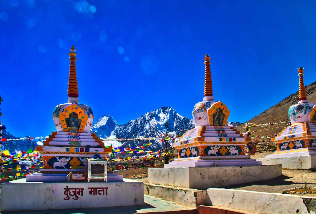
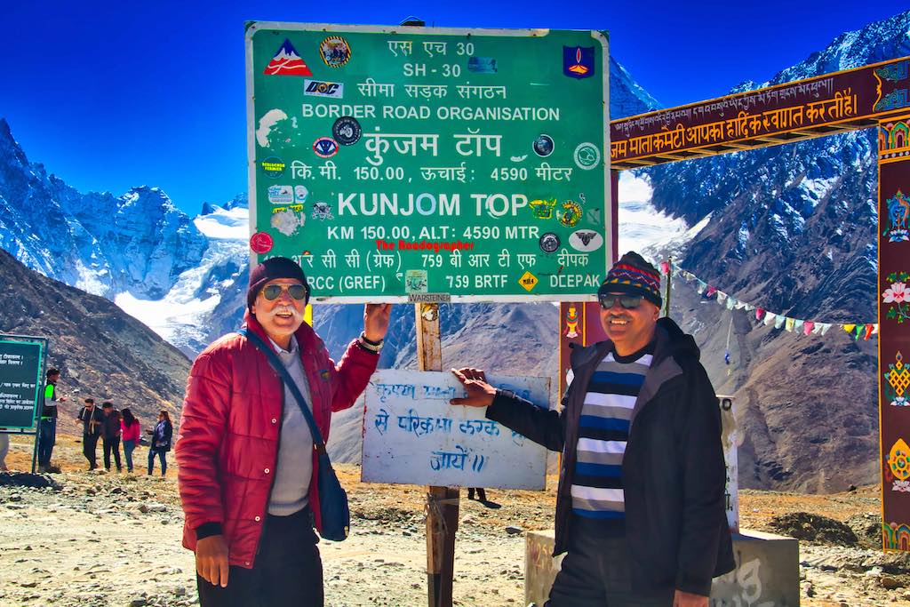
Kunzum Pass is a breathtaking sight to behold. Kunzum Pass is a haven for photographers! Beautiful glaciers, snow-clad peaks and the valley beyond give exquisite views for photography.
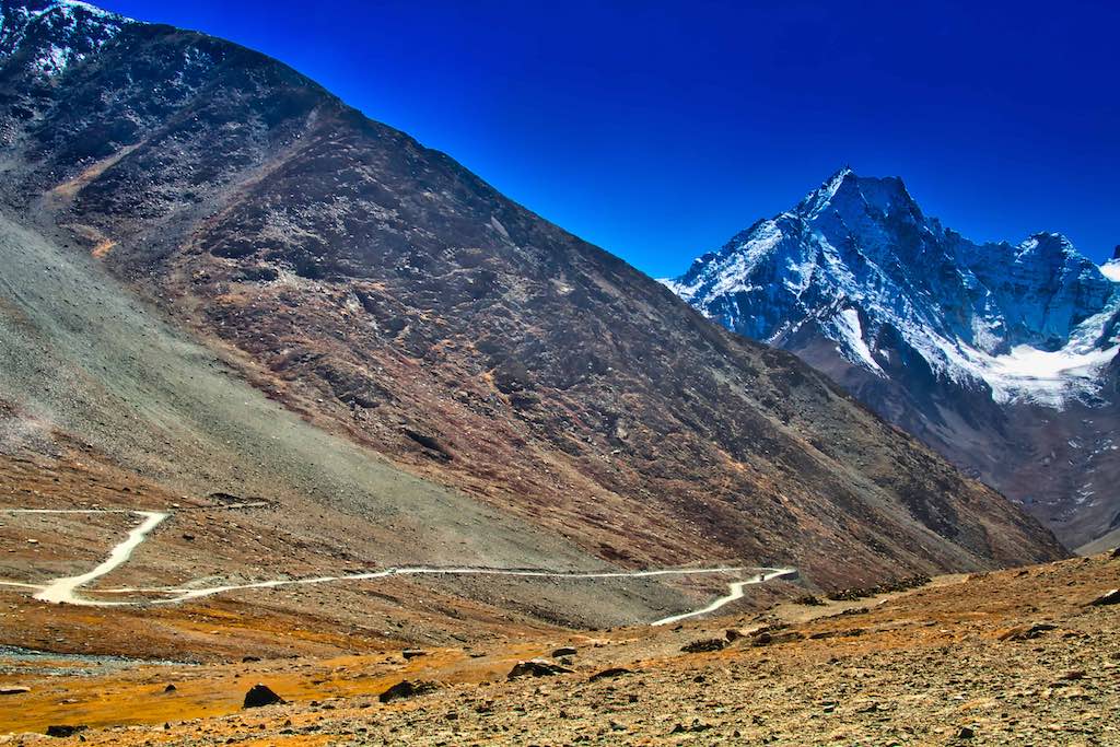
One of the exciting features of the pass is the fifteen hair-raising hairpin bends on the way down to Batal. Though these turns present a beautiful view of the surrounding mountains, they make the Pass a testing ground for the driving skills of the travellers.
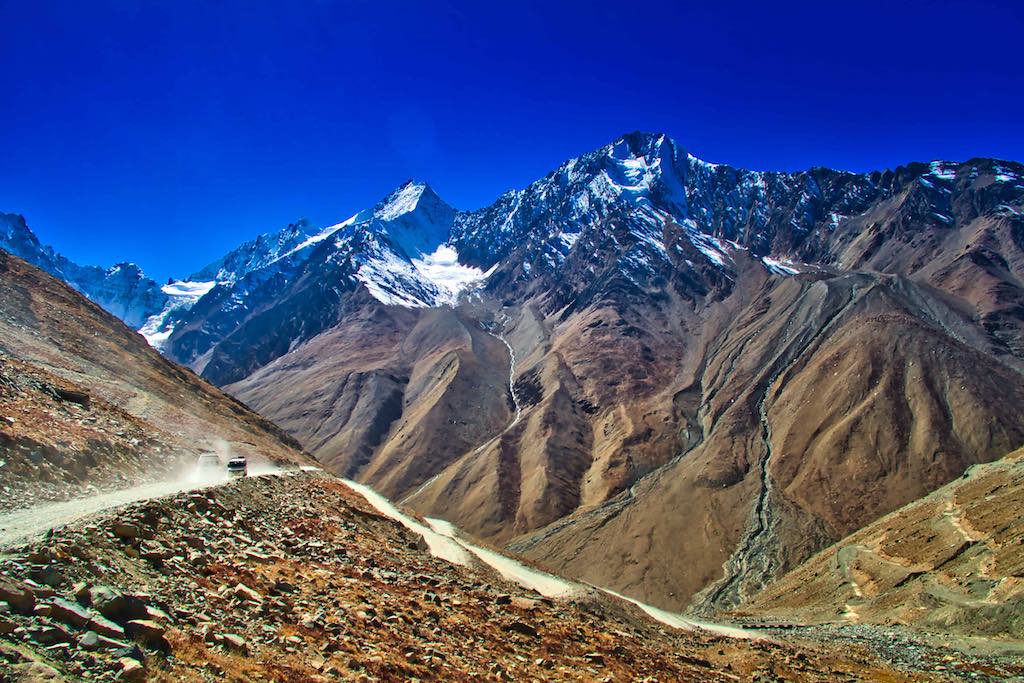
The Chandrabhaga range is a part of the Himalayas. At an altitude of 6,264 meters above sea level, they provide a majestic backdrop to the panorama viewed from the Pass.
Kunzum Pass is a haven for photographers! Beautiful glaciers, snow-clad peaks and the valley beyond give exquisite views for photography.
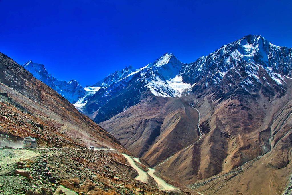
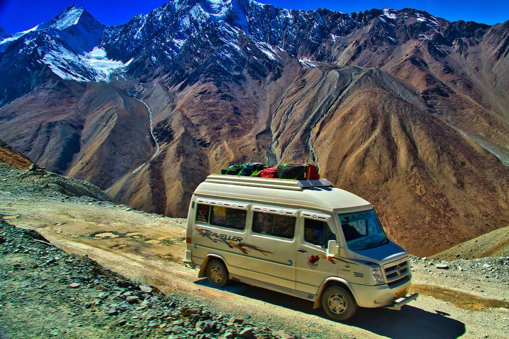
Soon after descending from Kunzum Pass, the Chenab River, known here as the Chandra River, is visible. From which the name of the mountain ranges is derived.
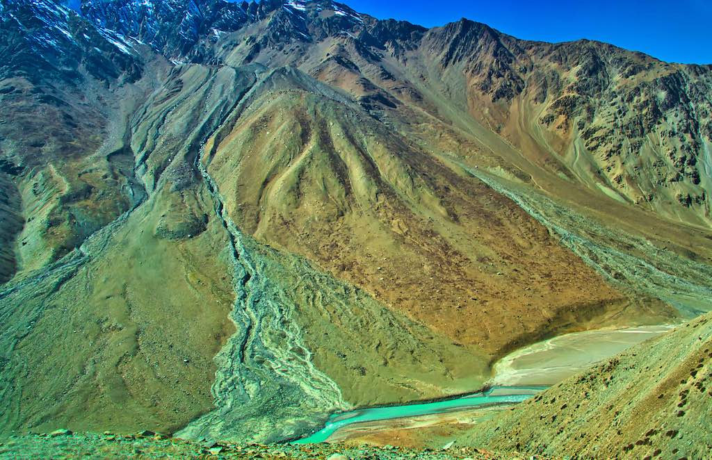
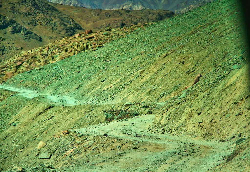
The narrow track going towards Chandratal Lake branches off the to the right and one follows the Chenab River upstream (northwards). This 15 km distance is one of the worst stretches we encountered in our entire journey.
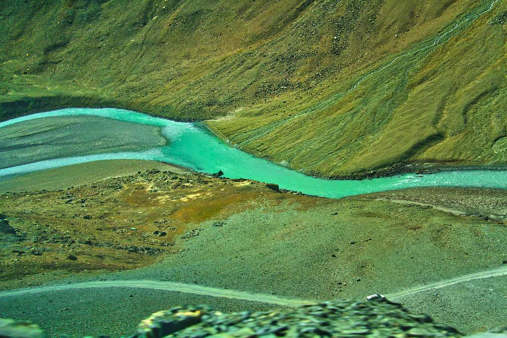
Barely a jeepable track, it is and narrow one-way, with barely any crossing places even for a small car coming from the opposite direction. The rule is that as soon as an oncoming vehicle is spotted from afar, wherever the first some road space is available, one stops there. Even if it seems a long wait for the other car to reach!
The sheer rise of the Chandrabhaga mountain ranges on the other side of the river provides us with breathtaking views of snow clad peaks.
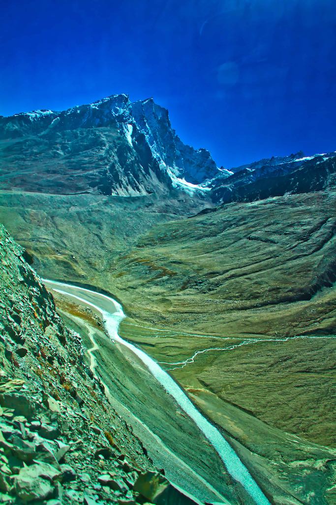
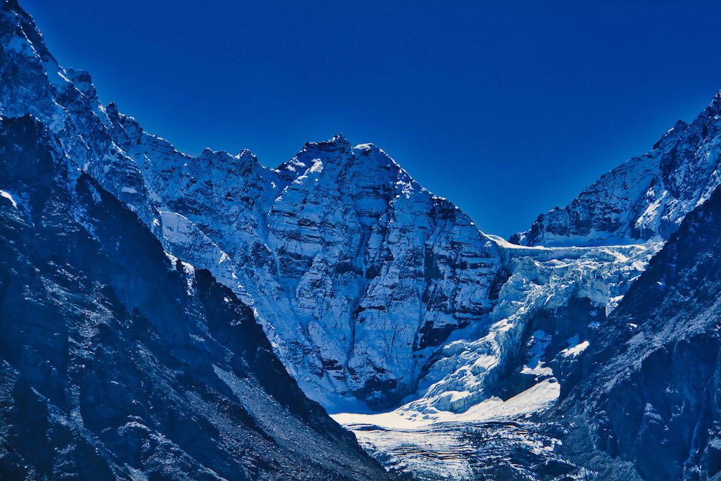
Luckily for us, there were hardly any vehicles on the road, probably since we were late due to our tyre fiasco. Since we had to visit the Chandratal Lake today itself, we skipped a halt at our camp for tea and headed straight for the parking for the lake, a few kilometres ahead. Earlier the camps were also located there, but due to environment concerns, the camps were shifted further away from the lake.

The car park itself was some distance from the actual lake, again due to environmental concerns.
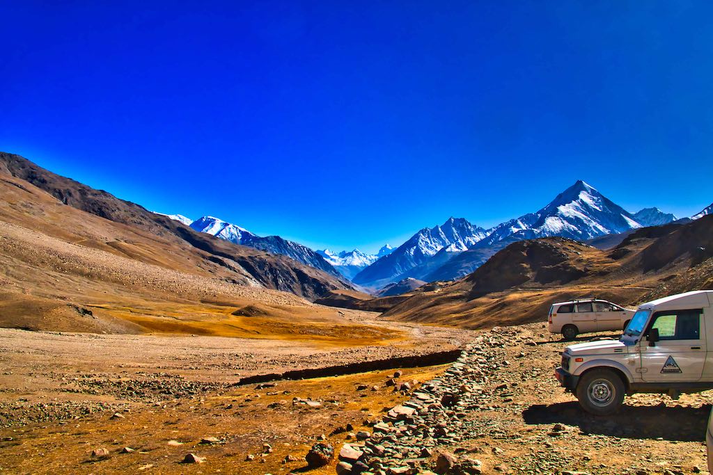
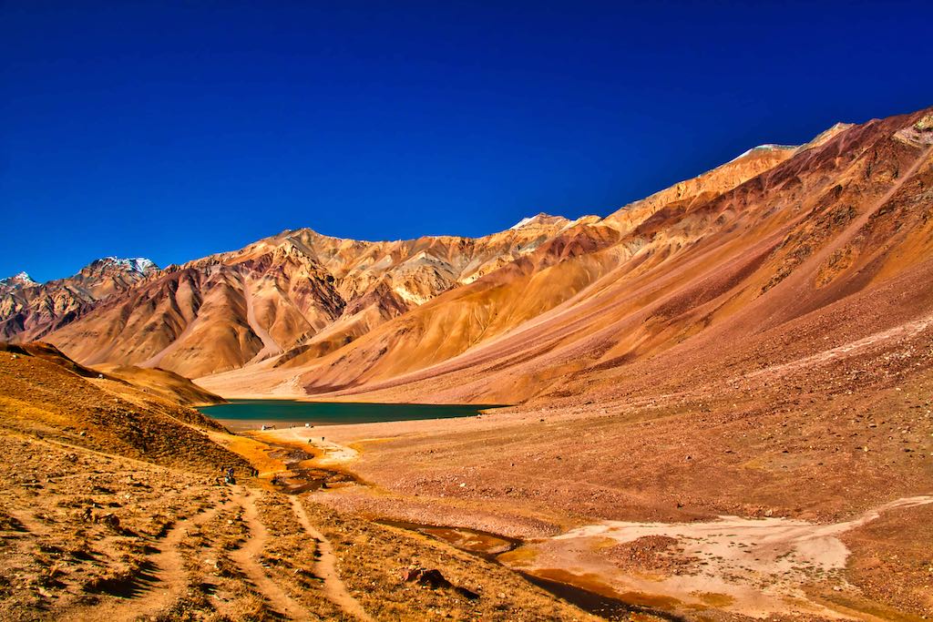
Chandratal is a beautiful high altitude lake at an altitude of 4,300 meters. The name Chandra refers to the moon in Hindi and the lake is named the same because of its crescent shape. The lake is located in the plateau of Samudra Tapu. Travellers can trek to this beautiful lake from the Kunzum Pass, an option not for us! The walking portion was some distance, and very exhausting because of the altitude and the incline. But the mountains grew higher as we approached the lake, and the myriad colours due to geological strata looked like nature had painted the panorama to perfection.

As is expected, the Buddhist prayers flags were omnipresent, providing a colourful touch while spreading their message through the breeze.
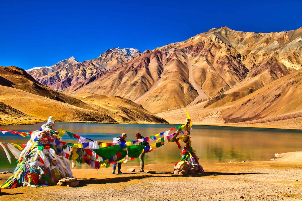
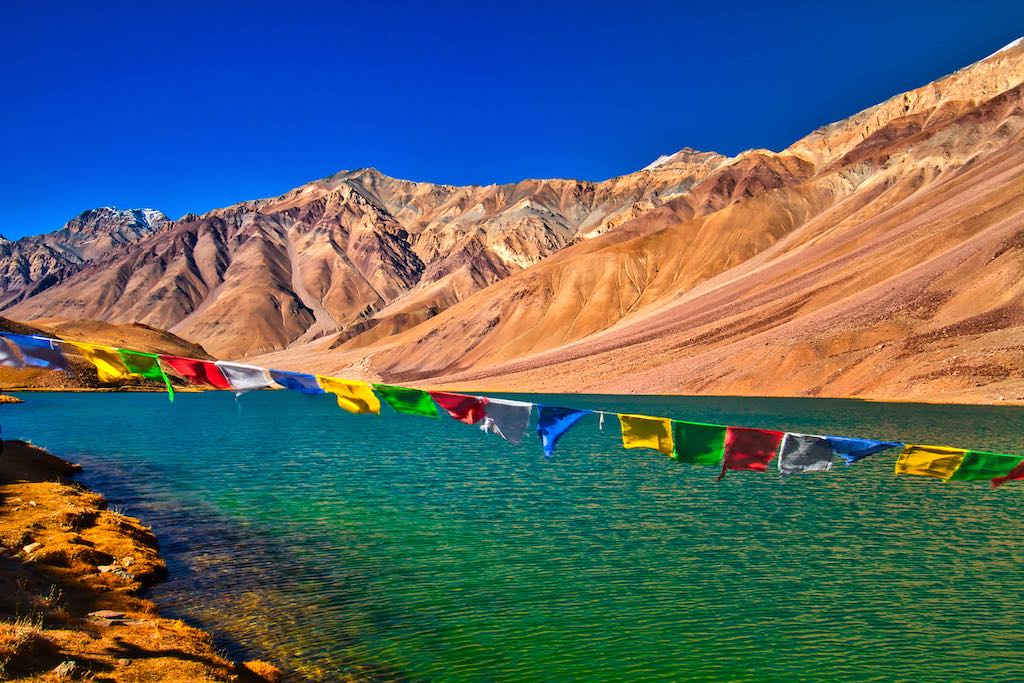
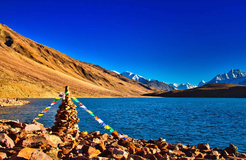
As well as the building of latas (cairns) and stringing of lung-tas (prayer flags) on top of mountain passes and peaks, it is Buddhist practice to erect ‘ovoos’ in these places. An ovoo is a rock pile and has its origins in a Mongolian shamanistic practice. They have been assimilated into Tibetan Buddhism and are most evident in Tibet and the Indian Himalayas. Some of the piles contain stones which are inscribed with a Buddhist mantra to pay homage to the spirits of the sky and mountains and to ensure a safe journey.
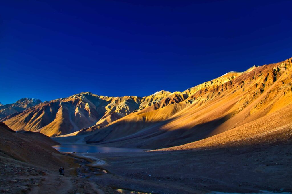
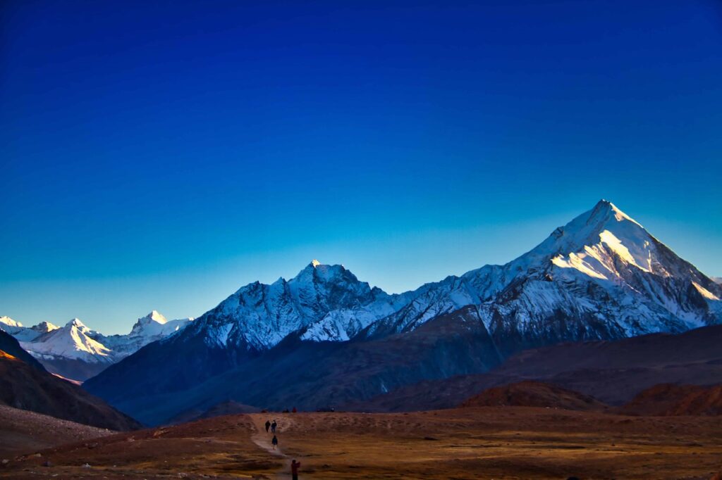
The dinner was a crowded affair. An all women’s travel group with ladies of all age groups was also staying in the camp. The chatter was naturally deafening! That night I had planned to try my luck with photographing stars, as it was a “must-do” at Chandratal, with its crystal clear skies. Even though the weather became freezing as soon as the sun went down I set up the stand and other accessories in the pitch dark night, with Bhavna shining the torch. This was my first try with this photography and the results were mixed. However, the snow-clad peaks shone in the moonlight and the magical view was worth the effort!

Day 9
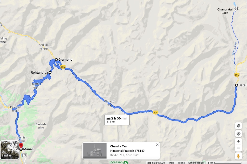
Today was a long back-breaking drive for us. With the night halt planned at Manali. Finally, back in civilisation! The track from Chandratal till Batal (15 km) was bad, and that from Batal till Gramphu (50 km) not much better. And this section had the dreaded pagal nalas, which were crossings of mountain streams which could be dangerous if there had been rain or snow melting in their catchment areas. Hence they had been christened as ‘pagal nalas‘. At Gramphu we would finally get on to the Leh-Manali highway and things should become better.
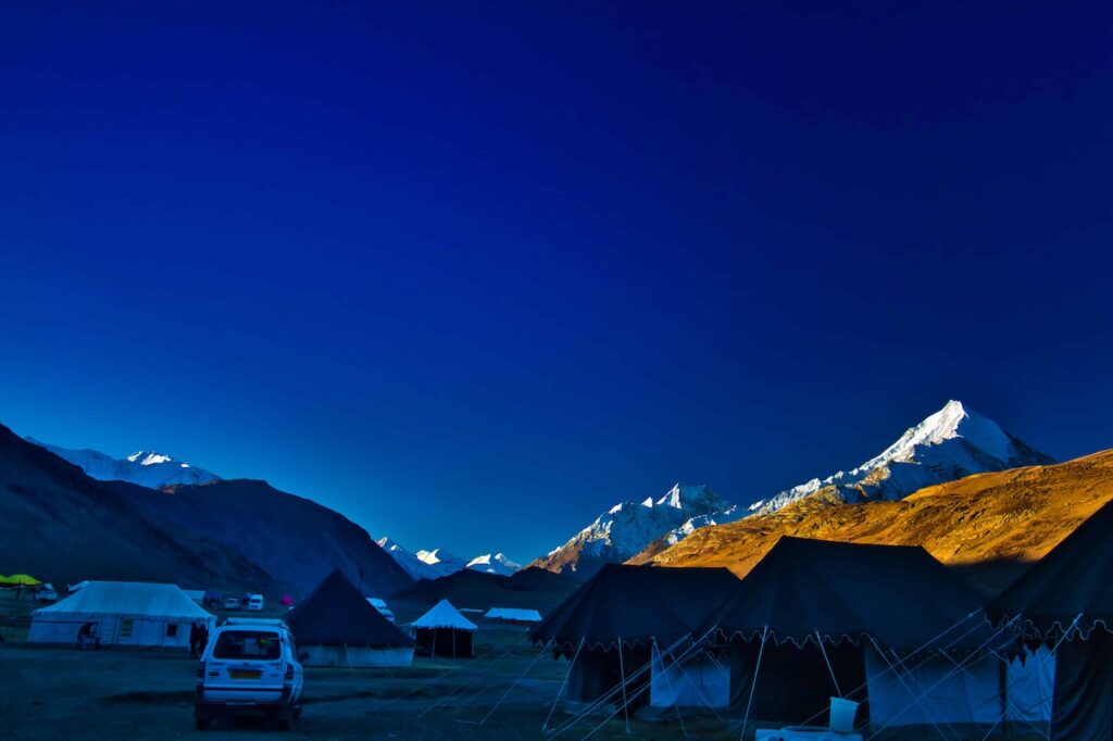
The sunrise was glorious, with the sun rays slowly creeping across the peaks surrounding the camp. The night had been cold, I slept with all woollens and caps on! To catch the early morning photos, however, I had to make do with freezing water from the water tank kept outside as the promised hot water did not materialise till much later.
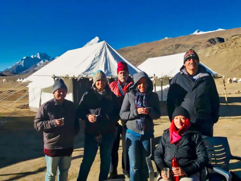
After an early morning hot breakfast, we set off. It was interesting to note that our drivers had started their vehicles half an hour earlier before starting on the journey. He said that unless the engine is well heated, one should not put any load on the engine in these high altitude areas.
The rough ride till we met the track coming down from the Kunzum Pass was passable, being quite early, we did not find many vehicles on the road.
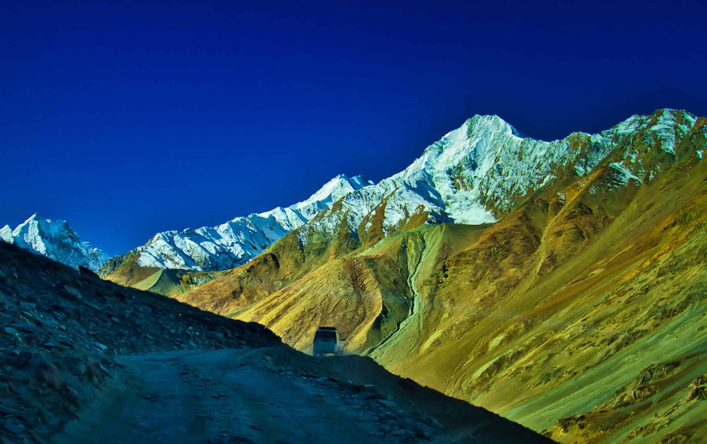
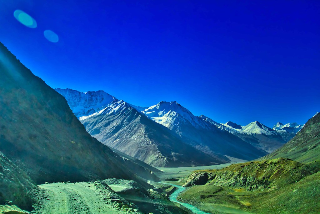
At a height of around 4000 metres, Batal is a perilous region with no network signal, no petrol pumps, negligible human habitation and only deadly roads. Despite that, an old couple in their 60s at a make-shift dhaba, ensures delectable food and comfortable accommodation for every visitor who ever halts here.

Dorje and Chhomo offer food and lodging (for over 40 persons) with cosy beddings on the floor in a makeshift shelter at unbelievable nominal rates. There are countless stories of travellers stranded for days at the dhaba due to inclement weather, who have enjoyed the the hospitality of the couple.

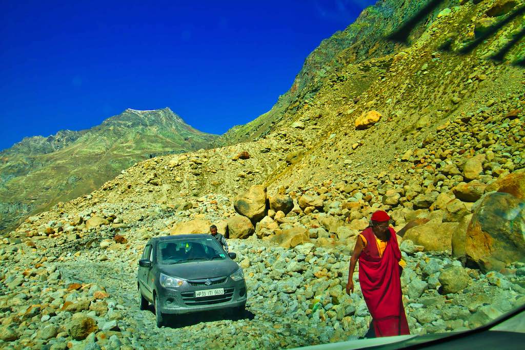
We had another stretch of non-existent roads over boulders and streams to traverse till we reached Gramphu. No roads exist in these areas due to heavy snowfall in winters, and the glaciers formed destroy any construction, leaving only the boulder-filled moraines behind. The pagal nalas were another danger, with many cases of vehicles being washed off when drivers tried to negotiate the streams during heavy water flows.

Fortunately, the water flow in the streams was negligible, however, due to the big boulders all passengers had to dismount from the vehicles to increase its clearance. This was a common practice we noticed.

To protect your personal data, your connection to YouTube has been blocked.
Click on Load video to unblock YouTube.
By loading the video you accept the privacy policy of YouTube.
More information about YouTube’s privacy policy can be found here Google – Privacy & Terms.
Despite the road condition, the views across the Chenab valley remained stupendous and more than made up for the bumpy ride.

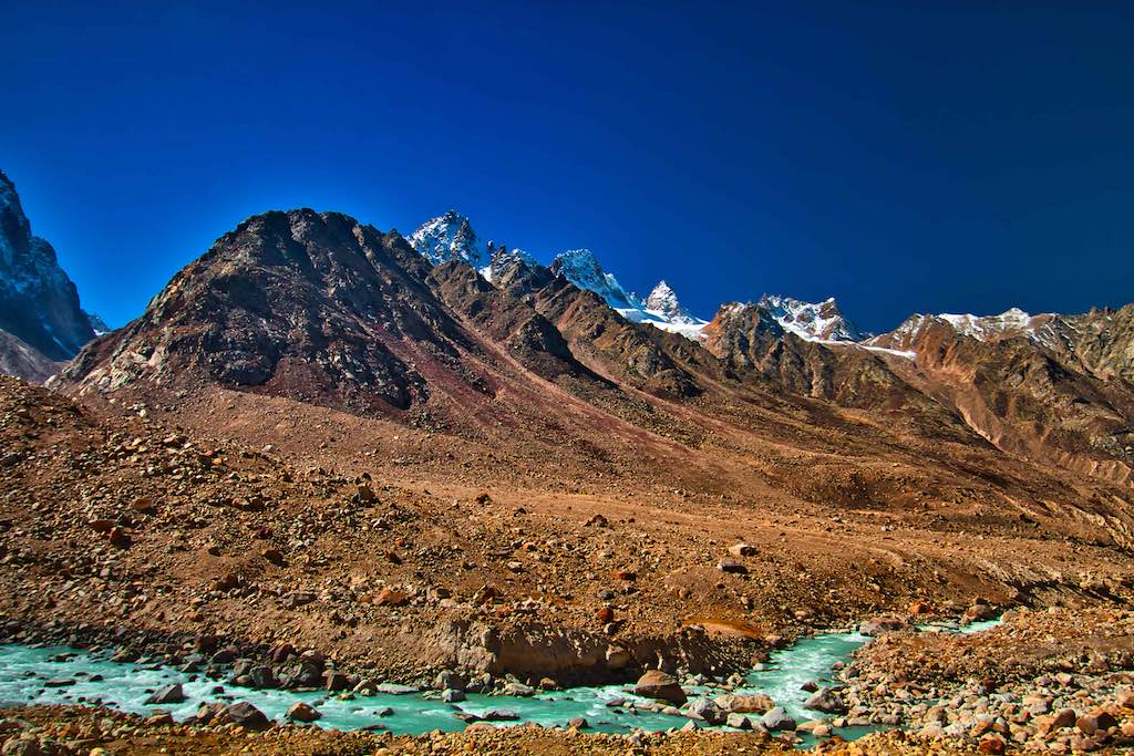
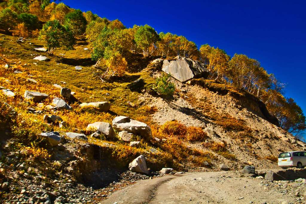
The approach of Gramphu was marked by the appearance of the tree-line. A welcome change since the last few days was travel across the barren high altitude desert.
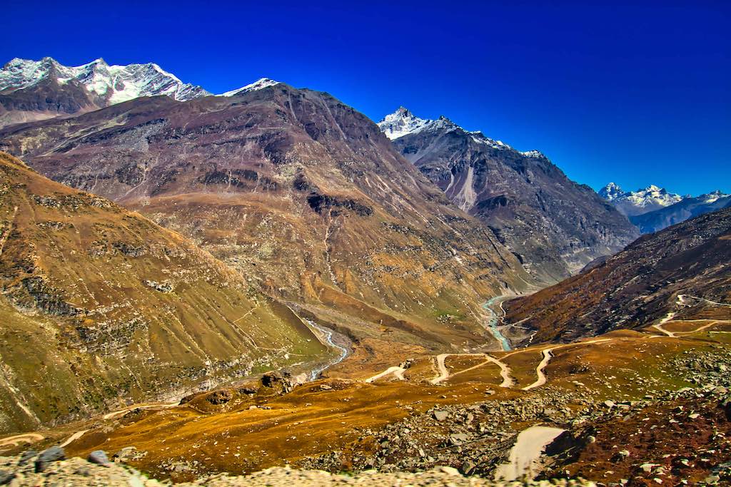
At Gramphu we finally got onto the Leh-Manali highway (NH 3), a welcome relief of again riding on a black-top road!

We could look back to see the narrow winding track we had jus traversed on the way from Batal – it was an amazing sight! The surrounding mountains were made up of myriad colours, a breathtaking work of nature.
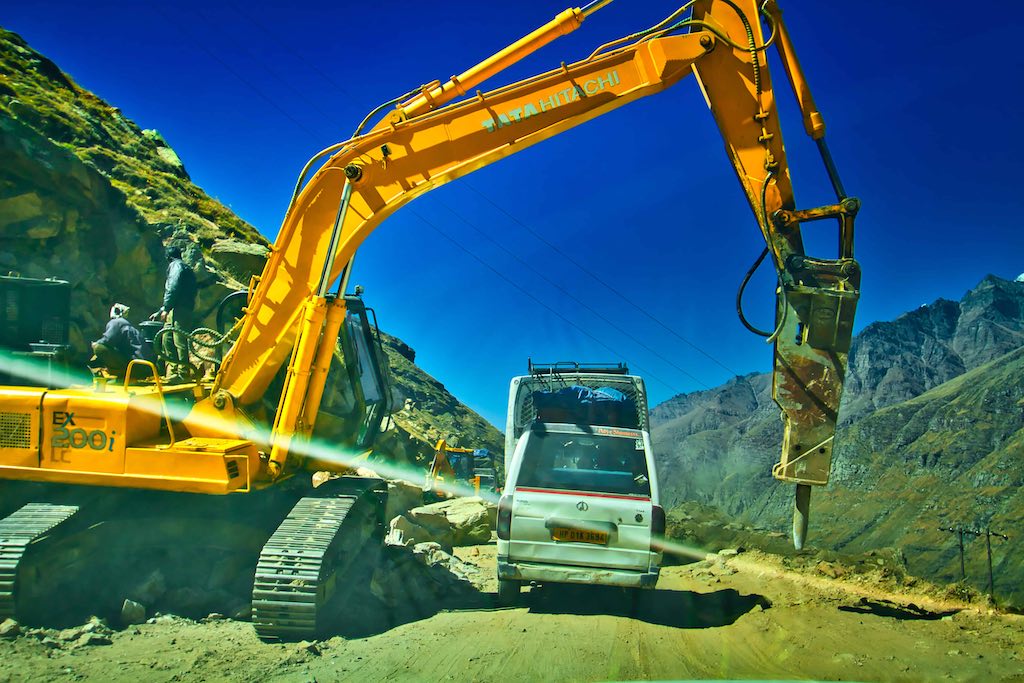
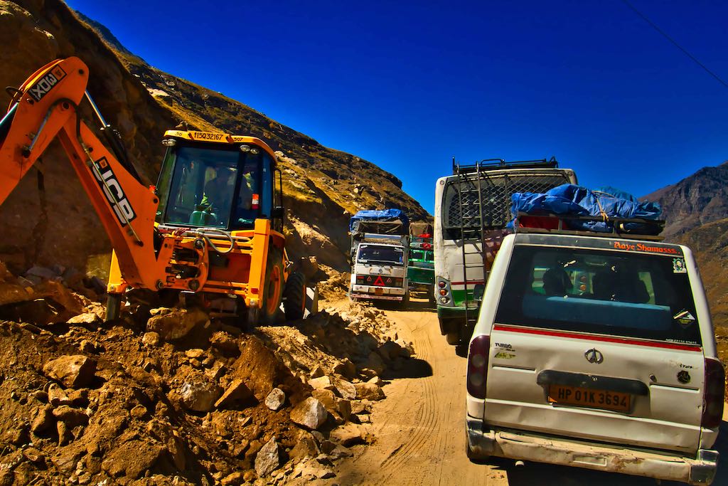
Our joy as shortlived, the road on the climb to Rohtang Pass was undergoing major repairs and most to the climb was across dug-up roads.
Rohtang Pass [lit: རོ་ (Ro)- corpse, ཐང་། (thang)- plain/field] is named as such due to people dying in bad weather trying to cross the pass. It is a high mountain pass at an elevation of 3,980 m (13,058 ft) on the eastern Pir Panjal Range of the Himalayas around 51 km from Manali. It connects the Kullu Valley with the Lahaul and Spiti Valleys of Himachal Pradesh.
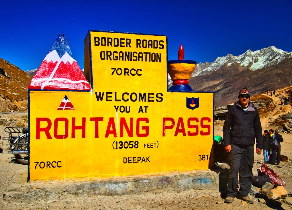
The pass provides a natural divide between the Kullu Valley with a primarily Hindu culture (in the south), and the arid high-altitude Lahaul and Spiti valleys with a Buddhist culture (in the north). The pass lies on the watershed between the Chenab and Beas basins. On the southern side of this pass, the Beas River emerges from underground and flows southward and on its northern side, the Chandra River (flows from the eastern Himalayas), a source stream of the river Chenab, flows westward.

The road on the descent from the Rohtang Pass was in excellent condition, and finally we could settle down to a smooth drive till Manali.
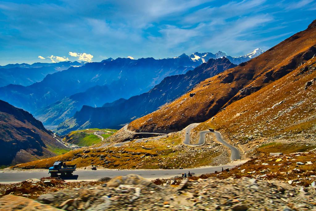
The road was full of zig-zags as it lost altitude quickly, providing a beautiful view from above.
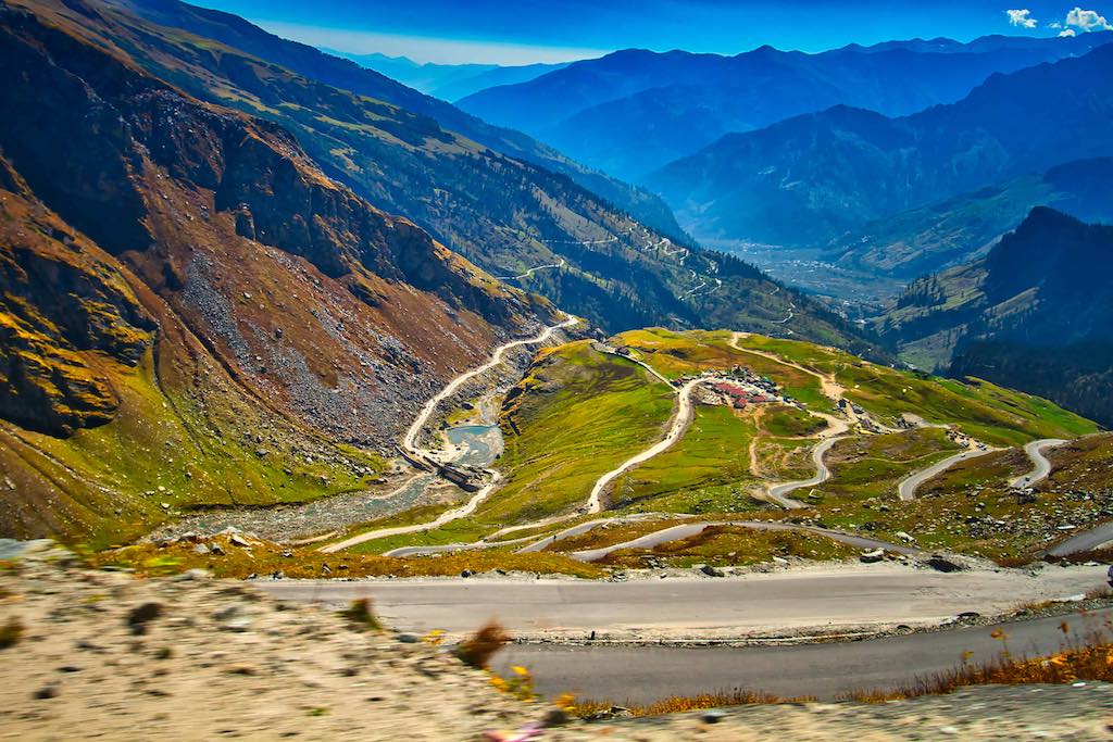
On the way we crossed the popular paragliding point, from where paragliding was going on in full swing. The colourful parachutes provided a lovely sight against the towering mountains around.

After a lunch break at Marhi, we were on our final leg to Manali. The vegetation in the surroundings grew steadily and it was a comfortable drive henceforth, though the road was full of tourists.
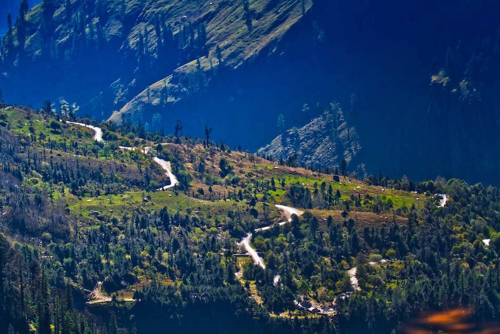
Nearing Manali, there is a traffic jam due to heavy traffic on the roads. A change from the empty roads we have been travelling on during the last week! We cooled our heels till it cleared up enough for us to crawl forward.

Our hotel is in the old town area, which we were told is always jammed. But the driver knew his way around and we were at the Dragon Inn for evening tea. To our relief!
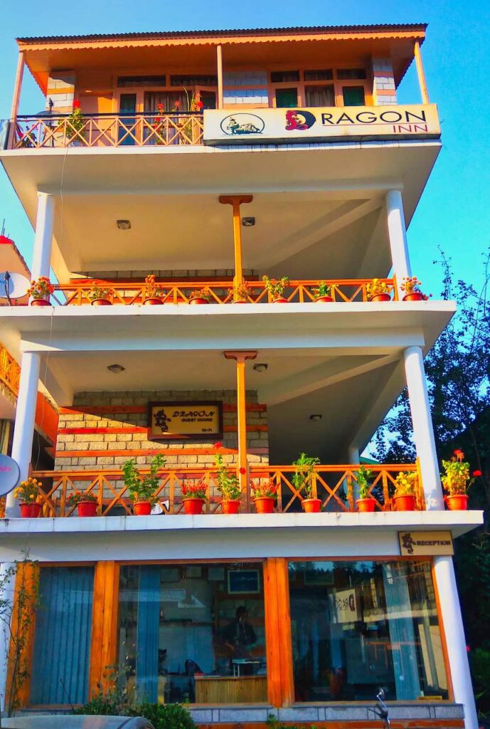
We looked forward to a nice hot shower, something missed during the trip. Followed with a hot cup of tea.
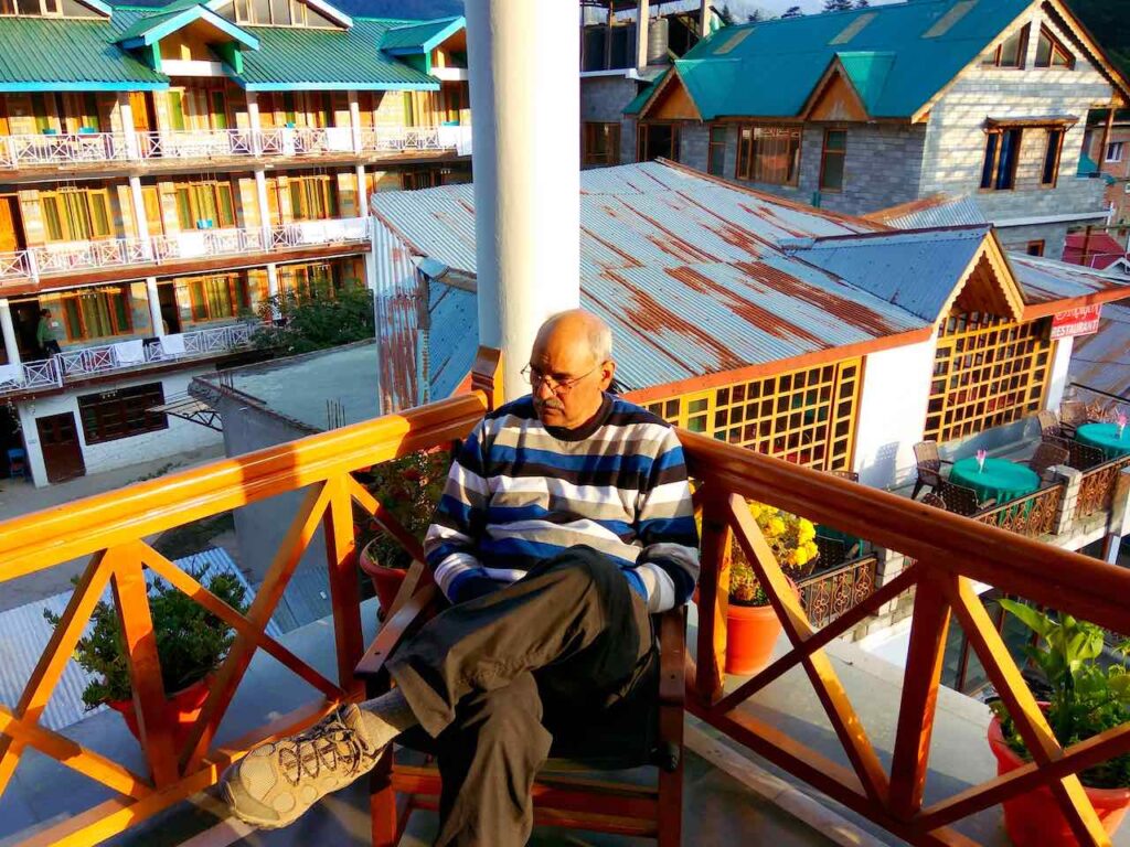
It had been a long trip, with long and arduous hours of travelling continuously for the past nine days. A memorable trip we had, gazing at magnificent sights all along and visiting places one had even not read about, and which turned out to have so much of history. A reminder of how little knowledge we had about our own country. We had travelled to the remotest regions of the country and seen how people survived in the harshest climates, with the bare minimum even today. Yet they were the happiest, content and the most hospitable. A smile always on their face.
Day 10 & Footnote
The journey did not end at Manali, we were to return to Chandigarh.
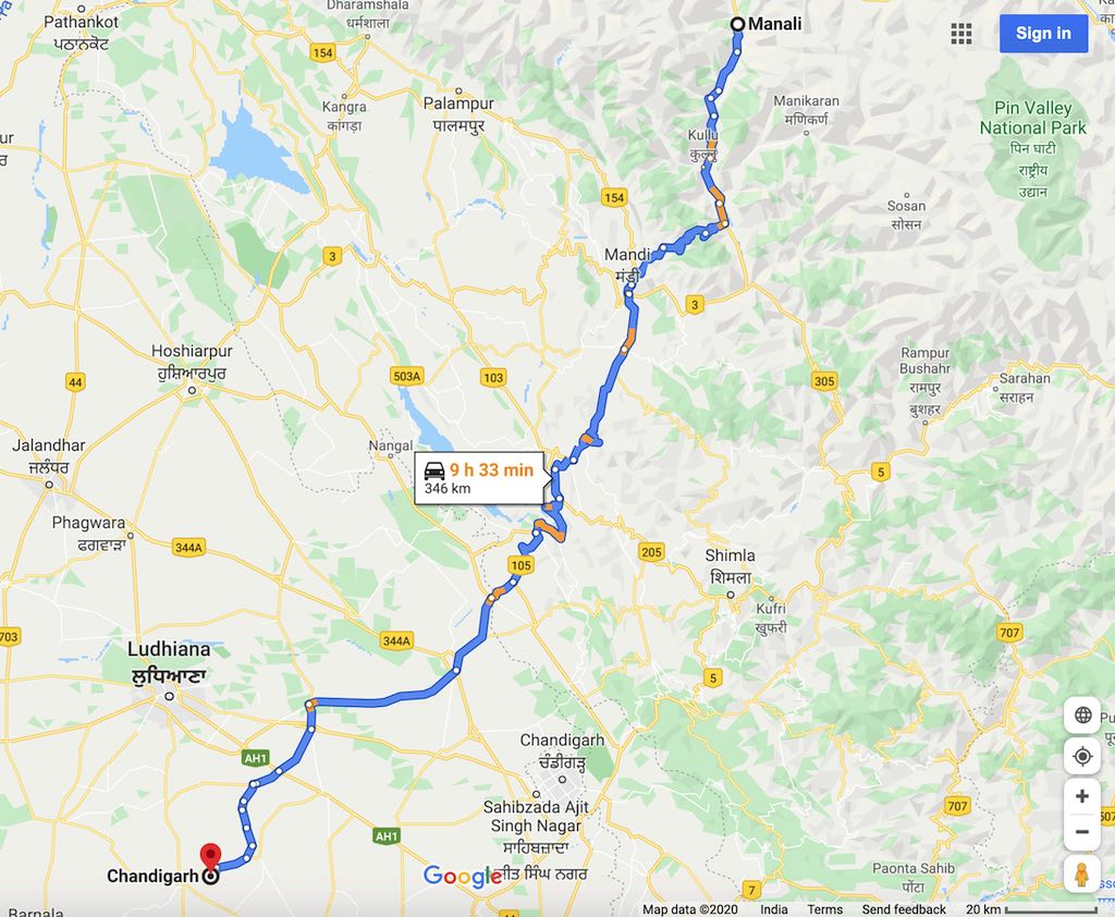
That night was one to freak out – alcohol had been banned throughout the trip due to travelling in high altitudes. That night we celebrated the return to lower altitudes over a glass of beer in a local bar. We had to leave very early the next morning as once the tourist buses started for Delhi around 7:00 am – there are anywhere between 200 to 300 buses DAILY plying – it would be a disaster for us. We were up around 6:00 am and off for Chandigarh. An uneventful journey, except that Tenzin had taken off. The driver dropped me off at the railway station well before time. The bad news was that the Rajdhani train was a few hours late and so one reached home only late at night.
Tips
Many Spiti valley excursions take the reverse route, i.e. start from Rohtang, Gramphu etc. It is advised to follow the circuit we had taken as then the highest altitudes we encountered at Chandratal were reached only towards the end, by which time we all were properly acclimatised. The reverse circuit will take one to the highest altitudes on the first day itself, and not recommended.
Note: All photographs displayed above are my exclusive property; their use is prohibited without explicit consent, in writing.


20 Responses
Wonderful 😍
Thank you
Very well articulated, interspersed with amazing pics gave me a feel of accompanying the Travellers. It was a pleasure reading the travelogue. It provides very useful information for the future travellers. The weather details, clothing required and the finances required to do such a trip could have been included to assist the potential Travellers to plan their trip in a systematic manner. Overall an excellent travelogue !
Thanks for the comments. Yes, more details could be added. But already too long! Most details otherwise are easily available online nowadays – or anyone can ask.
Wow Sir. This is excellent stuff.
I clicked on the link with the aim of having just a cursory glance. What I discovered were some stunning photographs and beautiful descriptions.
Goes without saying that you are an amazing photographer and an excellent blogger.
Thanks for sharing all the material .
Thanks! Good that you enjoyed the journey!
Fantastic, amazing clarity and colours. Really enjoyed reading about your adventure. Hope you are safe and well.
Chris
Thanks, and nice that you were able to enjoy the virtual journey 🙂
The adventure in you has only got more profound! Daring and simply amazing. Excellent account and great photography.
Thanks, Mickie! Just that now one has more time to see new places 🙂
Poetry in pictures .
Thank you!
What an amazing read 🙂
Once again.. love the write up and pictures 🙂
Thanks, Sarika!
Awesome. Words are not adequate to describe
Thank you!
Rather than Human interference, it is better to leave this area undisturbed,
Beautiful. Let Nature flourish
Very true. It will remain so, because of its remoteness.
Sir, totally thrilled by your blog . Very senic pics and in detail explained the tour . Closing comments are icing on the cake.
Thanks. Yes, the people inhabiting those remote places were the most hospitable people one can meet. Always ready to help in whatever way they can.